Log in
All resources
Create a design
27,441 Free Images of Maps
maps of the great wall of china
koninklijke bibliotheek
maps in portrait paintings
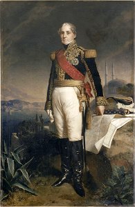
portrait
ships on maps
geography
maps with cartouches
oil on canvas
maps with figures
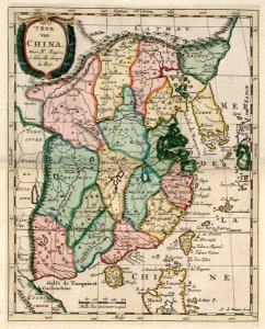
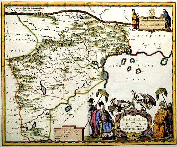
novus atlas sinensis
old maps of french guiana
1630s maps of brazil
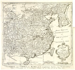
maps of the dutch east india company - china
1665
atlas van der hagen (volume 4)
atlas van der hagen
maps of the european exploration of africa
19th-century maps of south sudan
1520s maps of the world
propaganda map
atlas maior, vol 11 (asia) - joan blaeu, 1667 - bl 114.h(star).11
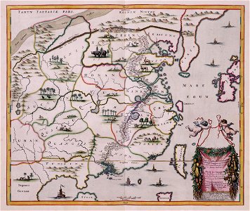
1660s maps of china
maps of the dutch east india company - korea
maps of the dutch east india company - china
americae 1562 by diego gutiérrez and hieronymus cock
renaissance
french nobility by winterhalter
academic art,rococo revival
1816 maps
1684 maps
icons
blue
maps of dioceses of the church of england
18th-century maps of hertfordshire
frans post
baroque
history paintings by jan matejko
portraits of nicolaus copernicus
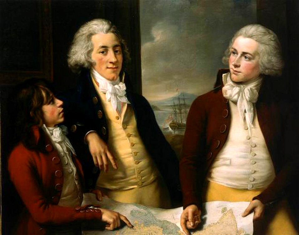
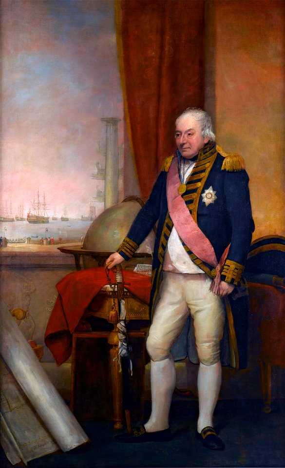
18th-century portrait paintings in the national maritime museum, london
john francis rigaud
maps from university of amsterdam special collections
atlas der neederlanden
1560s maps of north america
paolo forlani
adriaan justus enschedé
old maps of haarlem
sanson maps of asia
company land
fort zeelandia, taiwan in art
siege of fort zeelandia
1550s maps of the iberian peninsula
renaissance
bezirk bruck-mürzzuschlag
tragöß-sankt katharein
old maps of banská štiavnica
danubius pannonico-mysicus
borders of andorra-france
maps of borders of spain
old maps of the british empire
illustrations by walter crane
maps by thomas kitchin
willow palisade
maps by willem and johannes blaeu
maps of livonia
old maps of the united states
copper engravings
caricatures of napoleon i of france
napoleon on elba
symbol
maps
symbol
maps
geography
maps
planet
maps
low poly
maps
lithographs of paris
floor plans of paris
maps by christian sgrothen
maps of erkelenz
merian plan of paris
baroque
joannes van doetecum (i)
petrus plancius
maps of the dutch east india company - china
1705 maps of asia
maps by willem and johannes blaeu
pantanal
maps by willem and johannes blaeu
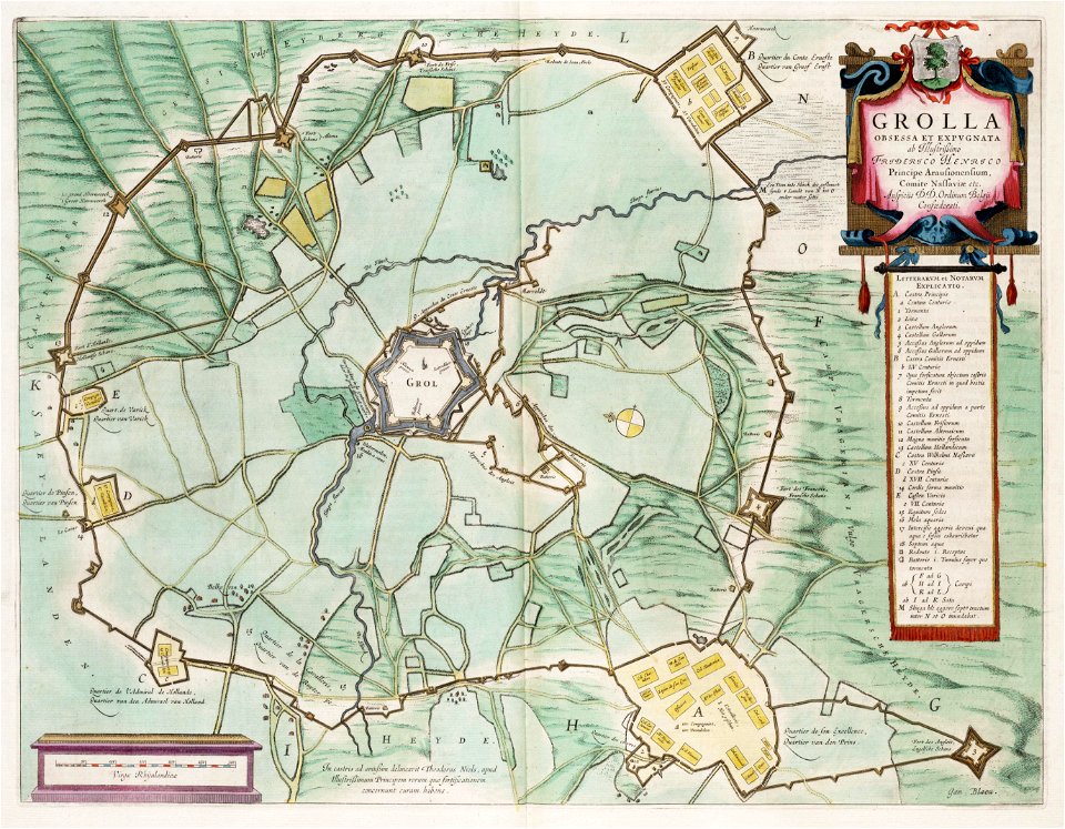
siege of groenlo 1627
novus atlas sinensis
old maps of shandong
1850s maps of ontario
maps by john tallis
1770s maps of china
1779 maps
17th-century maps of jamaica
description de l'universe
expressionism,symbolism,bauhaus
maps of mercury
17th-century maps of the strait of magellan
maps by nicolas sanson
robert wallis (engraver)
henry warren
lithographs of paris
floor plans of paris
lithographs of paris
floor plans of paris
maps in the library of congress
adriaen van der donck
1910s maps of somalia
zeila
18th-century portrait paintings in the national maritime museum, london
domenico pellegrini
portrait paintings of josé moñino, 1st count of floridablanca
bernardo martínez del barranco
atlas van der hagen (volume 4)
atlas van der hagen
old maps of the tsardom of russia
clothing of russia
maps of avesnes-sur-helpe by braun & hogenberg
frederick de wit
ottoman period in the history of palestine
david rumsey historical map collection
chao meng-fu (crater)
cervantes (crater)
curt teich postcard archives
map postcards
john rocque's 1746 map of london
northumberland house
bird's-eye views of paris
engravings of paris
planet
maps
self-published work
maubeuge
russo-turkish war (1877–1878) in art
great eastern crisis (1875–78)
maps in the library of congress
adriaen van der donck
paris à travers les âges
lithographs of paris
maps in the british museum
satirical maps
18th-century double hemisphere world maps
1720s maps of the world
van langren map of southeast asia
1619 maps of asia
john rocque's 1746 map of london
details of old maps of london
magni ducatus lithuaniae
history of olsztyn
1777 maps of new york (state)
1777 maps of new jersey
maps in the library of congress
1891 maps of new york (state)
old maps of rügen
prussian columns
john rocque's 1746 map of london
devonshire house piccadilly
maps of paris in the 1790s
1797 maps
18th-century maps of china
18th-century maps of asia
high-resolution details of the ambassadors (holbein)
german renaissance,northern renaissance
19th-century maps of southeast asia
aristide-michel perrot
carta hydrographica y chorographica de las yslas filipinas
baroque painting
maps of novaya zemlya
india orientalis
male portraits by vladimir borovikovsky
orientalism
turgot map of paris, norman b. leventhal map center
key sheet of the turgot map of paris
portrait paintings of leopold ii, grand duke of tuscany
pietro benvenuti
old maps of the province of bergamo
1580 maps
turgot map of paris, norman b. leventhal map center
proletarian literature
topographia franconiae (merian)
baroque
maps in the library of congress
fortifications of port hudson
spanish-language maps
1785 maps
prints in the royal collection of the united kingdom
maps by carolus allard
16th-century maps of antarctica
maps by gerard de jode
bromfield street (boston, massachusetts)
granary burying ground
fra mauro map details
roc
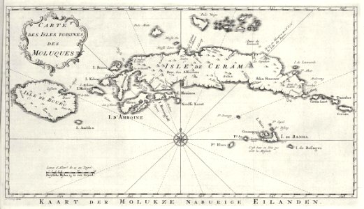
maps of the dutch east india company - indonesia
1750s maps of indonesia
cornell: persuasive cartography: the pj mode collection
maps of the garden of eden
anne baptiste nivelon
rococo
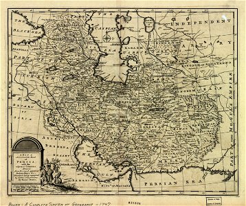
1747 persia map by emanuel bowen
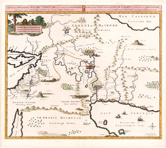
maps of the safavid empire
maps
ball
travel
maps
801 - 900 of 27,441
Next page
/ 275