Log in
All resources
Create a design
395 Free Artworks of Spanish Language Maps
pictorial maps
old manuscript maps
1632 maps
en especial del descubrimiento del reino de la california
descripciones geográphicas e hydrográphicas de muchas tierras y mares del norte y sur en las indias
maps by nicolás de cardona
watercolor maps
bibliothèque nationale de france
maps by tomas lopez
old maps of mexico
maps in the library of congress
maps by jodocus hondius
latin-language maps
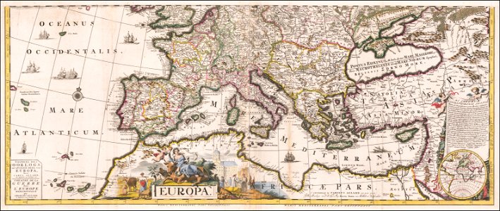
carolus allard
prime meridian
new world
18th-century maps of the spanish empire
johannes ratelband
english-language maps
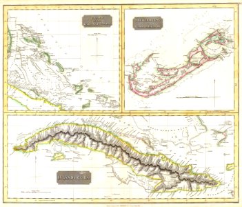
colonial cuba
la rioja (spain) in the 19th century
cantabria in the 19th century
old manuscript maps
pictorial maps
old manuscript maps
pictorial maps
old manuscript maps
pictorial maps
old manuscript maps
pictorial maps
old manuscript maps
pictorial maps
old manuscript maps
pictorial maps
old manuscript maps
pictorial maps
old manuscript maps
pictorial maps
old manuscript maps
pictorial maps
old manuscript maps
pictorial maps
old maps of mexico
pictorial maps
old maps of mexico
pictorial maps
old manuscript maps
pictorial maps
old manuscript maps
pictorial maps
old manuscript maps
pictorial maps
old manuscript maps
pictorial maps
old manuscript maps
pictorial maps
old manuscript maps
pictorial maps
maps of isla margarita
pictorial maps
old maps of mexico
pictorial maps
old manuscript maps
pictorial maps
old maps of mexico
pictorial maps
old manuscript maps
pictorial maps
old manuscript maps
pictorial maps
old maps of mexico
pictorial maps
old maps of mexico
pictorial maps
old manuscript maps
pictorial maps
old manuscript maps
pictorial maps
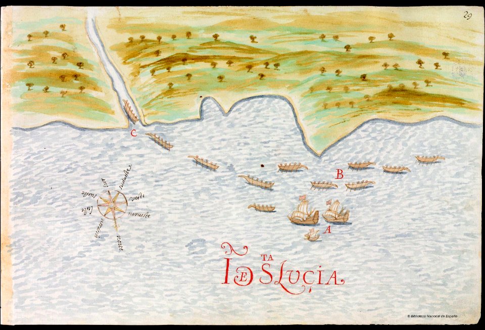
old maps of saint lucia
pictorial maps
old manuscript maps
pictorial maps
old manuscript maps
pictorial maps
nayarit
chacala
old maps of mexico
pictorial maps
gulf of california
pictorial maps
baja california sur
la paz
old maps of earth's hemispheres
pictorial maps
pictorial maps
barbados
old manuscript maps
pictorial maps
history of saint vincent and the grenadines
pictorial maps
pictorial maps
ships of japan
old maps of mexico
pictorial maps
pictorial maps
puerto rico
old constellation maps
maps by samuel dunn
1520s maps of the world
propaganda map
maps in the biblioteca nacional de españa
spanish-language maps
terra australis
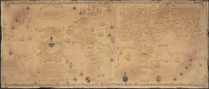
padrón real
maps by willem and johannes blaeu
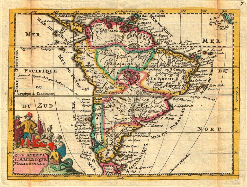
old maps of peru
1747 maps of north carolina
maps by emanuel bowen
maps by jean-baptiste bourguignon d'anville
maps by thomas kitchin
maps by willem and johannes blaeu
pisco, peru
tourism advertising posters of germany
spanish-language maps
spanish-language maps
1935 maps of germany
old maps of seville
1788 maps
tourism advertising posters of germany
spanish-language maps
maps by daniel lizars
1830s maps of belize
old maps of seville
1788 maps of spain
maps by pieter van der keere
willem barentsz
spanish-language maps
1785 maps
old maps of french guiana
1630s maps of brazil
a map of the british empire in america with the french and spanish settlements adjacent thereto
1730s maps of the caribbean
eran laor cartographic collection
maps by tomas lopez
maps by emanuel bowen
robert sayer
eran laor cartographic collection
maps by tomas lopez
atlas geographico del reyno de españa e islas adjacentes (1757)
1757 maps of spain
1610s maps of the netherlands
maps with cartouches
maps of spain by tomas lopez
1784 maps of spain
1786 maps of spain
maps of el bierzo
1780s maps of cuba
maps by juan lopez
1771 maps of africa
maps by tomas lopez
william henry toms
henry popple
a map of the british empire in america with the french and spanish settlements adjacent thereto
1730s maps of the caribbean
1782 maps of the caribbean
maps by juan lopez
18th-century maps of barbados
1780 maps of the caribbean
maps of spain by tomas lopez
1770 maps of spain
1770s maps of the americas
maps by tomas lopez
1762 maps of north america
maps by tomas lopez
1770s maps of the americas
maps by tomas lopez
old maps of the bay of gibraltar
18th-century maps of gibraltar
old maps of the strait of gibraltar
1762 maps of spain
old maps of the bahamas
lucayas
maps of spain by tomas lopez
1760 maps of spain
1770s maps of the world
maps by tomas lopez
old maps of the province of a coruña
lucas janszoon waghenaer
18th-century maps of the canary islands
maps of spain by tomas lopez
barcelona in the 1800s
maps by juan lopez
18th-century maps of the canary islands
maps of spain by tomas lopez
maps by pieter van der keere
willem barentsz
spanish-language maps
1780s maps of panama
maps by tomas lopez
1791 maps of europe
maps of the duchy of mantua
guillaume sanson
maps by tomas lopez
1769 maps of europe
a map of the british empire in america with the french and spanish settlements adjacent thereto
bibliothèque nationale de france
spanish–algerian war (1775–1785)
maps by tomas lopez
maps by tomas lopez
1785 maps of africa
1 - 100 of 395
Next page
/ 4