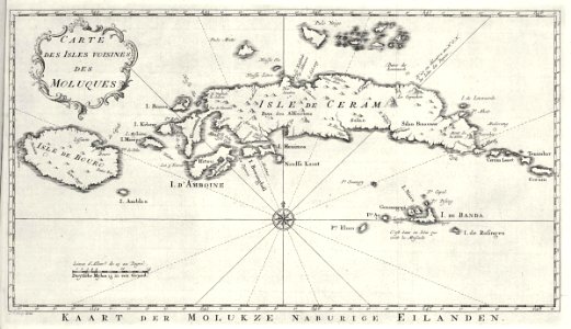
Map of Ceram, Ambon and the Banda islands, Jakob van der Schley, circa 1753
Map of ceram, ambon and the banda islands. Kaart der molukze naburige eilanden / carte des isles voisines des moluques. Date: circa 1753. Dimensions: height: 26 cm (10.2 in); width: 15 cm (5.9 in). Medium: engraving on paper. Collection: Koninklijke Bibliotheek. AMH-7993-KB Map of Ceram, Ambon and the Banda islands