Log in
All resources
Create a design
27,441 Free Images of Maps
gemeente atlas van nederland - south holland
1860s maps of south holland
eran laor cartographic collection
maps from university of amsterdam special collections
atlas der neederlanden
copperplate print
special collections of the university of amsterdam
bibliothèque nationale de france
paper
africa in the 1890s
gemeente atlas van nederland - south holland
1860s maps of south holland
gemeente atlas van nederland - south holland
1860s maps of south holland
19th-century maps of tibet
details of old maps
propaganda map
1529 maps
propaganda map
1529 maps
synopsis universae philologiae
1746 maps of africa
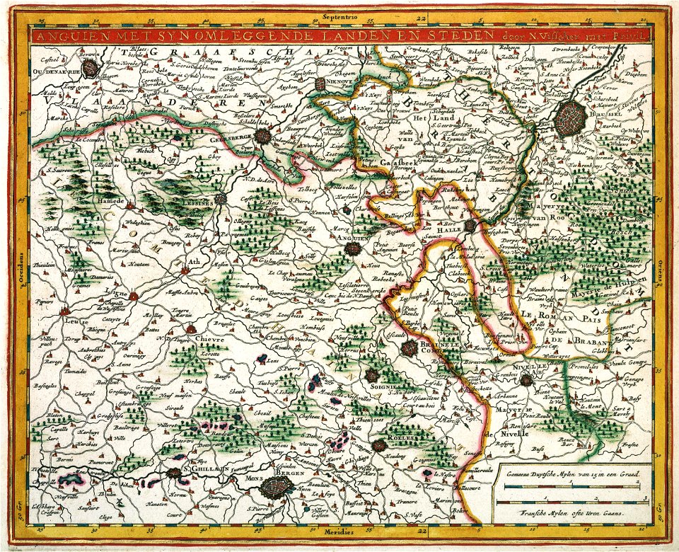
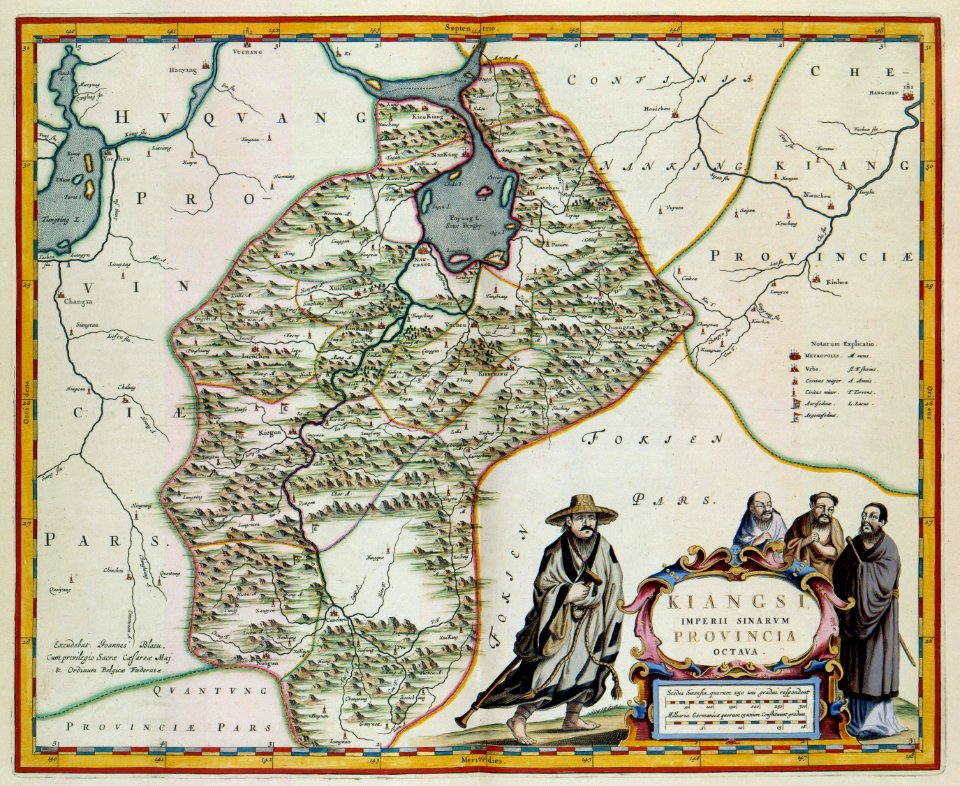
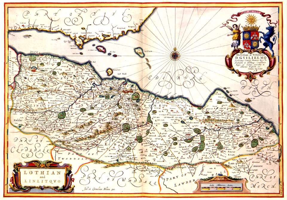
maps by willem and johannes blaeu
old maps of the danube
1747 persia map by emanuel bowen
1740s maps of georgia
maps of bilbao by braun & hogenberg
eran laor cartographic collection
maps from the earth and its inhabitants, vol. xiii
africa in the 1890s
maps from the earth and its inhabitants, vol. xi
africa in the 1890s
maps by daniel lizars
1820 maps of asia
maps made in the 17th century
old county maps of cornwall
maps of ischia by mario cartaro
old maps of procida
eran laor cartographic collection
pierre françois tardieu
eran laor cartographic collection
pierre mortier
atlas van der hagen (volume 2)
atlas van der hagen
atlas van der hagen (volume 4)
atlas van der hagen
1665 maps of ukraine
1665 maps
maps of amsterdam in the rijksmuseum amsterdam
map of amsterdam, 1544
glaciers and glaciation (1910)
maps of glaciers of alaska
maps in the library of congress
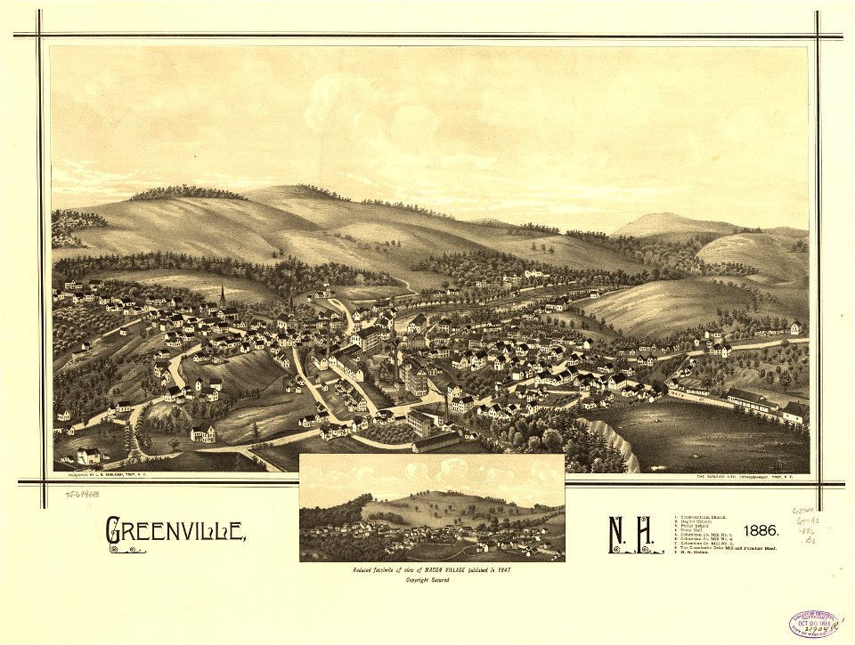
1886 maps of new hampshire
maps of europe by mercator-hondius
ateliers bmb mercator
maps of the caribbean by mercator-hondius
details of old maps
johann friedrich walther
1738 in berlin-mitte
gemeente atlas van nederland - south holland
maps of geervliet
r. hausermann, carte de la terre sainte, 1914
eran laor cartographic collection
r. hausermann, carte de la terre sainte, 1914
eran laor cartographic collection
r. hausermann, carte de la terre sainte, 1914
eran laor cartographic collection
maps of duisburg by braun & hogenberg
maps of emmerich by braun & hogenberg
lawrence h. slaughter collection of english maps, charts, globes, books and atlases
nypl lionel pincus and princess firyal map division
lawrence h. slaughter collection of english maps, charts, globes, books and atlases
covens en mortier
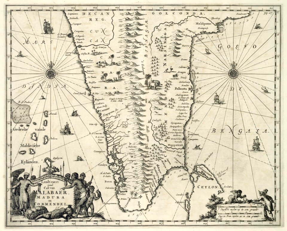
maps of the dutch east india company - india
1682
atlas van der hagen (volume 2)
atlas van der hagen
1800 maps of the atlantic ocean
1800s maps of the americas
maps of ancient italy by philipp clüver
maps of ancient sicily
17th-century maps of the british isles
maps by abraham ortelius
print room of the university of antwerp
plattegrond van antwerpen
drawings in the museu antônio parreiras
colored pencil
maps from the mechanical curator collection available to georeference
maps from the mechanical curator collection
maps by alain manesson-mallet
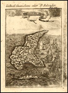
guanahani
hofgartentor (würzburg)
maps of baroque gardens
trouvelot (martian crater)
mars topography
coats of arms on maps
ships on maps
matteo pagano della fede
knin
gemeente atlas van nederland - south holland
1860s maps of south holland
algeria in the 1880s
old maps of algeria
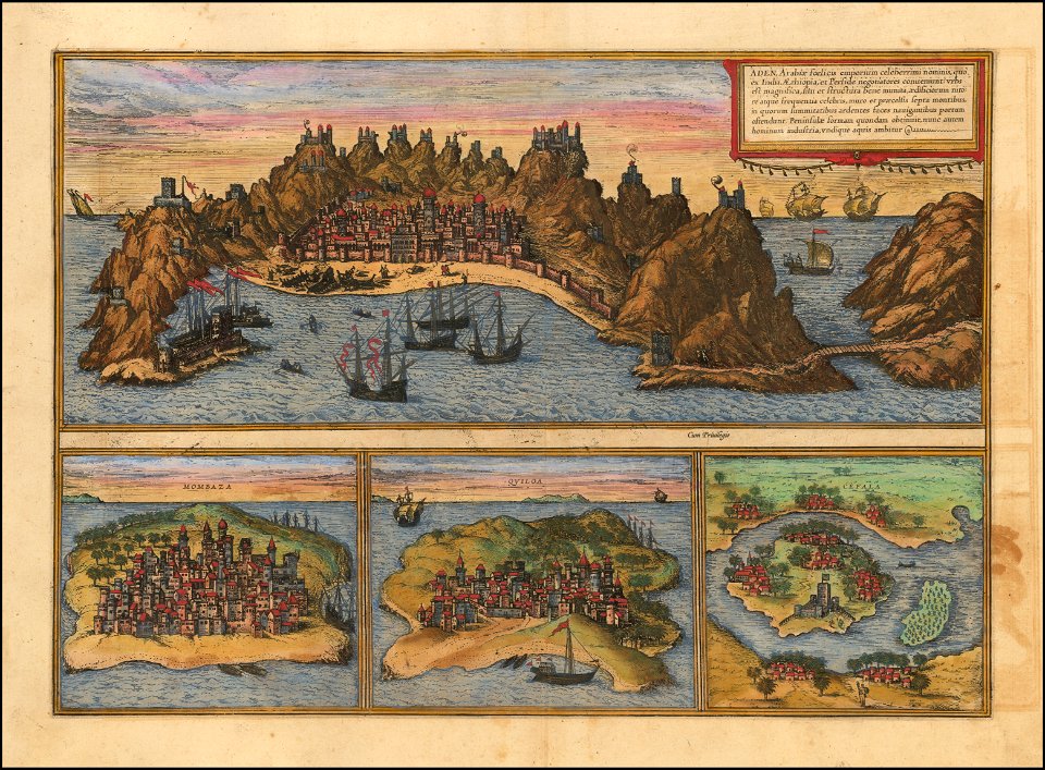
maps of mombasa by braun & hogenberg
maps of aden by braun & hogenberg
gemeente atlas van nederland - south holland
19th-century maps of rotterdam
gemeente atlas van nederland - south holland
19th-century maps of rotterdam
1550s maps of the iberian peninsula
1550s maps of france
gemeente atlas van nederland - north holland
old maps of alkmaar
18th-century maps of amsterdam
daniel de la feuille
catalan atlas
mansa musa
old maps of china in harvard map collection
1749 maps of asia
maps in the library of congress
maps of adams county, illinois
victor levasseur - maps of the world
french algeria
fine prints in the library of congress
aestheticism
drawings in the museu antônio parreiras
colored pencil
drawings in the museu antônio parreiras
colored pencil
maps by thomas kitchin
1782 maps of africa
guide joanne normandie-1912
1912 maps of france
maps from university of amsterdam special collections
atlas der neederlanden
maps from university of amsterdam special collections
atlas der neederlanden
maps from university of amsterdam special collections
atlas der neederlanden
maps from university of amsterdam special collections
atlas der neederlanden
16th-century maps of amsterdam
maps by jacob van deventer
maps from university of amsterdam special collections
atlas der neederlanden
maps from university of amsterdam special collections
atlas der neederlanden
ambroise tardieu
j. p. besançon
1646-1680 middelsexiae cum hertfordiae comitatu
maps by gerard valck
maps from the earth and its inhabitants, vol. vi
maps of samarkand
maps of oceania and maritime southeast asia
maps of australasia
merian plan of paris
baroque
1858 van de velde maps of palestine and jerusalem
1850s maps of jerusalem
gemeente atlas van nederland - south holland
19th-century maps of rotterdam
maps of st kilda
norman heathcote
1600s maps of mecklenburg-vorpommern
maps of rügen by eilhard lubinus
1680s maps of grand duchy of lithuania
guillaume le vasseur de beauplan
old maps of middelburg, zeeland
atlas van loon
maps of lidingö
1774 in sweden
gemeente atlas van nederland - south holland
1860s maps of south holland
gemeente atlas van nederland - north holland
maps of bergen, north holland
gemeente atlas van nederland - south holland
1860s maps of south holland
media from regionaal archief alkmaar
old maps of koedijk
de nieuwe en onbekende weereld
1671 illustrations
juan de la cruz cano y olmedilla
maps by tomas lopez
juan de la cruz cano y olmedilla
maps by tomas lopez
maps by willem and johannes blaeu
copper engravings
maps from the earth and its inhabitants, vol. xii
africa in the 1890s
maps from the earth and its inhabitants, vol. xi
africa in the 1890s
portolan charts by willem and johannes blaeu
old maps of holland
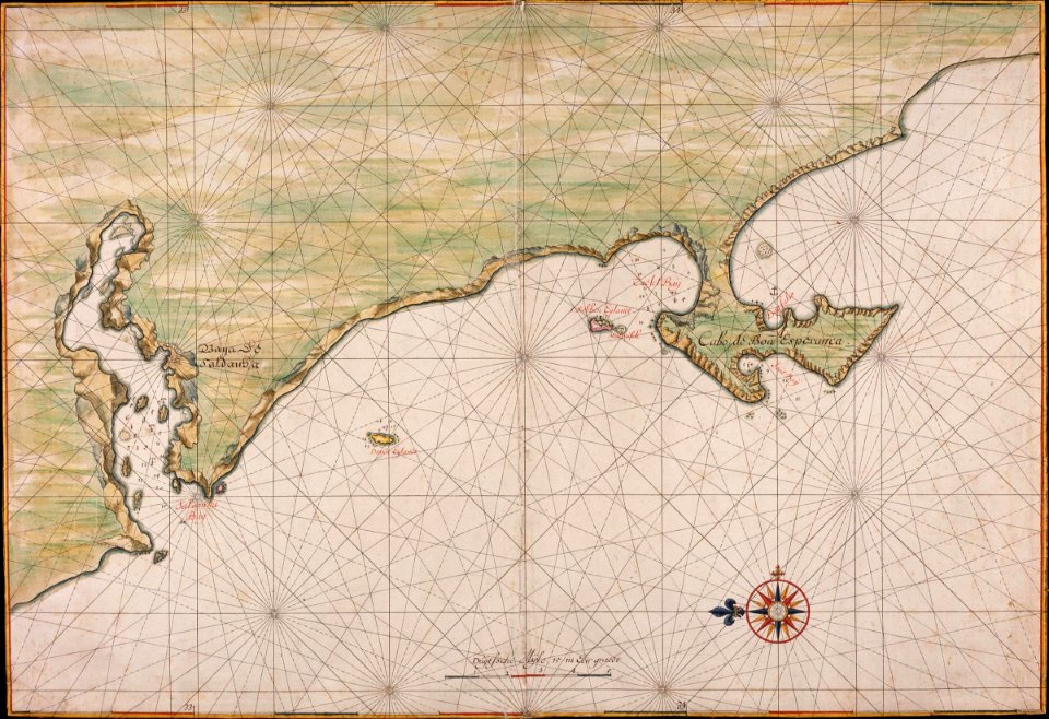
maps of the dutch east india company - south africa
1665
maps in the british museum
jan claesz ten hoorn
maps from the mechanical curator collection available to georeference
maps from the mechanical curator collection
17th-century maps of southeast asia
description de l'universe
maps of the kingdom of kongo
maps by jodocus hondius
1636 maps of asia
baroque
miniature speed atlas (1627) pieter van den keere
county maps of england by john speed
recueil d'antiquités égyptiennes, étrusques, greques et romaines (1752)
18th-century maps of paris
3701 - 3800 of 27,441
Next page
/ 275