Log in
All resources
Create a design
8 Free Artworks of 17th Century Maps Of The British Isles
british library
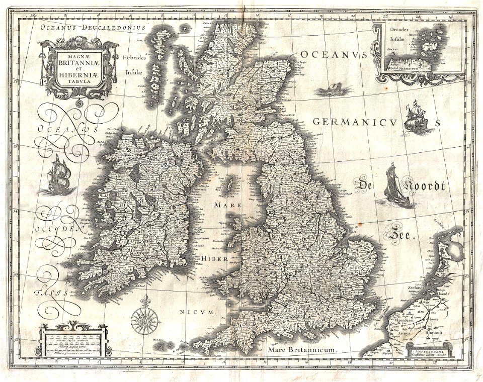
copper engraving print
atlas maior, vol 5 (england) - joan blaeu, 1667 - bl 114.h(star).5
joan blaeu
bibliothèque nationale de france
17th-century maps of the strait of magellan
maps by nicolas sanson
17th-century maps of the british isles
maps by willem and johannes blaeu
tresor des cartes geographiques (1659)
17th-century maps of the british isles
17th-century maps of the british isles
maps by abraham ortelius
atlas maior, vol 5 (england) - joan blaeu, 1667 - bl 114.h(star).5
17th-century maps of the isle of wight
atlas maior, vol 5 (england) - joan blaeu, 1667 - bl 114.h(star).5
17th-century maps of the isle of man
atlas maior, vol 5 (england) - joan blaeu, 1667 - bl 114.h(star).5
17th-century maps of the british isles
atlas van der hagen (volume 2)
atlas van der hagen
1 - 8 of 8
/ 1