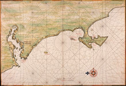
Title in the leupe catalogue (na): kaart van de saldanhabaai, tafelbaai, houtbaai en baai fals. Met loodingen. Particulars: the map forms part of the vingboons atlas. According to a note in the catalogue "inventaris der verzameling kaarten beristende in het algemeen rijksarchief", ["inventory of the collection of maps residing in the state archives"], first supplement, the hague, 1914, the map corresponds to that contained in valentijn, v, part 2, p. 4. Cf. Österreichische nationalbibliothek, vienna, inv. Nr. Van der hem 35:46 and british library, london, inv. Nr. Add. 34. 184-5. Date: circa 1665. Dimensions: height: 69 cm (27.1 in); width: 47.5 cm (18.7 in). Medium: coloured drawing on paper. Collection: Nationaal Archief. AMH-5625-NA Map of Saldanha Bay, Table Bay, Hout Bay and False Bay
Loading...