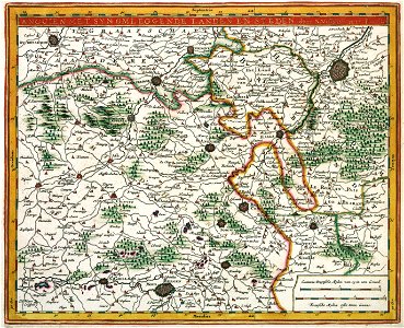
ANGUIEN WITH ITS SURROUNDING COUNTRIES AND CITIES, Romeyn de Hooghe, circa 1685
The print shows a general plan of the pleasure gardens of enghien near brussels and their surroundings. The plan is part of a series of prints commissioned by nicolaes visscher ii (1649-1702) and engraved by romeyn de hooghe (1645-1708). The map was meant to guide visitors of the famous pleasure gardens of enghien located south of brussels, the proud property of the princes of darenberg. Object Type: map. Date: circa 1685. Place of creation: Amsterdam. Dimensions: 22,5 x 28 cm. Medium: copper engraving print. Collection: Koninklijke Bibliotheek. Atlas Van der Hagen-KW1049B11 075 2-ANGUIEN MET SYN OMLEGGENDE LANDEN EN STEDEN