Log in
All resources
Create a design
214 Free Artworks of Old Maps Of The Americas
old maps of north america
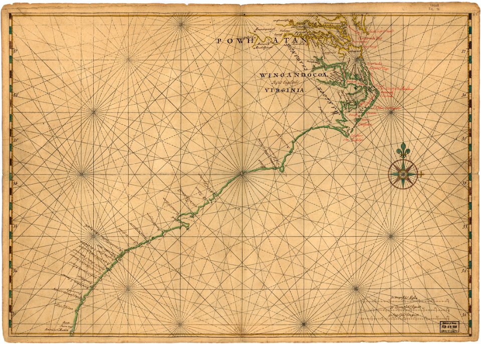
maps in the library of congress
vintage maps
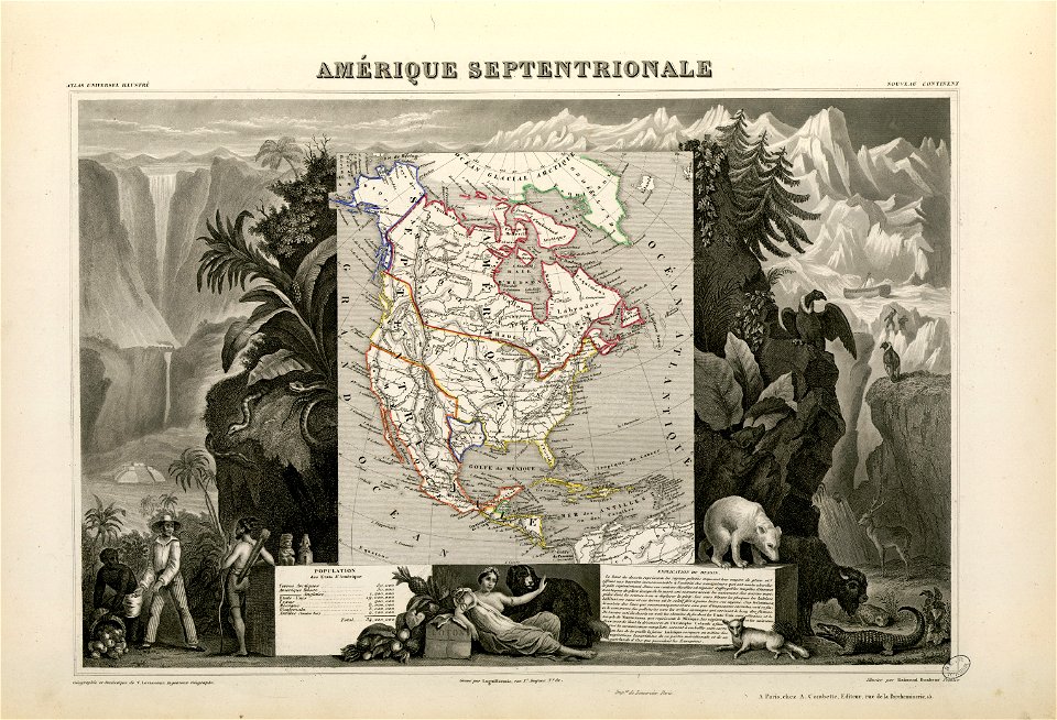
1855 maps
old maps of canada from the norman b. leventhal map center
old maps of the united states from the norman b. leventhal map center
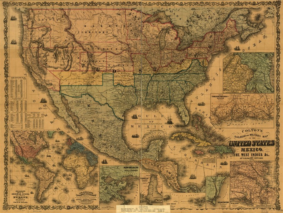
maps by joseph hutchins colton
prints from bonne atlas de toutes les parties at the peace palace library
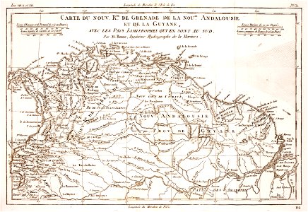
old maps of french guiana
old maps of suriname
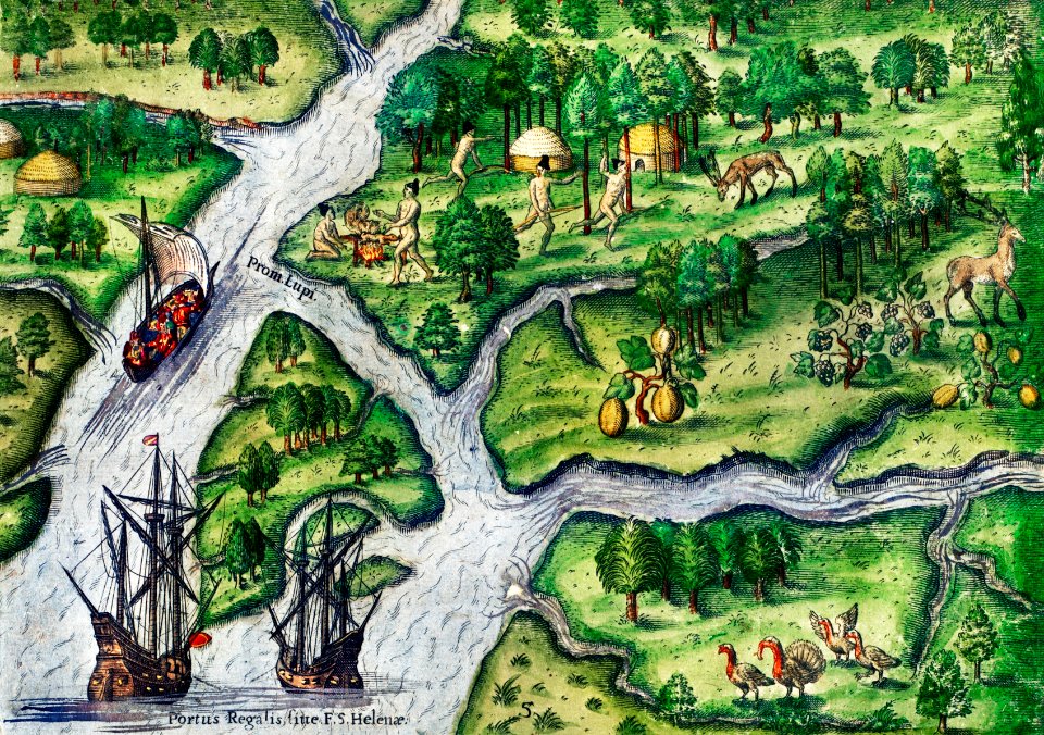
the discovery of guiana
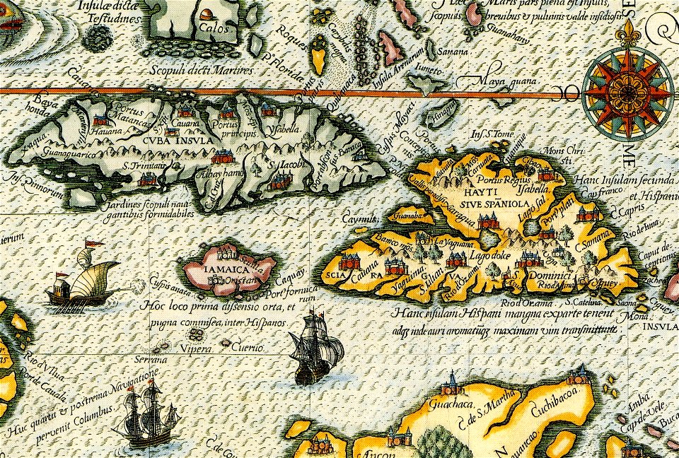
theodor de bry
17th-century maps of south america
old maps of panama
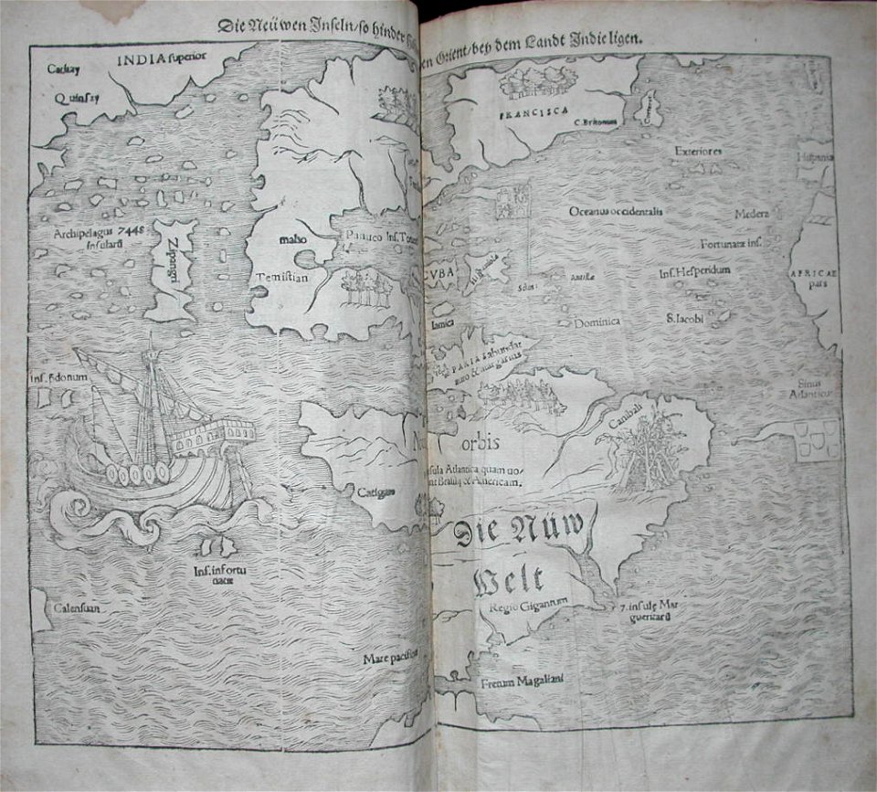
maps by sebastian münster
old maps of the americas
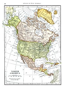
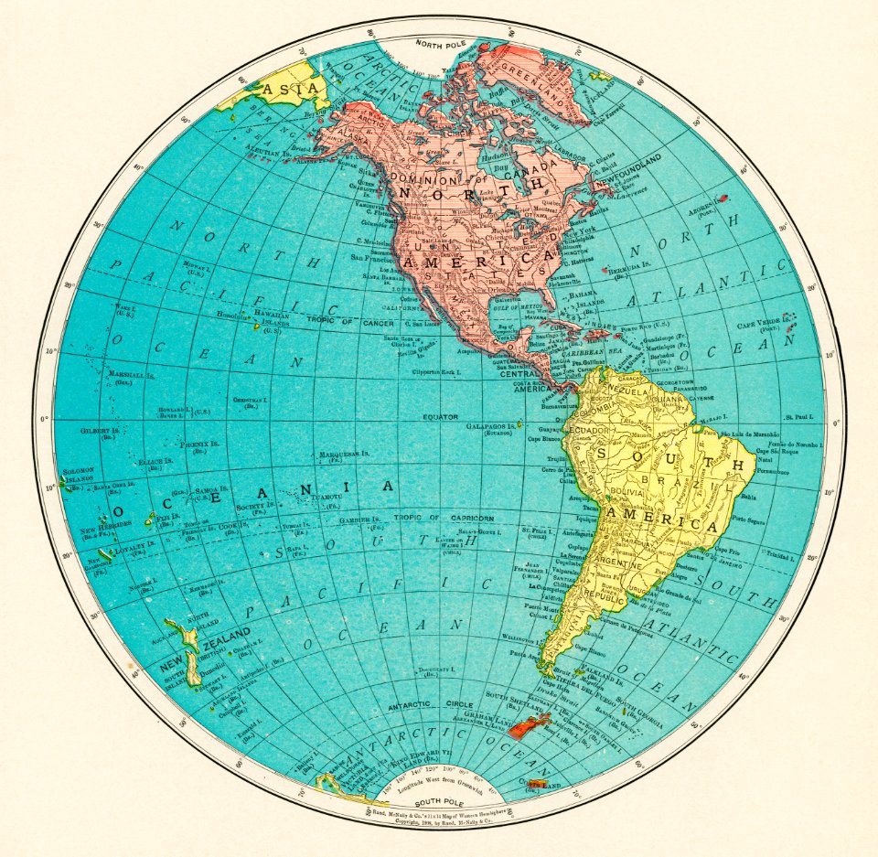
1909 maps of north america
old maps of north america
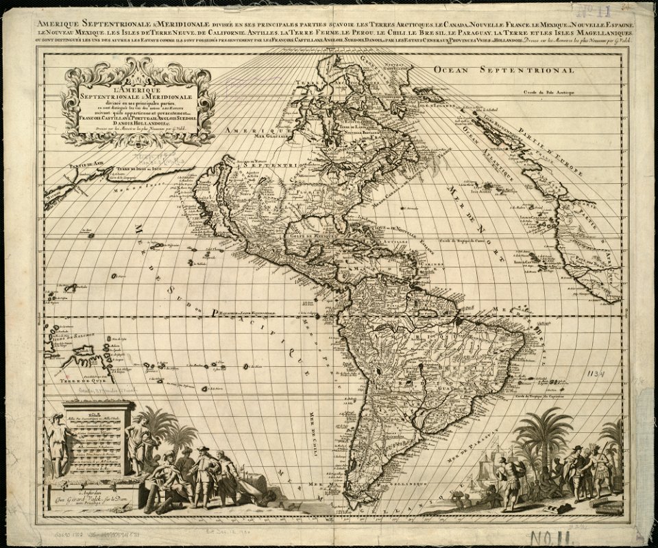
18th-century maps of the americas
maps by homannsche erben
old maps of north america
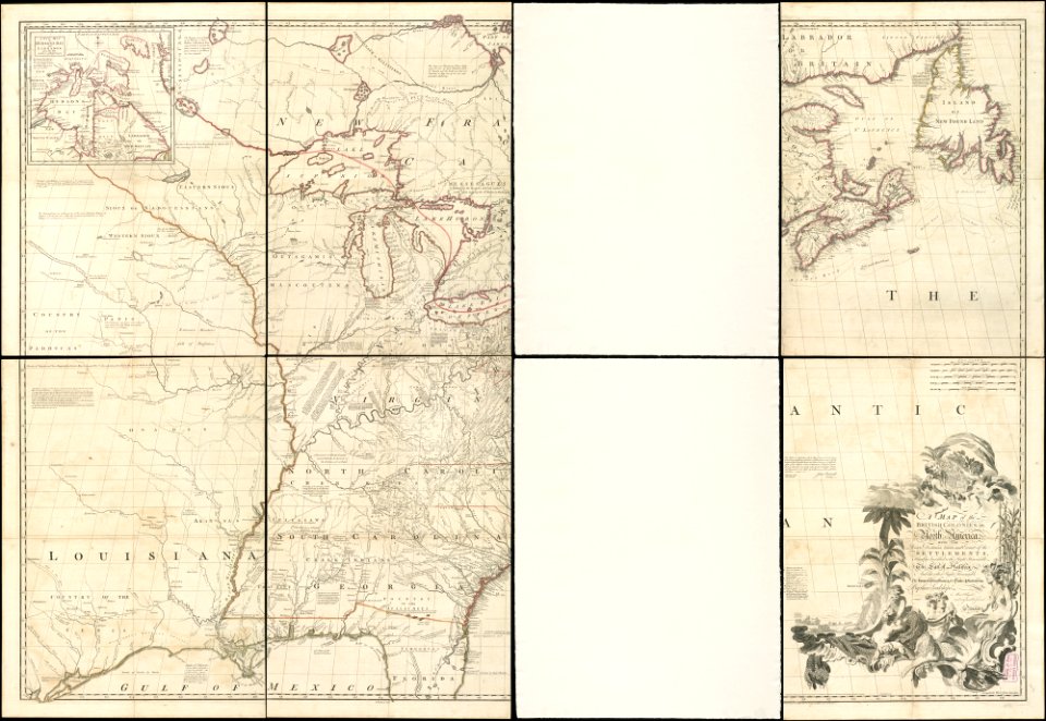
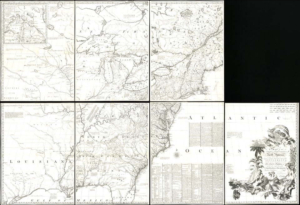
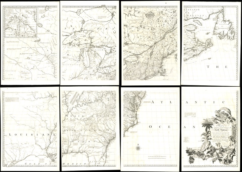
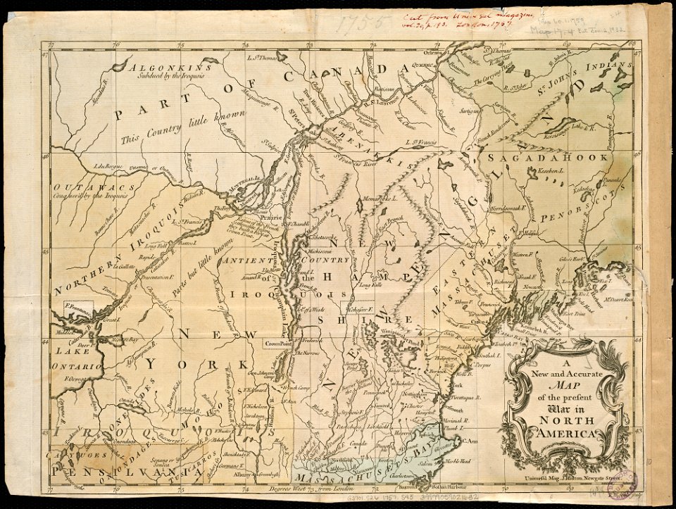
1755 mitchell map
old maps of north america
1755 mitchell map
old maps of north america
1755 mitchell map
16th-century maps of the americas
maps by martin waldseemüller
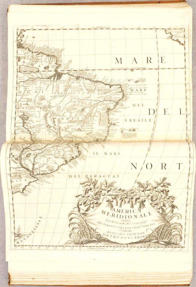
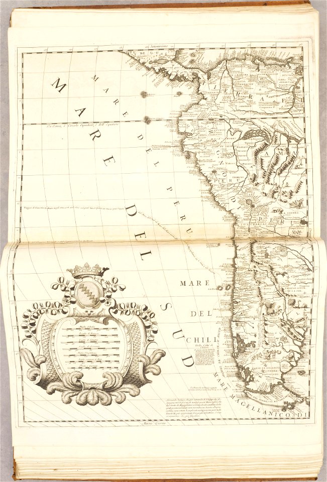
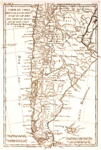
old maps of south america
1909
vintage
maps
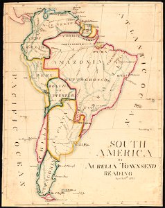
aurelia townsend herrick
1831 maps
old maps of the falkland islands
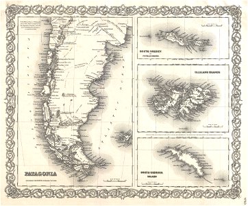
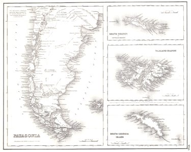
old maps of patagonia
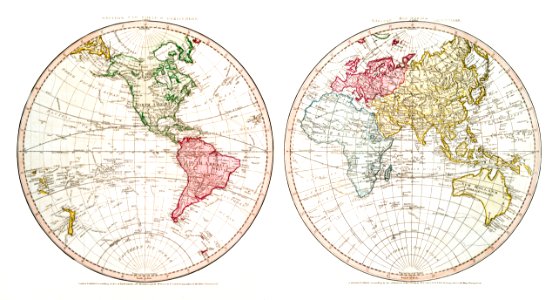
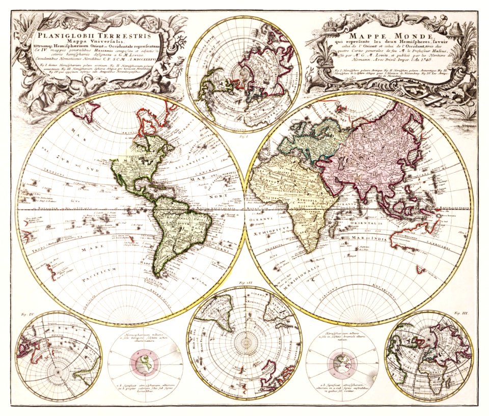
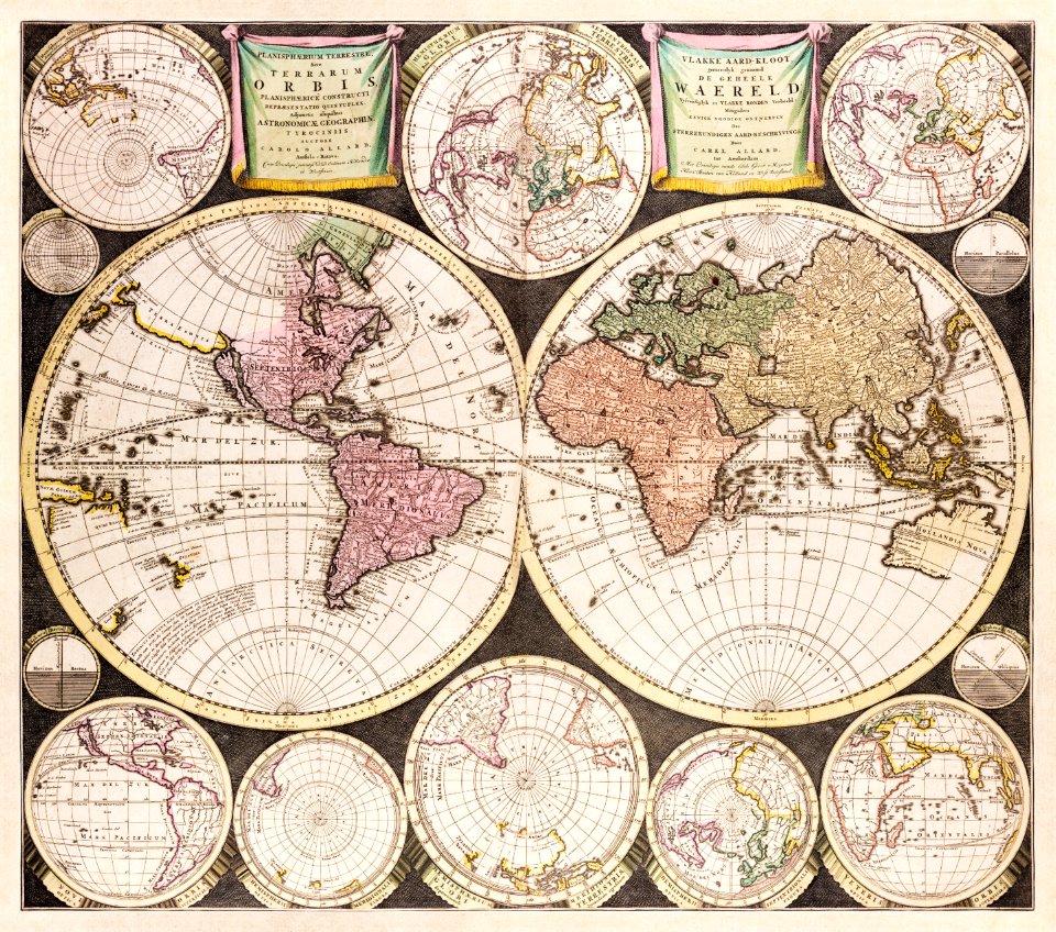
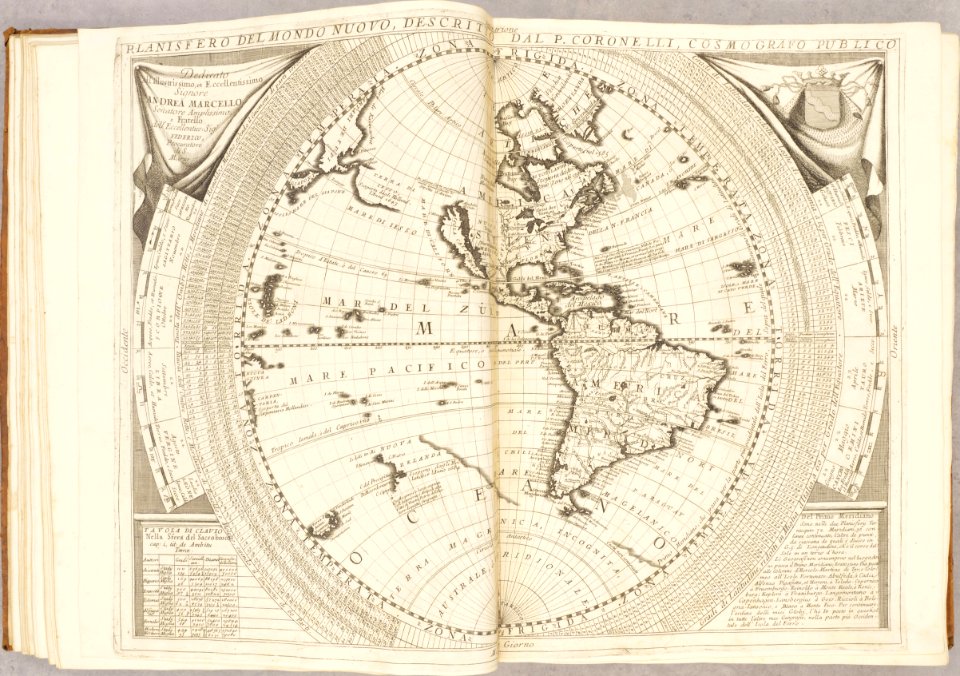
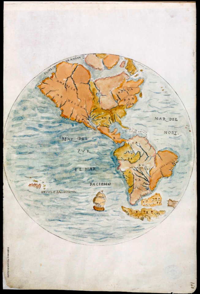
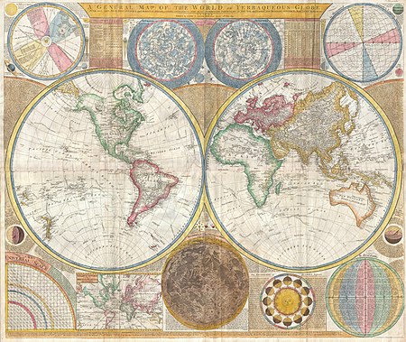
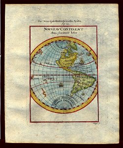
old maps of earth's hemispheres
maps of voyages
old maps of the falkland islands
old maps of patagonia
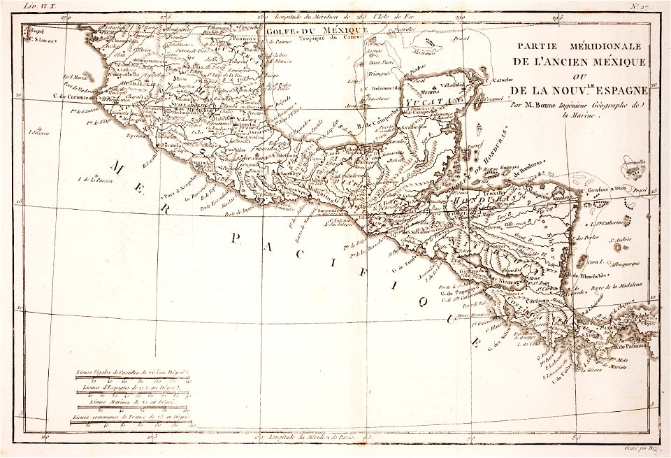
18th-century maps of nicaragua
1780 in central america
illustration
maps
18th-century maps of north america
1794 maps
french-language maps
gerard valck
medieval
maps
australia
maps
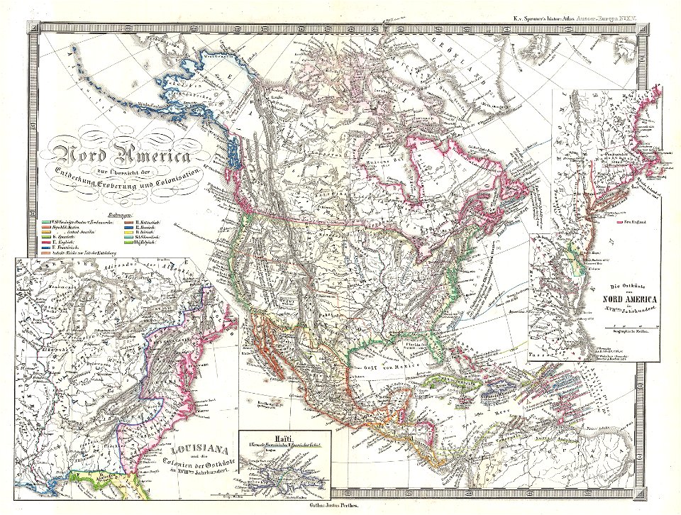
karl spruner von merz
1855 maps
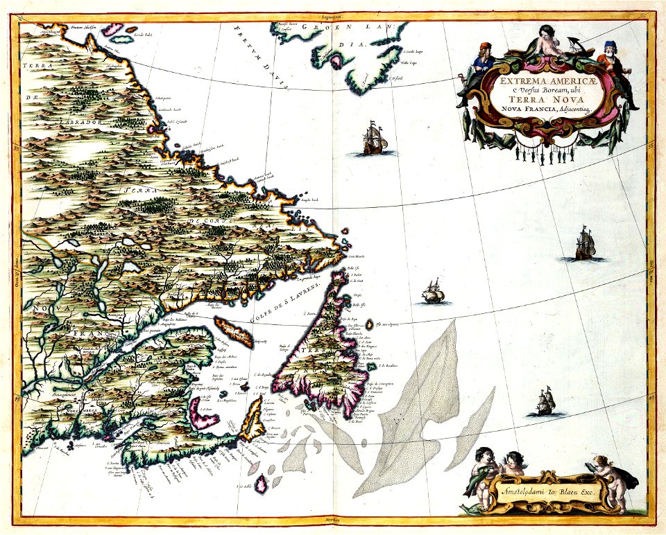
maps by samuel de champlain
old maps of new france
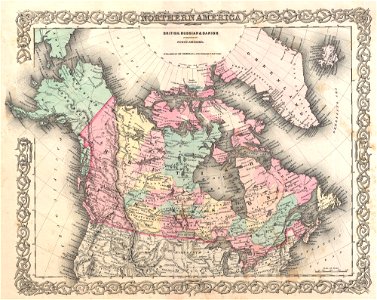
old maps of canada
province of canada
veracruz
florida
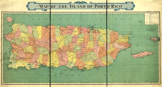
old maps of puerto rico
rand mcnally
illustrations of cosmographia (münster)
old maps of the world
maps in the library of congress
old maps of maryland
maps in the library of congress
old maps of maryland
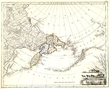
maps of petropavlovsk-kamchatsky
maps of russian america
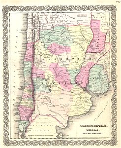
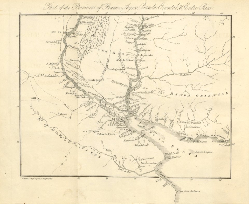
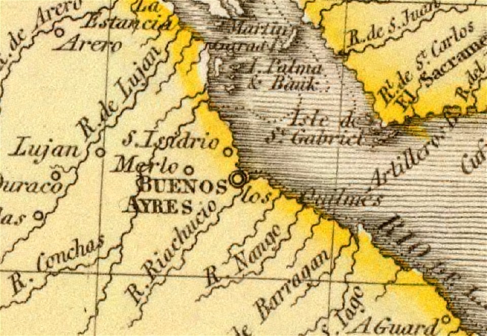
19th-century maps of argentina
old maps of uruguay
old maps of the río de la plata
old maps of uruguay
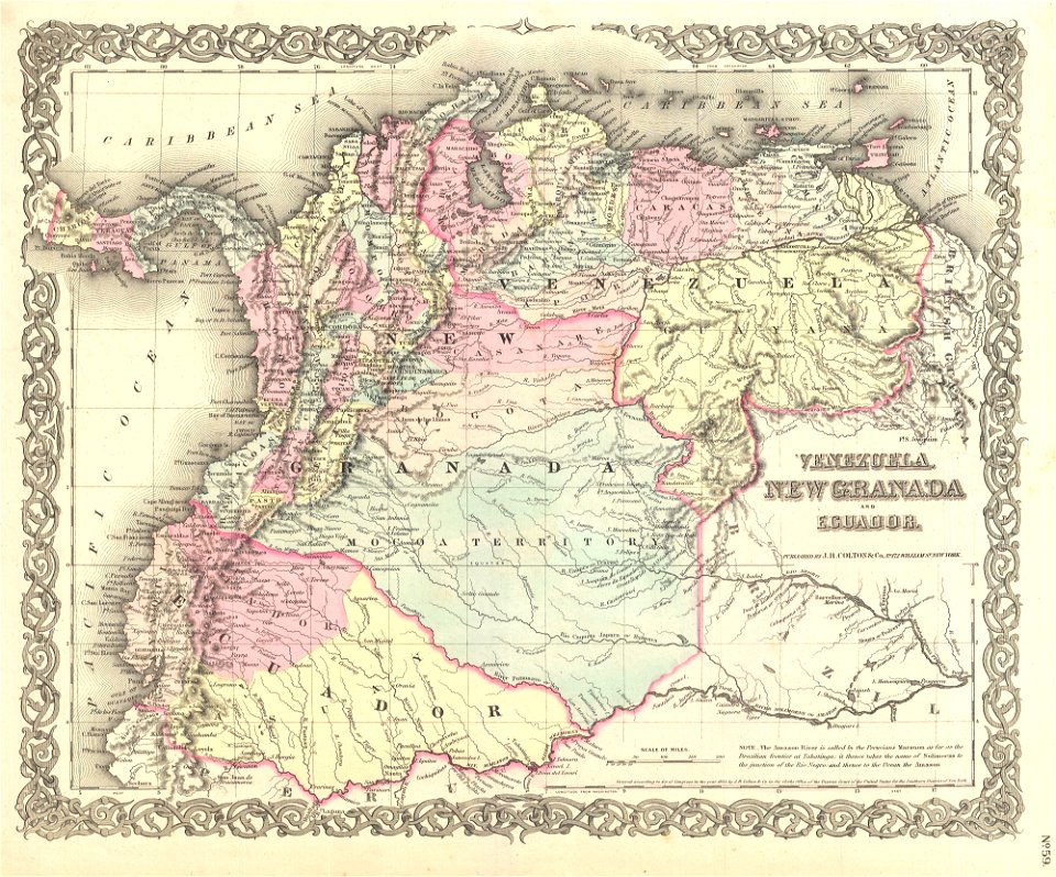
old maps of colombia
theodor de bry
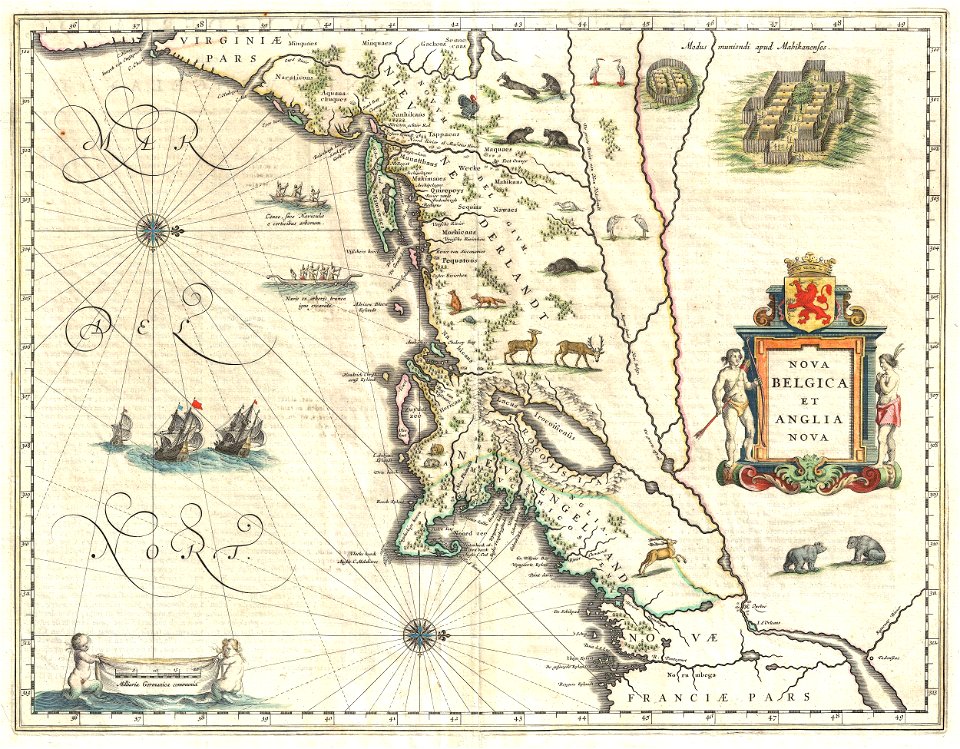
old maps of new york (state)
new york city
old maps of the history of venezuela
1855 maps
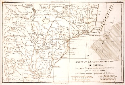
18th-century maps of brazil
1780 in south america
old maps of guatemala
old maps of colombia
world
maps
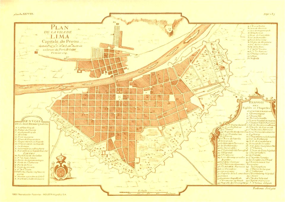
old maps of lima
frézier's travel
popular science monthly illustrations/volume 13
drainage basin maps of north america
maps in the library of congress
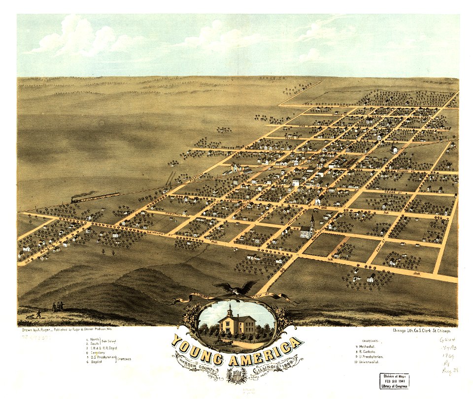
albert ruger
maps in the library of congress
albert ruger
maps in the library of congress
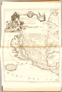
old maps of mexico
australia
maps
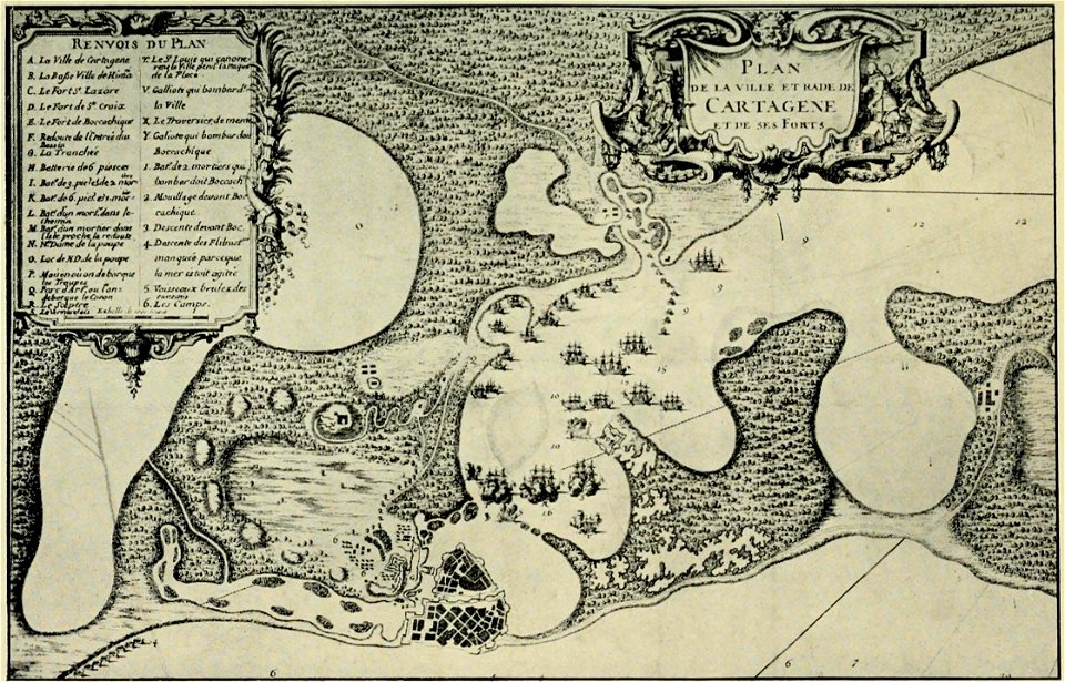
old maps of cartagena
colombia
atlante veneto (raremaps.com) volume 1
old maps of the americas
19th-century maps of the spanish empire
1810s maps of south america
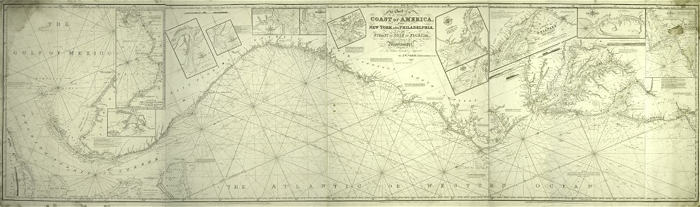
old maps of north america from the norman b. leventhal map center
1755 maps of the united states
atlante veneto (raremaps.com) volume 1
old maps of north america
atlante veneto (raremaps.com) volume 1
old maps of south america
atlante veneto (raremaps.com) volume 1
old maps of south america
old maps of the río de la plata
1812 maps
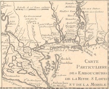
mobile river
alabama
19th-century maps of argentina
1780 in south america
old maps of earth's hemispheres
pictorial maps
old maps of the americas
1552
historical images of arecaceae
old maps of north america
maps with cartouches
old maps of canada
old maps of central america
1880 maps
cornell university library
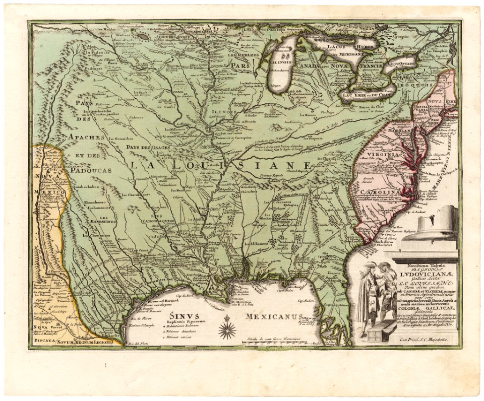
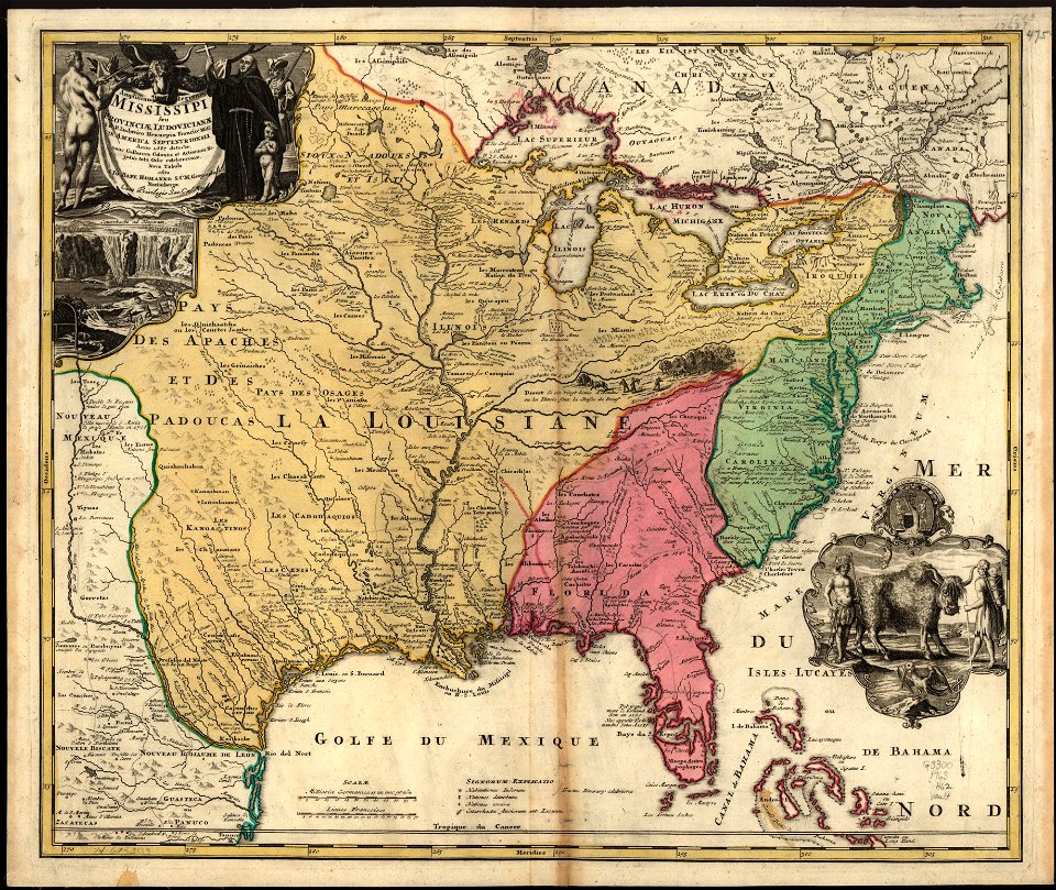
old maps of louisiana
maps in the library of congress
old maps of louisiana
maps in the library of congress
old maps of louisiana
cosmographia - beschreibung aller lender durch sebastianum munsterum (1545)
old maps of the americas
map images supported by wikimedia uk
1856 maps
joão da gama
old map
18th-century maps of brazil
1780 in south america
1780 in south america
1780 maps
cornell university library
abolitionism
old constellation maps
maps by samuel dunn
history of antwerp
renaissance
maps by jacques-nicolas bellin
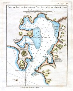
old maps of saint lucia
maps with cartouches
atlas van der hagen
18th-century maps of greenland
greenland in the 18th century
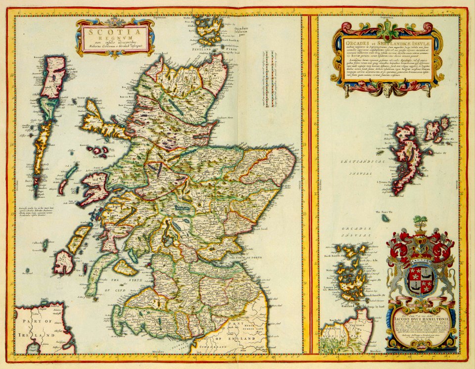
history of scotland
victorian era
1520s maps of the americas
1529 maps
1560s maps of north america
paolo forlani
americae 1562 by diego gutiérrez and hieronymus cock
renaissance
lawrence h. slaughter collection of english maps, charts, globes, books and atlases
maps of nieuw nederland
old maps of the united states
copper engravings
maps of the dutch east india company - australia
old maps of the dutch east india company
1730s maps of south carolina
old maps of north america
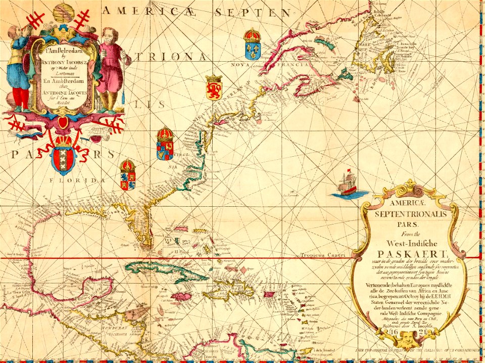
maps of the west-indische compagnie
1758 maps
old maps of the united states
sanson maps of north america
old maps of french guiana
1630s maps of brazil
18th-century maps of north america
1708 maps of north america
robert wallis (engraver)
henry warren
alphabet charts
lord's prayer
maps by willem and johannes blaeu
pantanal
1849 maps of north america
old maps of canada
17th-century maps of the strait of magellan
1635 maps
1620s maps of north america
1620s maps of the caribbean
maps made in the 16th century
johannes ruysch
cartouches by willem and johannes blaeu
dutch-language maps
maps in the rijksmuseum amsterdam
published by frans buffa & zonen
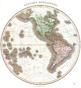
old maps of the western hemisphere
1710s maps of the world
1780s maps of florida
maps of florida
1850s maps of the americas
maps by john tallis
old maps of french guiana
old maps of venezuela
old maps of the united states from the norman b. leventhal map center
old maps of canada from the norman b. leventhal map center
robert wallis (engraver)
henry warren
1 - 100 of 214
Next page
/ 3