Log in
All resources
Create a design
35 Free Artworks of 18th Century Maps Of North America
maps in the library of congress
maps by tomas lopez
latin-language maps
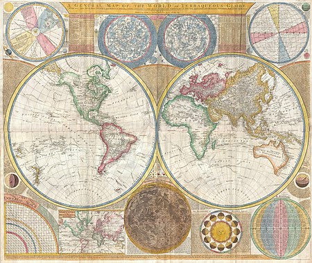
18th-century double hemisphere world maps
french-language maps of north america
maps by louis brion de la tour
louis brion de la tour
considérations géographiques et physiques sur les nouvelles découvertes au nord de la grande mer
bibliothèque nationale de france
philippe buache
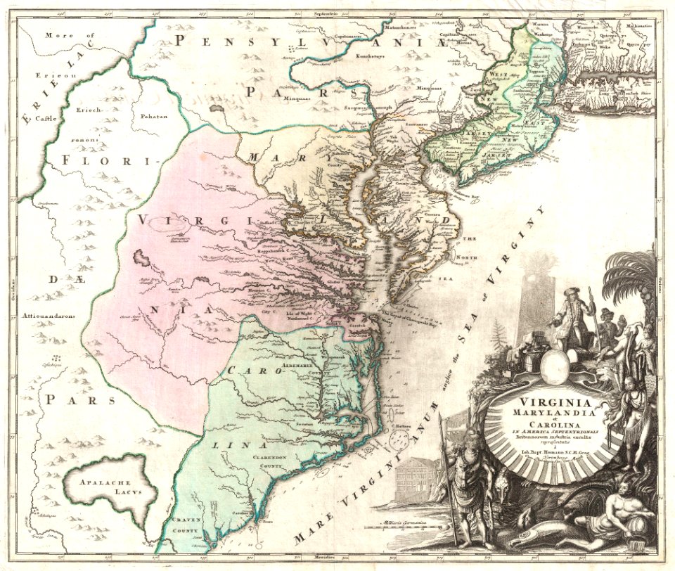
18th-century maps of north carolina
north carolina
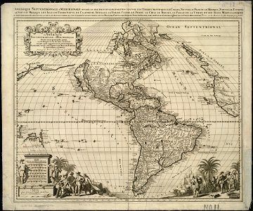
18th-century maps of the americas
maps by homannsche erben
18th-century maps of north america
1794 maps
maps by jacques-nicolas bellin
jacques-nicolas bellin
french-language maps
gerard valck
1805 maps of the united states
maps by john cary
collections of the musée national des beaux-arts du québec
18th-century maps of north america
old constellation maps
maps by samuel dunn
18th-century maps of north america
1708 maps of north america
1780s maps of florida
maps of florida
maps of america by guillaume delisle (18th century)
1760s maps of the americas
1740s maps of the caribbean
daniel de la feuille
considérations géographiques et physiques sur les nouvelles découvertes au nord de la grande mer
1755 maps of north america
maps in the library of congress
old maps of new jersey
1760s maps of the americas
jean janvier
1650s maps of the americas
1658 maps
maps in the library of congress
18th-century maps of martinique
maps in the library of congress
1750s maps of cuba
18th-century maps of new orleans
maps in the library of congress
st. augustine, florida in the 18th century
1783 maps of north america
1770s maps of alaska
robert de vaugondy
french-language maps
1742 maps
maps in the library of congress
18th-century maps of jamaica
considérations géographiques et physiques sur les nouvelles découvertes au nord de la grande mer
1750s maps of the russian empire
maps in the library of congress
1758 maps
maps by louis brion de la tour
1786 maps of north america
considérations géographiques et physiques sur les nouvelles découvertes au nord de la grande mer
isla de los estados
1740s maps of the americas
1747 maps of north america
1779 maps of the united states
1770s maps of the caribbean
mappe-monde geo-hydrographique (sanson and jaillot, 1674)
cartography of france
1740s maps of the world
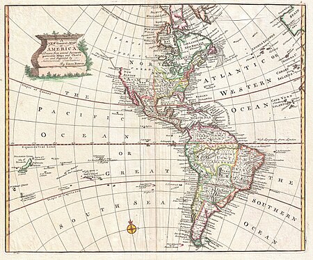
maps by emanuel bowen
18th-century double hemisphere world maps
1730s maps of the world
18th-century double hemisphere world maps
1730s maps of the world
1821 maps of the united states
maps by john cary
portrait paintings by carl fredric von breda
maps of africa in art
1 - 35 of 35
/ 1