Log in
All resources
Create a design
514 Free Artworks of Pictorial Maps
old manuscript maps
spanish-language maps
1632 maps
en especial del descubrimiento del reino de la california
descripciones geográphicas e hydrográphicas de muchas tierras y mares del norte y sur en las indias
maps by nicolás de cardona
watercolor maps
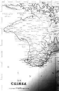
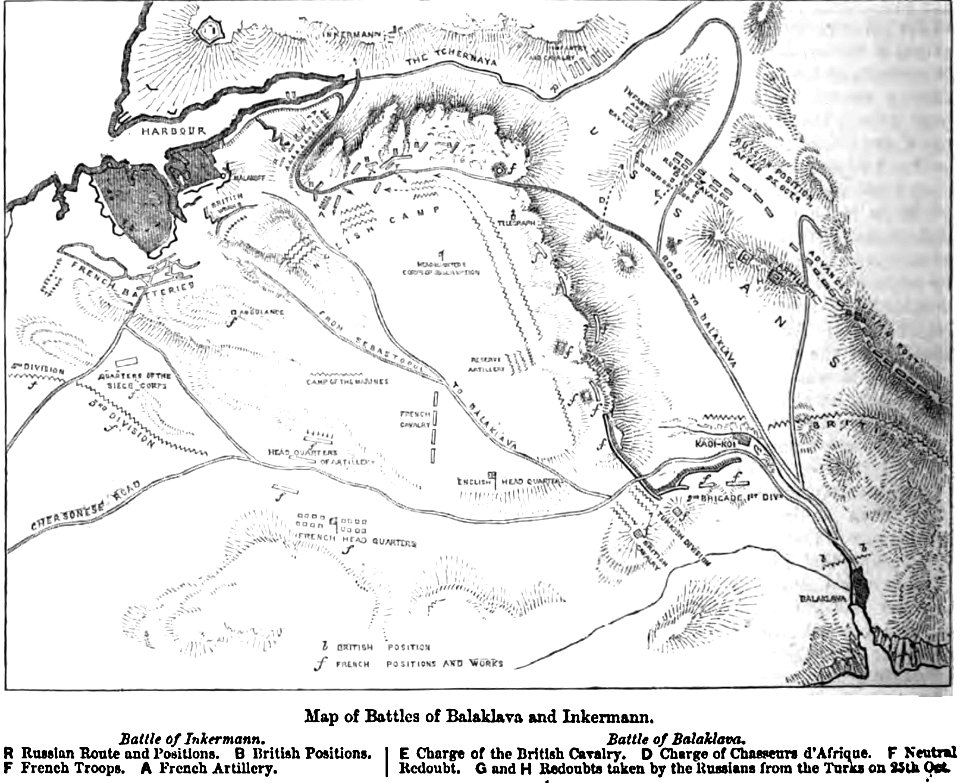
pictorial history of the russian war 1854-5-6 by george dodd
old maps of mexico
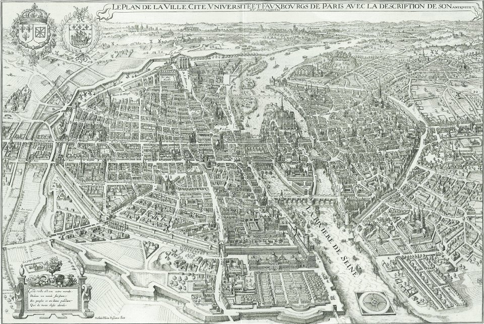
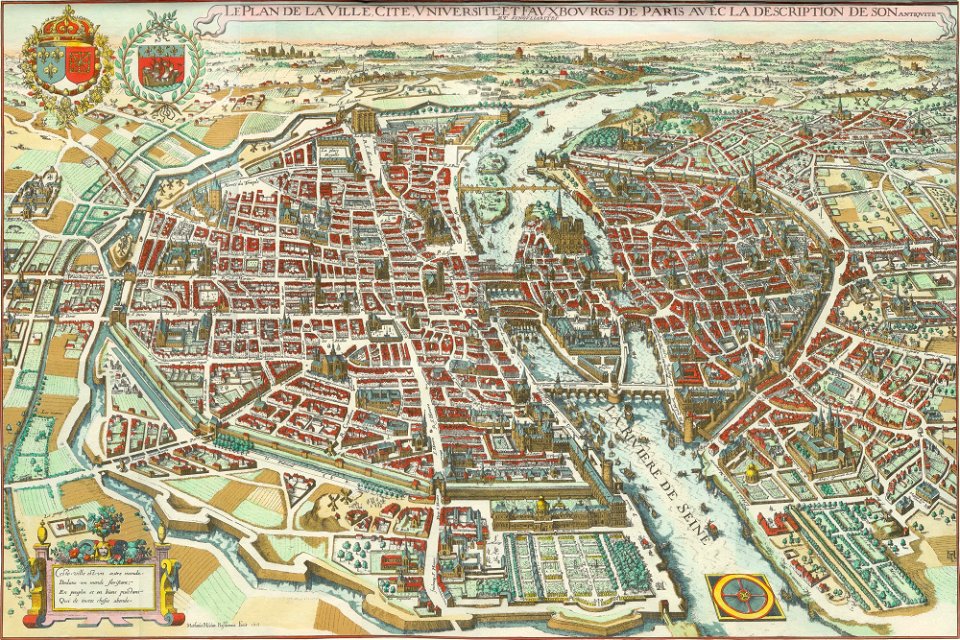
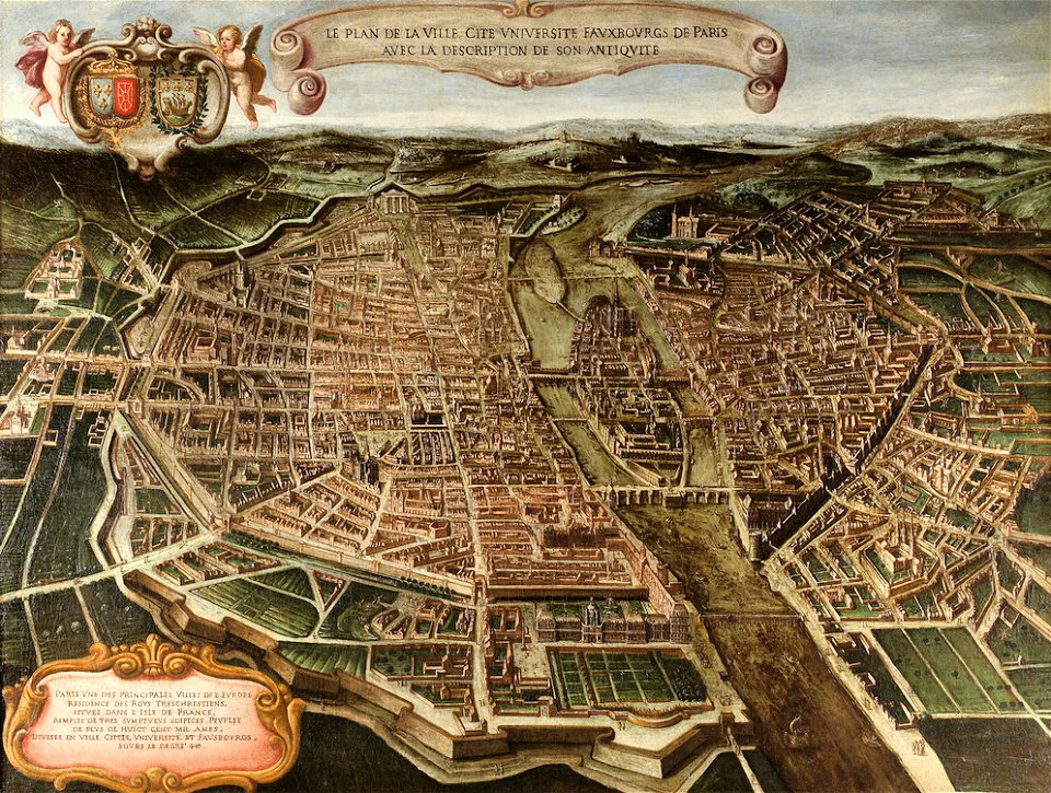
pictorial maps of paris
island of california
image restoration
west-indische compagnie
image restoration
maps of paris from the norman b. leventhal map center
siege of paris, 1870-1871
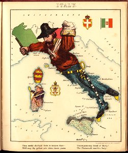
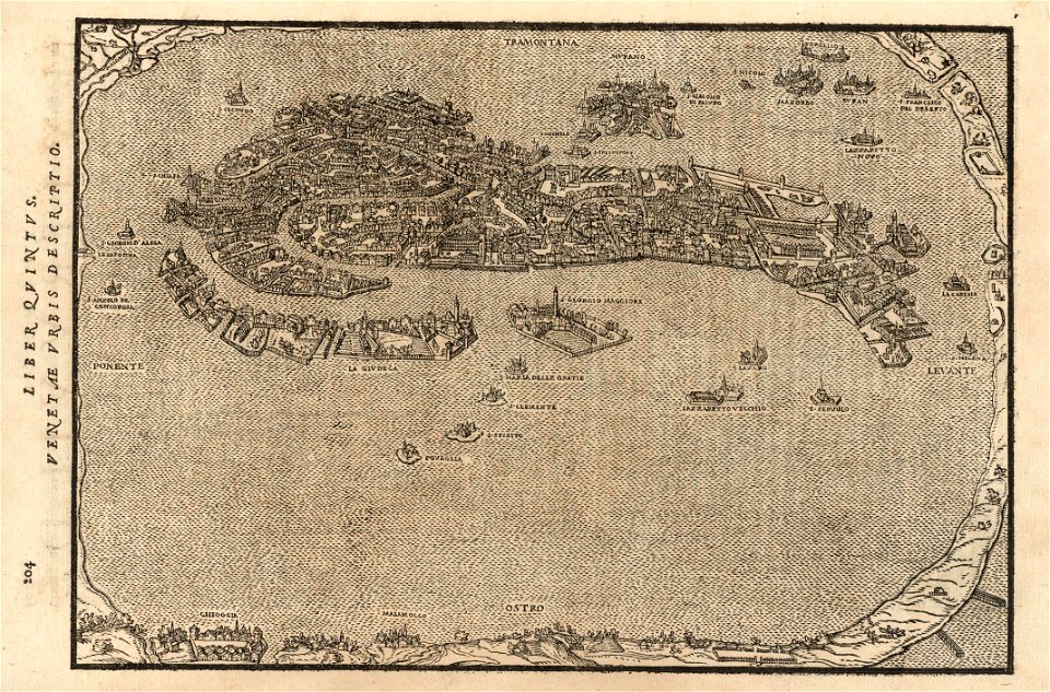
old maps of italy
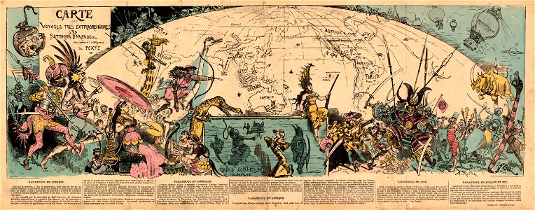
pictorial maps
pictorial history of the russian war 1854-5-6 by george dodd
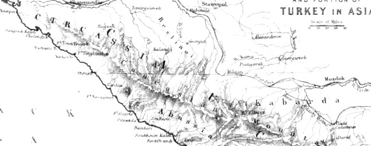
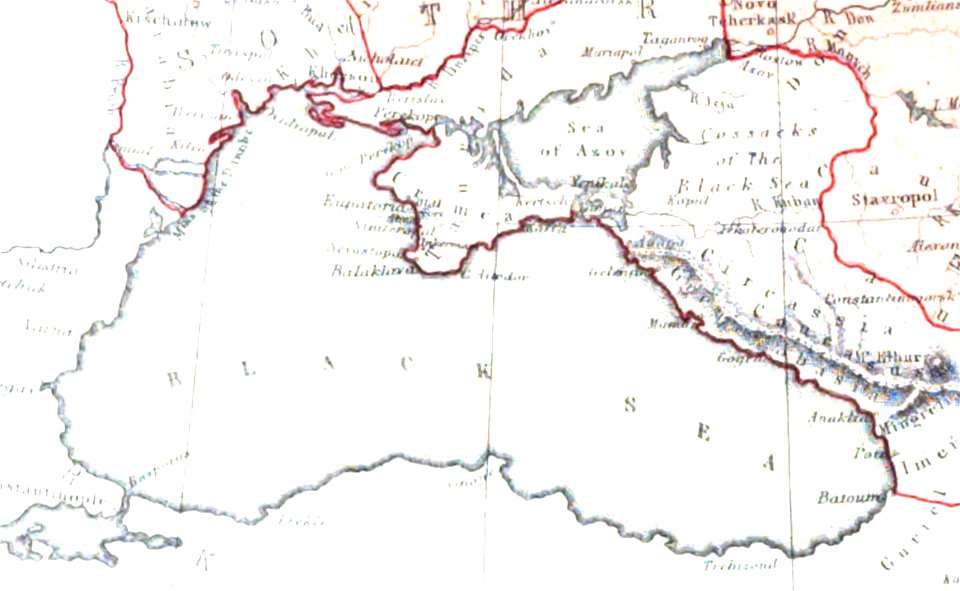
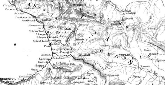
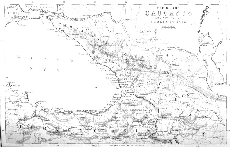
maps of circassia
pictorial history of the russian war 1854-5-6 by george dodd
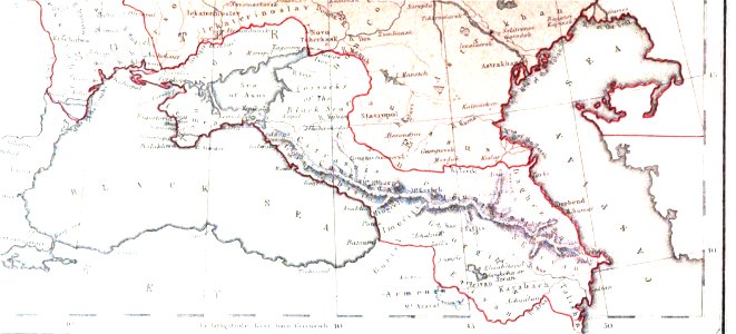
19th-century maps of the caucasus
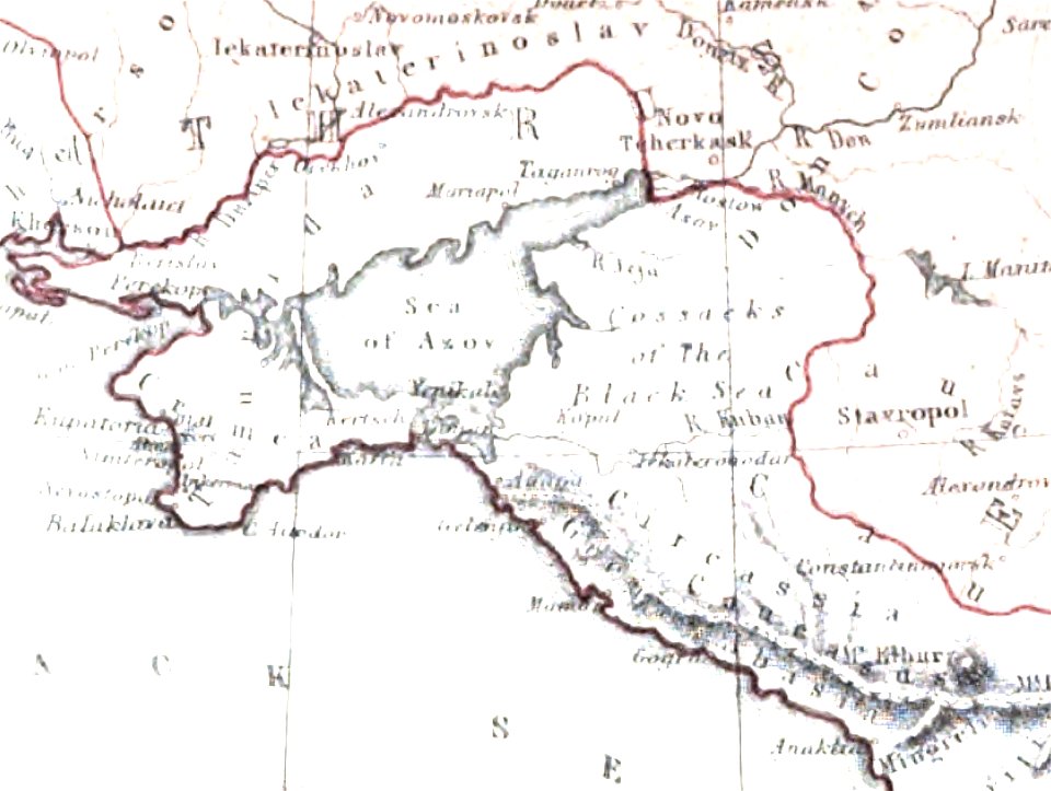
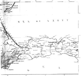
old maps of the sea of azov
maps of circassia
pictorial history of the russian war 1854-5-6 by george dodd
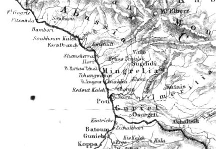
old maps of samegrelo
old maps of crimea
1856 maps
pictorial history of the russian war 1854-5-6 by george dodd
maps of circassia
19th-century maps of the caucasus
1856 maps
maps of battles
1856 maps
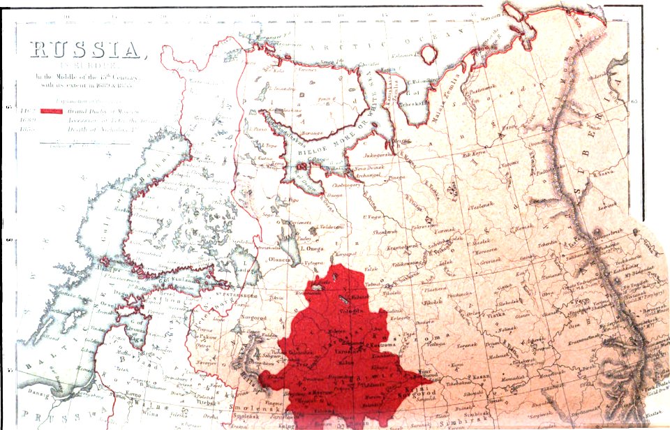
old maps of the russian empire
1856 maps
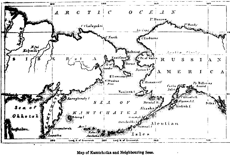
maps of kamchatka
1856 maps
pictorial history of the russian war 1854-5-6 by george dodd
1856 maps of georgia
old maps of the sea of azov
1856 maps
old maps of the sea of azov
1856 maps
19th-century maps of the caucasus
maps of circassia
maps of paris from the barry lawrence ruderman antique maps inc.
bird's eye view maps of paris
pictorial history of the russian war 1854-5-6 by george dodd
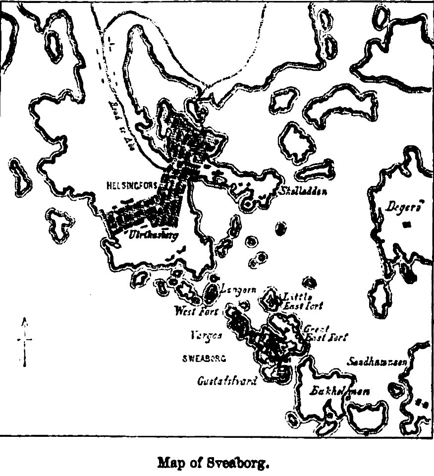
maps of suomenlinna
pictorial history of the russian war 1854-5-6 by george dodd
old maps of armenia
bird's eye view maps of paris
pictorial maps of paris
bird's eye view maps of paris
pictorial maps of paris
frans hogenberg
pictorial maps
pictorial history of the russian war 1854-5-6 by george dodd
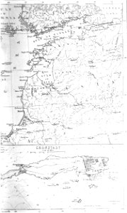
old maps of kronstadt
pictorial history of the russian war 1854-5-6 by george dodd
1856 maps of georgia
bird's eye view maps of paris
pictorial maps of paris
old maps of the sea of azov
1856 maps
pictorial maps
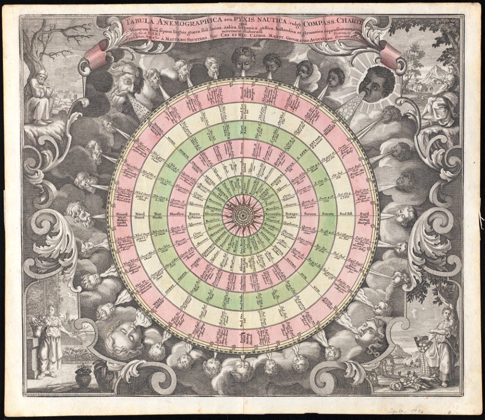
compass rose
bird's eye view maps of paris
pictorial maps of paris
pictorial maps
thüringiae
harvard university
pictorial maps
paintings in musée carnavalet
bird's eye view maps of paris
french-language maps
pictorial maps
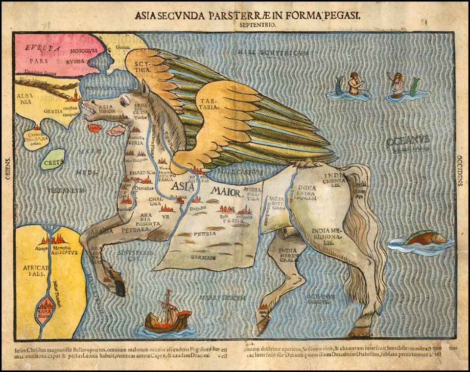
asia secunda pars terrae in forma pegasir
1580s maps of asia
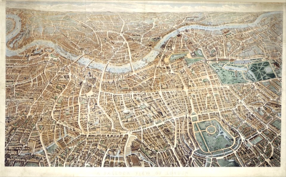
old maps of london
pictorial maps
old maps of mexico
pictorial maps
old maps of mexico
pictorial maps
maps of paris from paris musées
paintings in musée carnavalet
maps of paris from paris musées
paintings in musée carnavalet
maps of isla margarita
pictorial maps
old maps of mexico
pictorial maps
old maps of mexico
pictorial maps
old manuscript maps
pictorial maps
old manuscript maps
pictorial maps
old manuscript maps
pictorial maps
old manuscript maps
pictorial maps
old manuscript maps
pictorial maps
old manuscript maps
pictorial maps
old manuscript maps
pictorial maps
old manuscript maps
pictorial maps
old manuscript maps
pictorial maps
old manuscript maps
pictorial maps
old manuscript maps
pictorial maps
old manuscript maps
pictorial maps
old manuscript maps
pictorial maps
old manuscript maps
pictorial maps
old manuscript maps
pictorial maps
old manuscript maps
pictorial maps
old manuscript maps
pictorial maps
old manuscript maps
pictorial maps
old manuscript maps
pictorial maps
old maps of mexico
pictorial maps
old manuscript maps
pictorial maps
old manuscript maps
pictorial maps
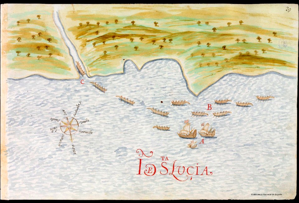
old maps of saint lucia
pictorial maps
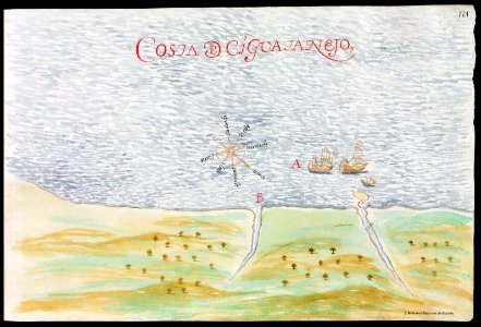
old maps of mexico
pictorial maps
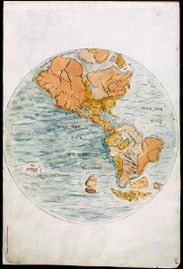
old maps of earth's hemispheres
pictorial maps
pictorial history of the russian war 1854-5-6 by george dodd
pictorial history of the russian war 1854-5-6 by george dodd
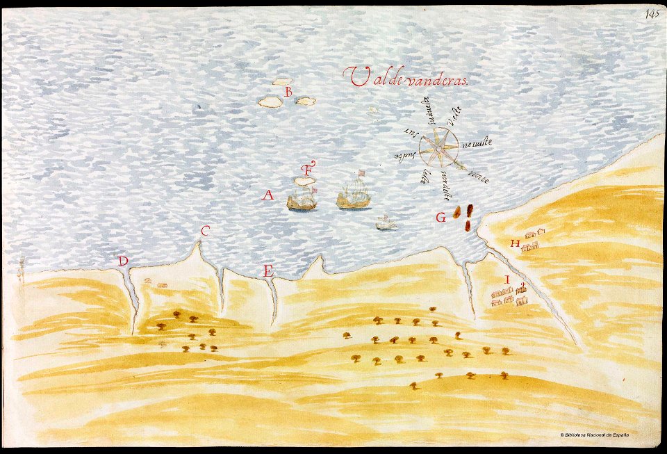
nayarit
chacala
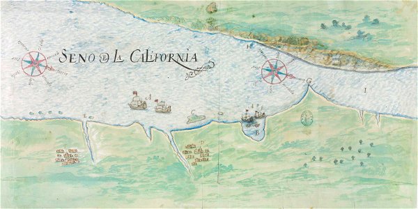
gulf of california
pictorial maps
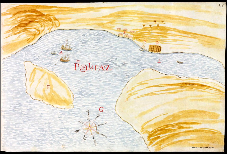
baja california sur
la paz
old manuscript maps
pictorial maps
old manuscript maps
pictorial maps
old maps of mexico
pictorial maps
pictorial history of the russian war 1854-5-6 by george dodd
maps of suomenlinna
pictorial maps
barbados
old manuscript maps
pictorial maps
old maps of mexico
pictorial maps
pictorial history of the russian war 1854-5-6 by george dodd
balkan
pictorial maps
puerto rico
pictorial maps
ships of japan
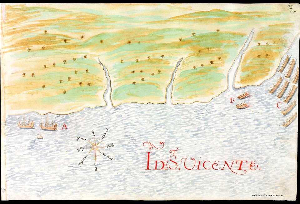
history of saint vincent and the grenadines
pictorial maps
pictorial history of the russian war 1854-5-6 by george dodd
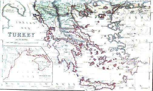
aegean sea
pictorial history of the russian war 1854-5-6 by george dodd
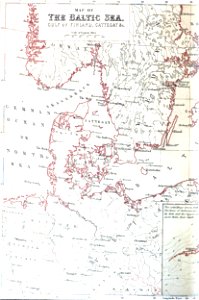
baltic sea
pictorial history of the russian war 1854-5-6 by george dodd
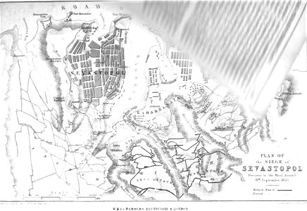
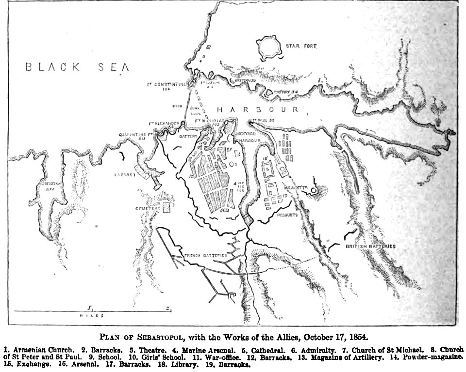
old maps of sevastopol
pictorial history of the russian war 1854-5-6 by george dodd
historical images of kronstadt
pictorial history of the russian war 1854-5-6 by george dodd
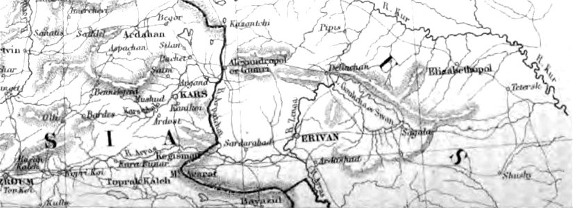
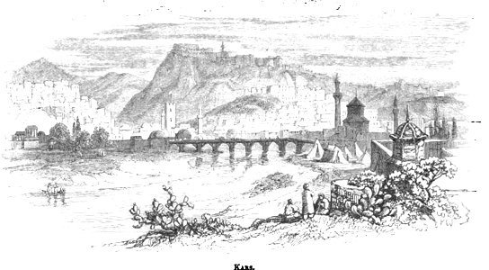
old pictures and maps of kars
1856 maps
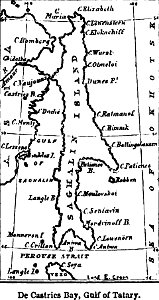
sakhalin
crowned eagles argent
pictorial maps
pictorial history of the russian war 1854-5-6 by george dodd
old maps of sevastopol
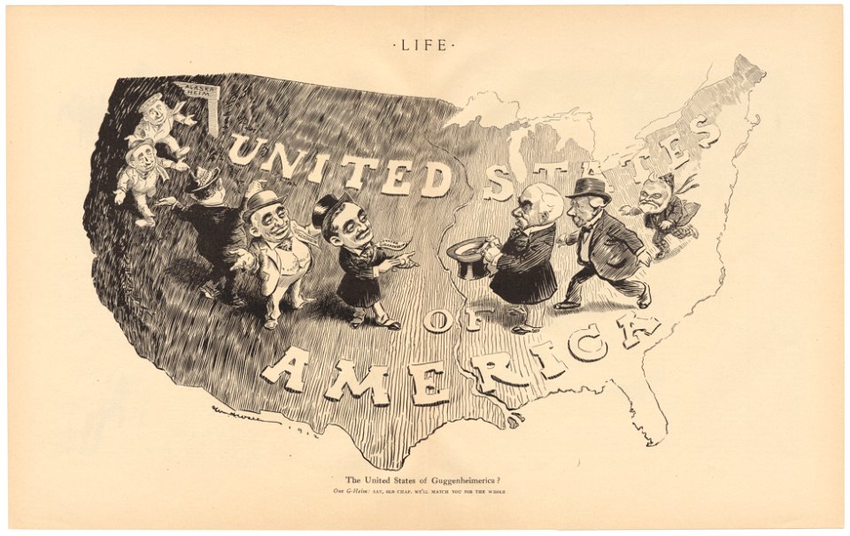
life
1912
cornell university library
pictorial maps
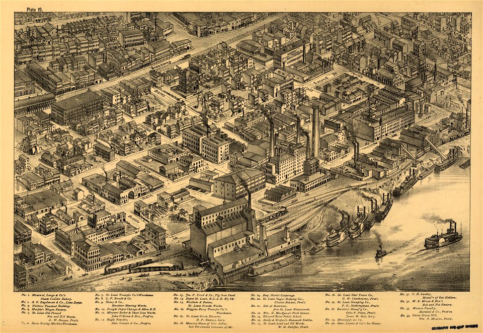
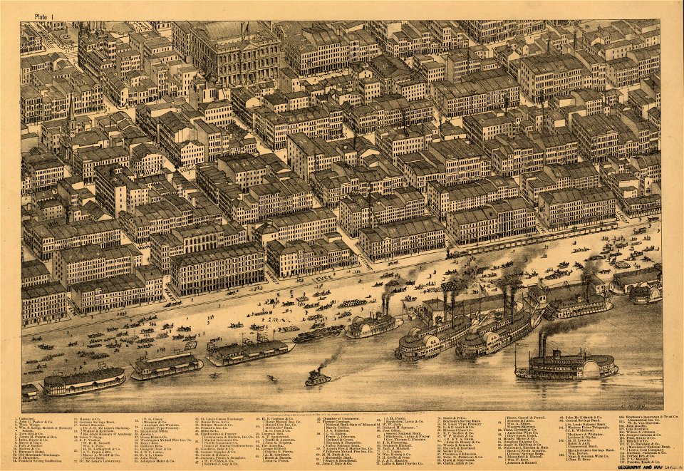
maps in the library of congress
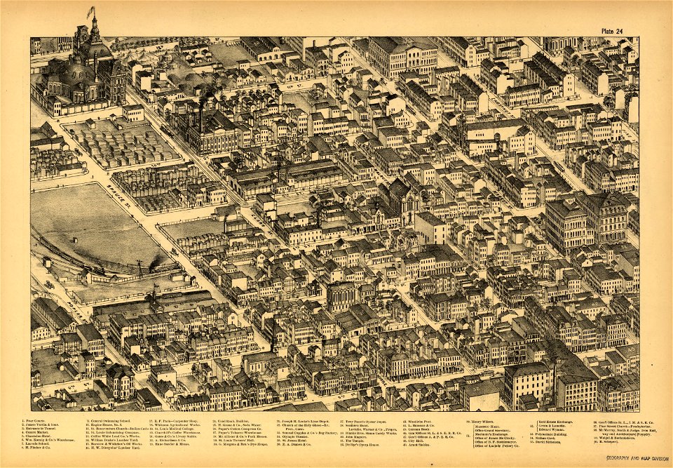
pictorial st. louis
maps in the library of congress
pictorial st. louis
maps in the library of congress
pictorial st. louis
maps in the library of congress
pictorial st. louis
maps in the library of congress
pictorial st. louis
maps in the library of congress
pictorial st. louis
1 - 100 of 514
Next page
/ 6