Log in
All resources
Create a design
69 Free Artworks of Old Maps Of Canada
maps in the library of congress
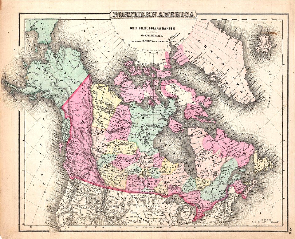
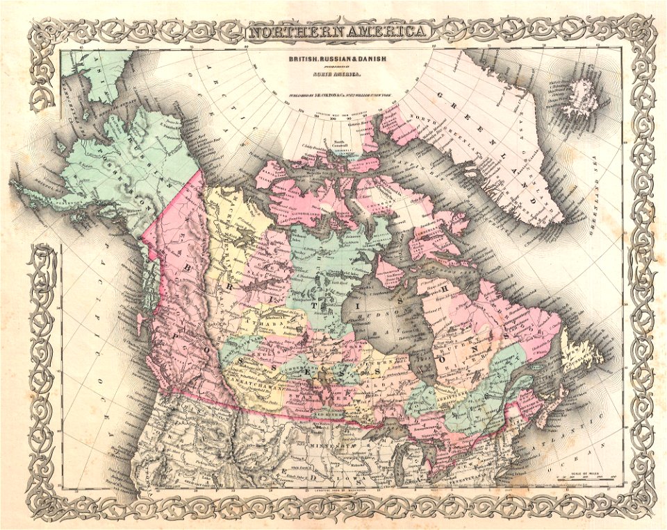
maps by joseph hutchins colton
english-language maps
old maps of canada from the norman b. leventhal map center
old maps of the united states from the norman b. leventhal map center
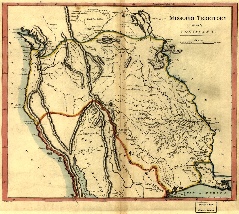
1814 maps
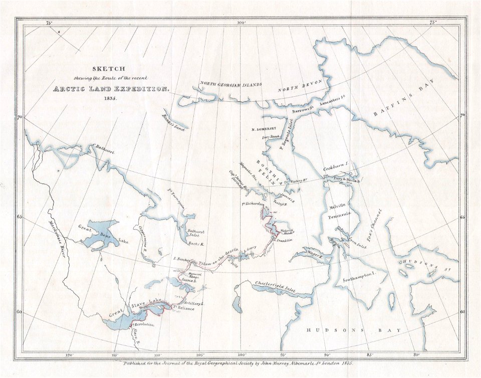
old maps of the arctic
old maps of new france
old maps of new brunswick
old maps of north america
overwintering on nova zembla by willem barentsz, 1596-1597
maps in the rijksmuseum amsterdam
old maps of greenland
old maps of canada
maps by samuel de champlain
old maps of new france
old maps of new brunswick
old maps of newfoundland
maps by jacques-nicolas bellin
old maps of canada
old maps of canada
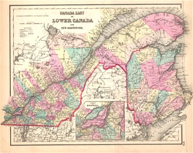
province of canada
english-language maps
old maps of canada
old maps of new france
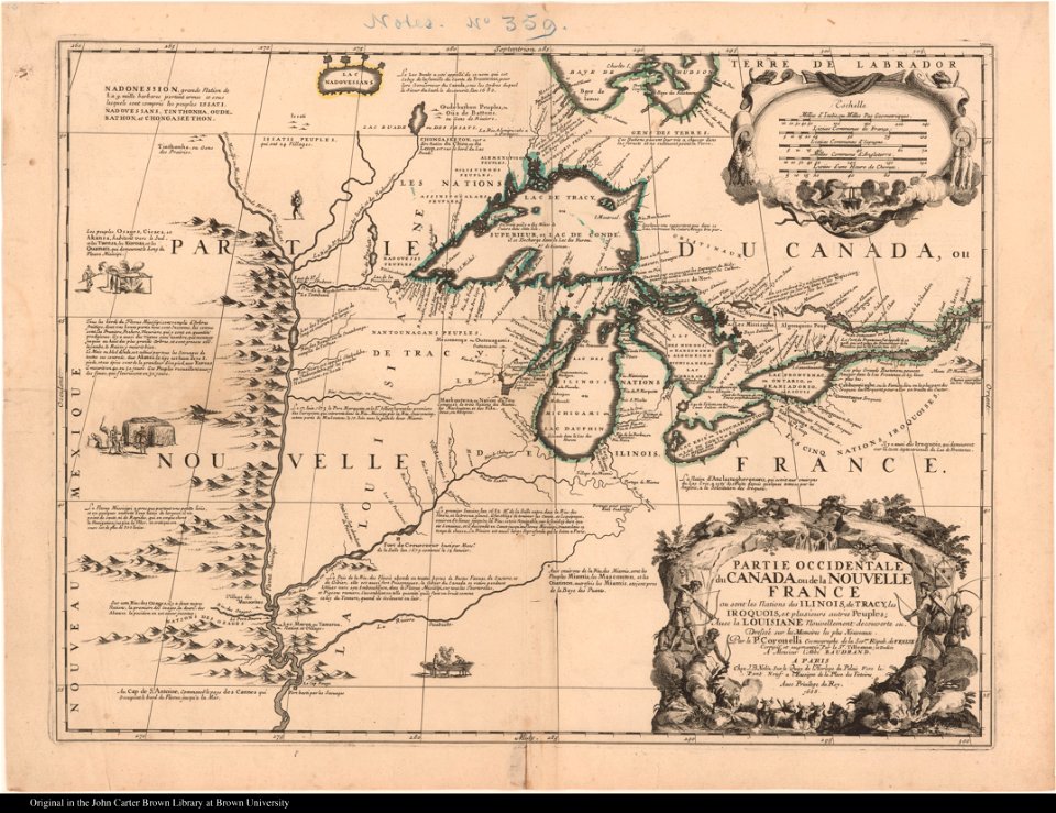
maps by coronelli
18th-century maps of north america
1794 maps
old maps of the united states
old maps of canada
maps in the library of congress
old maps of ohio
maps in the library of congress
old maps of canada
old maps of new brunswick
old maps of newfoundland
maps in the library of congress
old maps of ohio
maps in the library of congress
old maps of canada
maps in the library of congress
old maps of canada
old maps of new france
maps by coronelli
old maps of canada from the norman b. leventhal map center
maps of the french and indian war
old maps of new france
maps by coronelli
old maps of north america
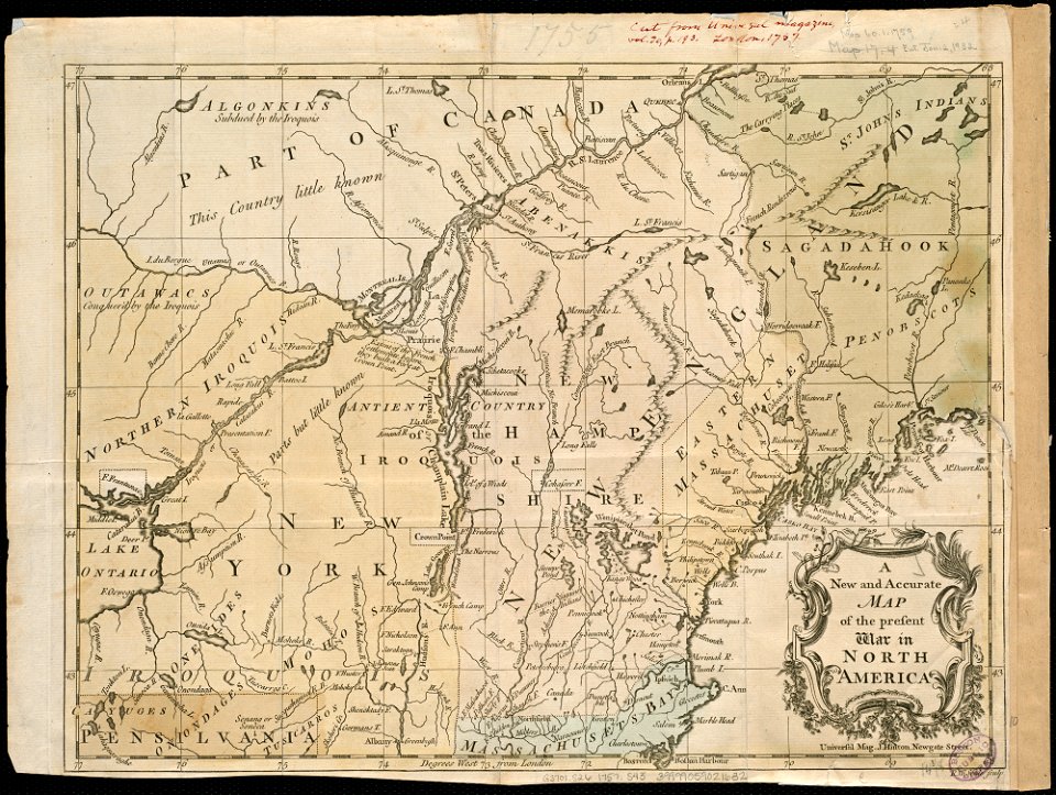
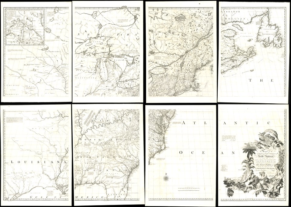
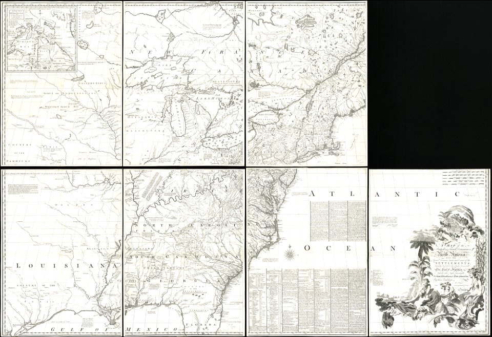
1755 mitchell map
old maps of north america
1755 mitchell map
old maps of north america
1755 mitchell map
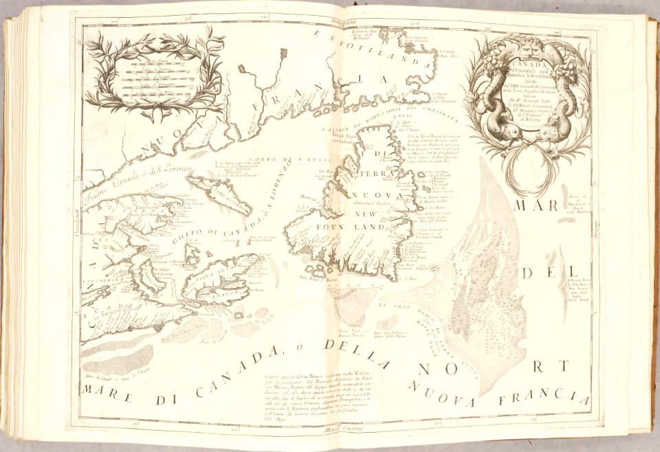
atlante veneto (raremaps.com) volume 2
old maps of canada
old maps of new brunswick
old maps of virginia
popular science monthly illustrations/volume 13
drainage basin maps of north america
old maps of the saint lawrence river
maps by joseph hutchins colton
united states geological survey maps
old maps of new york (state)
old maps of the saint lawrence river
maps by joseph hutchins colton
old maps of the saint lawrence river
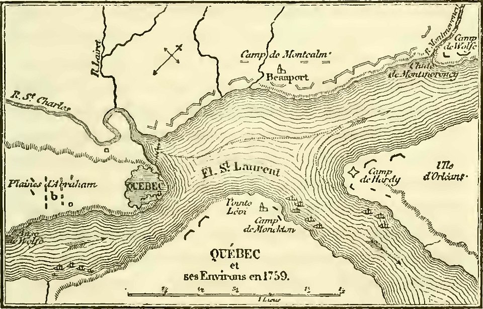
history of quebec
prints from bonne atlas de toutes les parties at the peace palace library
1780 maps of canada
maps in the library of congress
old maps of maine
maps in the library of congress
old maps of maine
maps in the library of congress
1867 maps
maps in the library of congress
1867 maps
old map
maps with cartouches
old maps of canada
1853
54
robert wallis (engraver)
henry warren
maps in the library of congress
history of sherbrooke (quebec)
robert wallis (engraver)
henry warren
maps by john tallis
maps by john rapkin
history of sherbrooke (quebec)
1881 in quebec
1849 maps of north america
old maps of canada
historical map collection
maps by john cary
maps indicating exploration
royal geographical society
old geological maps by jean-etienne guettard
jean étienne guettard
glaciers and glaciation (1910)
maps of inside passage
old geological maps by jean-etienne guettard
jean étienne guettard
old maps of the american revolution
1777 maps of quebec
the earth and its inhabitants, vol. xii: africa, vol. iii
canary islands in the 1890s
maps by frederick william beechey
northwest passage
18th-century maps of western europe
jean étienne guettard
1777 maps of new york (state)
1777 maps of new jersey
maps by daniel lizars
1830s maps of belize
across the sub-arctics of canada, a journey of 3,200 miles by canoe and snow shoe through the hudson bay region (1908)
old maps of canada
description de l'universe
old maps of canada
maps of the history of the united states
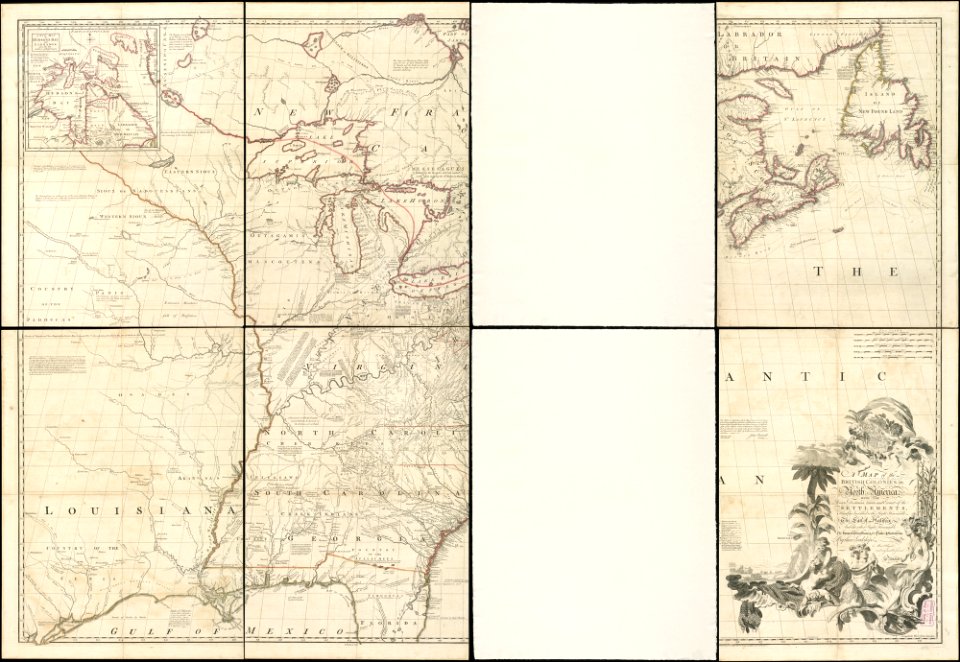
old maps of the british empire
1807 maps of canada
maps by john cary
maps in the library of congress
1777 maps of north america
1770s maps of alaska
robert de vaugondy
across the sub-arctics of canada, a journey of 3,200 miles by canoe and snow shoe through the hudson bay region (1908)
arthur heming
an empire story; stories of india and the greater colonies told to children (1908)
old maps of canada
maps in the library of congress
1777 maps
considérations géographiques et physiques sur les nouvelles découvertes au nord de la grande mer
1750s maps of the russian empire
considérations géographiques et physiques sur les nouvelles découvertes au nord de la grande mer
old maps of the yellow sea
de nieuwe groote lichtende zee-fakkel (rijksmuseum)
maps in the rijksmuseum amsterdam
french-language maps of north america
1809 maps of north america
1805 maps of the united states
maps by john cary
1821 maps of the united states
maps by john cary
1 - 69 of 69
/ 1