Log in
All resources
Create a design
26,489 Free Artworks of Map
bibliothèque nationale de france
chorographia britanniae (1741-1742)
maps by thomas kitchin
thomas kitchin
de praecipvis totivs vniversi vrbibvs, liber secvndvs (1575)
national library of poland
paper
british museum
baroque
maps from gallica
chorographia britanniae (1741-1742)
1740s maps of wales
18th-century maps of herefordshire
old county maps of herefordshire
de praecipvis totivs vniversi vrbibvs, liber secvndvs (1575)
maps of konstanz by braun & hogenberg
maps of rodrigues island
old maps of mauritius
chorographia britanniae (1741-1742)
18th-century maps of dorset
maps in the library of congress
1863 maps
maps in the british museum
german renaissance
geographia universalis (1545) in the british museum
german renaissance,northern renaissance
chorographia britanniae (1741-1742)
18th-century maps of hertfordshire
chorographia britanniae (1741-1742)
18th-century maps of warwickshire
de praecipvis totivs vniversi vrbibvs, liber secvndvs (1575)
maps of conil by braun & hogenberg
chorographia britanniae (1741-1742)
18th-century maps of worcestershire
chorographia britanniae (1741-1742)
old county maps of county durham
18th-century maps of northamptonshire
chorographia britanniae (1741-1742)
18th-century maps of gloucestershire
chorographia britanniae (1741-1742)
chorographia britanniae (1741-1742)
18th-century maps of cheshire
18th-century maps of buckinghamshire
chorographia britanniae (1741-1742)
de praecipvis totivs vniversi vrbibvs, liber secvndvs (1575)
maps of oxford by braun & hogenberg
chorographia britanniae (1741-1742)
18th-century maps of berkshire
chorographia britanniae (1741-1742)
18th-century maps of somerset
de praecipvis totivs vniversi vrbibvs, liber secvndvs (1575)
maps of corfu by braun & hogenberg
old maps of whole wales (alone)
1670s maps of wales
chorographia britanniae (1741-1742)
18th-century maps of surrey
chorographia britanniae (1741-1742)
18th-century maps of shropshire
chorographia britanniae (1741-1742)
18th-century maps of leicestershire
chorographia britanniae (1741-1742)
18th-century maps of bedfordshire
maps in the british museum
german renaissance
chorographia britanniae (1741-1742)
18th-century maps of devon
chorographia britanniae (1741-1742)
1740s maps of wales
chorographia britanniae (1741-1742)
18th-century maps of derbyshire
maps in the british museum
german renaissance
arts and crafts movement
maps of fictional europe
maps of paris by braun & hogenberg
topographia westphaliae (merian)
baroque
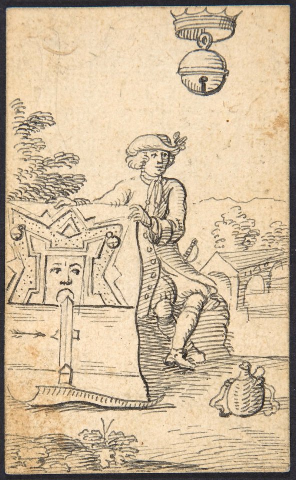
drawings in the metropolitan museum of art
johannes brandenberg
drawings in the metropolitan museum of art
johannes brandenberg
old maps of switzerland
maps from gallica
1669 maps of south america
guillaume sanson
engravings in the yale center for british art
nathaniel whittock
engravings from dick sand, a captain at fifteen by charles barbant
illustrations from dick sand, a captain at fifteen by henri meyer
19th-century maps of gabon
1877 maps of africa
pierre antoine tardieu
heinrich keller
old maps of switzerland
maps from gallica
maps of galicia by mercator-hondius
salomon rogiers
maps in the stadsarchief amsterdam
hendrik de leth
gemeente atlas van nederland - north brabant
sleeuwijk
salle du manège
feuillant club
history of ortenburg
friedrich casimir
maps of the ottoman empire by mercator-hondius
persian gulf naming dispute
topographischer atlas der schweiz
maps of lake lugano
maps of wallachia by gerardus mercator
atlas novus (blaeu)
media from atlas of mutual heritage on dutch east india company
17th-century maps of mozambique
maps of 's-hertogenbosch by braun & hogenberg
atlas beudeker
too late for gordon and khartoum (1887) by macdonald
maps of the mahdist war
atlas sive cosmographicae (gerardus mercator, 1630)
maps of corsica by gerardus mercator
20th-century maps of oise
maps from gallica
atlas sive cosmographicae (gerardus mercator, 1630)
maps of england by gerardus mercator
plenilunii lumina austriaca philippica
maps from gallica
fronhofturm
baroque
karl ii zu schwarzenberg
eugen adam
1580s maps of the holy roman empire
copper engravings
gemeente atlas van nederland - north brabant
bokhoven
18th-century maps of cornwall
maps by thomas kitchin
maps by thomas kitchin
old maps of hampshire
old maps of oxfordshire
maps by thomas kitchin
bibliothèque nationale de france
maps by thomas kitchin
bibliothèque nationale de france
maps by thomas kitchin
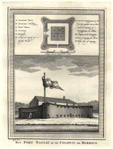
west-indische compagnie
1770
16th-century maps of lisbon
1580s maps of portugal
maps of granada by braun & hogenberg
1572 in andalusia
1580s maps of belgium
copper engravings
strålsjön
älta
le royaume de france distingué by guillaume sanson
maps by nicolas sanson
maps from university of amsterdam special collections
atlas der neederlanden
maps from university of amsterdam special collections
atlas der neederlanden
maps from university of amsterdam special collections
atlas der neederlanden
map of the upper rhenian circle by sanson
1700s maps of north rhine-westphalia
guida illustrata di montepiano e sue adiacenze (1892)
books from biblioteca lazzerini di prato
2013 postage stamps of belarus
miniature sheets of belarus
st. nikolai, hamburg (before 1843)
1572 engravings
description de l'universe
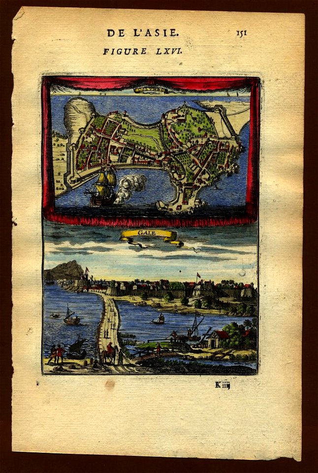
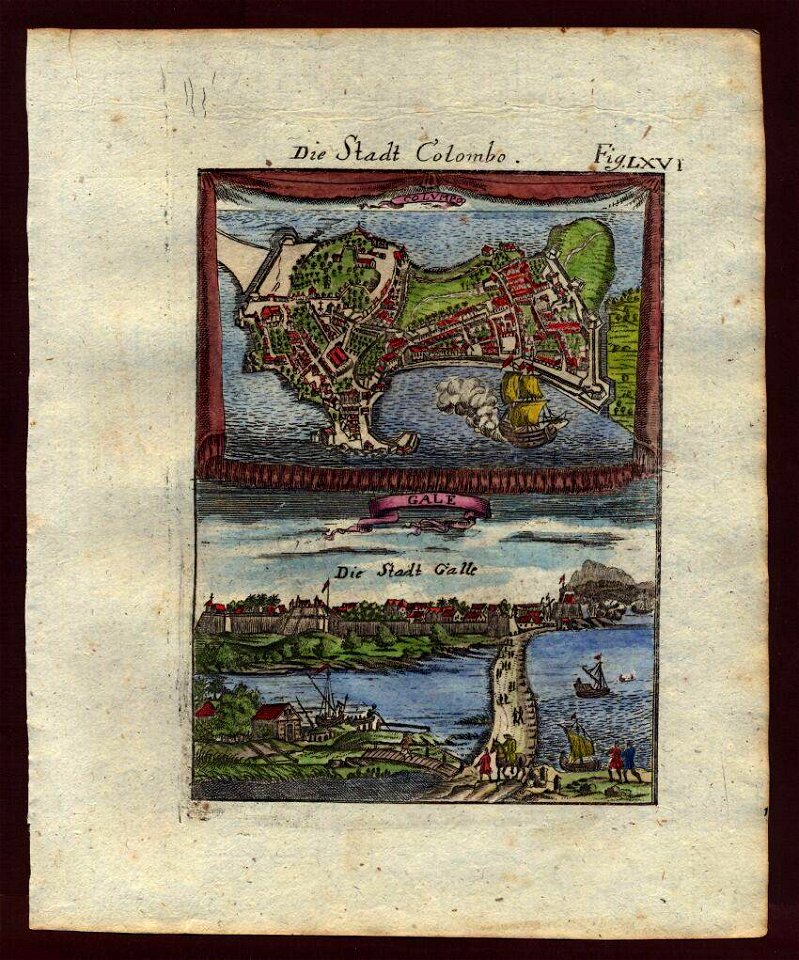
dutch ceylon
description de l'universe
dutch ceylon
atlas des anciens plans de paris by imprimerie nationale, 1880 from bhvp
map of paris by jouvin de rochefort (boutier 112)
atlas des anciens plans de paris by imprimerie nationale, 1880 from bhvp
18th-century maps of paris
map of maastricht by willem and johannes blaeu (1649)
meuse river in maastricht
atlas des anciens plans de paris by imprimerie nationale, 1880 from bhvp
map of paris by jouvin de rochefort (boutier 112)
siege of breda 1624-1625
atlas van loon
travels in the interior of north america, during the years 1832–1834
1840 maps of north america
maps of brussels by braun & hogenberg
maps in the royal library of belgium
maps of florence by braun & hogenberg
maps of genoa by braun & hogenberg
nuovo atlante geografico universale
old maps of southeast asia
old maps of philippsburg
wilhelm besserer
eran laor cartographic collection
isaak tirion
des heil. röm. reichs stadt nürnberg zierdte
1709 in fürth
buda in the 17th century
baroque
maps in the library of congress
market square (knoxville)
carte de perse by guillaume delisle (1724)
eran laor cartographic collection
the hague in the 1720s
old maps of the hague
old maps of atlantis
island of california
merian hassiae
baroque
12901 - 13000 of 26,489
Next page
/ 265