Log in
All resources
Create a design
321 Free Artworks of Old Maps Of Atlantis
maps made in the 17th century
atlantis magni tomus tertius (biblioteca comunale di trento)
maps by pieter schenk (i)
gerard valck
atlantis magni tomus secundus (biblioteca comunale di trento)
maps made in the 18th century
maps by nicolaes visscher i
atlantis magni tomus quintus (biblioteca comunale di trento)
atlantis magni tomus quartus (biblioteca comunale di trento)
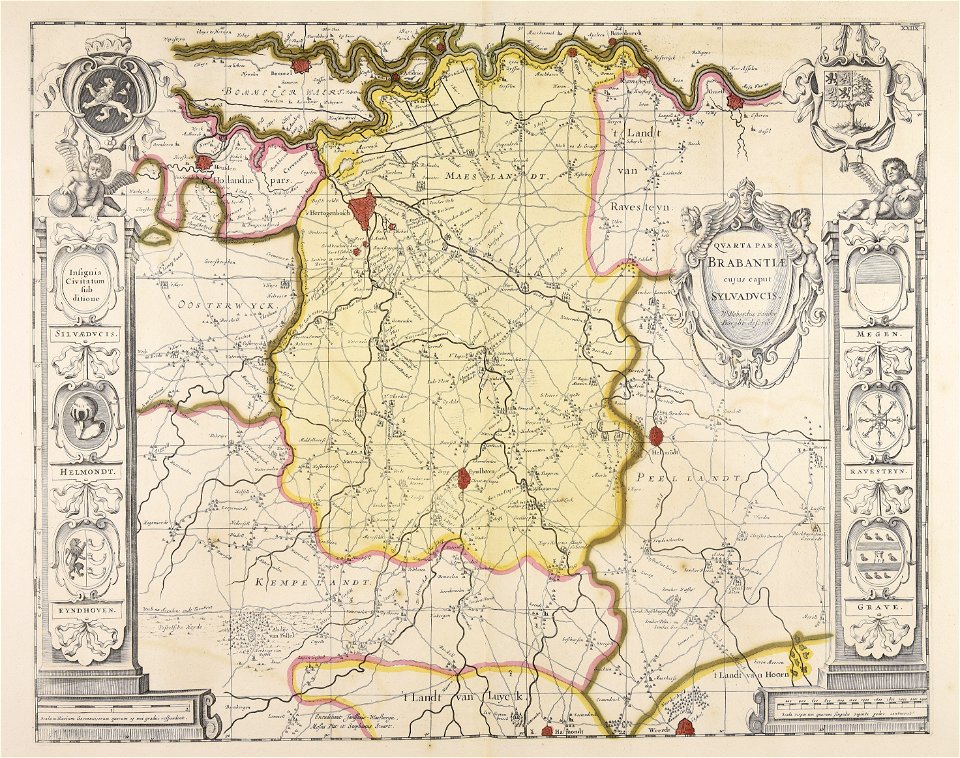
moses pitt
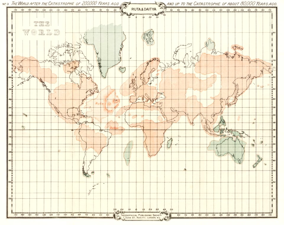
world map
maps
atlantis magni tomus secundus (biblioteca comunale di trento)
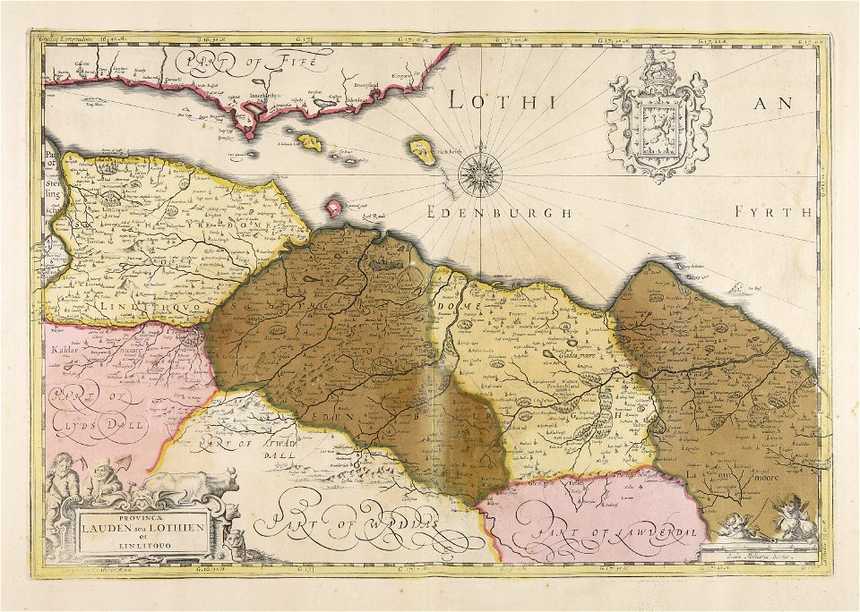
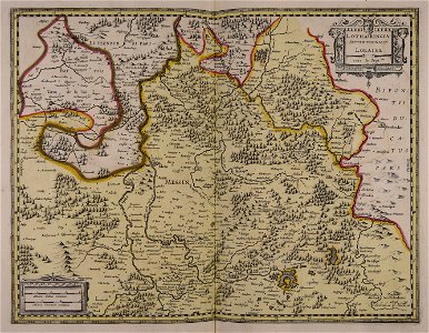
old maps of lothian
maps made in the 17th century
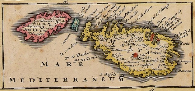
old maps of malta
maps made in the 18th century
old maps of europe
maps made in the 17th century
gerard valck
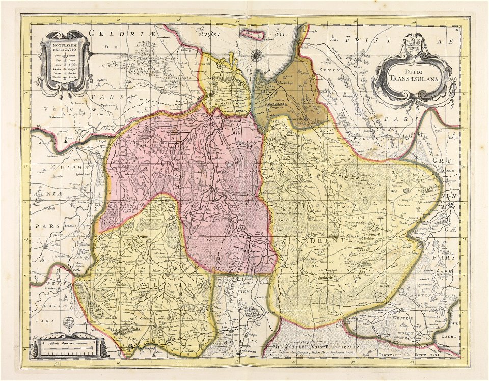
old maps of overijssel
old maps of drenthe
maps made in the 17th century
gerard valck
maps made in the 17th century
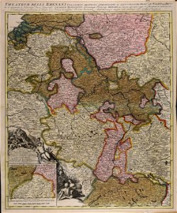
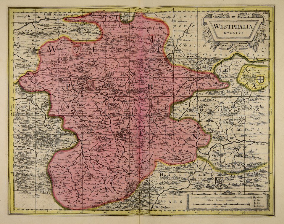
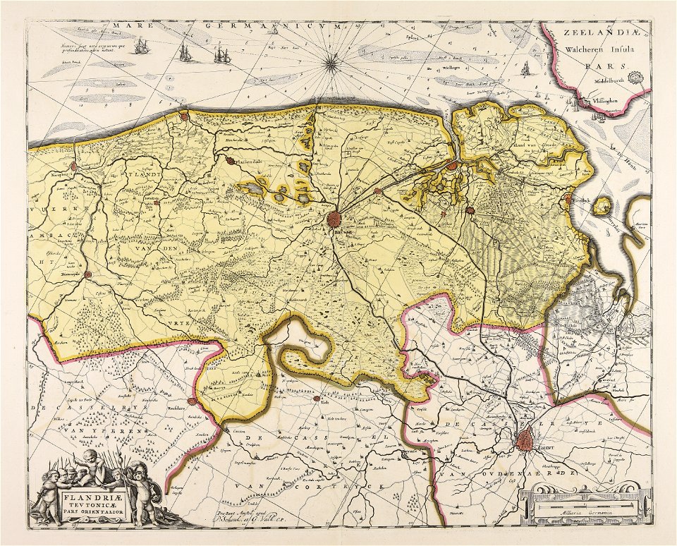
old maps of westphalia
atlantis magni tomus tertius (biblioteca comunale di trento)
maps made in the 17th century
maps made in the 17th century
gerard valck
maps made in the 17th century
maps by nicolaes visscher i
maps made in the 17th century
gerard valck
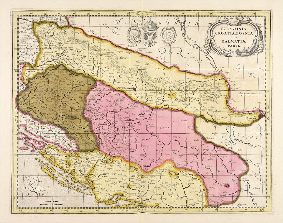
old maps of bosnia and herzegovina
gerard valck
atlantis magni tomus tertius (biblioteca comunale di trento)
maps made in the 17th century
maps made in the 17th century
gerard valck
maps made in the 18th century
old maps of europe
maps made in the 17th century
gerard valck
atlantis magni tomus tertius (biblioteca comunale di trento)
maps made in the 17th century
atlantis magni tomus tertius (biblioteca comunale di trento)
maps made in the 17th century
maps made in the 17th century
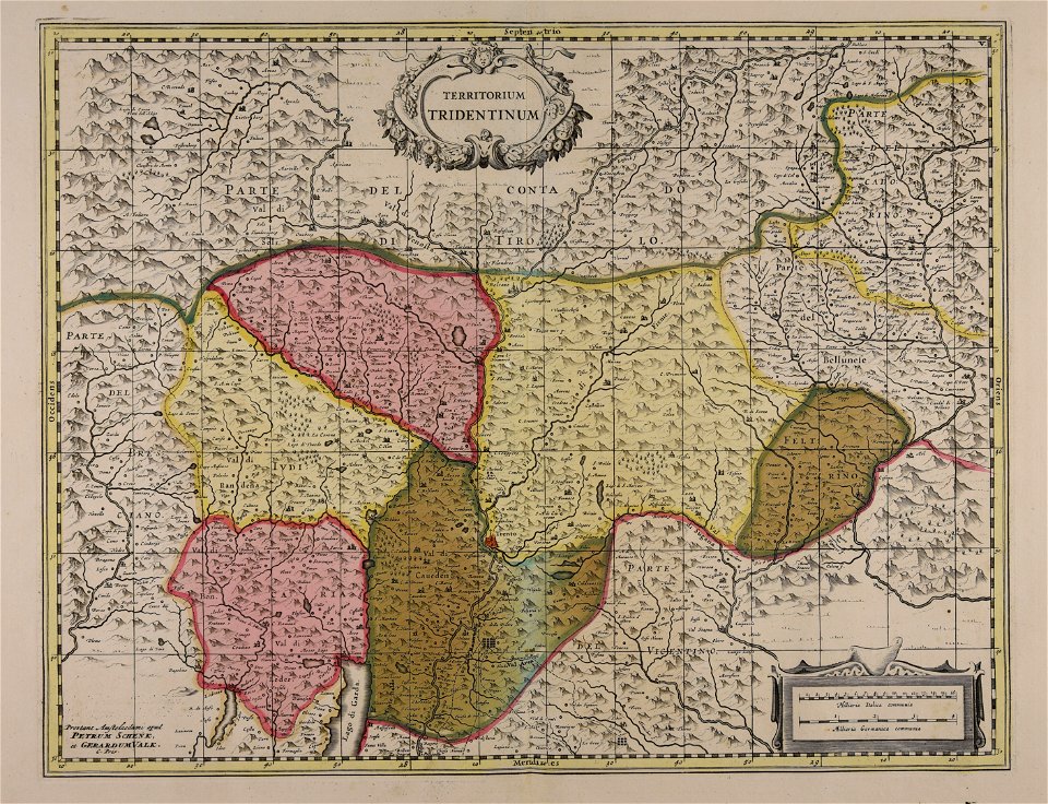
old maps of trentino
maps made in the 17th century
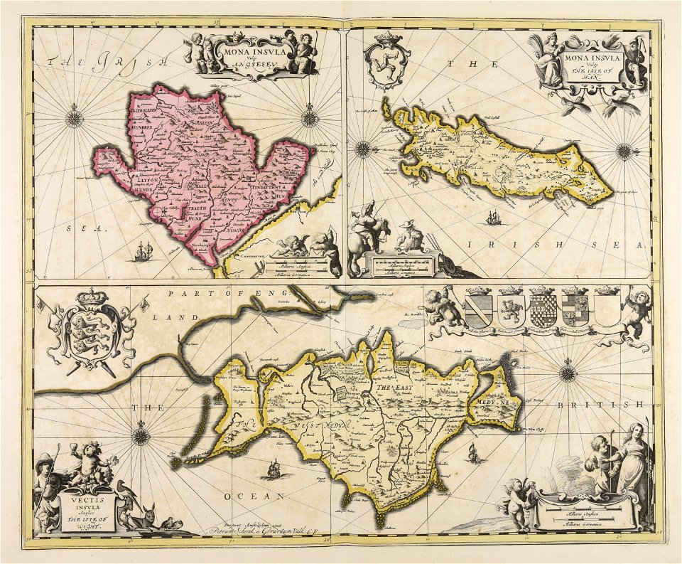
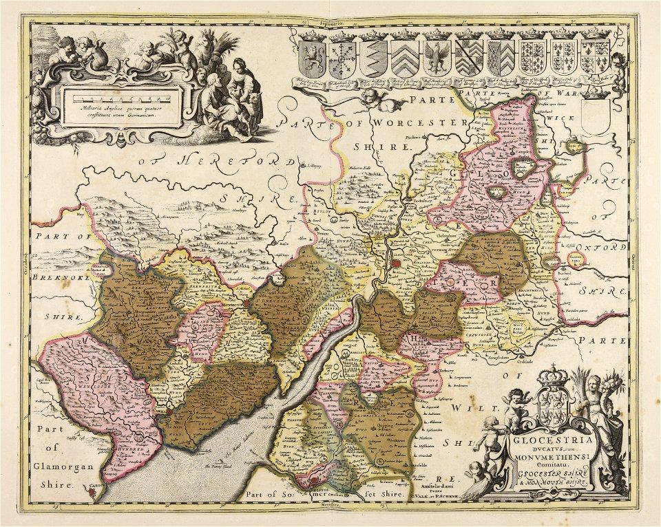
old maps of wales
maps made in the 17th century
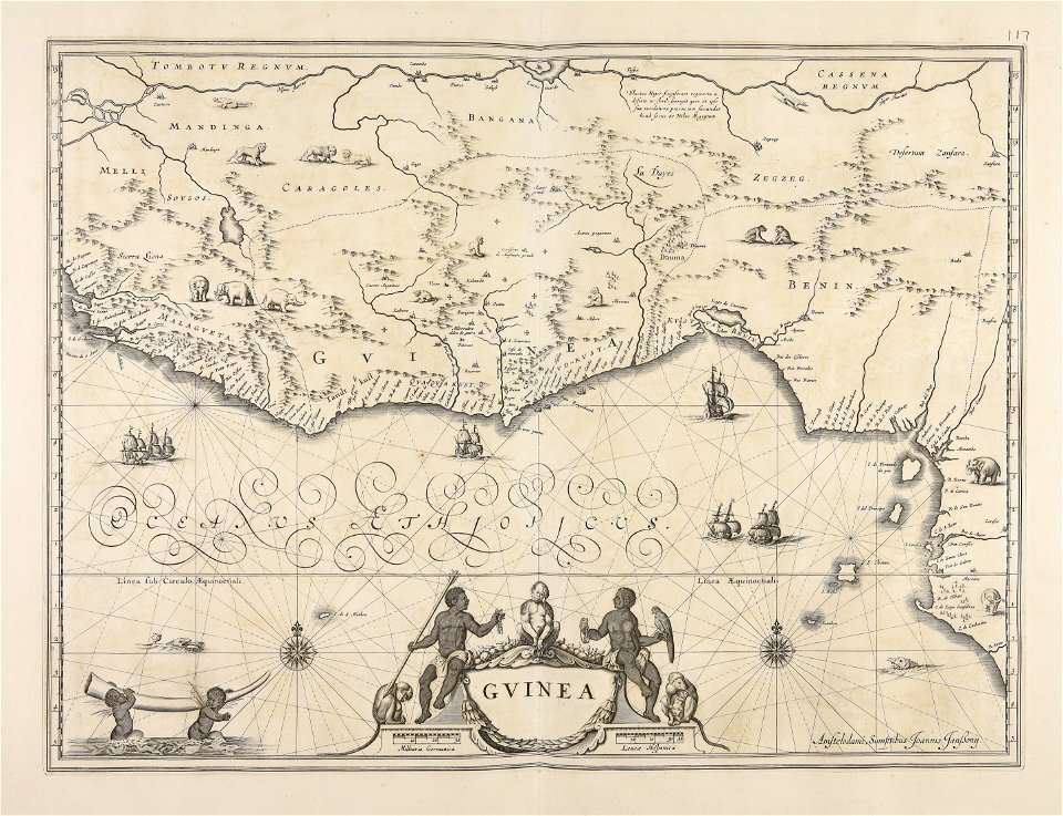
old maps of guinea
maps made in the 17th century
gerard valck
maps made in the 17th century
gerard valck
maps made in the 17th century
gerard valck
sierra leone
gerard valck
maps made in the 17th century
maps by nicolaes visscher i
maps made in the 17th century
nicolaes visscher ii
atlantis magni tomus tertius (biblioteca comunale di trento)
maps made in the 17th century
maps made in the 17th century
maps by nicolaes visscher i
maps made in the 18th century
gerard valck
atlantis magni tomus tertius (biblioteca comunale di trento)
maps made in the 17th century
atlantis magni tomus tertius (biblioteca comunale di trento)
maps made in the 17th century
maps made in the 17th century
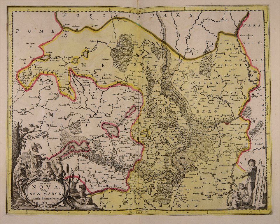
old maps of brandenburg
atlantis magni tomus secundus (biblioteca comunale di trento)
maps made in the 17th century
maps made in the 17th century
old maps of malta
maps made in the 17th century
maps by nicolaes visscher i
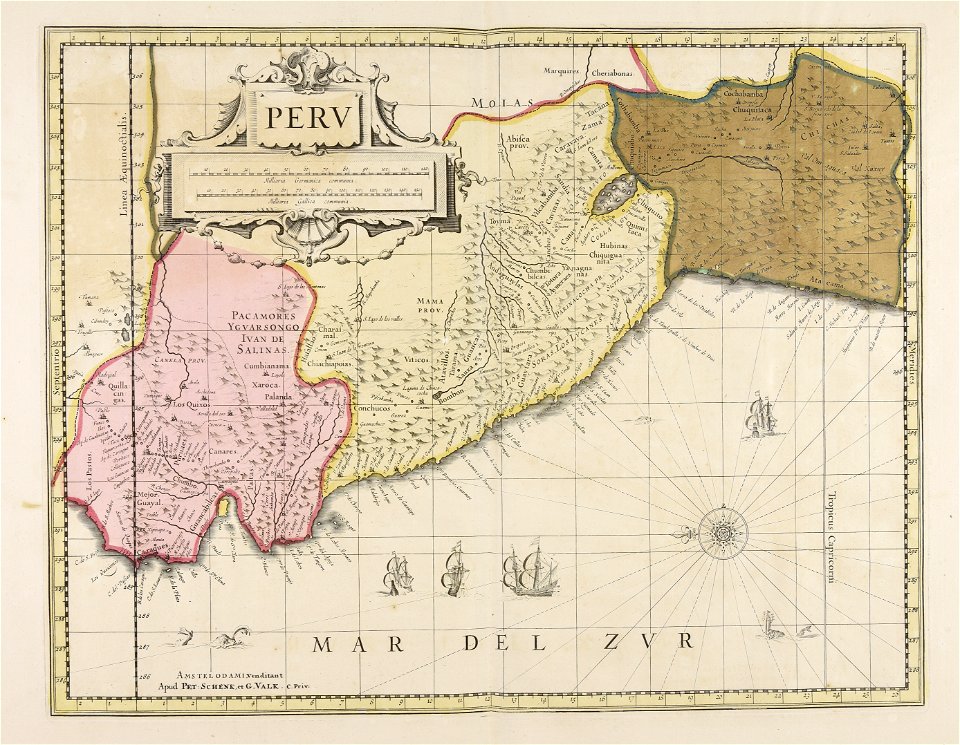
old maps of peru
gerard valck
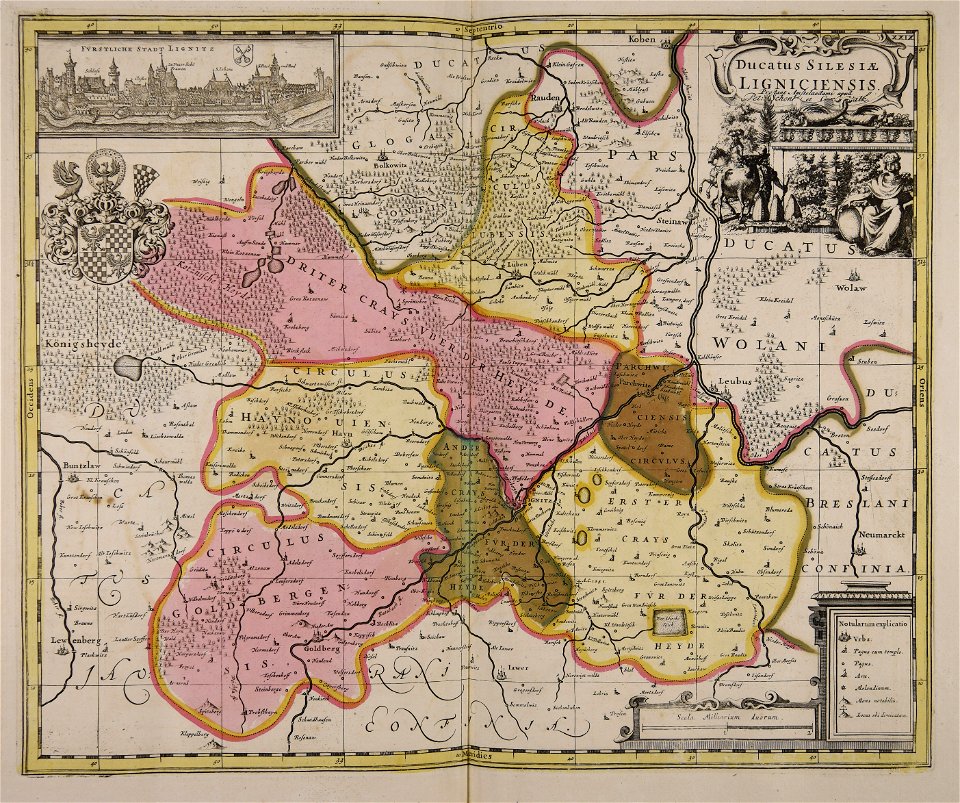
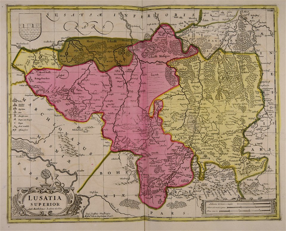
old maps of silesia
gerard valck
maps made in the 17th century
gerard valck
maps made in the 17th century
gerard valck
maps made in the 17th century
jan janssonius
maps made in the 17th century
old maps of skåne
maps made in the 17th century
gerard valck
old maps of nuremberg
gerard valck
maps made in the 17th century
gerard valck
atlantis magni tomus tertius (biblioteca comunale di trento)
maps made in the 17th century
maps made in the 17th century
gerard valck
maps made in the 18th century
old maps of europe
maps made in the 17th century
gerard valck
maps made in the 17th century
maps by johannes janssonius
maps made in the 17th century
maps by pieter schenk (i)
maps made in the 17th century
maps by nicolaes visscher i
maps made in the 17th century
gerard valck
maps made in the 17th century
old maps of westphalia
maps made in the 17th century
gerard valck
maps made in the 17th century
gerard valck
maps made in the 17th century
gerard valck
maps made in the 17th century
gerard valck
maps made in the 17th century
gerard valck
old maps of silesia
gerard valck
maps made in the 18th century
gerard valck
maps made in the 17th century
old maps of iceland
maps made in the 18th century
johann baptist homann
maps made in the 18th century
johann baptist homann
maps by nicolaes visscher i
old maps of upper austria
old maps of silesia
gerard valck
maps made in the 17th century
gerard valck
maps made in the 17th century
gerard valck
maps made in the 18th century
gerard valck
maps made in the 17th century
nicolaes visscher ii
atlantis magni tomus secundus (biblioteca comunale di trento)
maps made in the 17th century
maps made in the 17th century
gerard valck
atlantis magni tomus tertius (biblioteca comunale di trento)
maps made in the 17th century
maps made in the 17th century
jan janssonius
atlantis magni tomus primus (biblioteca comunale di trento)
maps made in the 17th century
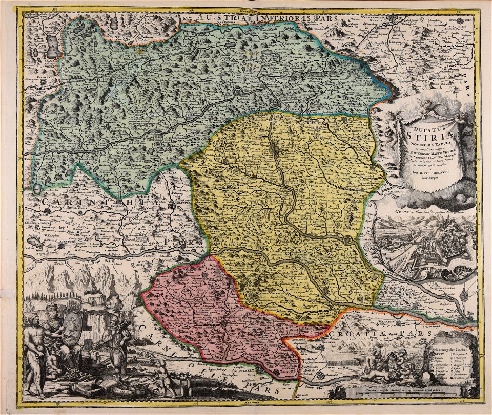
old maps of styria
gerard valck
maps made in the 17th century
maps by nicolaes visscher i
maps made in the 17th century
gerard valck
gerard valck
cina
maps made in the 17th century
gerard valck
maps made in the 17th century
gerard valck
maps made in the 18th century
johann baptist homann
maps made in the 17th century
old maps of the world
maps made in the 17th century
gerard valck
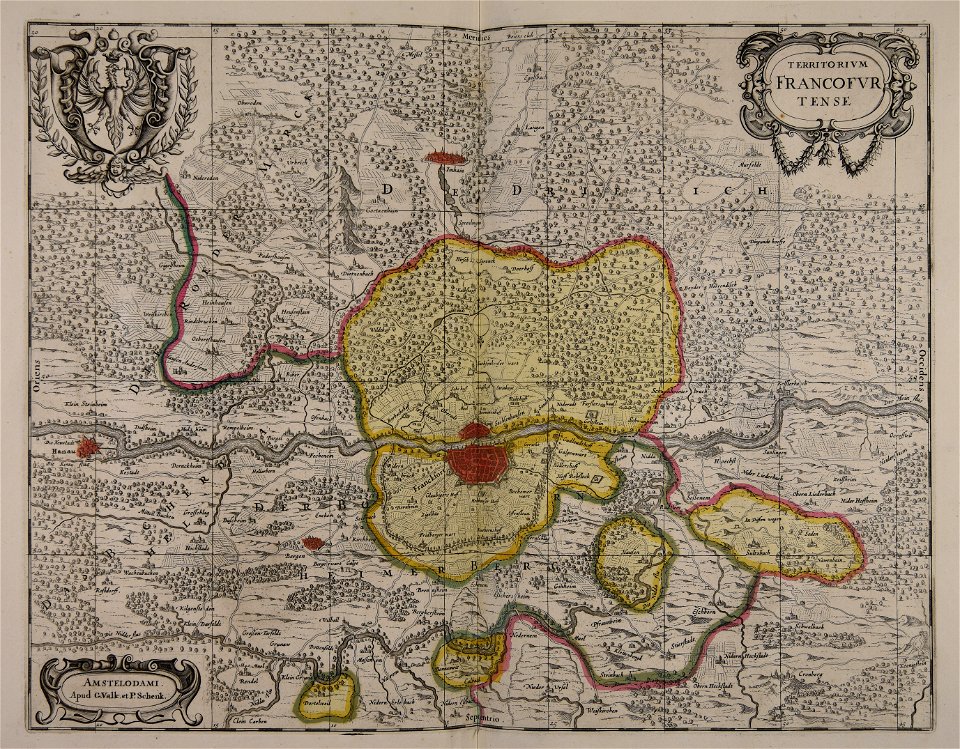
old maps of frankfurt am main
gerard valck
maps made in the 17th century
gerard valck
atlantis magni tomus tertius (biblioteca comunale di trento)
maps made in the 17th century
atlantis magni tomus secundus (biblioteca comunale di trento)
maps made in the 17th century
maps made in the 18th century
gerard valck
atlantis magni tomus tertius (biblioteca comunale di trento)
maps made in the 17th century
johann baptist homann
old maps of styria
maps made in the 17th century
jan janssonius
maps made in the 17th century
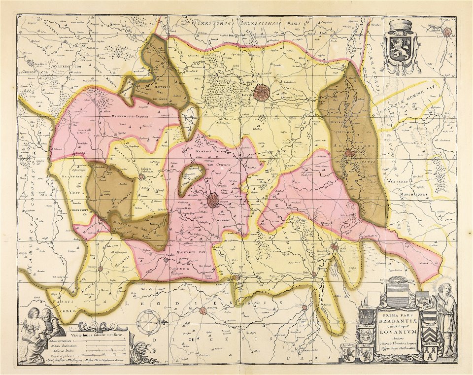
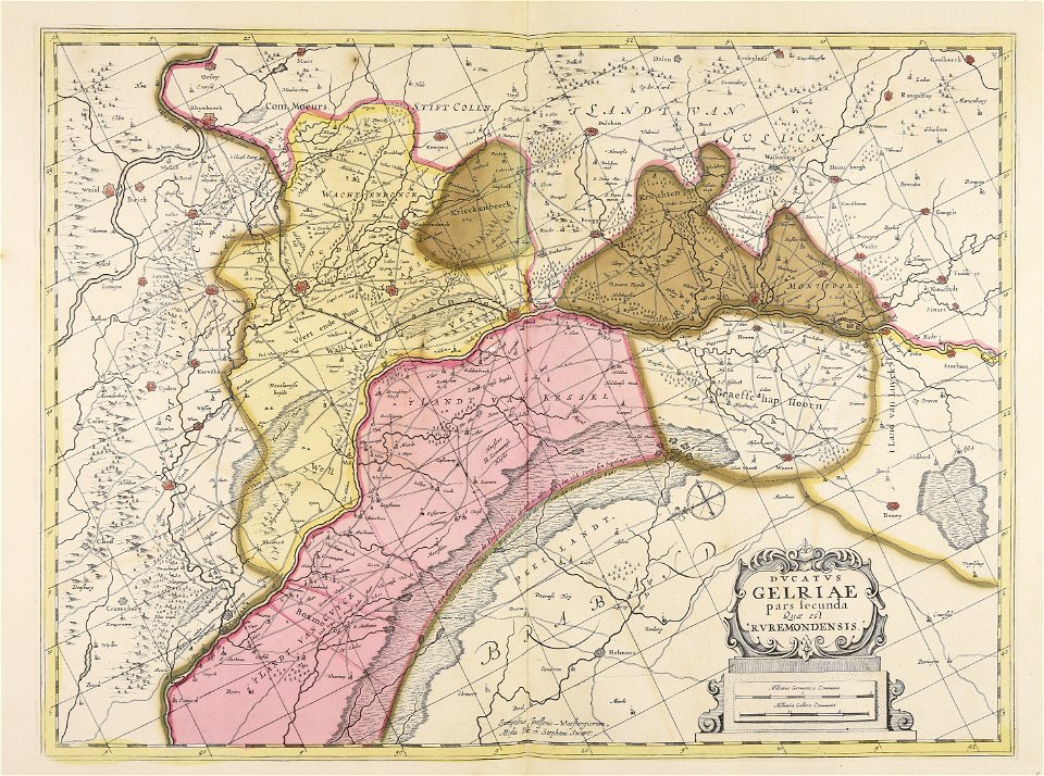
old maps of gelderland
maps made in the 17th century
gerard valck
maps made in the 17th century
gerard valck
maps made in the 17th century
gerard valck
maps made in the 17th century
gerard valck
maps made in the 17th century
old maps of scandinavia
maps made in the 17th century
gerard valck
1 - 100 of 321
Next page
/ 4