Log in
All resources
Create a design
8 Free Artworks of Maps In The Royal Library Of Belgium
19th-century satirical maps
1899 maps of europe
1899 political cartoons
political maps of europe
english-language maps of europe
multilingual maps
quadrilingual english-french-german-italian signs
fred. w. rose
figurative maps
personifications of nations
19th-century satirical maps
1899 maps of europe
cornell: persuasive cartography: the pj mode collection
19th-century satirical maps
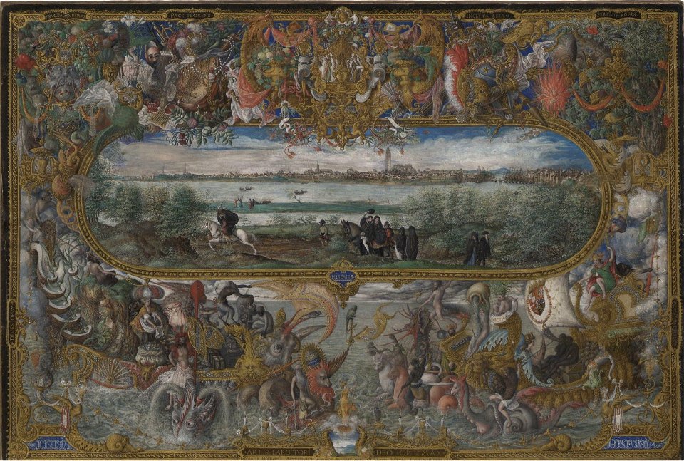
maps and topographical views by joris hoefnagel
drawings by joris hoefnagel
1573 maps of europe
christian sgrothen
bruxella nobilissima brabantiae civitas restauratum an° 1748
abraham dircksz. santvoort
maps of brussels by braun & hogenberg
maps in the royal library of belgium
bruxella nobilissima brabantiae civitas an° 1640
maps in the royal library of belgium
manuscripts in the royal library of belgium
maps of brussels by braun & hogenberg
1 - 8 of 8
/ 1