Log in
All resources
Create a design
38 Free Artworks of Old Maps Of The Hague
old maps of delfland
nicolaas samuel crucquius
maps from university of amsterdam special collections
atlas der neederlanden
atlas der neederlanden deel iii: holland 2. zuid-holland
copperplate print
special collections of the university of amsterdam
maps in utrecht university library
the hague stork in art
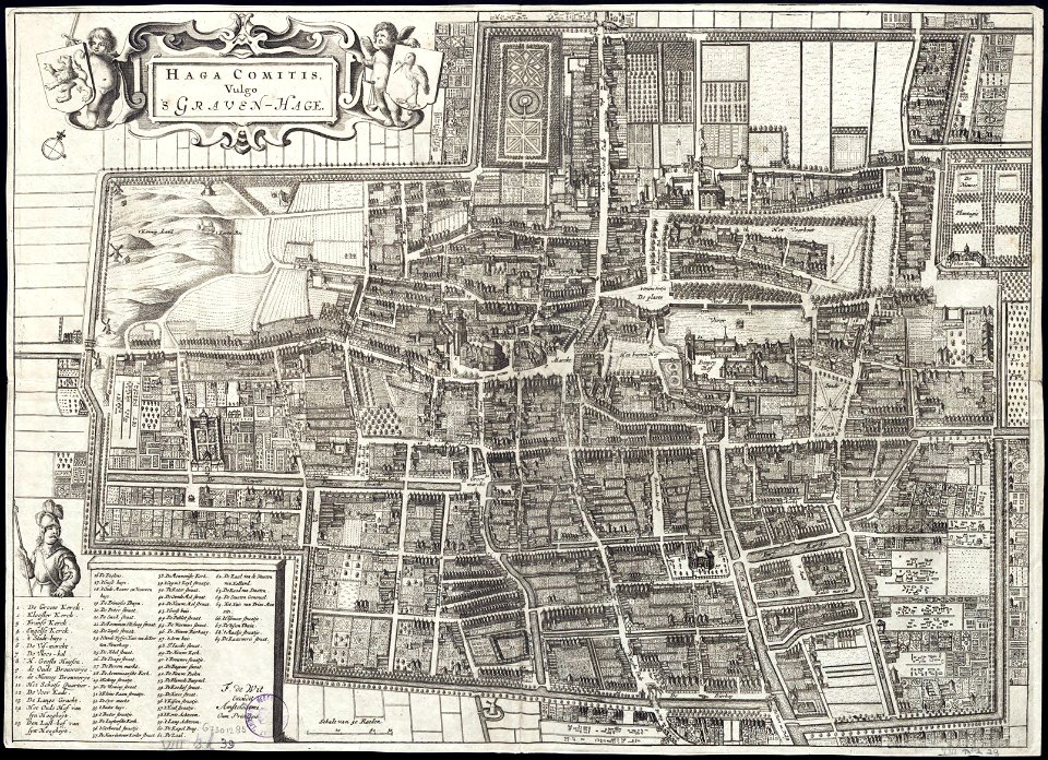
the hague in the 1660s
old maps of the hague
siege of leiden
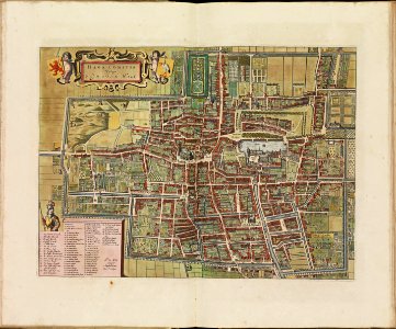
maps by willem and johannes blaeu
wijnhaven, the hague
the hague in the 1840s
old maps of the hague
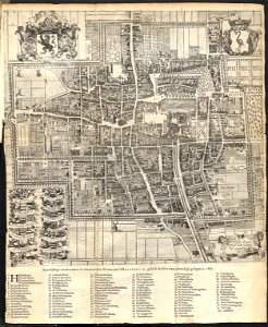
maps by frederick de wit
old maps of the hague
the hague stork in art
old maps of the hague
old maps of the hague
the hague
old maps of the hague
1668
dutch 17th-century prints in the rijksmuseum amsterdam
jan janssonius
netherlands
the hague
maps of the west-indische compagnie
1800 maps of the united states
maps from university of amsterdam special collections
atlas der neederlanden
old maps of the hague
cornelis elandt
bridge gw 39 scheveningsebrug
old maps of the hague
old maps of the hague
old maps of delfland
maps from university of amsterdam special collections
atlas der neederlanden
old maps of the hague
old maps of delfland
maps from university of amsterdam special collections
atlas der neederlanden
the hague in the 1830s
old maps of the hague
gemeente atlas van nederland - south holland
old maps of the hague
maps from university of amsterdam special collections
atlas der neederlanden
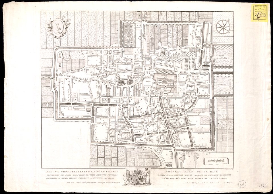
the hague in the 1720s
old maps of the hague
maps of polders in south holland
old maps of the hague
maps from university of amsterdam special collections
atlas der neederlanden
maps from university of amsterdam special collections
atlas der neederlanden
gemeente atlas van nederland - south holland
1860s maps of south holland
mauritshuis in the 17th century
dutch baroque architecture
maps from university of amsterdam special collections
atlas der neederlanden
nicolaas samuel crucquius
old maps of delfland
the hague in the 1720s
old maps of the hague
beschryving van 'sgraven-hage
old maps of the hague
old maps of the hague
carolus allard
1760s maps of north rhine-westphalia
düsseldorf in the 1760s
mauritshuis in the 17th century
dutch baroque architecture
old maps of the dutch gold coast
1818 maps
maps by jakob van der schley
old maps of stralsund
history of avignon
atlas van loon
maps in the rijksmuseum amsterdam
maps by isaak tirion
dutch baroque architecture
garden of the mauritshuis
1 - 38 of 38
/ 1