Log in
All resources
Create a design
24 Free Artworks of 17th Century Maps Of Indonesia
maps of the dutch east india company - indonesia
nationaal archief
johannes nessel
17th-century maps of the moluccas
1650s maps of indonesia
rapport van arnold de vlamingh van outshoorn
pen on paper
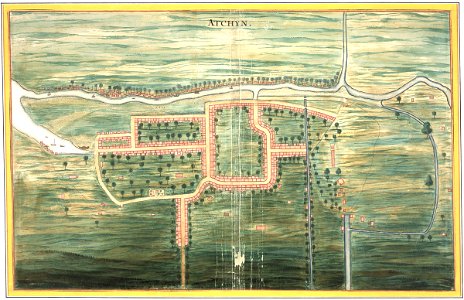
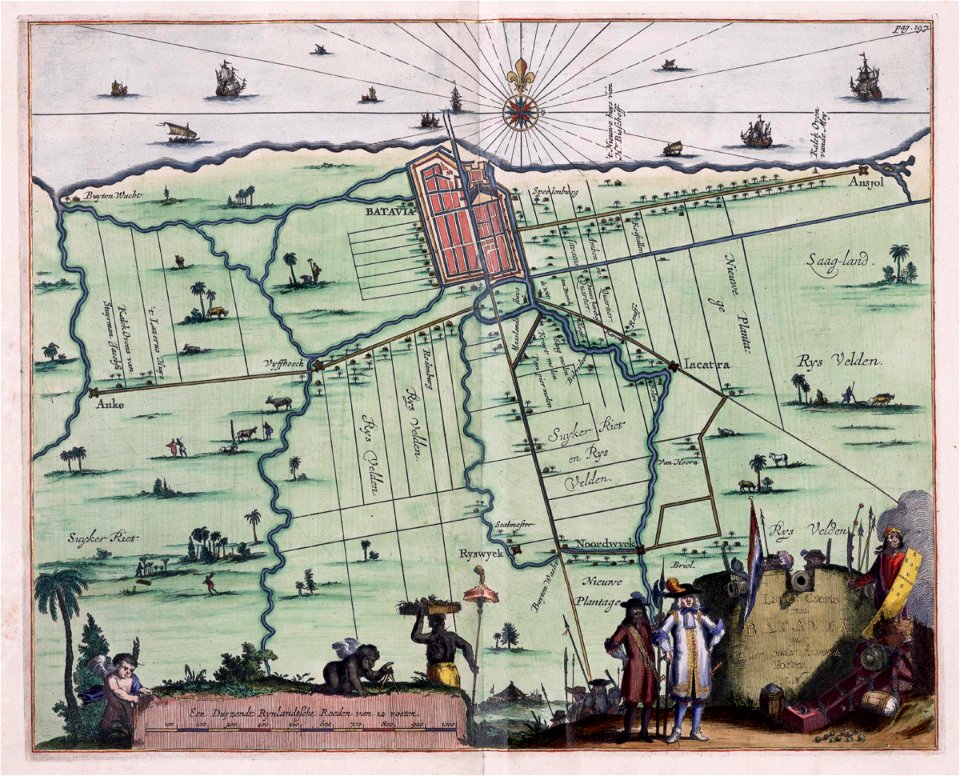
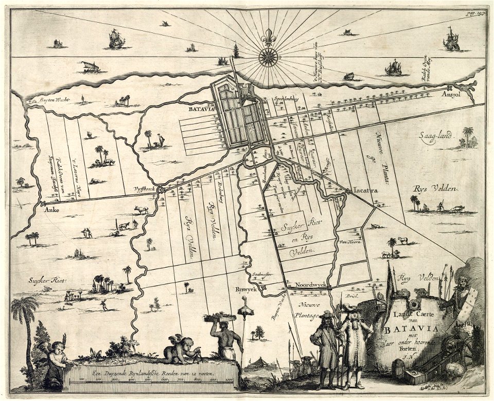
17th-century maps of batavia
koninklijke bibliotheek
johannes vingboons
135th meridian east
tasman map
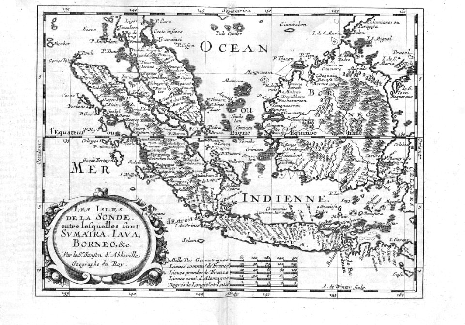
17th-century maps of indonesia
1614
17th-century maps of indonesia
1621
history of indonesia
mataram sultanate
fort victoria (moluccas)
johannes nessel
maps of the dutch east india company - indonesia
old maps of ambon
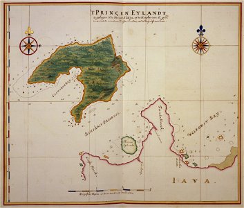
panaitan island
1660s maps
maps by willem and johannes blaeu
17th-century maps of asia
west seram regency
johannes nessel
media from atlas of mutual heritage on dutch east india company
1650s maps of indonesia
zee en lantreize, door verscheide gewesten van oostindien
indonesia in the 1680s
west seram regency
johannes nessel
17th-century maps of southeast asia
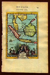
description de l'universe
media from atlas of mutual heritage on dutch east india company
portolan charts by willem and johannes blaeu
maps of the dutch east india company - indonesia
watercolor drawings by johannes vingboons
17th-century maps of southeast asia
description de l'universe
maps of the dutch east india company - indonesia
17th-century maps of bavaria
maps of the dutch east india company - indonesia
17th-century maps of batavia
cartography
maps
moluccas in the 17th century
asia noviter delineata
pacific ocean in art
ships on maps
johannes nessel
batavia castle
maps of the dutch east india company - indonesia
17th-century maps of batavia
media from atlas of mutual heritage on dutch east india company
1669
1 - 24 of 24
/ 1