Log in
All resources
Create a design
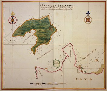
Panaitan Prinseneiland old map by Johannes Vingboons, Johannes Vingboons, between 1665 and 1668
Old map of prinseneiland, today panaitan. Date: between 1665 and 1668.
Download
Edit image
Published by:
Creazilla
Author:
Johannes Vingboons
Source:
commons.wikimedia.org
Loading...
0 downloads
Print it
Copy image
Loading...
panaitan island
1660s maps
watercolor drawings by johannes vingboons
17th-century maps of indonesia
johannes vingboons
MORE LIKE THIS