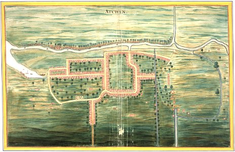
Map of the city of Atjeh, Johannes Vingboons, circa 1665
Title in the leupe catalogue (na): plattegrond van de stad atchin. The illustration shows the city of atchin and its surrounding dirt roads, canals and rivers. Date: circa 1665. Dimensions: height: 62 cm (24.4 in); width: 39.5 cm (15.5 in). Medium: watercolour on paper. Collection: Nationaal Archief. AMH-6131-NA Map of the city of Atjeh