Log in
All resources
Create a design
100 Free Artworks of Old Maps Of Germany
bibliothèque nationale de france
baroque
matthäus merian
copper engraving print
joan blaeu
maps by john cary
john cary
atlas maior, vol 3 (germany) - joan blaeu, 1667 - bl 114.h(star).3
british library
old maps of poland
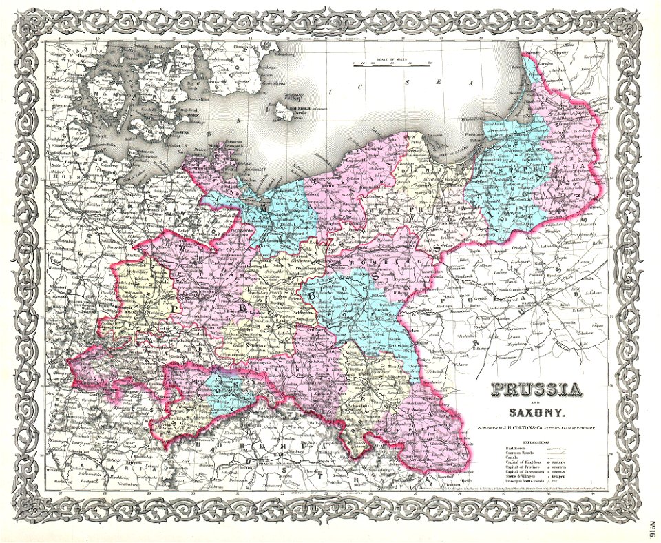
old maps of saxony
1856 maps
old maps of poland
1865 maps
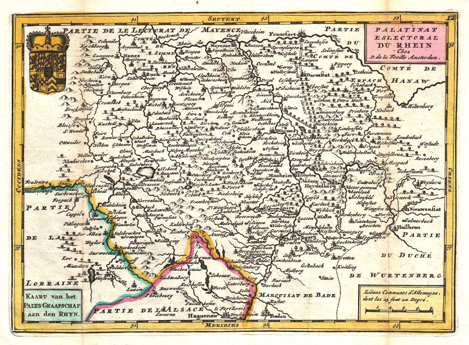
old maps of rhineland-palatinate
old maps of hesse
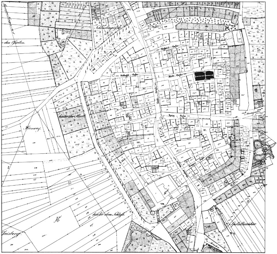
historical images of brackenheim
1835 maps
19th-century maps of lower saxony
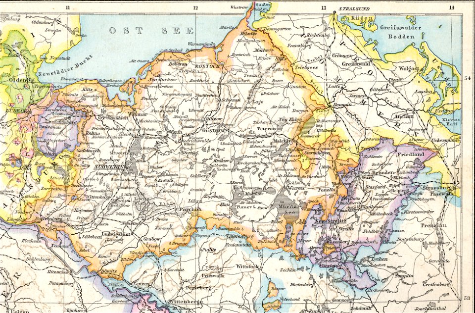
old maps of mecklenburg
old maps of mecklenburg
1880 maps
english-language maps
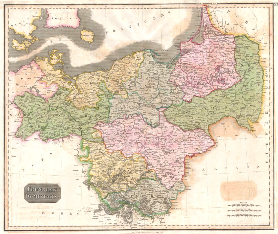
old maps of prussia
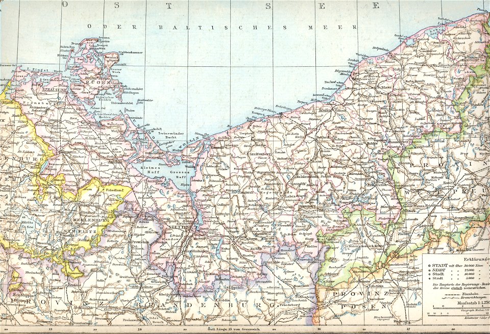
old maps of pomerania province
1880 maps
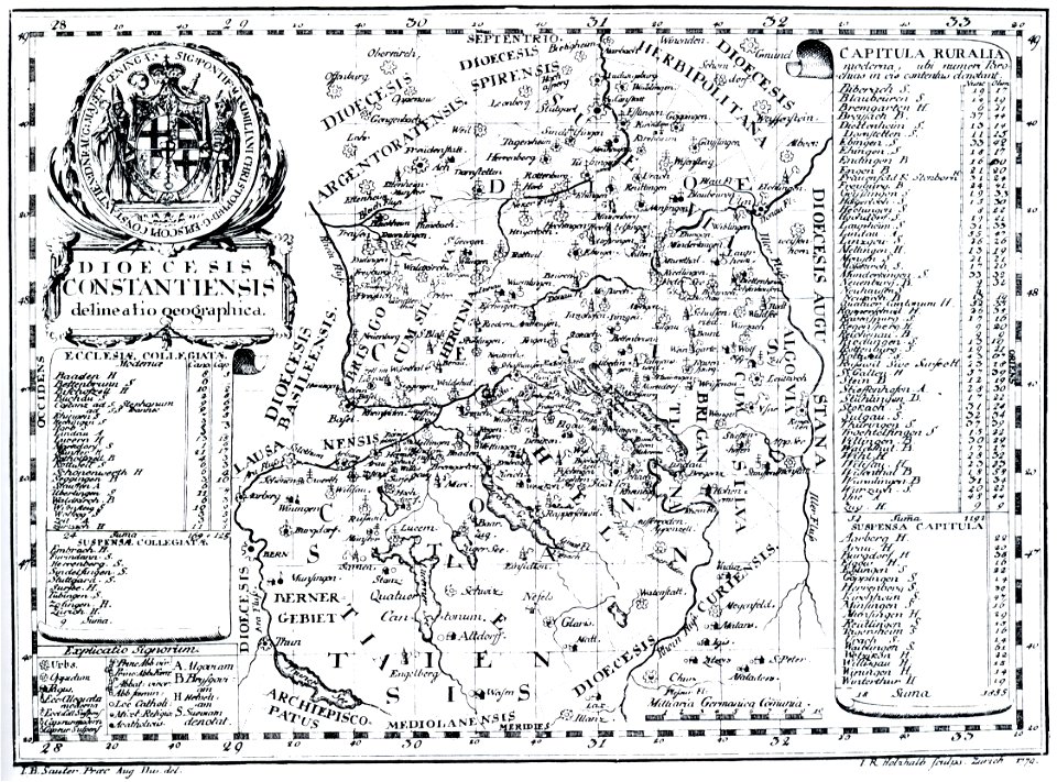
bishopric of constance
1779 in germany
siege of vienna
wien museum
johann baptist homann
1728 maps
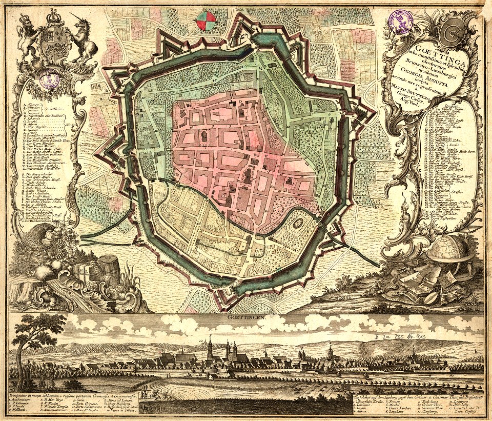
old maps of cities in germany
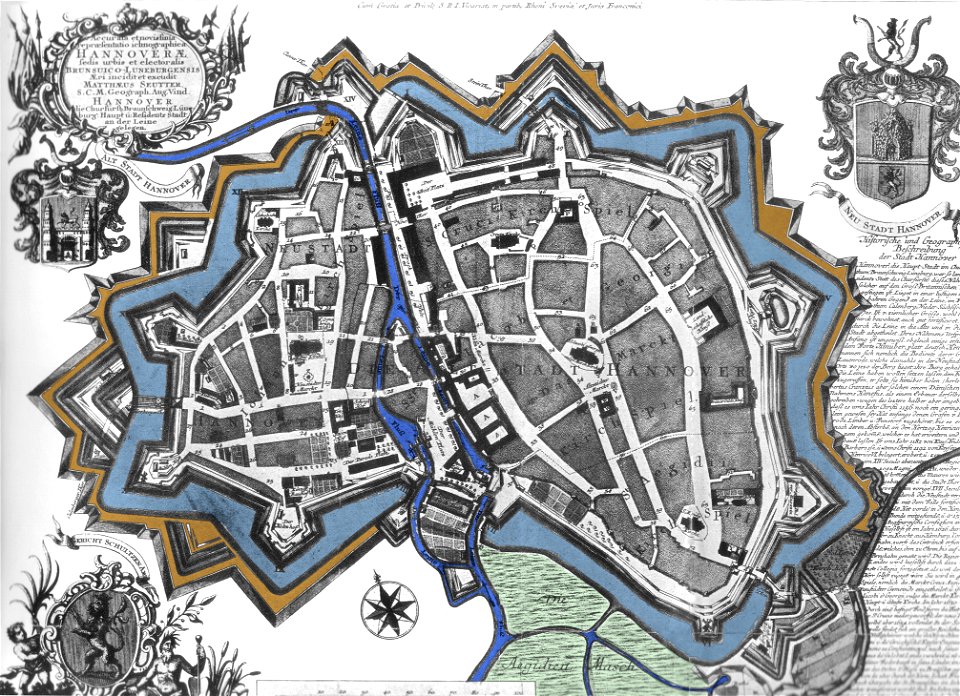
maps by matthäus seutter
johannes ratelband
1747 maps
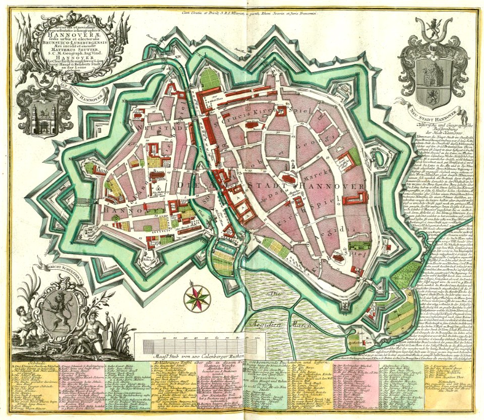
maps by matthäus seutter
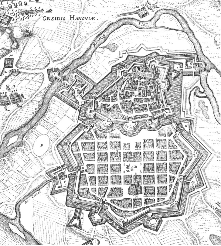
city walls in hannover
old maps of rhineland-palatinate
johannes ratelband
history of hanau
maps of hanau
theodor de bry
amazon
maps with cartouches
old maps of toul
johann baptist homann
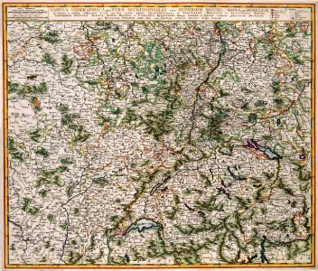
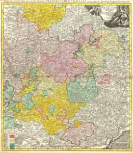
maps of franconia
historic views of cities in germany by matthäus merian
historical images of algiers
collections de la bibliothèque nationale et universitaire de strasbourg
old maps of asia
geographical atlas for the 5-6 grades of secondary school (1941)
old maps of the nazi germany
braunschweig in the 1880s
old maps of braunschweig
gerard valck
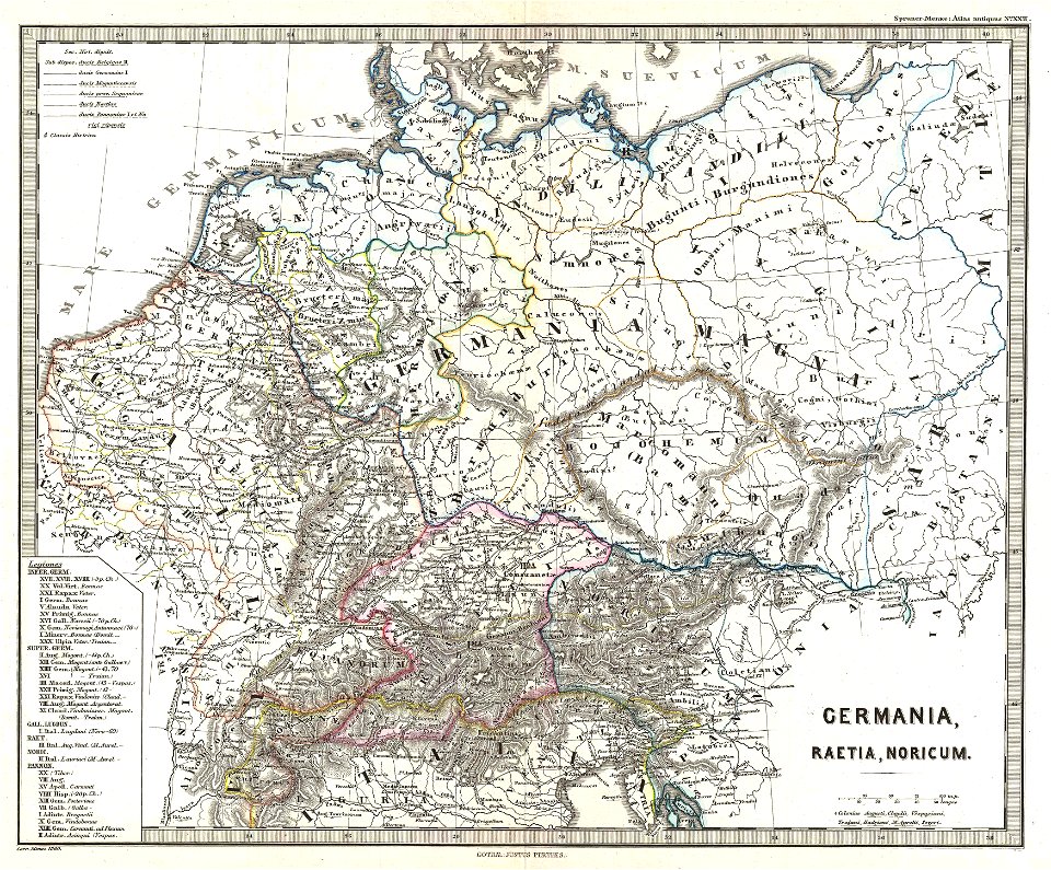
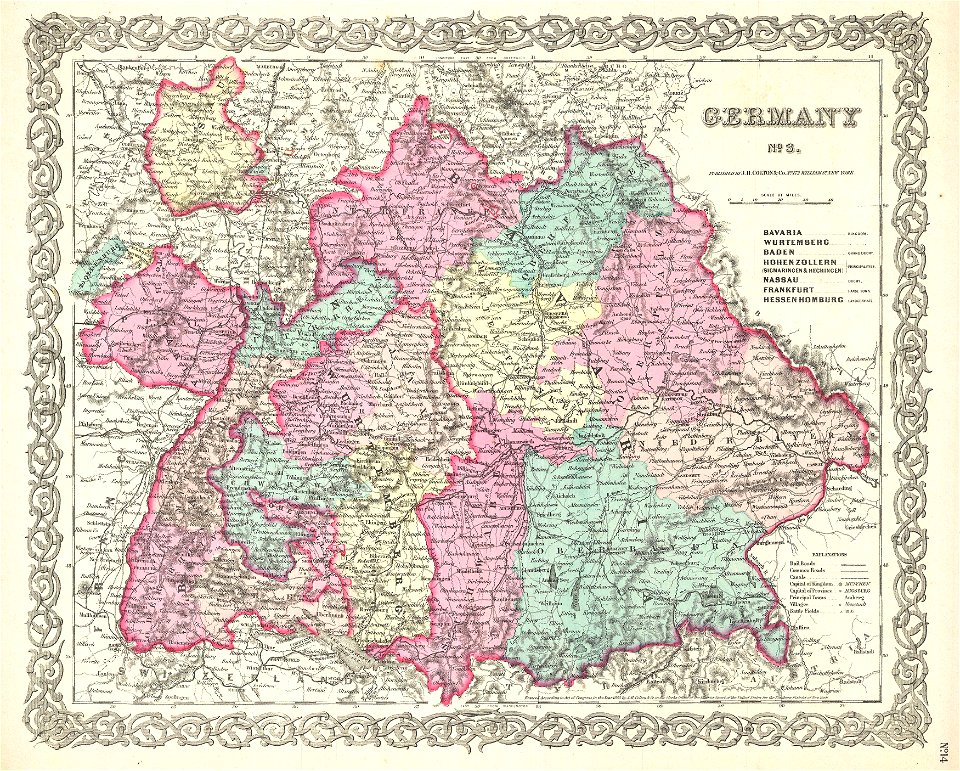
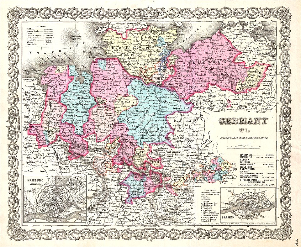
germany
atlantis magni tomus quintus (biblioteca comunale di trento)
maps made in the 18th century
images from akg-images
siege of vienna
battle of the alte veste
1642 works in germany
copper engraving
maps
capture of wesel 1629
büderich (wesel)
copper engraving
1643 engravings
greece
italy
caricatures of wilhelm ii of germany
cornell university library
german empire
east germany
alexander von humboldt
1840s interiors in art
maps by jacques-nicolas bellin
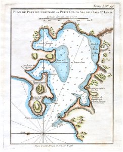
old maps of saint lucia
russo-turkish war (1877–1878) in art
great eastern crisis (1875–78)
maps by cornelis anthonisz.
1560 maps of europe
tourism advertising posters of germany
1935 maps of germany
parts of old maps of hamburg
steintor (hamburg)
daniel friedrich sotzmann
old maps of pomerania
nürnberger reichswald
1559 maps of germany
topographia franconiae (merian)
baroque
maps in cosmographia (münster)
old maps of kempten (allgäu)
maps by john cary
1799 maps
1801 maps of germany
maps by john cary
maps, prints and photographs in royal danish library
old maps of kiel
maps by john cary
1801 maps
maps of moers by johannes mercator
old maps of duisburg
maps by matthäus seutter
kačina
old maps of manhattan, new york city
1851 maps
maps by john cary
1799 maps
collections of the kriminalmuseum rothenburg ob der tauber
old maps of rothenburg ob der tauber
hamburg in topographia saxoniae inferioris (merian)
baroque
old maps of ravenstein, germany
maps made in the 17th century
russo-turkish war (1877–1878) in art
great eastern crisis (1875–78)
topographia westphaliae (merian)
baroque
old maps of freiburg im breisgau
gregorius sickinger
1640s maps of hesse
old maps of nassau
engravings of topographia superioris saxoniae, thüringiae, misniae et lusatiae (merian)
baroque
parts of old maps of bremen
baroque
map of the german empire by louis stanislas d'arcy de la rochette
1780s maps of lithuania
jewish cemetery battonnstraße
fabers belagerungsplan
old maps of piedmont
maps by gerard valck
geometrischer grundriss von frankfurt am mayn (1811)
maps of frankfurt-innenstadt
atlas maior, vol 3 (germany) - joan blaeu, 1667 - bl 114.h(star).3
old maps of moravia
maps by alexis-hubert jaillot
maps by guillaume sanson
atlas maior, vol 3 (germany) - joan blaeu, 1667 - bl 114.h(star).3
maps by wolfgang lazius
1704 works in germany
old maps of ulm
atlas maior, vol 3 (germany) - joan blaeu, 1667 - bl 114.h(star).3
johannes gigas
atlas maior, vol 3 (germany) - joan blaeu, 1667 - bl 114.h(star).3
johannes gigas
maps by john cary
1799 maps
maps by alexis-hubert jaillot
maps by guillaume sanson
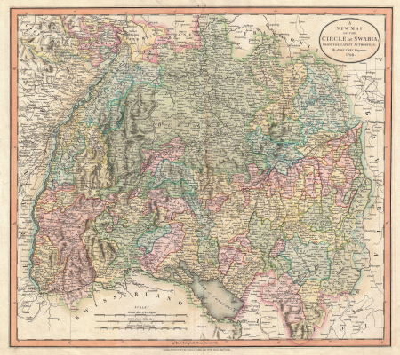
old maps of swabia
maps by john cary
old maps of westphalia
johannes gigas
old maps of westphalia
bindenschild
celeberrimi fluvii albis nova delineatio by willem janszoon blaeu
old maps of germany from deutsche fotothek
maps by jodocus hondius
old maps of nassau
géographie générale; physique, politique et économique (1876)
1870s maps of germany
atlas maior, vol 3 (germany) - joan blaeu, 1667 - bl 114.h(star).3
johannes gigas
a treatise on ore deposits (1896)
1890s maps of saxony
unidentified locations in germany
a treatise on ore deposits (1896)
1750s maps of saxony
old maps of leipzig
landkreis eichsfeld in the 17th century
maps from gallica
lehen (freiburg im breisgau)
baroque
maps from the earth and its inhabitants, vol. iii
old maps of bonn
old maps of regensburg
baroque
maps by alexis-hubert jaillot
old maps of duchy of cleves
atlas maior, vol 3 (germany) - joan blaeu, 1667 - bl 114.h(star).3
old maps of upper austria
maps by alexis-hubert jaillot
old maps of duchy of cleves
history of schwäbisch hall
baroque
maps by jakob van der schley
old maps of stralsund
old maps of emmerich am rhein
baroque
david rumsey historical map collection
old maps of the holy roman empire
old maps of the polish-lithuanian commonwealth
1790s maps of poland
cartography and geographical illustrations of the wehrmacht
trondheim in the 1940s
old maps of duchy of cleves
guillaume sanson
prints by jan luyken in the rijksmuseum amsterdam
maps in the rijksmuseum amsterdam
old maps of mainz
baroque
dutch 17th-century prints in the rijksmuseum amsterdam
capture of brielle
maps in the rijksmuseum amsterdam
old maps of germany
1 - 100 of 100
/ 1