Log in
All resources
Create a design
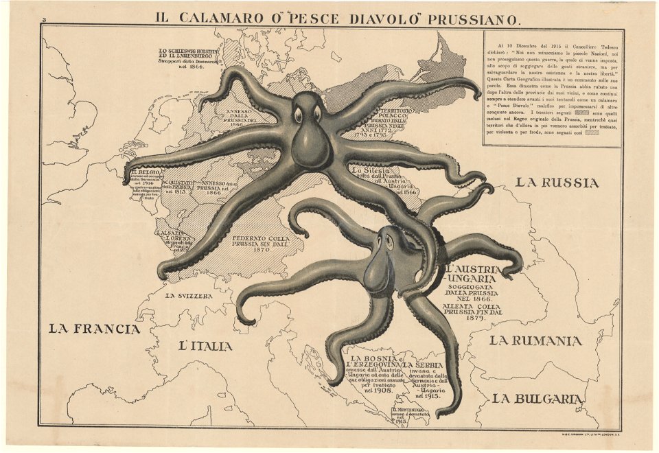
24 Free Artworks of Old Maps Of Prussia
maps from the mechanical curator collection
maps from the mechanical curator collection available to georeference
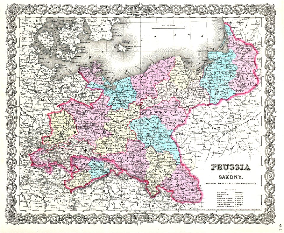
1869 maps
im auschluss an zehn historische karten übersichtlich dargestellt von fix w.
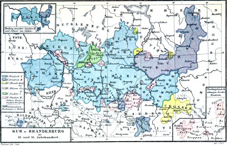
die territorialgeschichte des brandenburgisch preussischen staates
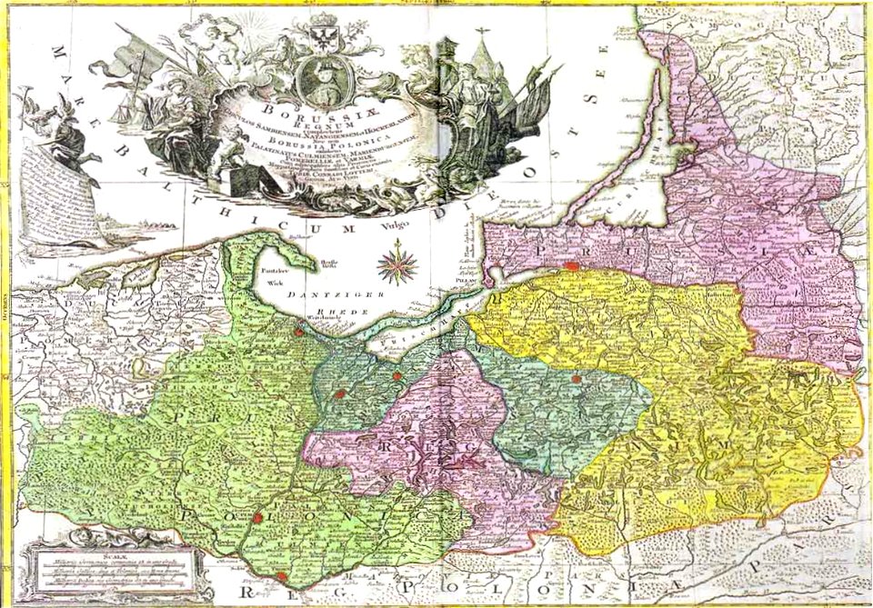
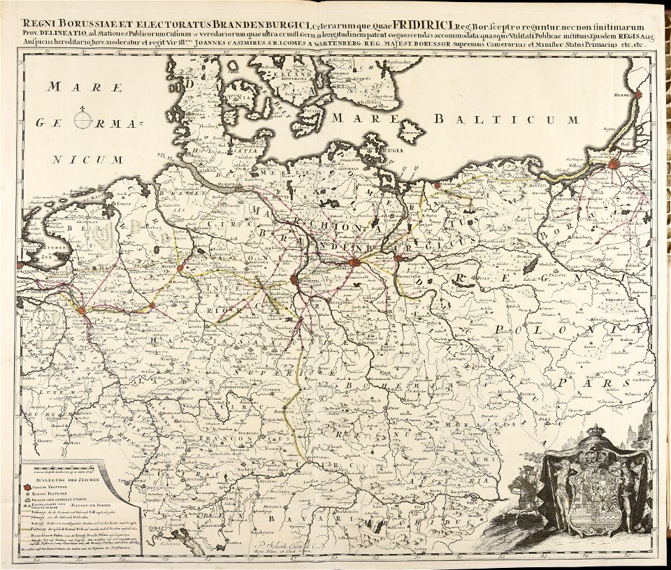
18th-century maps of prussia
atlas van der hagen
atlas van der hagen (volume 1)
english-language maps of europe
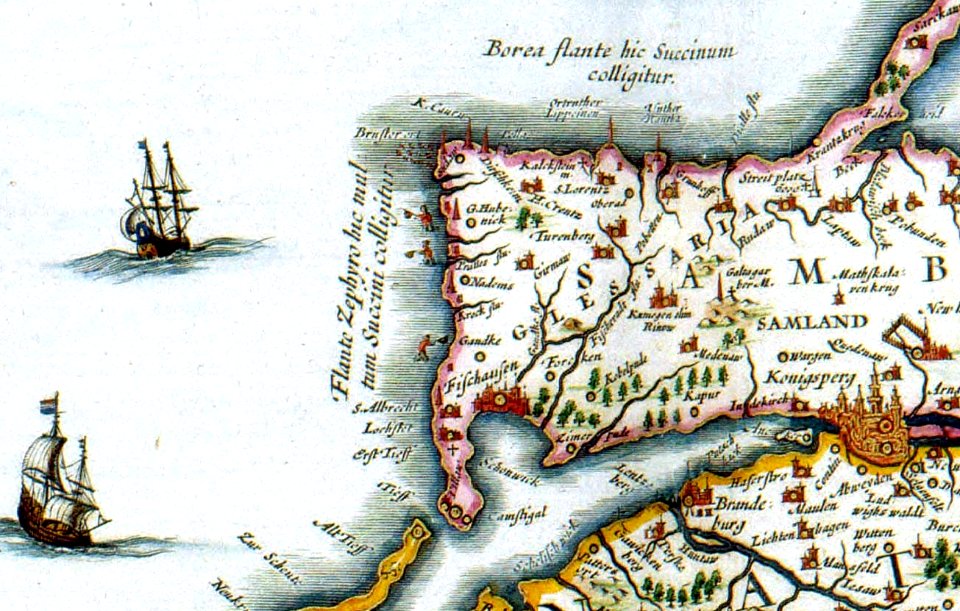
old maps of east prussia
old maps of saxony
1856 maps
english-language maps
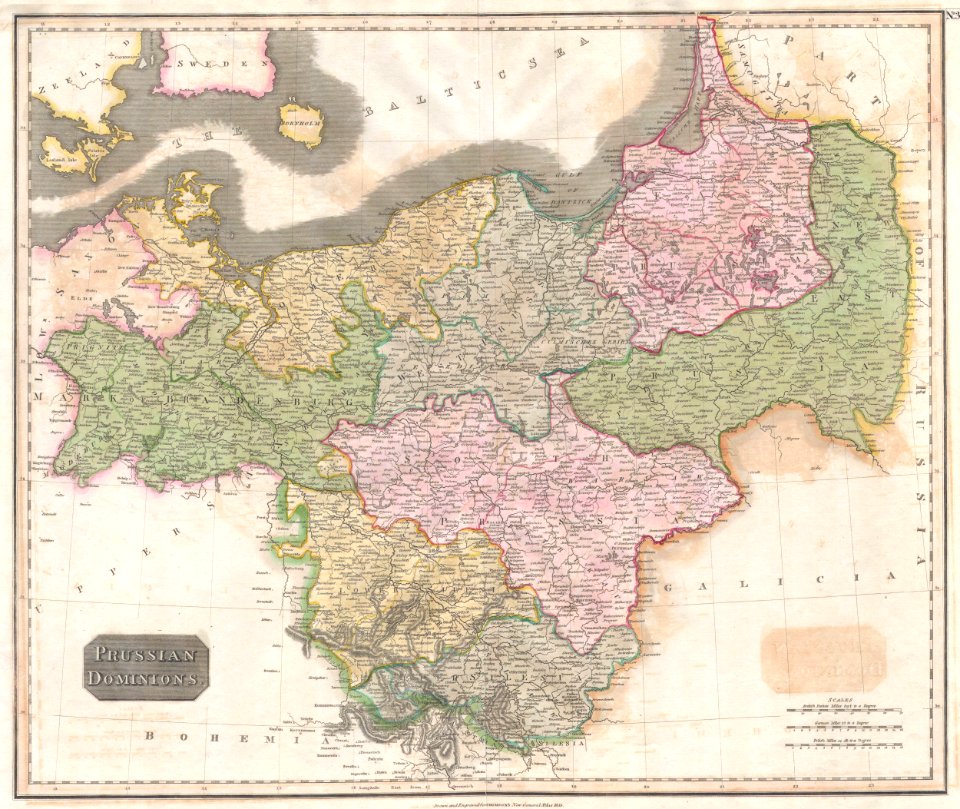
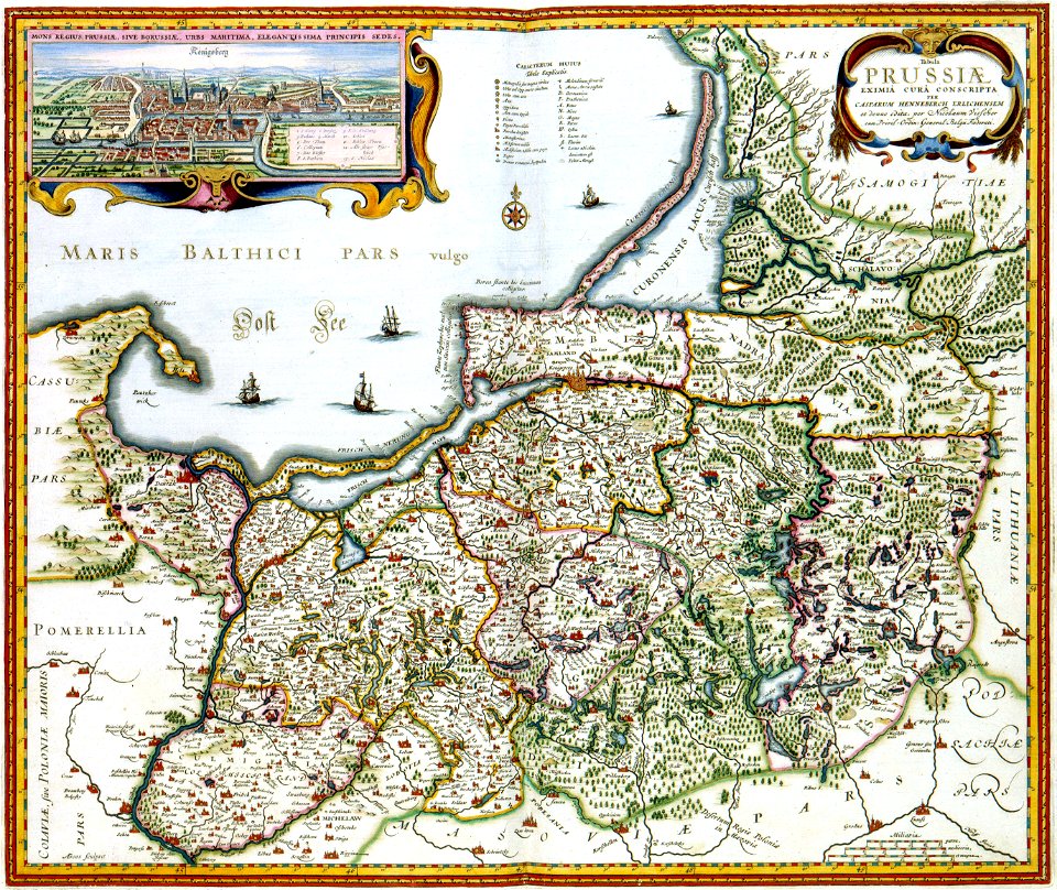
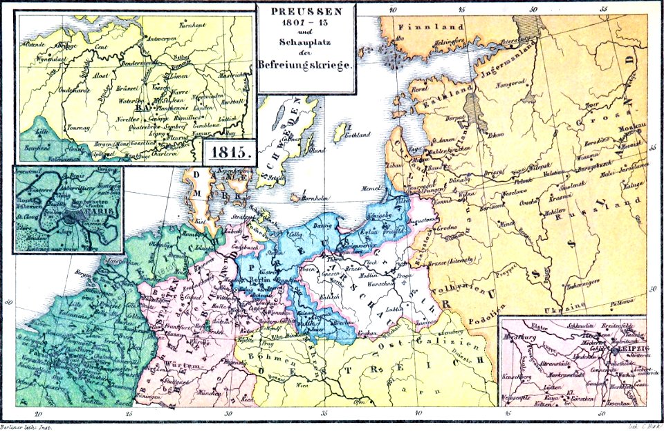
old maps of prussia
maps of 18th-century europe
latin-language maps
atlas van der hagen
copper engraving
old maps of austria-hungary
austro-hungarian army
atlas van der hagen
copper engraving
atlantis magni tomus quintus (biblioteca comunale di trento)
maps made in the 18th century
maps from the mechanical curator collection
old maps of prussia
maps from the mechanical curator collection
old maps of prussia
maps from the mechanical curator collection
old maps of prussia
maps from the mechanical curator collection
old maps of prussia
german empire
east germany
maps by john cary
1799 maps
old maps of the polish-lithuanian commonwealth
17th-century maps of prussia
maps by john cary
1799 maps
old maps of the polish-lithuanian commonwealth
1790s maps of poland
map of the german empire by louis stanislas d'arcy de la rochette
1780s maps of lithuania
johann david schleuen
old maps of prussia
grenzkarte der preussischen, russischen und oestreichischen monarchien (1796)
18th-century maps of prussia
grenzkarte der preussischen, russischen und oestreichischen monarchien (1796)
maps of kovno governorate
grenzkarte der preussischen, russischen und oestreichischen monarchien (1796)
maps of pomerania province
david rumsey historical map collection
old maps of the holy roman empire
august kneisel
atlases
thomas onwhyn
britannia
1 - 24 of 24
/ 1