Log in
All resources
Create a design
15 Free Artworks of Old Maps Of Kiel
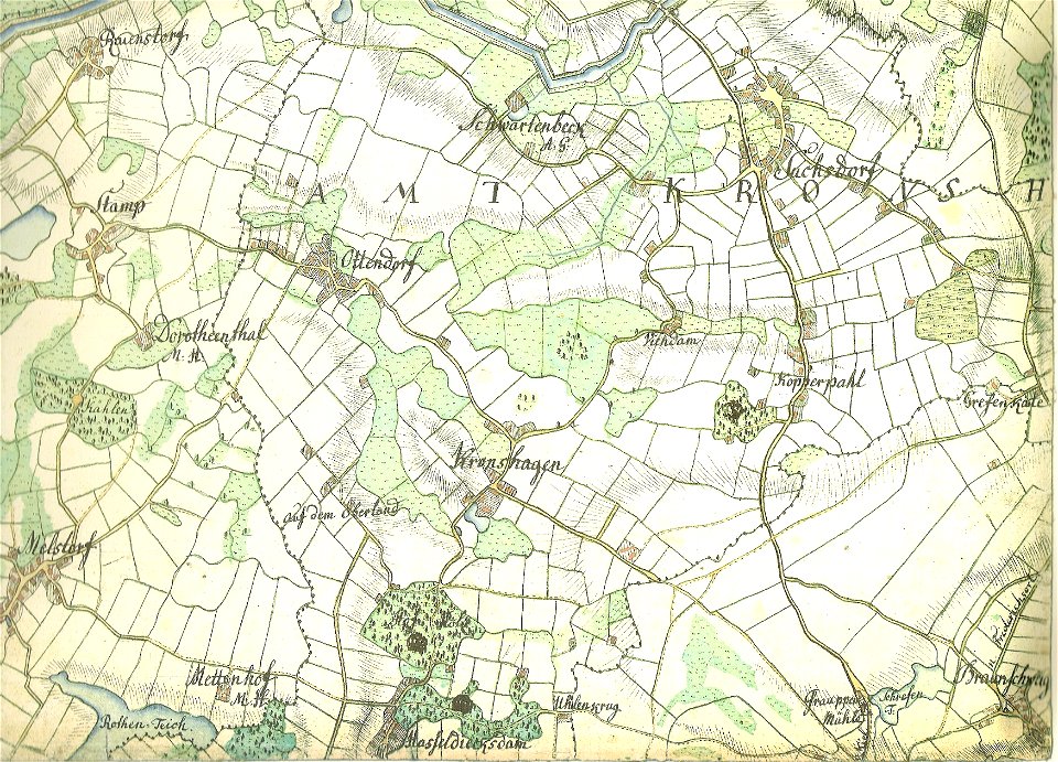
18th-century maps of schleswig-holstein
maps by gustav adolf von varendorf
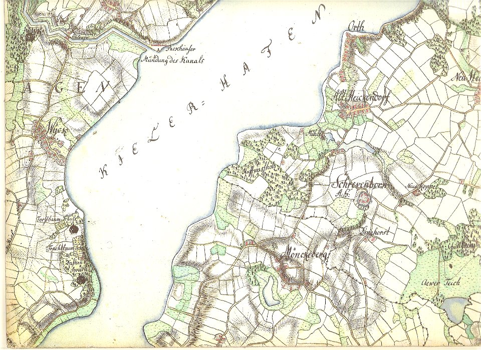
kieler hafen als künftiger kriegshafen
kiel fjord
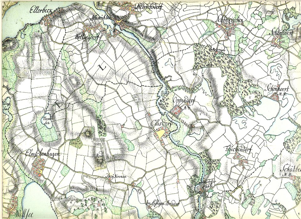
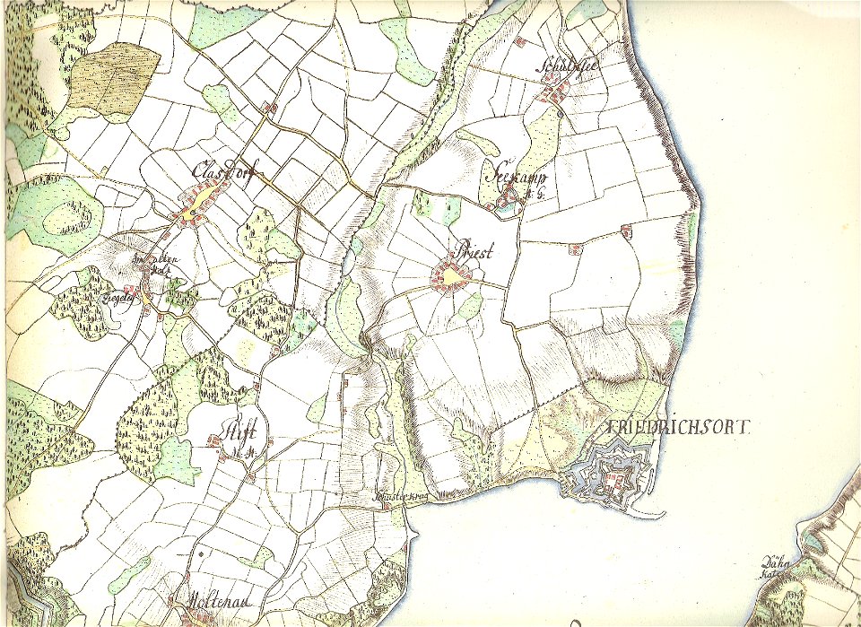
18th-century maps of schleswig-holstein
maps by gustav adolf von varendorf
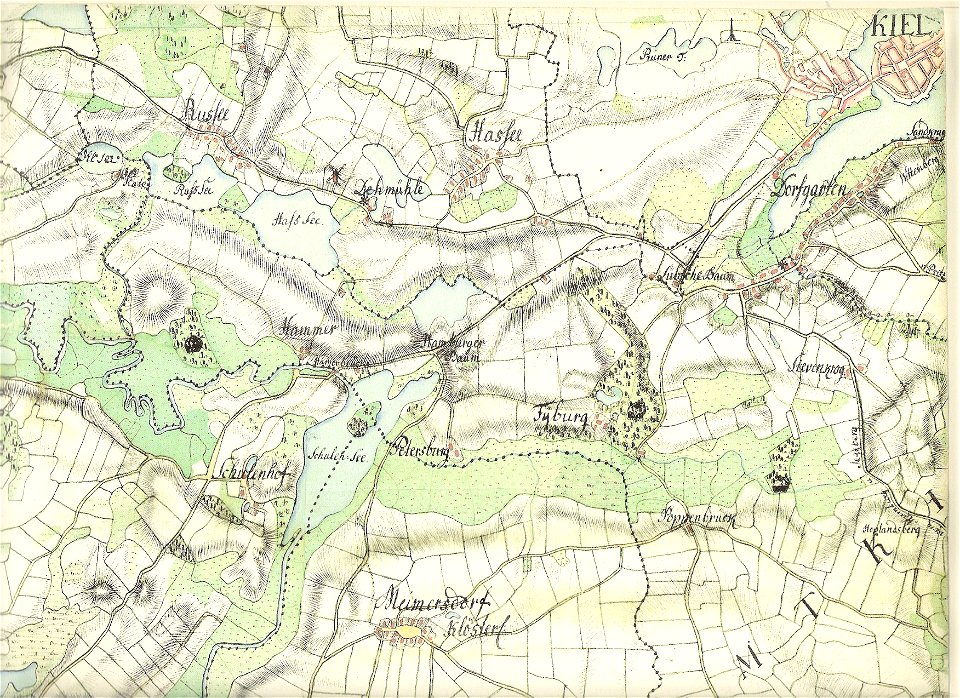
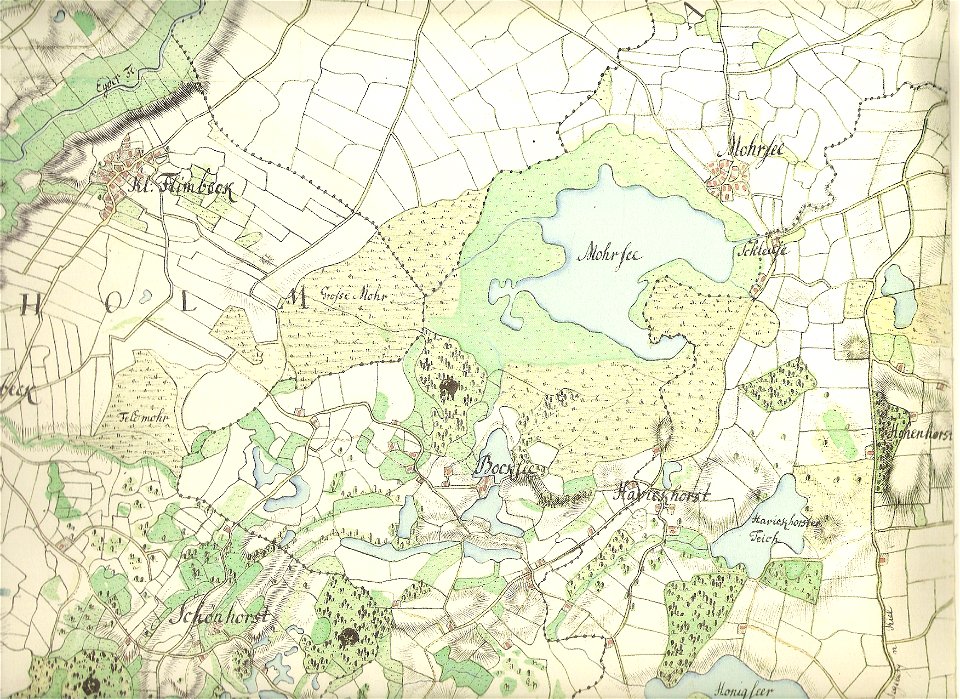
18th-century maps of schleswig-holstein
maps by gustav adolf von varendorf
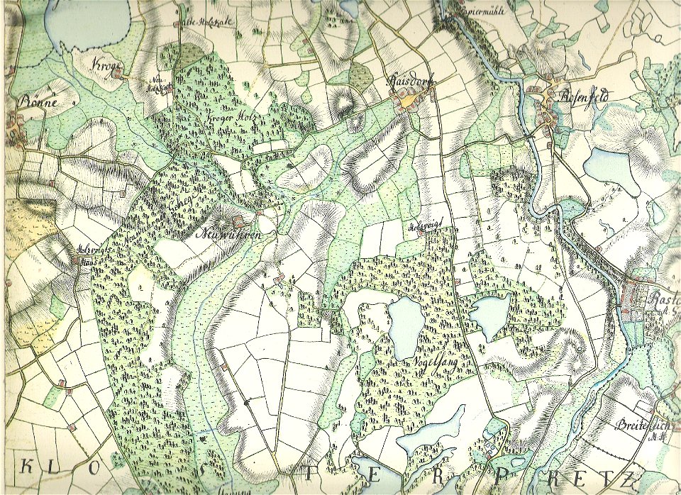
18th-century maps of schleswig-holstein
maps by gustav adolf von varendorf
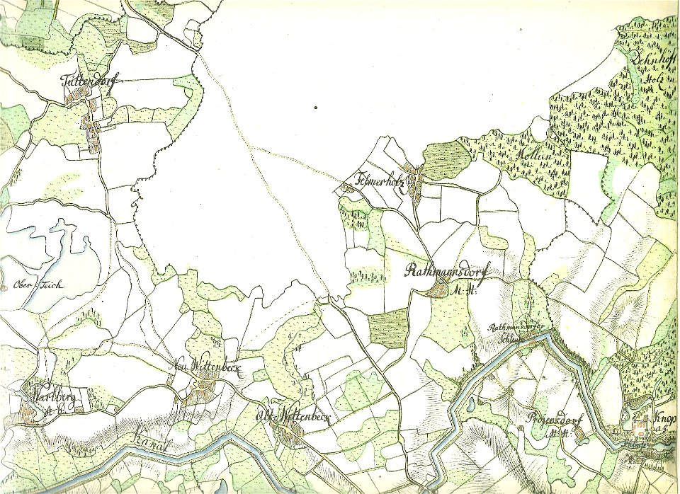
18th-century maps of schleswig-holstein
maps by gustav adolf von varendorf
18th-century maps of schleswig-holstein
maps by gustav adolf von varendorf
18th-century maps of schleswig-holstein
maps by gustav adolf von varendorf
18th-century maps of schleswig-holstein
maps by gustav adolf von varendorf
18th-century maps of schleswig-holstein
maps by gustav adolf von varendorf
maps, prints and photographs in royal danish library
old maps of kiel
nova & accurata ducatuum slesvici et holsatiae tabula
old maps of kiel
kieler hafen als künftiger kriegshafen
old maps of kiel
kieler hafen als künftiger kriegshafen
old maps of kiel
kieler hafen als künftiger kriegshafen
old maps of kiel
maps of the kiel canal
old maps of kiel
kieler hafen als künftiger kriegshafen
old maps of kiel
1 - 15 of 15
/ 1