Log in
All resources
Create a design
150 Free Artworks of 1851 Maps
english-language maps
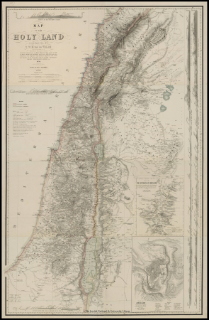
1858 van de velde maps of palestine and jerusalem
eran laor cartographic collection
charles william meredith van de velde
1858 maps
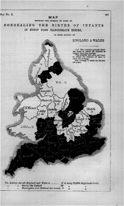
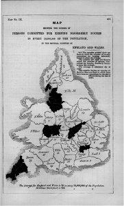
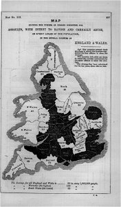
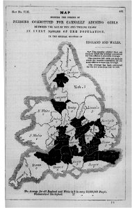
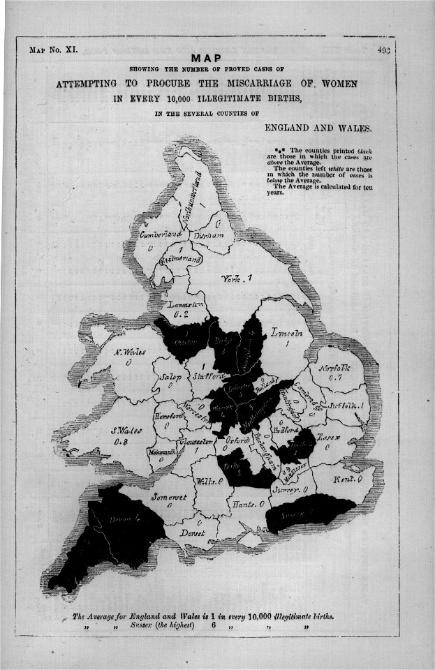
maps in london labour and the london poor (1851)
science
period
smithsonian libraries
smithsonian contributions to knowledge v.2 (1851)
james william edmund doyle
owen bailey
maps in the library of congress
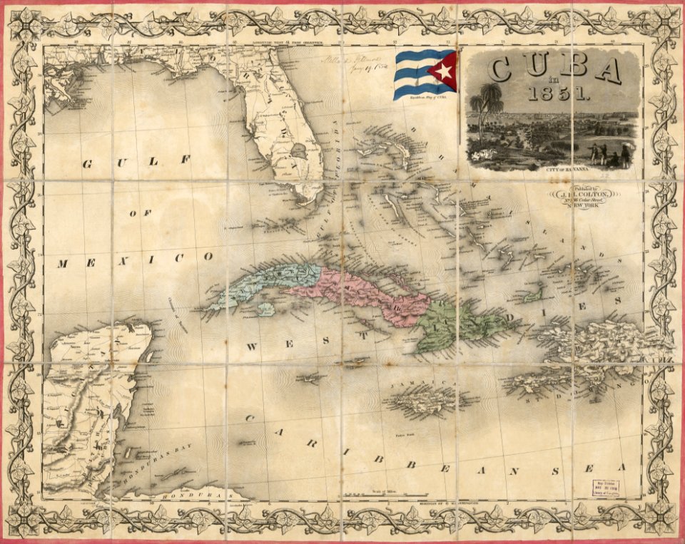
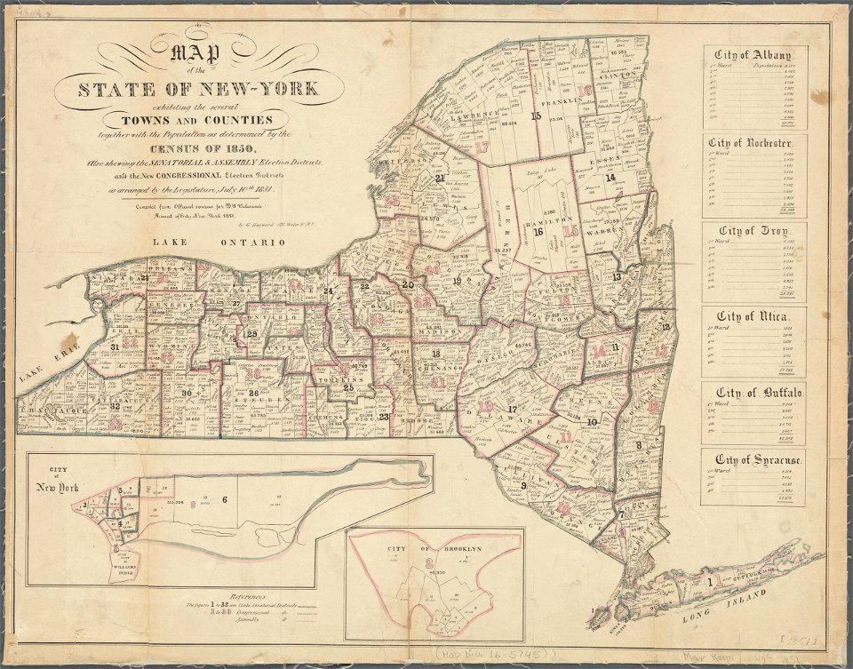
1851 maps
maps in the library of congress
1851 maps
maps of del norte county, california
1866 maps of california
images from the new york public library
george hayward
19th-century maps of tibet
1850s maps of china
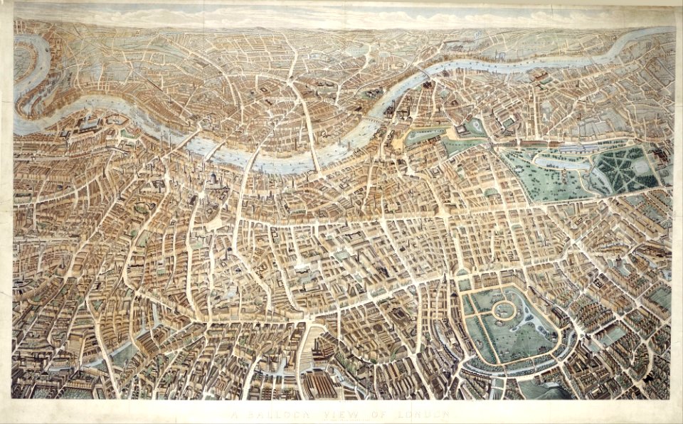
old maps of london
pictorial maps
maps in london labour and the london poor (1851)
maps in london labour and the london poor (1851)
maps in london labour and the london poor (1851)
maps in london labour and the london poor (1851)
maps in london labour and the london poor (1851)
maps in london labour and the london poor (1851)
old maps of marseille
maps in london labour and the london poor (1851)
maps in london labour and the london poor (1851)
maps in london labour and the london poor (1851)
maps in london labour and the london poor (1851)
edward lear
maps in london labour and the london poor (1851)
maps in london labour and the london poor (1851)
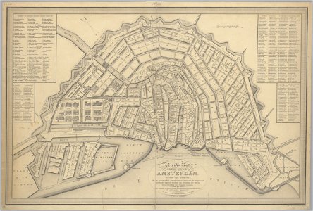
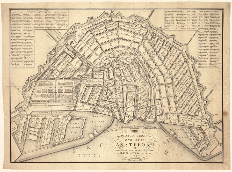
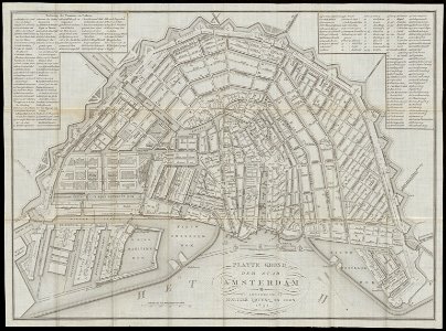
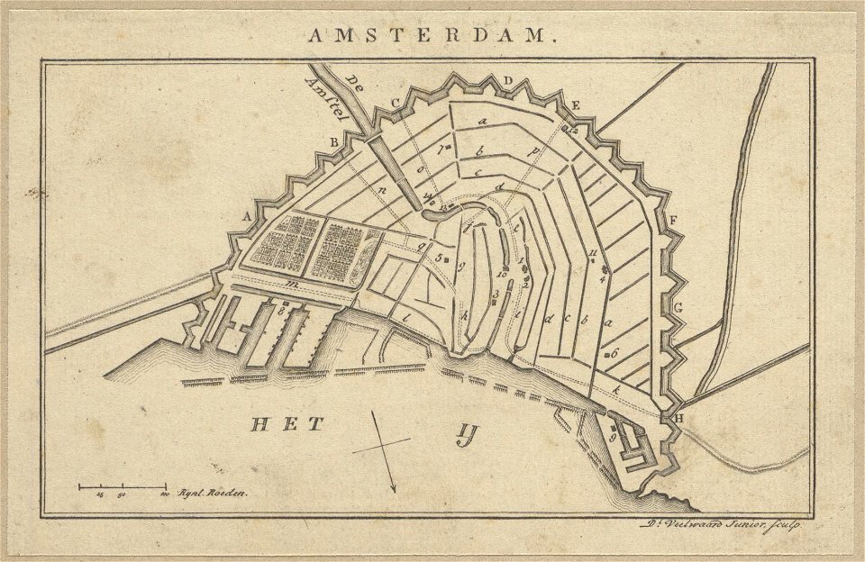
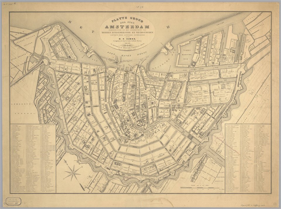
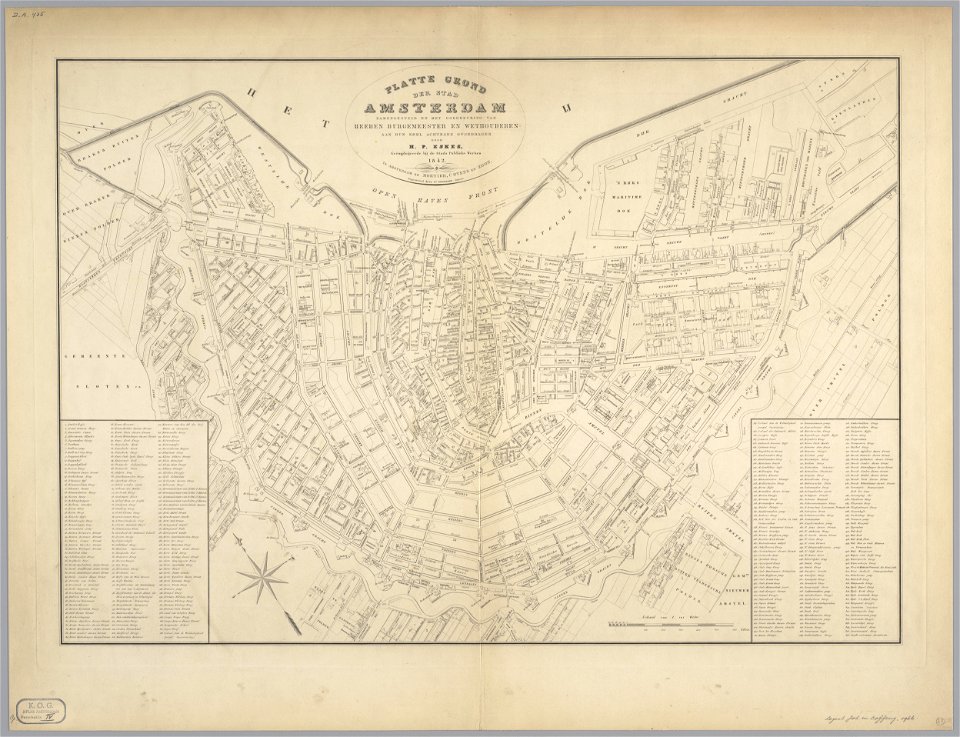
maps in the stadsarchief amsterdam
old maps of amsterdam
maps in london labour and the london poor (1851)
maps in london labour and the london poor (1851)
maps in london labour and the london poor (1851)
maps in the stadsarchief amsterdam
daniël veelwaard (i)
maps in the stadsarchief amsterdam
daniël veelwaard (i)
maps in the stadsarchief amsterdam
daniël veelwaard (i)
maps in the stadsarchief amsterdam
daniël veelwaard (i)
maps in the stadsarchief amsterdam
daniël veelwaard (i)
maps in the stadsarchief amsterdam
daniël veelwaard (i)
maps in the stadsarchief amsterdam
daniël veelwaard (i)
maps in the stadsarchief amsterdam
daniël veelwaard (i)
maps in the stadsarchief amsterdam
daniël veelwaard (i)
maps in the stadsarchief amsterdam
daniël veelwaard (i)
maps in the stadsarchief amsterdam
daniël veelwaard (i)
19th-century maps of china
richard jarman
history paintings by jan matejko
portraits of nicolaus copernicus
old maps of manhattan, new york city
1851 maps
old maps of manhattan, new york city
1851 maps
maps by henry winkles
maps by john rapkin
gloucester, massachusetts, in the 19th century
1851 maps of massachusetts
racial type portraits
racial maps
1857 maps of illinois
1850s maps of chicago
gloucester, massachusetts, in the 19th century
massachusetts in the 1850s
history paintings by jan matejko
portraits of nicolaus copernicus
maps from the mechanical curator collection
balaton albuma (1851) by szerelmey
crystal palace in hyde park
victorian architecture
maps in the library of congress
1851 maps of new york (state)
1858 van de velde maps of palestine and jerusalem
1850s maps of lebanon
maps from the mechanical curator collection available to georeference
maps from the mechanical curator collection
portraits by charles-philippe larivière
neoclassicism
maps of edinburgh by braun & hogenberg
18th-century maps of scotland
charles william meredith van de velde
eran laor cartographic collection
tinted lithographs in the british museum
victorian architecture
tinted lithographs in the british museum
victorian architecture
the war between the united states and mexico illustrated
maps of the mexican-american war
print room of the university of antwerp
lithographs of antwerp
james reynolds (publisher)
john emslie
drawings by james mcneill whistler in the metropolitan museum of art
aestheticism
1850s maps of the americas
maps by john tallis
portrait of george washington by giuseppe perovani
1790s maps of washington, d.c.
drawings by james mcneill whistler in the metropolitan museum of art
aestheticism
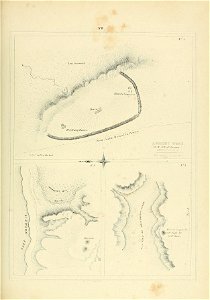
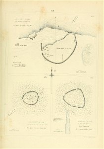
admiralty charts 2001-2200
westport, county mayo
maps of abbaye de la sauve majeure
léo drouyn
1858 van de velde maps of palestine and jerusalem
eran laor cartographic collection
19th-century oil paintings of landscapes in norway
catharine hermine kølle
victorian architecture
1850s maps of london
science
maps
science
maps
19th-century maps of the eastern mediterranean
maps of saint paul's journeys
science
maps
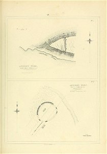
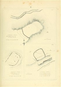
1858 van de velde maps of palestine and jerusalem
eran laor cartographic collection
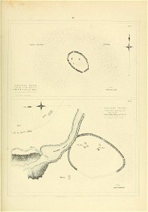
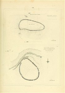
1858 van de velde maps of palestine and jerusalem
eran laor cartographic collection
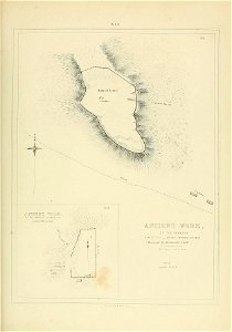
1858 van de velde maps of palestine and jerusalem
eran laor cartographic collection
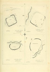
1858 van de velde maps of palestine and jerusalem
eran laor cartographic collection
1858 van de velde maps of palestine and jerusalem
eran laor cartographic collection
1858 van de velde maps of palestine and jerusalem
eran laor cartographic collection
1858 van de velde maps of palestine and jerusalem
eran laor cartographic collection
1858 van de velde maps of palestine and jerusalem
eran laor cartographic collection
1858 van de velde maps of palestine and jerusalem
eran laor cartographic collection
1858 van de velde maps of palestine and jerusalem
eran laor cartographic collection
1858 van de velde maps of palestine and jerusalem
eran laor cartographic collection
1858 van de velde maps of palestine and jerusalem
eran laor cartographic collection
1858 van de velde maps of palestine and jerusalem
eran laor cartographic collection
1858 van de velde maps of palestine and jerusalem
eran laor cartographic collection
1858 van de velde maps of palestine and jerusalem
eran laor cartographic collection
science
maps
science
maps
science
maps
science
maps
science
maps
science
maps
nypl general research division
voyage en perse
science
maps
science
maps
science
maps
science
maps
science
maps
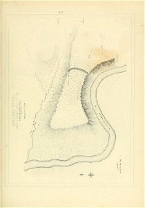
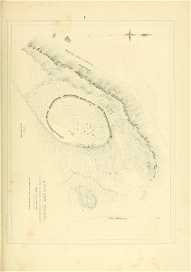
van de velde, 1857
gaza city in art
1 - 100 of 150
Next page
/ 2

![A literary party at Sir Joshua Reynolds', James William Edmund Doyle, 1851[1]](https://cdn.creazilla.com/illustrations/10001566600/a-literary-party-at-sir-joshua-reynolds-james-william-edmund-doyle-18511.jpg)