Log in
All resources
Create a design
548 Free Artworks of 1865 Maps
david rumsey historical map collection
christian gottfried daniel stein
german-language maps
karl spruner von merz
gemeente atlas van nederland - south holland
1860s maps of south holland
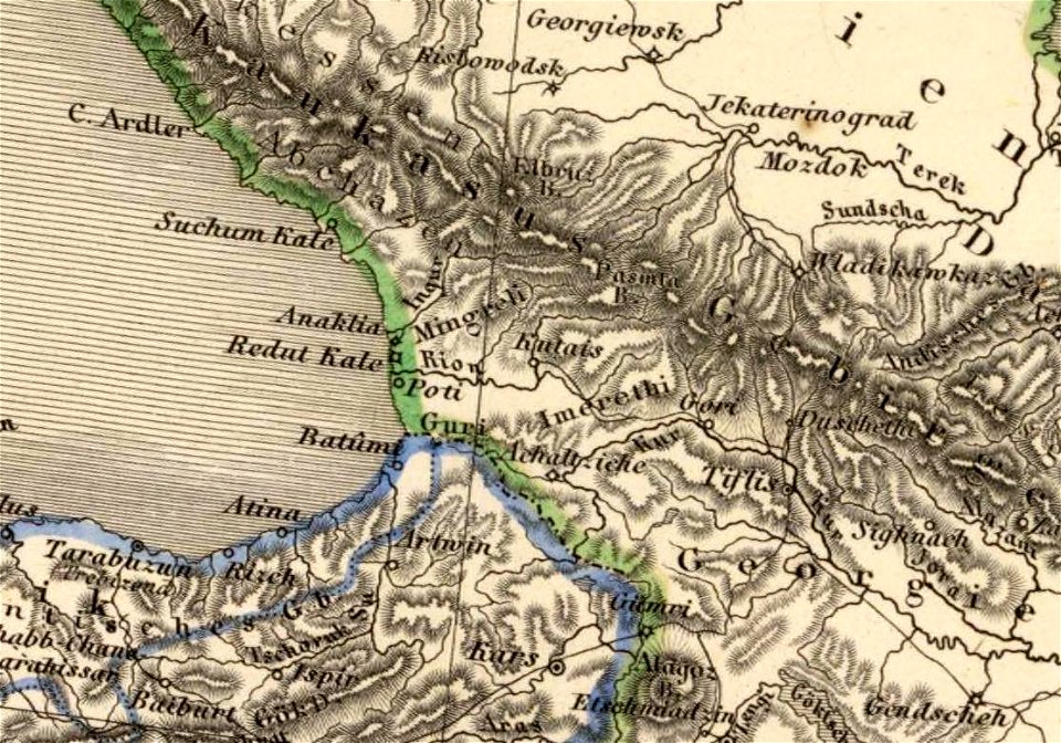
1865 maps of georgia
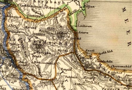
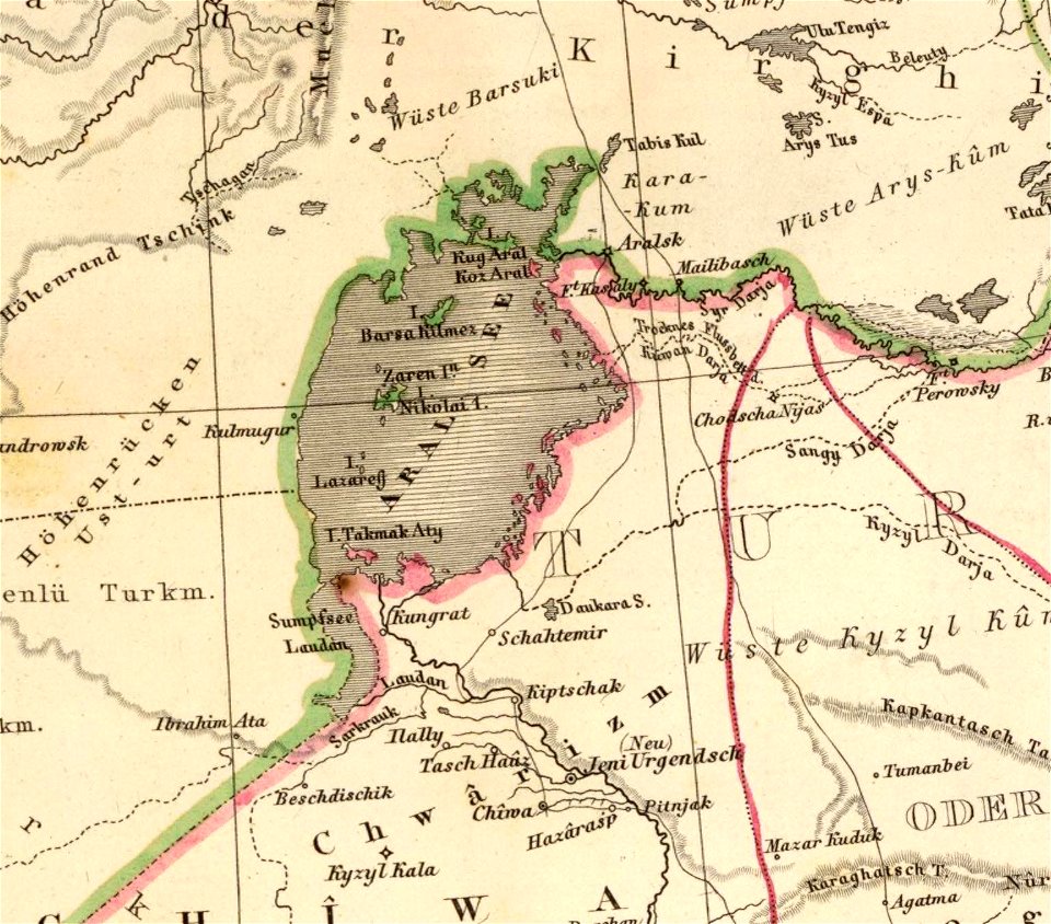
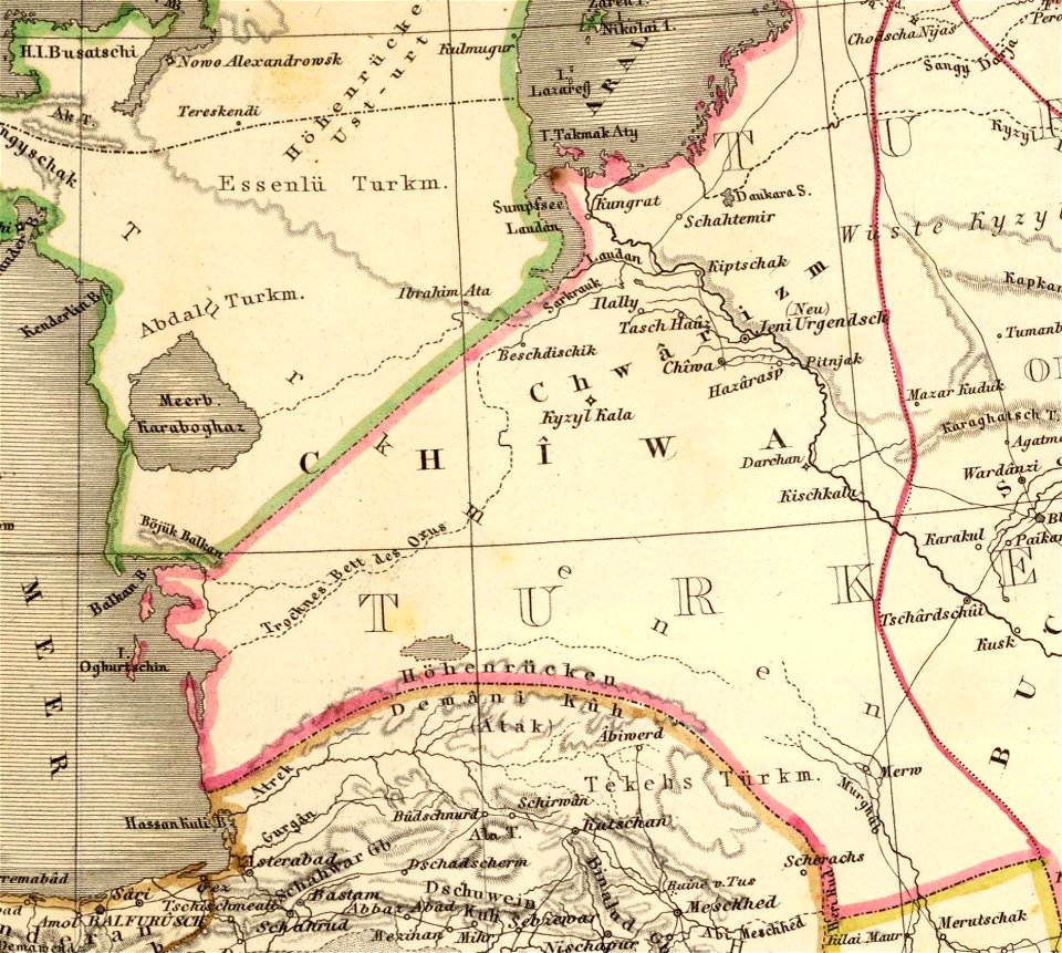
1865 maps of azerbaijan
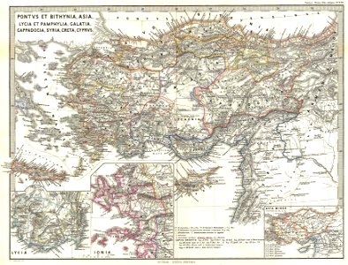
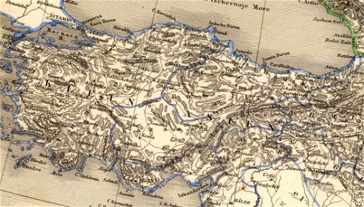
1865 maps of turkey
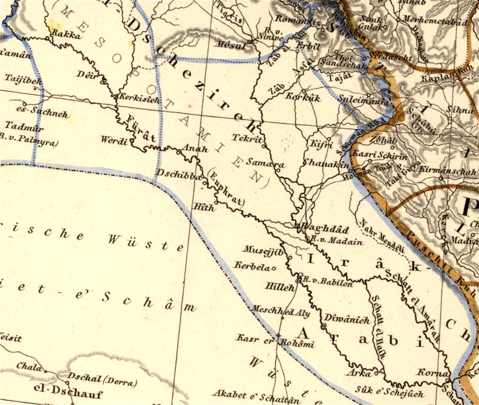
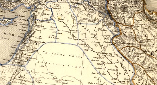
old maps of mesopotamia
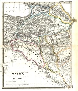
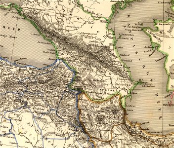
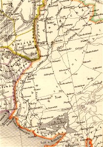
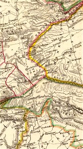
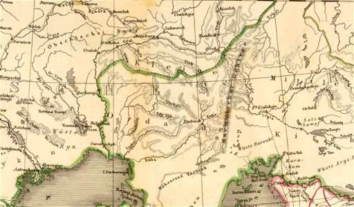
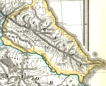
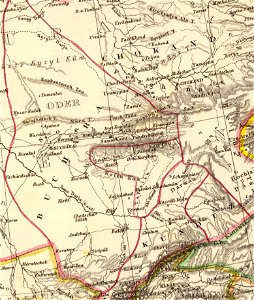
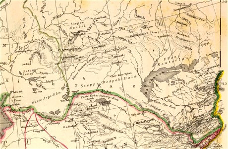
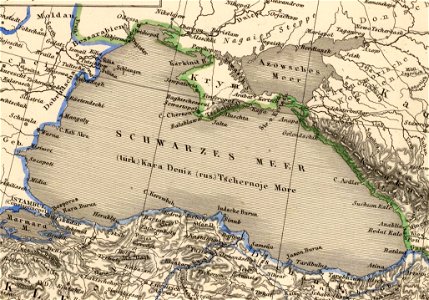
19th-century maps of the caucasus
karl spruner von merz
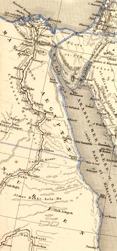
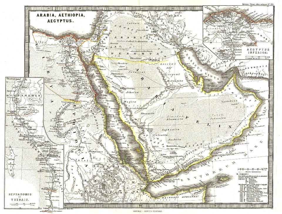
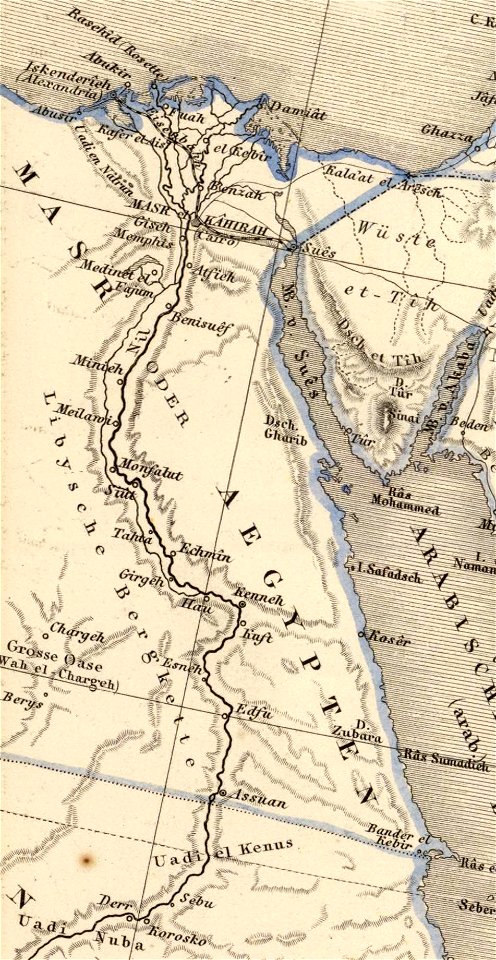
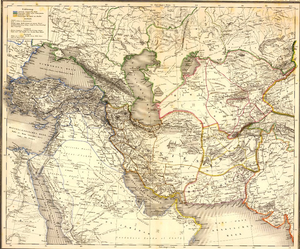
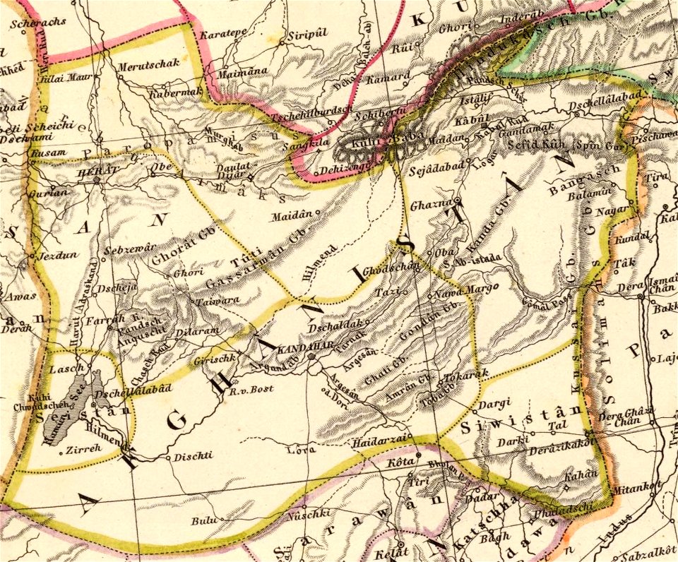
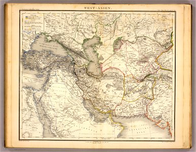
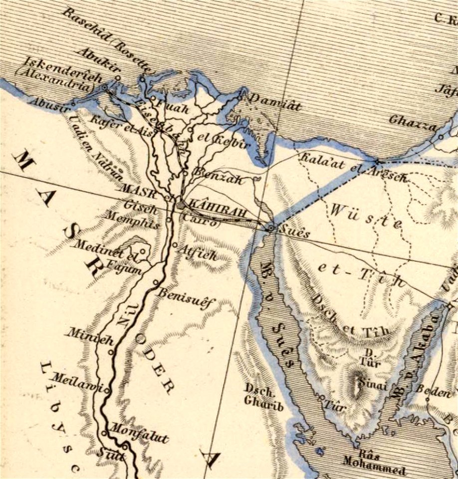
old maps of the middle east
maps of canaan
david rumsey historical map collection
german-language maps
david rumsey historical map collection
german-language maps
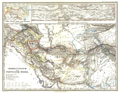
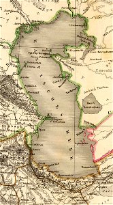
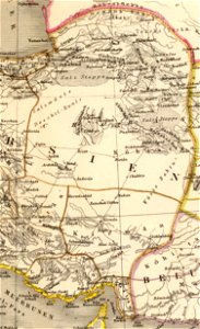
maps of ancient persia
karl spruner von merz
karl spruner von merz
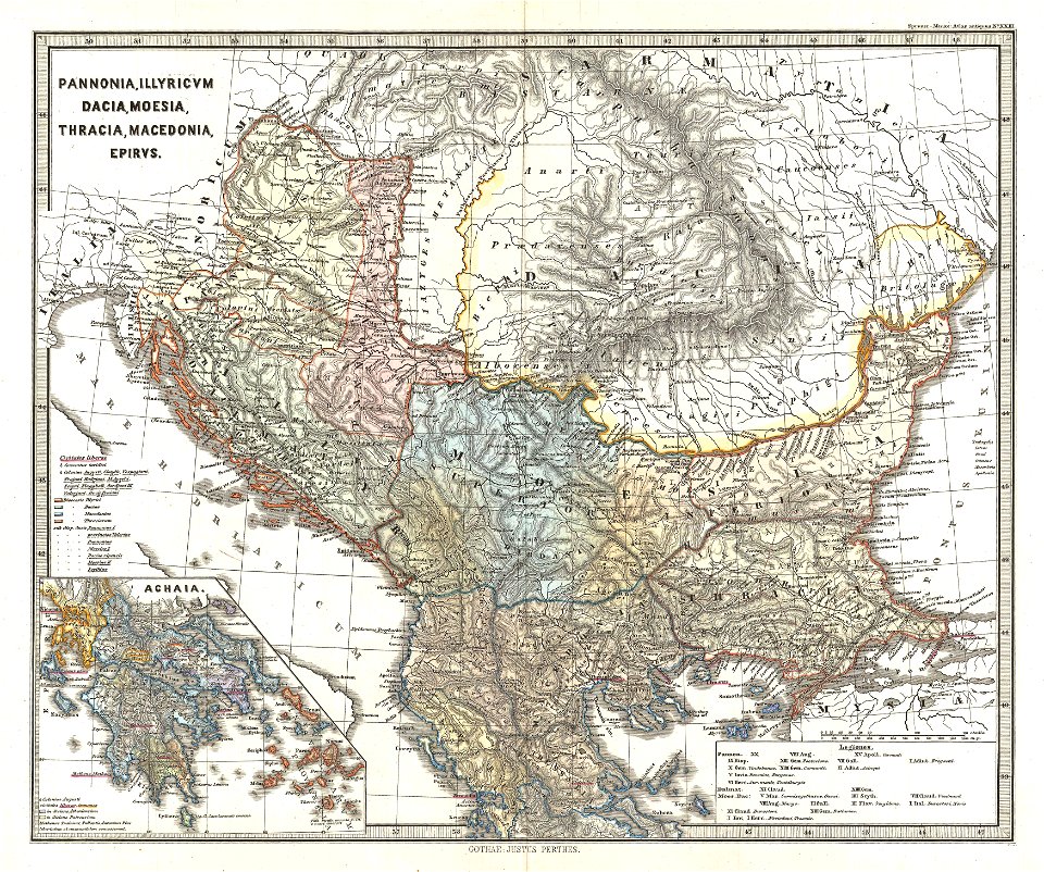
1865 maps of europe
karl spruner von merz
1865 maps of europe
19th-century maps of the caucasus
karl spruner von merz
david rumsey historical map collection
german-language maps
david rumsey historical map collection
german-language maps
karl spruner von merz
1865 maps
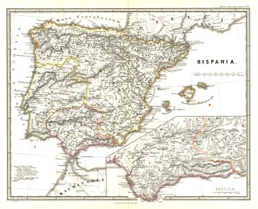
old maps of the iberian peninsula
1865 maps
david rumsey historical map collection
german-language maps
david rumsey historical map collection
german-language maps
old maps of the middle east
karl spruner von merz
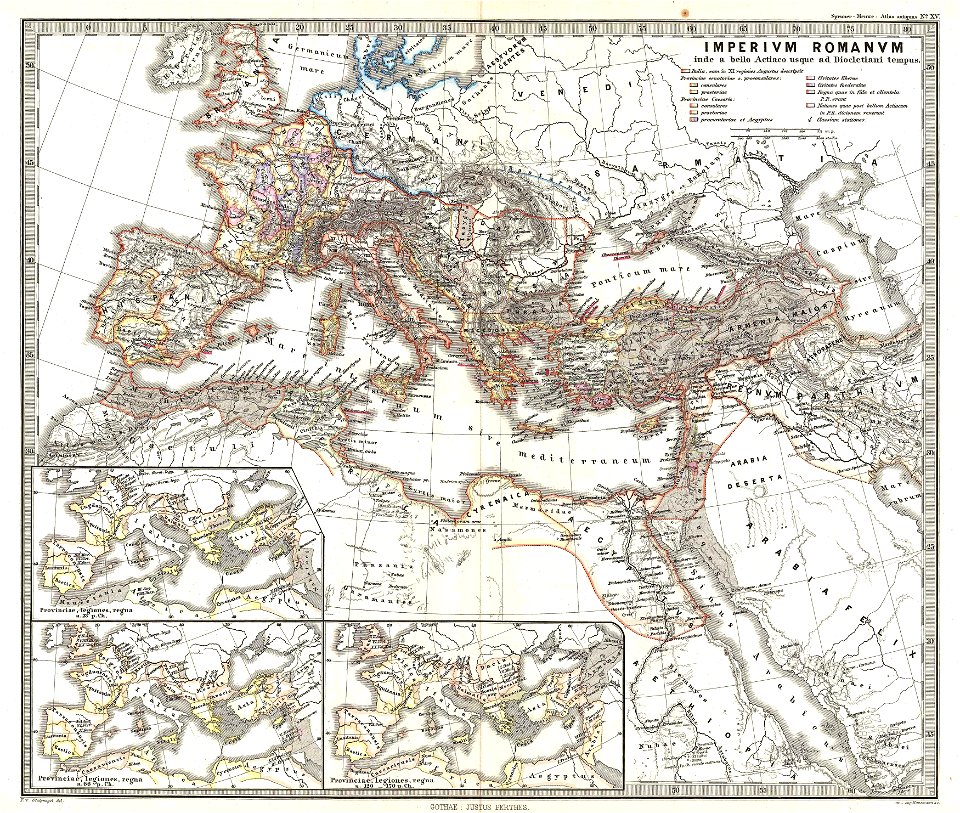
old maps of the roman empire
1865 maps
1860s maps of palestine
1865 maps
old maps of the roman empire
1865 maps
david rumsey historical map collection
german-language maps
david rumsey historical map collection
german-language maps
david rumsey historical map collection
german-language maps
old maps of turkey
1865 maps
david rumsey historical map collection
german-language maps
david rumsey historical map collection
german-language maps
david rumsey historical map collection
german-language maps
david rumsey historical map collection
german-language maps
administrative history of france
latin-language maps
david rumsey historical map collection
german-language maps
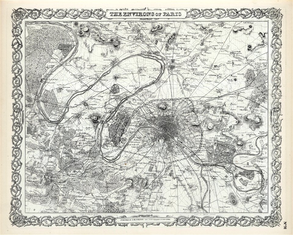
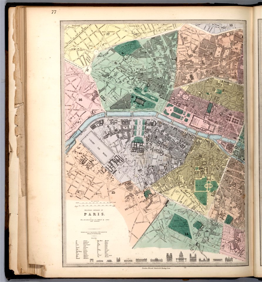
1865 in paris
1865 maps
19th-century maps of the mediterranean sea
1865 maps
karl spruner von merz
1865 maps
karl spruner von merz
1865 maps
old maps of poland
1865 maps
19th-century maps of the mediterranean sea
1865 maps
19th-century maps of africa
1865 maps
old maps of the british isles
karl spruner von merz
david rumsey historical map collection
german-language maps
1865 in paris
1865 maps
karl spruner von merz
1865 maps
karl spruner von merz
old maps of sardinia
david rumsey historical map collection
old maps of asia
david rumsey historical map collection
german-language maps
david rumsey historical map collection
german-language maps
david rumsey historical map collection
german-language maps
david rumsey historical map collection
german-language maps
david rumsey historical map collection
german-language maps
david rumsey historical map collection
german-language maps
david rumsey historical map collection
german-language maps
david rumsey historical map collection
old maps of the middle east
old maps of ancient rome (city)
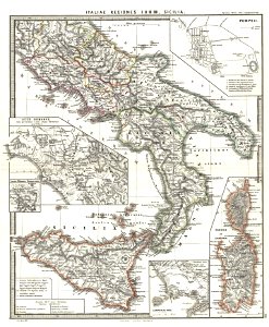
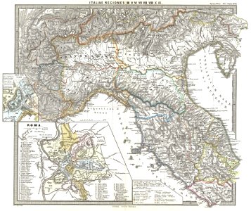
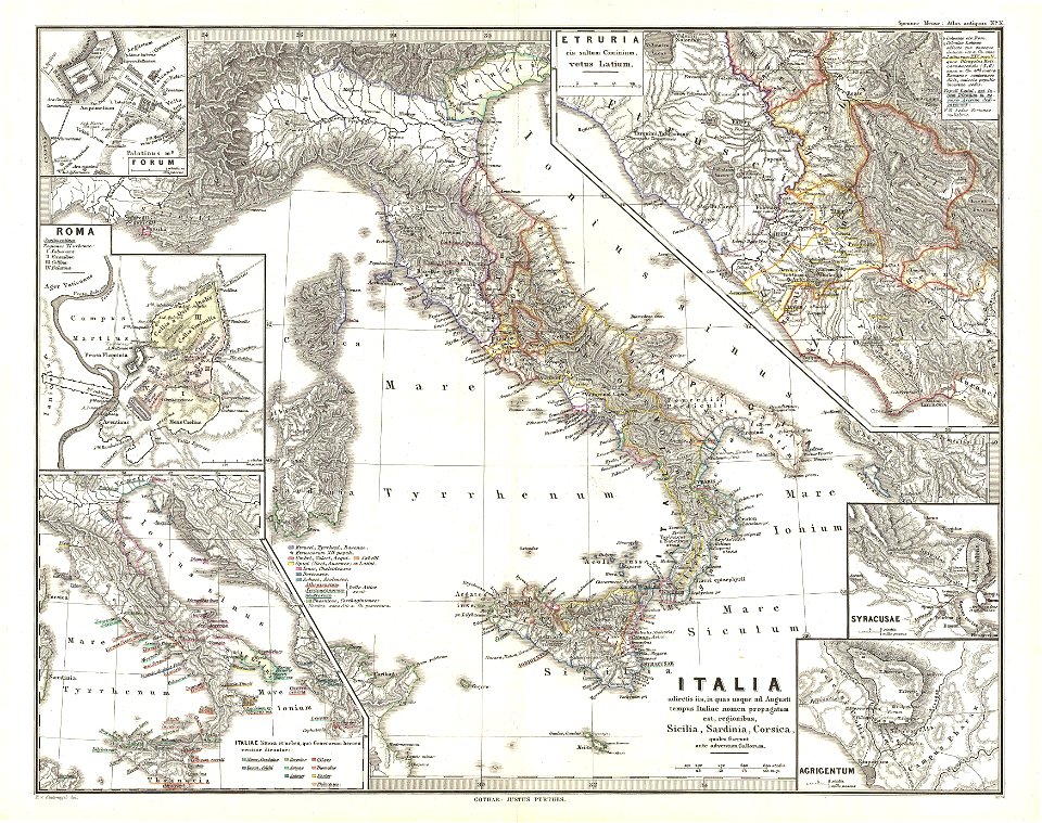
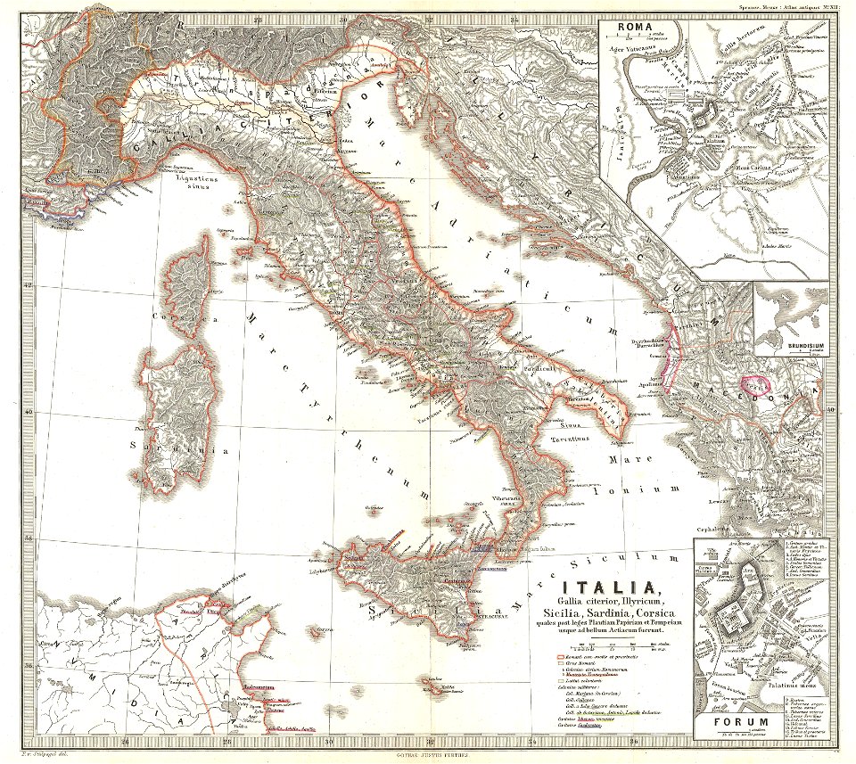
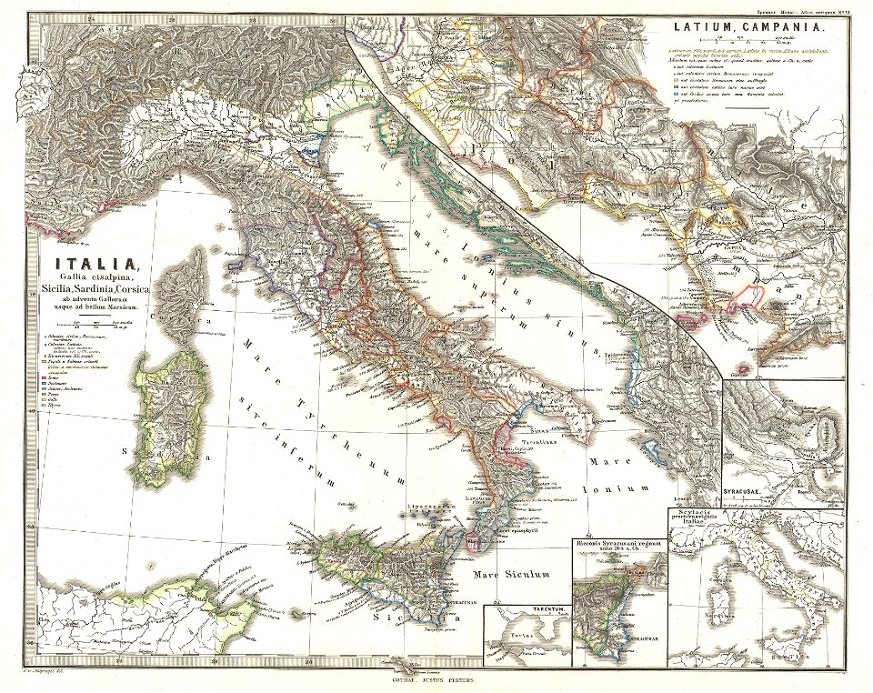
old maps of italy
david rumsey historical map collection
german-language maps
david rumsey historical map collection
german-language maps
david rumsey historical map collection
german-language maps
karl spruner von merz
old maps of italy
karl spruner von merz
old maps of italy
19th-century maps of the caucasus
1865 maps
david rumsey historical map collection
german-language maps
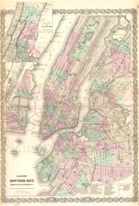
old maps of new york city
1865 maps
david rumsey historical map collection
german-language maps
david rumsey historical map collection
german-language maps
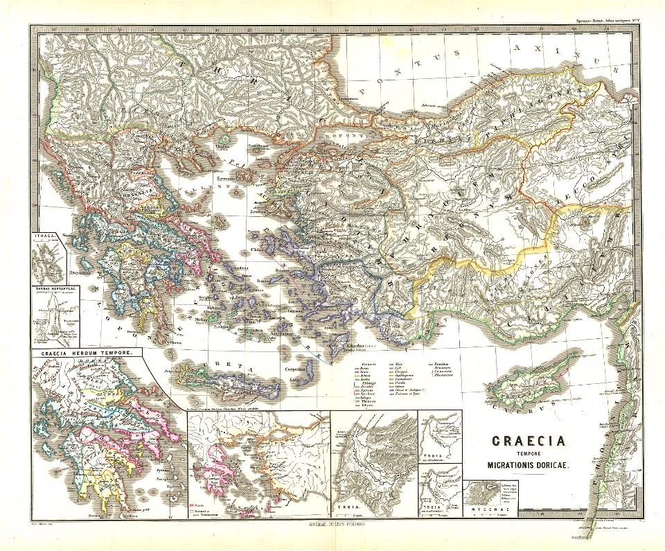
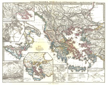
old maps of ancient greece
karl spruner von merz
karl spruner von merz
old maps of italy
david rumsey historical map collection
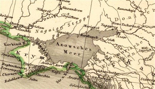
old maps of the sea of azov
german-language maps showing history of europe
david rumsey historical map collection
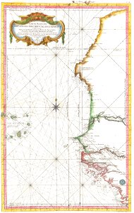
maps by jacques-nicolas bellin
19th-century maps of africa
maps in the library of congress
1865 maps
maps in the library of congress
1865 maps
maps in the library of congress
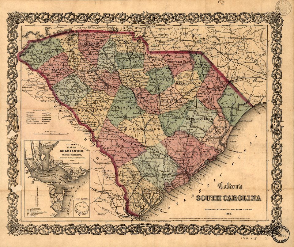
old maps of south carolina
maps in the library of congress
old maps of south carolina
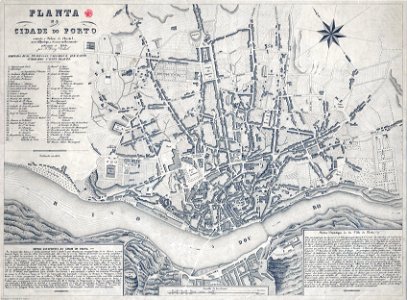
19th-century maps of porto
1865,
l'illustration
1865,
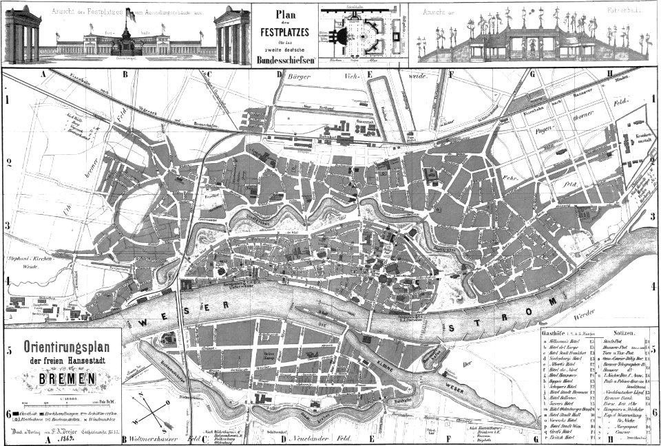
old maps of bremen (state)
bremen in the 1860s
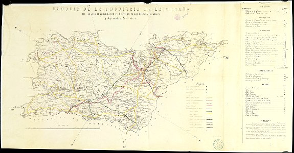
old maps of the province of a coruña
litografía de julio donón
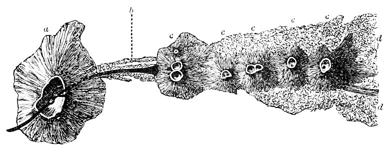
eruption fissures of mount etna
fissure vents of mount etna
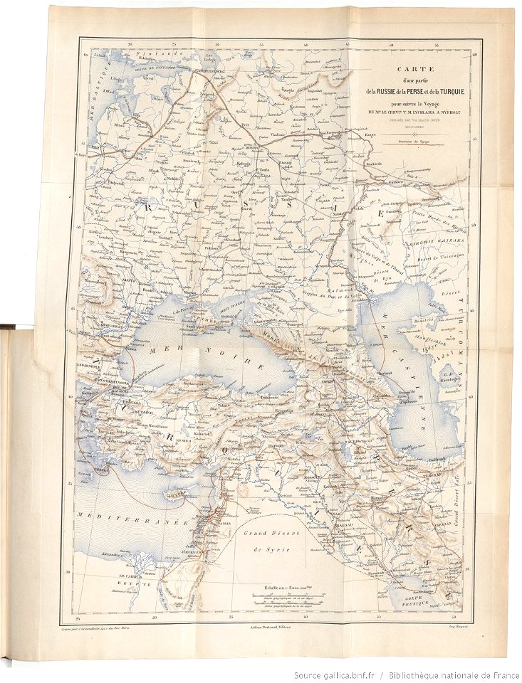
tinco martinus lycklama à nijeholt (1837-1900)
unidentified maps
19th-century portrait paintings in germany
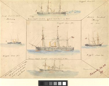
19th-century sailing ships in paintings
printing
1863
portraits by charles-philippe larivière
neoclassicism
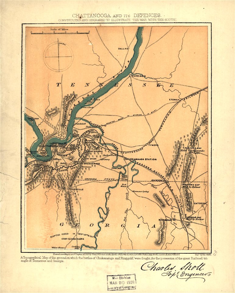
maps in the library of congress
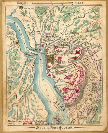
fortifications of port hudson
old maps of 's-hertogenbosch
empel en meerwijk
gemeente atlas van nederland - south holland
maps of peursum
gemeente atlas van nederland - south holland
old maps of katwijk, south holland
gemeente atlas van nederland - groningen
maps of winschoten
gemeente atlas van nederland - utrecht
old maps of amersfoort
bromfield street (boston, massachusetts)
granary burying ground
gemeente atlas van nederland - south holland
1860s maps of south holland
gemeente atlas van nederland - south holland
1860s maps of south holland
gemeente atlas van nederland - south holland
1860s maps of south holland
gemeente atlas van nederland - north holland
19th-century maps of amsterdam
gemeente atlas van nederland - south holland
1860s maps of south holland
gemeente atlas van nederland - north holland
amsterdam in the 1860s
gemeente atlas van nederland - south holland
1860s maps of south holland
gemeente atlas van nederland - south holland
19th-century maps of rotterdam
gemeente atlas van nederland - south holland
maps of wateringen
gemeente atlas van nederland - north holland
1860s maps of north holland
gemeente atlas van nederland - south holland
1860s maps of south holland
gemeente atlas van nederland - south holland
19th-century maps of rotterdam
gemeente atlas van nederland - south holland
19th-century maps of rotterdam
gemeente atlas van nederland - south holland
1860s maps of south holland
gemeente atlas van nederland - south holland
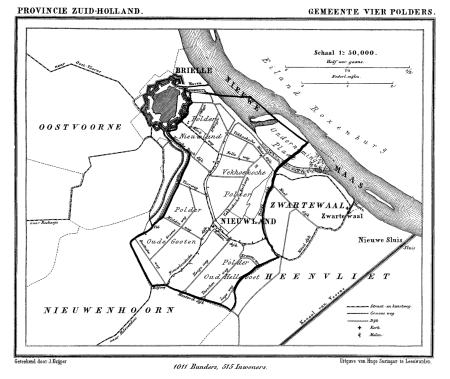
old maps of brielle
1 - 100 of 548
Next page
/ 6