Log in
All resources
Create a design
16 Free Artworks of Old Maps Of Mecklenburg
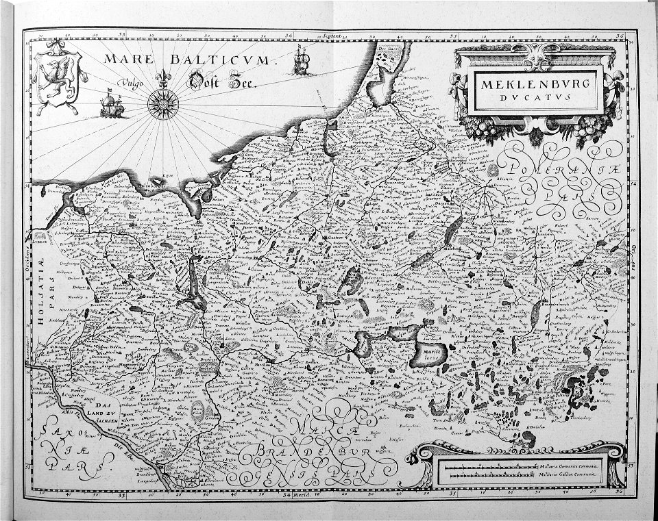
17th-century maps of mecklenburg-vorpommern
baroque
engravings of topographia saxoniae inferioris
copper engraving print
matthäus merian
johann lauremberg
topographia saxoniae inferioris (merian)
old maps of mecklenburg-vorpommern
atlas novus (blaeu)
1640s maps of mecklenburg-vorpommern
maps of mecklenburg-schwerin
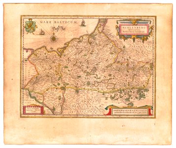
old maps of mecklenburg
old maps of mecklenburg
powell library
17th-century maps of pomerania
old maps of rügen
17th-century maps of mecklenburg-vorpommern
johann lauremberg
engravings of topographia saxoniae inferioris
baroque
old maps of western pomerania
coats of arms on maps
maps showing 18th-century history
maps made in the 18th century
atlas maior, vol 3 (germany) - joan blaeu, 1667 - bl 114.h(star).3
collections of the nederlands scheepvaartmuseum
maps by john cary
1801 maps
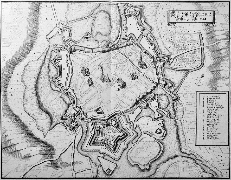
greifswald in the 17th century
old maps of greifswald
engravings of topographia saxoniae inferioris
baroque
engravings of topographia saxoniae inferioris
baroque
1801 maps of germany
maps by john cary
engravings of topographia saxoniae inferioris
baroque
maps by jakob van der schley
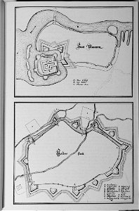
old maps of stralsund
atlas ou representation du monde universel t. 2 (1633)
old maps of mecklenburg
1 - 16 of 16
/ 1