Log in
All resources
Create a design
217 Free Artworks of Maps Showing History
english-language maps showing history
the comprehensive history of england (1876)
1870s maps showing history
latin-language maps
maps showing 19th-century history
german-language maps showing history of europe
historisk atlas (stockholm, norstedt & söner, 1880)
old maps of the white sea
maps of the barents sea
dutch-language maps
european interpretation of islamic art
old maps of baghdad
history of visualization
dot maps
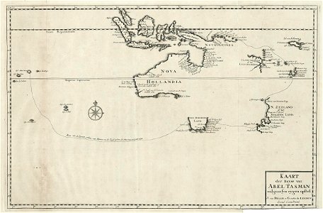
third voyage of willem barentsz
history of dutch sea fisheries
the voyage of the vega round asia and europe
third voyage of willem barentsz
itinerario (jan huygen van linschoten)
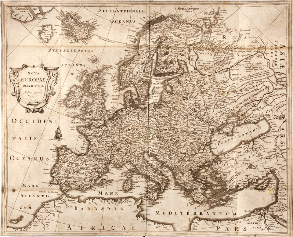
latin-language maps
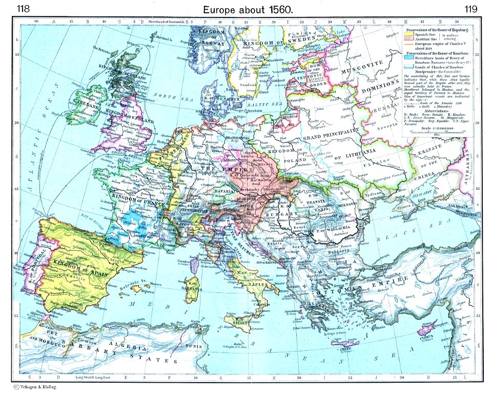
old maps showing history of europe
old maps of the holy roman empire
prints from dankaerts historis at the peace palace library
cornelis danckerts (i)
maps showing 18th-century history
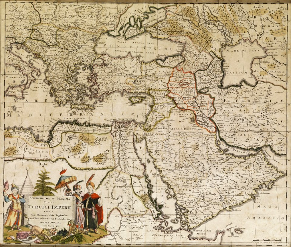
old maps of the ottoman empire
old maps of the carolingian empire
old maps of europe
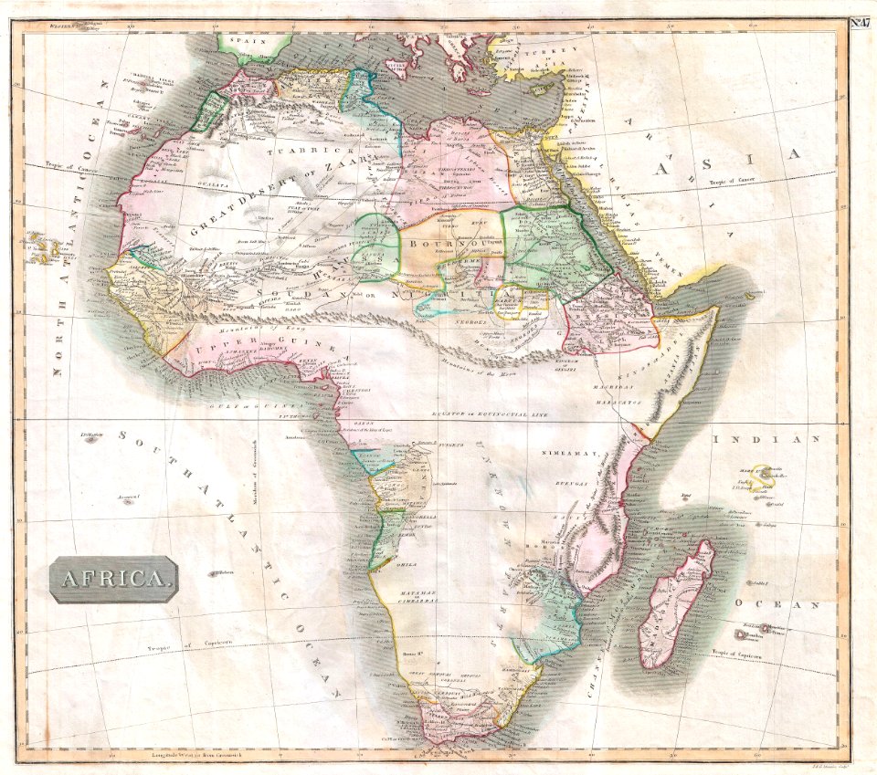
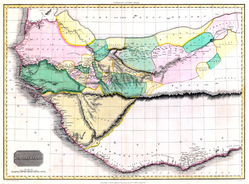
european exploration of africa
maps by john thomson
german-language maps showing history of europe
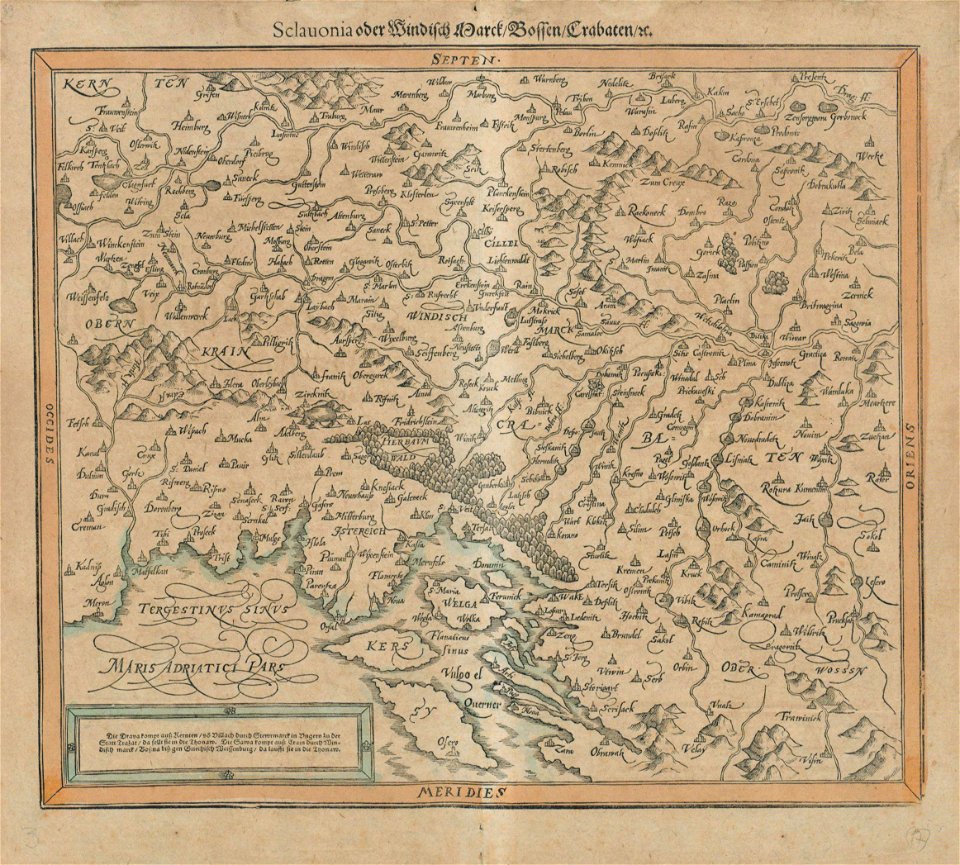
maps by sebastian münster
german-language maps showing history of europe
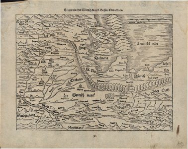
maps by sebastian münster
german-language maps showing history of europe
maps by brockhaus
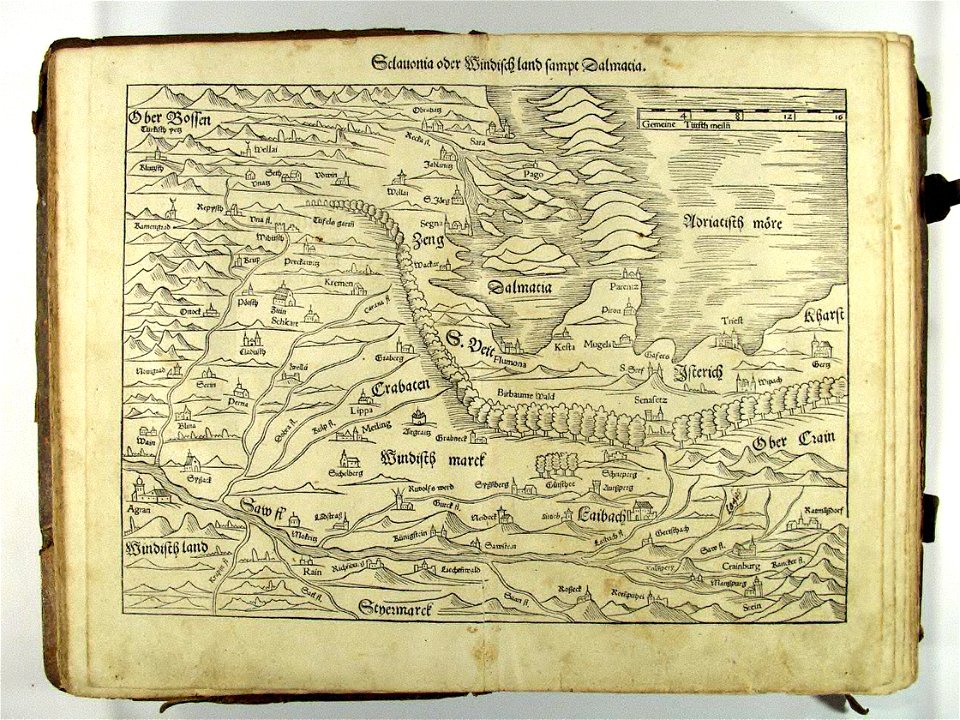
german-language maps showing history of europe
maps by sebastian münster
maps showing 19th-century history
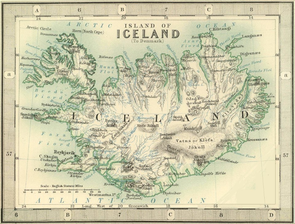
old maps of iceland
18th-century maps of puerto rico
18th-century maps of cuba
ten thousand campaign
old maps of turkey
collections de la bibliothèque nationale et universitaire de strasbourg
german-language maps
maps from allgemeiner historischer handatlas
arabic-language maps
david rumsey historical map collection
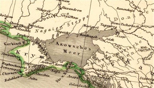
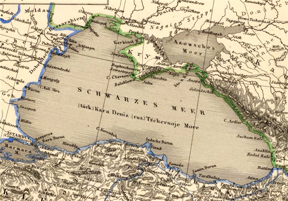
old maps of the sea of azov
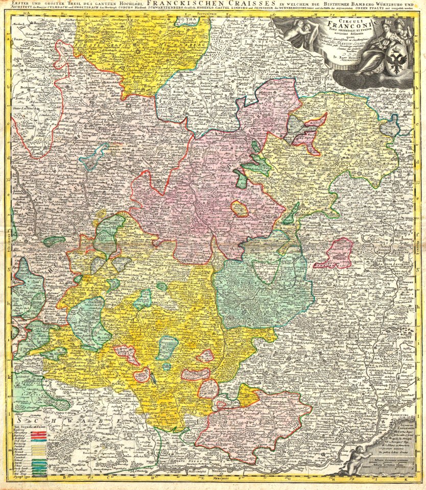
johann baptist homann
maps of franconia
german-language maps showing history of europe
david rumsey historical map collection
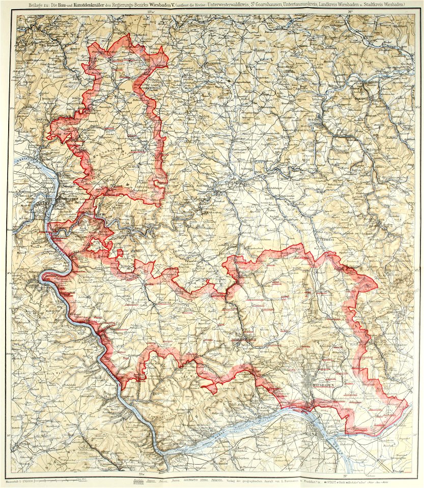
images from bau- und kunstdenkmäler des regierungsbezirks wiesbaden (volume 5)
german-language maps showing history of europe
maps showing 19th-century history
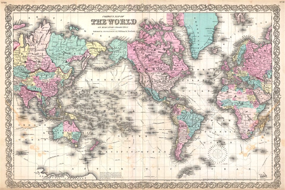
political maps of the world
maps of territories in the lower saxony circle
johann baptist homann
old maps showing history of europe
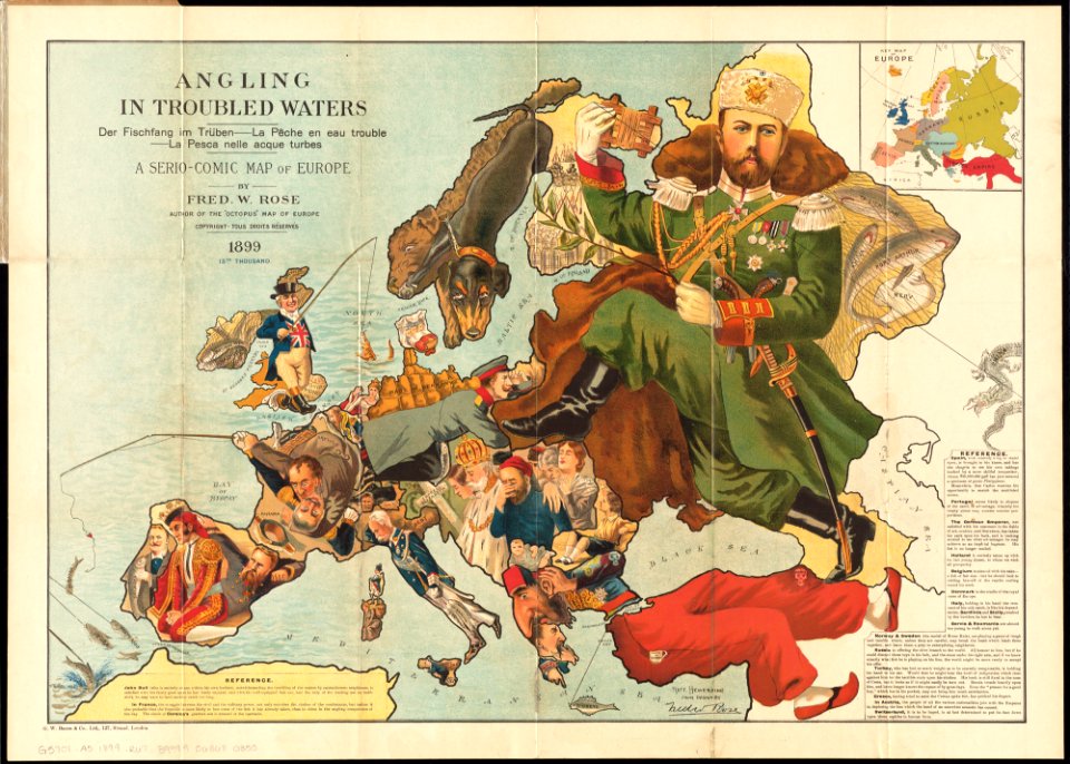
1899 maps
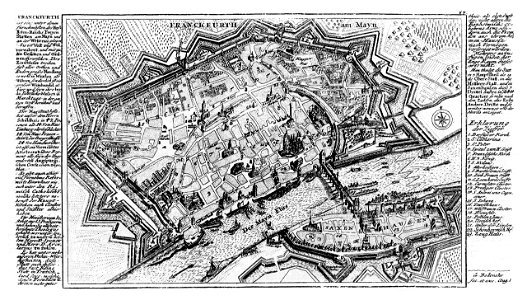
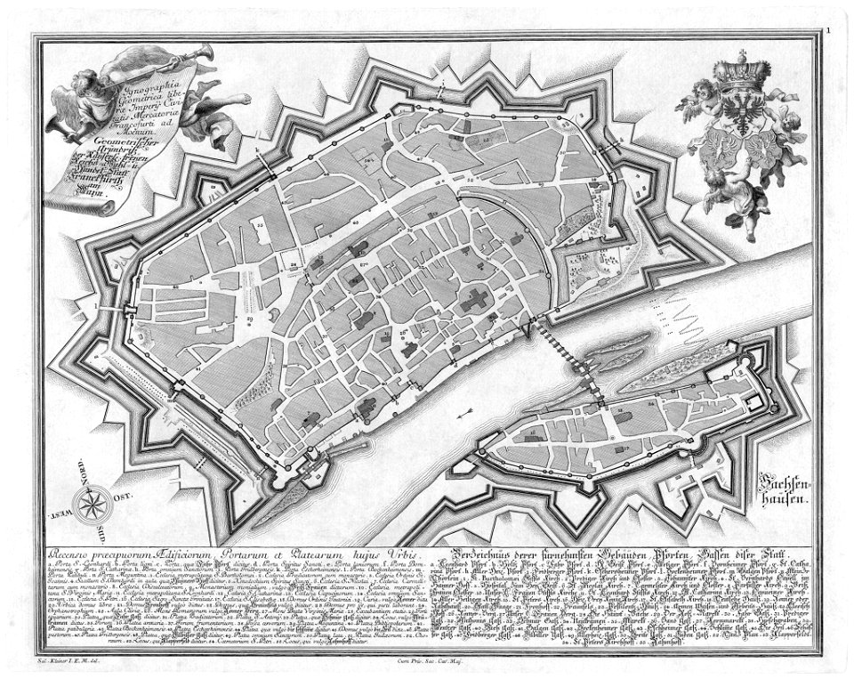
city walls of frankfurt am main
gabriel bodenehr
abel tasman
1724 maps
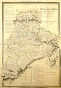
la rioja (spain) in the 19th century
cantabria in the 19th century
political maps of the world
1852
old maps of guinea-bissau
old maps of liberia
maps showing history
corfu
maps showing history
corfu
dutch 18th-century prints in the rijksmuseum amsterdam
hendrik de leth
maps of frankfurt am main showing 18th-century history
das florirende franckfurth am mayn
maps from gallica
propaganda map
itinerario (jan huygen van linschoten)
latin-language maps
expressionism,symbolism,bauhaus
photos of mercury by messenger
old administrative maps of the ottoman empire
1909 maps of asia
itinerario (jan huygen van linschoten)
latin-language maps
human migration
new albion
nouvelle géographie universelle, vol. i
maps showing 19th-century history
historisk atlas (stockholm, norstedt & söner, 1880)
maps of the history of scandinavia
1590s maps of the world
1595 maps
maps showing history of the early middle ages
charles the bald
old maps of the kingdom of france (987-1792)
19th-century maps of the british isles
engravings of buildings
maps by pieter mortier
maps of nieuwkoop
aarlanderveen
maps by jodocus hondius
1595 maps
john rocque's 1746 map of london
details of old maps of london
john rocque's 1746 map of london
history of london
jaroslav zdeněk
josef farský
maps by alexis-hubert jaillot
maps by nicolas sanson
maps showing 19th-century history
19th-century maps of south asia
19th-century maps of vietnam
1810s maps of china
maps of the history of sweden
1386 in sweden
maps of the war of the spanish succession
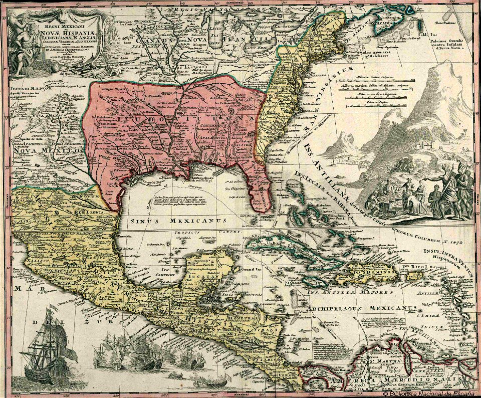
apalachee
old maps of são paulo (city)
maps of são paulo (city)
bermuda in the 17th century
castle harbour, bermuda
maps showing 19th-century history
arctic expeditions
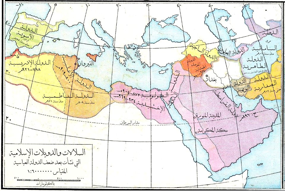
maps of the history of the middle east
maps of 12th-century asia
maps of adelaide
william light
maps by guillaume delisle showing history
old maps of alexander the great's empire
old maps of rhineland-palatinate
old maps of alsace
maps of san juan, puerto rico
san juan bay, puerto rico
archaeological maps of north america
adena culture
1520s maps of the world
propaganda map
the comprehensive history of england (1876)
english-language maps showing history
1700s maps of germany
battle of blenheim
17th-century maps of the mediterranean sea
copper engravings
maps showing 19th-century history
1812 maps of africa
old maps of marche
1624 maps of italy
historisk atlas (stockholm, norstedt & söner, 1880)
old maps of the polish-lithuanian commonwealth
maps from the mechanical curator collection
icelandic-language maps showing history
eric (xii) of sweden (erik magnusson)
maps of the history of sweden
old maps showing history
1820s maps of europe
the comprehensive history of england (1876)
english-language maps showing history
maps by alexis-hubert jaillot
1730s maps of france
maps showing history of indigenous peoples of north america
serpent mound
the comprehensive history of england (1876)
english-language maps showing history
library of the university of vienna
map of vienna by jacob hoefnagel
the comprehensive history of england (1876)
english-language maps showing history
smedslätten
ålsten
maps by daniel lizars
1830s maps of belize
the comprehensive history of england (1876)
english-language maps showing history
the comprehensive history of england (1876)
english-language maps showing history
the comprehensive history of england (1876)
english-language maps showing history
the comprehensive history of england (1876)
english-language maps showing history
the comprehensive history of england (1876)
english-language maps showing history
historisk atlas (stockholm, norstedt & söner, 1880)
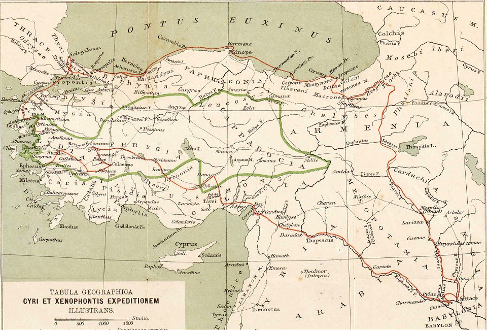
maps showing 5th-century bc history
historisk atlas (stockholm, norstedt & söner, 1880)
19th-century maps of the british isles
old maps of krefeld
1645 in krefeld
the comprehensive history of england (1876)
english-language maps showing history
the comprehensive history of england (1876)
english-language maps showing history
the comprehensive history of england (1876)
english-language maps showing history
the comprehensive history of england (1876)
danube in 1704
maps of the battle of the nile
battle of alexandria
the comprehensive history of england (1876)
english-language maps showing history
the comprehensive history of england (1876)
english-language maps showing history
the comprehensive history of england (1876)
english-language maps showing history
1 - 100 of 217
Next page
/ 3