Log in
All resources
Create a design
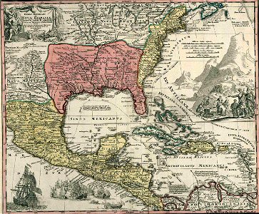
Mapa Caribe 1720
Download
Edit image
Published by:
Creazilla
Author:
Biblioteca Nacional de España (Inventory)
Source:
commons.wikimedia.org
Loading...
9 downloads
Print it
Copy image
Loading...
18th-century maps of cuba
18th-century maps of puerto rico
18th-century maps of the spanish empire
johann baptist homann
old maps of guatemala
maps of the viceroyalty of new spain
old maps of the history of venezuela
18th-century maps of the caribbean
maps showing 18th-century history
caribbean sea in art
history of florida
18th-century maps of colombia
1720 in the caribbean
MORE LIKE THIS