Log in
All resources
Create a design
19 Free Artworks of Old Maps Of Alsace
maps made in the 17th century
atlantis magni tomus tertius (biblioteca comunale di trento)
collections de la bibliothèque nationale et universitaire de strasbourg
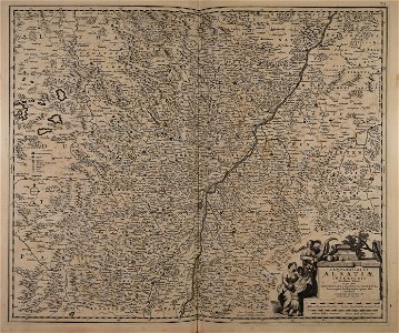
maps by nicolaes visscher i
baroque
topographia alsatiae (merian)
atlante veneto (raremaps.com) volume 2
johann baptist homann
maps by daniel specklin
maps by alexis-hubert jaillot
atlante veneto (raremaps.com) volume 2
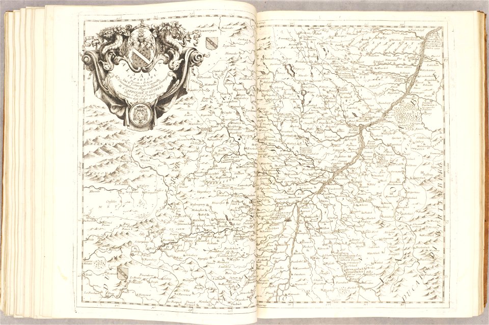
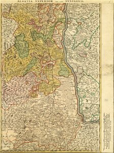
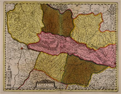
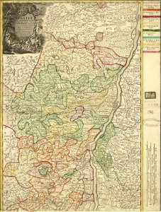
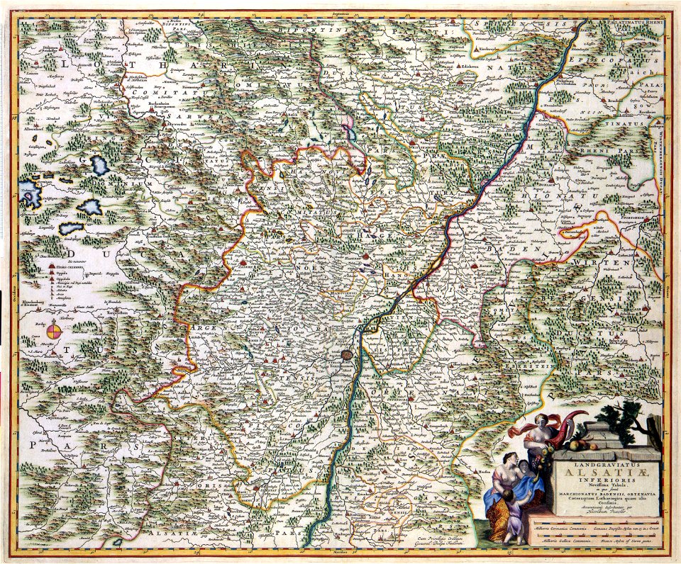
old maps of alsace
atlante veneto (raremaps.com) volume 2
old maps of alsace
maps made in the 17th century
maps by nicolaes visscher i
collections de la bibliothèque nationale et universitaire de strasbourg
old maps of alsace
collections de la bibliothèque nationale et universitaire de strasbourg
johann baptist homann
maps made in the 17th century
maps by nicolaes visscher i
maps made in the 17th century
old maps of alsace
maps made in the 17th century
gerard valck
collections de la bibliothèque nationale et universitaire de strasbourg
johann baptist homann
maps made in the 17th century
frederick de wit
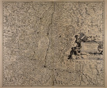
maps with cartouches
atlas van der hagen
old maps of rhineland-palatinate
old maps of alsace
topographia alsatiae (merian)
baroque
ancien château de wasselonne
baroque
topographia alsatiae (merian)
baroque
géographie générale; physique, politique et économique (1876)
1870s maps of germany
victor levasseur - maps of france
old maps of meurthe (department)
maps by alexis-hubert jaillot
maps by guillaume sanson
maps made in the 17th century
old maps of alsace
1 - 19 of 19
/ 1