Log in
All resources
Create a design
26 Free Artworks of Old Maps Of Marche
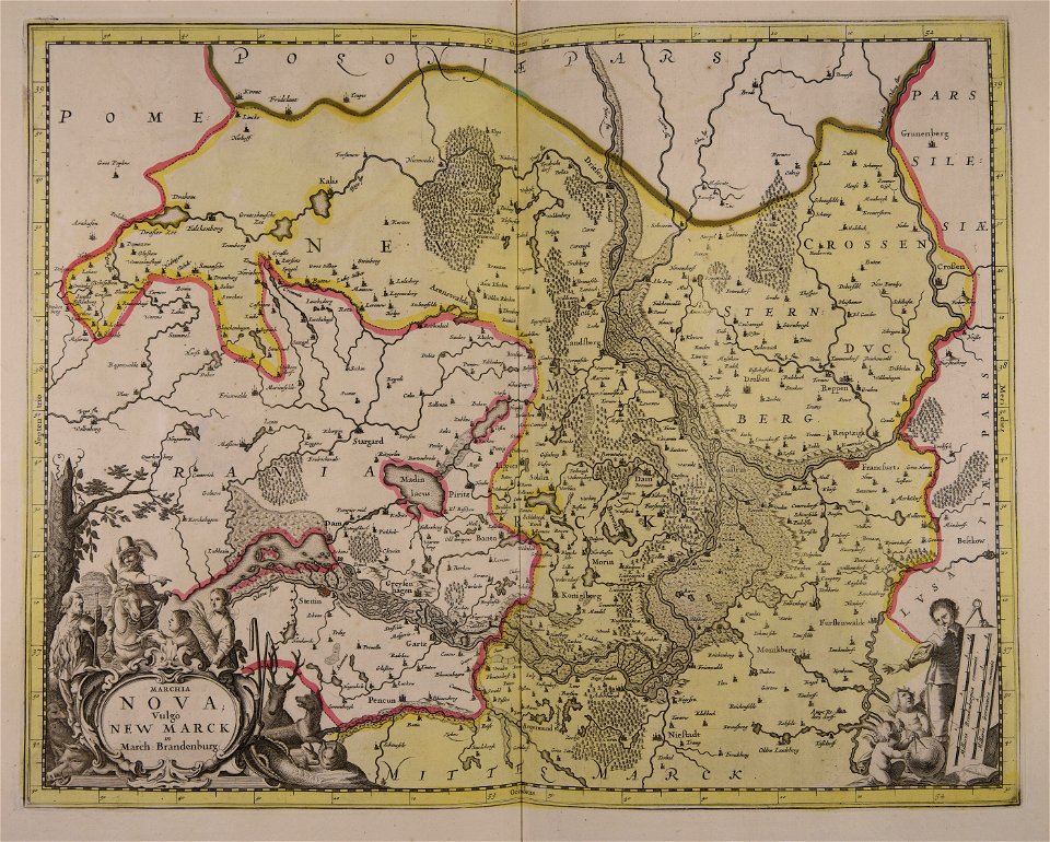
maps made in the 17th century
atlantis magni tomus tertius (biblioteca comunale di trento)
historical images of the pont saint-michel
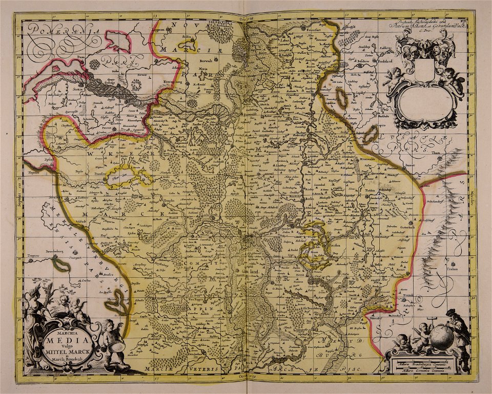
gerard valck
maps by pieter schenk (i)
old maps of virginia
maps of ancient italy by philipp clüver
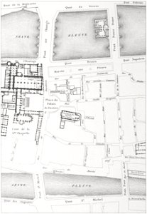
old submaps of paris
old maps of île de la cité
jean-baptiste scotin
david rumsey historical map collection
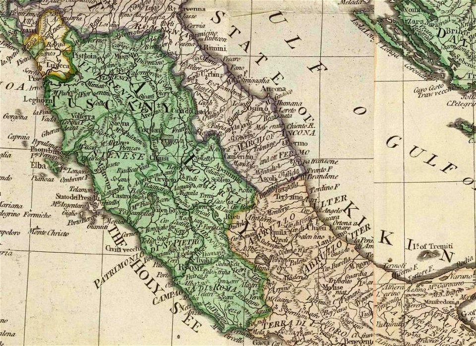
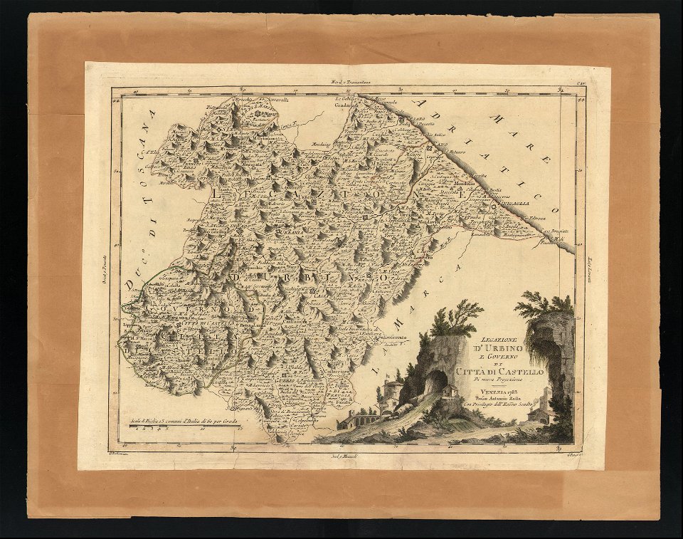
old maps of marche
maps in the biblioteca federiciana
old maps of marche
atlantis magni tomus tertius (biblioteca comunale di trento)
maps made in the 17th century
maps made in the 17th century
gerard valck
maps made in the 17th century
gerard valck
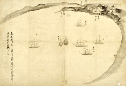
old maps of japan
perry expedition
historical images of the pont saint-michel
morgue du marché-neuf
maps of austro-prussian war
old maps of croatia
old county maps of middlesex
maps by thomas kitchin
maps by jodocus hondius
old maps of virginia
old maps of wales
hugh hughes
old maps of marche
1624 maps of italy
old maps of île de la cité
old submaps of paris
joseph lemercier
auguste logerot
travels through virginia (1618)
old maps of virginia
old maps of île de la cité
jean-baptiste scotin
maps of ancient italy by philipp clüver
old maps of marche
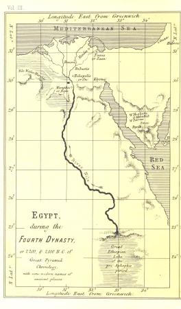
life and work at the great pyramid (1867)
maps of the egyptian old kingdom
maps in the library of congress
old maps of veracruz (city)
black and white portrait photographs of writers
zelda fitzgerald
description des principales villes (1690)
old maps of santa maura
description des principales villes (1690)
durrës in the 17th century
peninsula campaign
julius bien
images released by british library images online, march 2014
british library asia, pacific and africa collections
drawings of paris by alfred bonnardot
impasse de l'hôtel-d'argenson (paris)
dutch 17th-century prints in the rijksmuseum amsterdam
siege of breda 1624-1625
1 - 26 of 26
/ 1