Log in
All resources
Create a design
202 Free Artworks of Old Maps Of Europe
maps made in the 18th century
latin-language maps
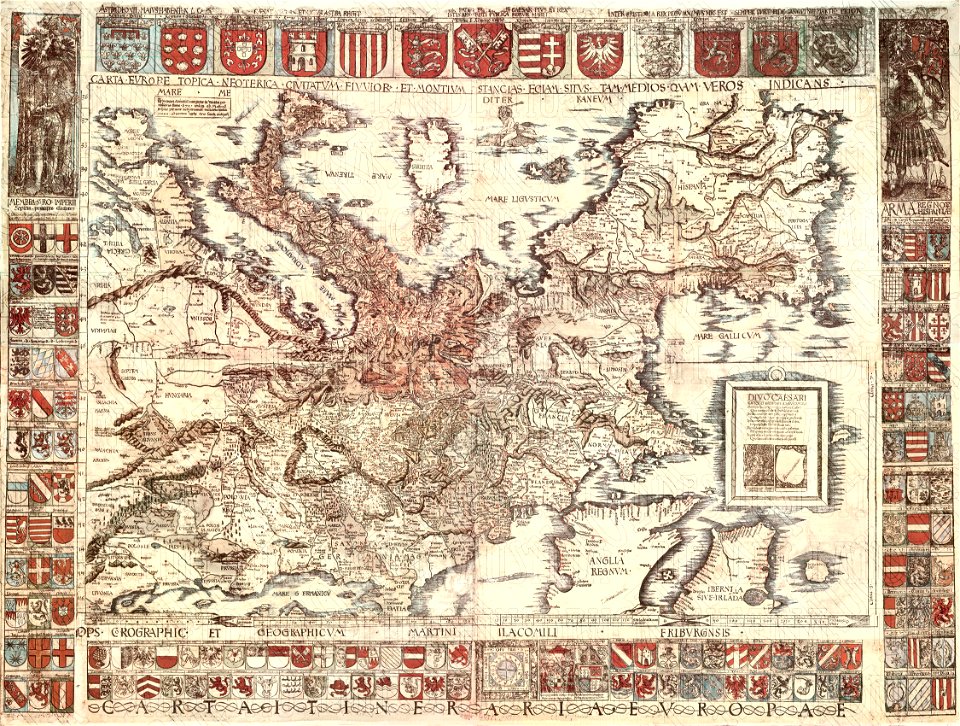
atlantis magni tomus primus (biblioteca comunale di trento)
18th-century engravings
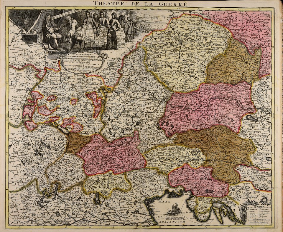
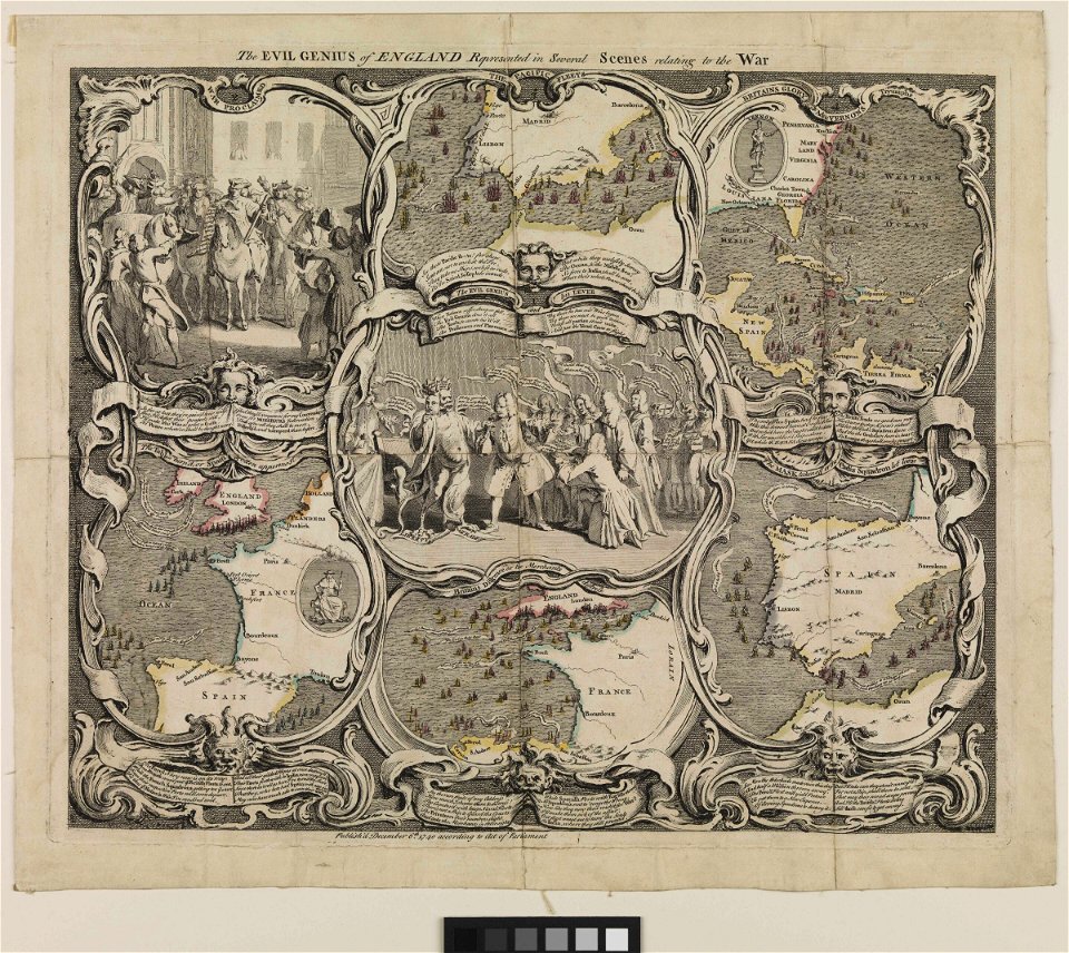
war of the spanish succession
pieter schenk (i)
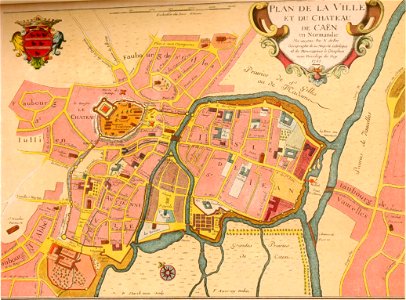
cities in europe
vintage maps
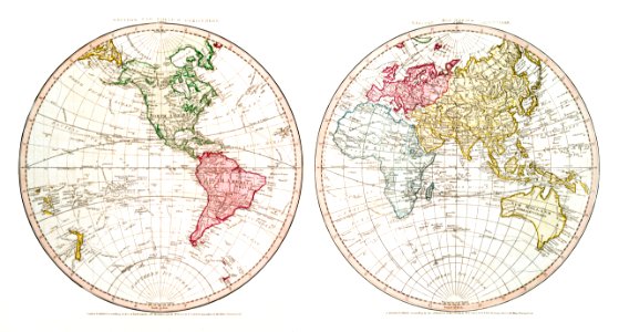
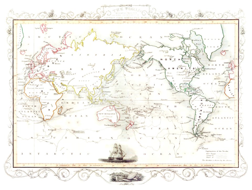
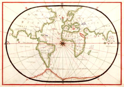
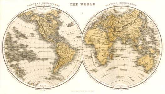
world map
atlantis magni tomus tertius (biblioteca comunale di trento)
the voyage of the vega round asia and europe
third voyage of willem barentsz
itinerario (jan huygen van linschoten)
latin-language maps
old maps of spitsbergen
old maps of the arctic
old maps showing history of europe
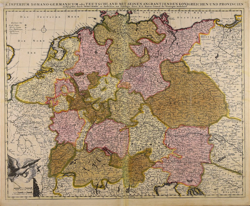
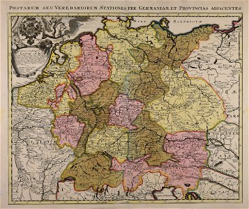
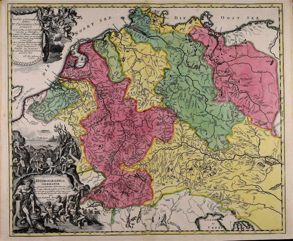
old maps of the holy roman empire
old maps of the carolingian empire
old maps of europe
old maps of europe
1570 maps
old maps of greece
old maps of turkey
maps by frederick de wit
old maps of the balkans
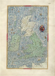
old maps of the british isles
old maps of europe
prints from dankaerts historis at the peace palace library
cornelis danckerts (i)
old maps of iceland
kraken
maps by john thomson
old maps of turkey
australia
maps
old maps showing history of europe
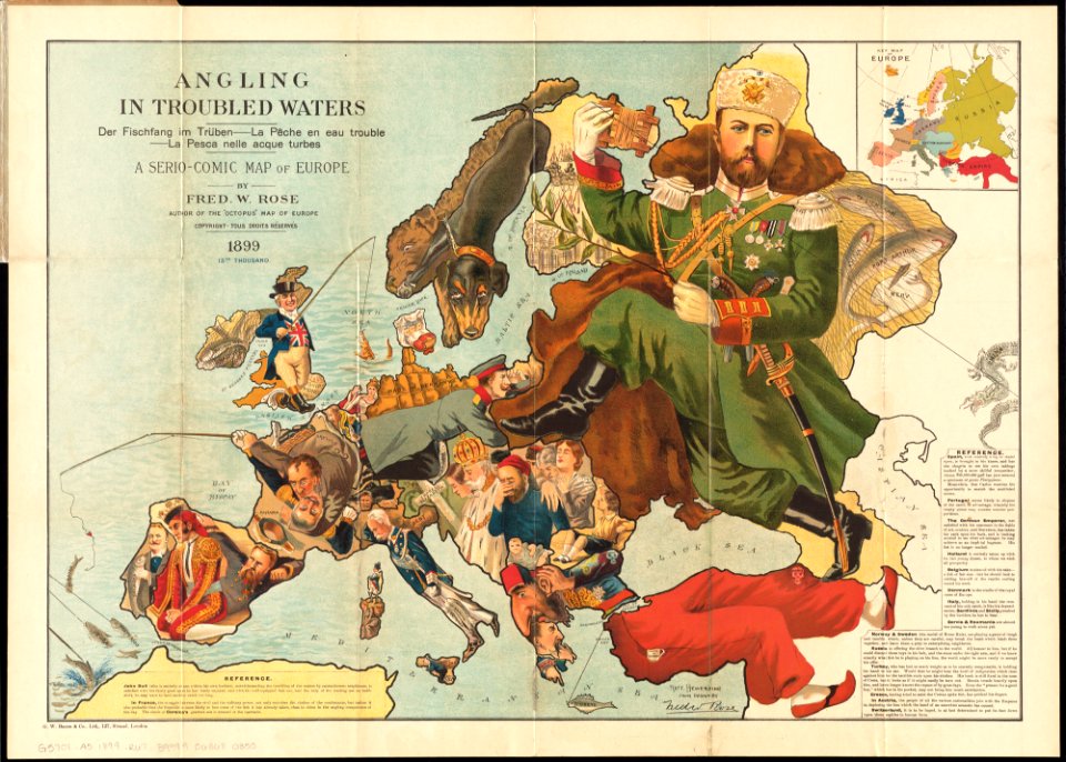
1899 maps
old maps of the ottoman empire
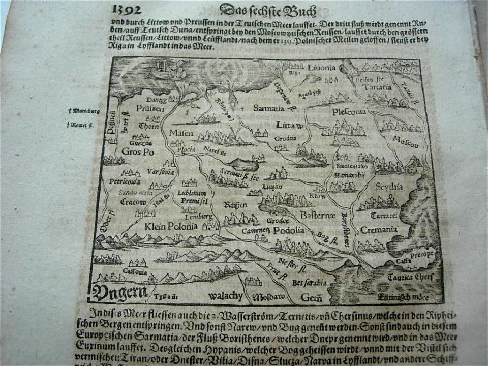
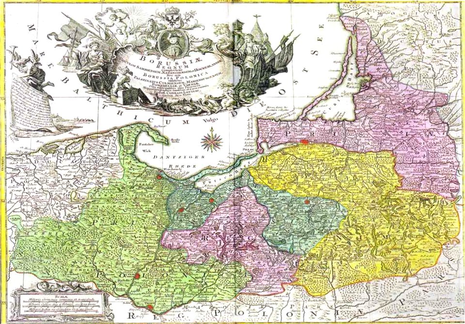
old maps of poland
ogier gisleen van busbeke
1620 maps of europe
old maps of the british isles
coats of arms on maps
old maps of the british isles
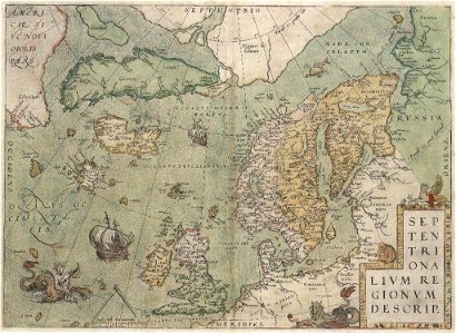
old maps of scandinavia
old maps of greece
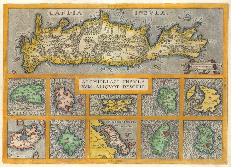
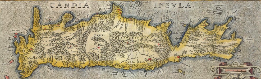
old maps of crete
australia
maps
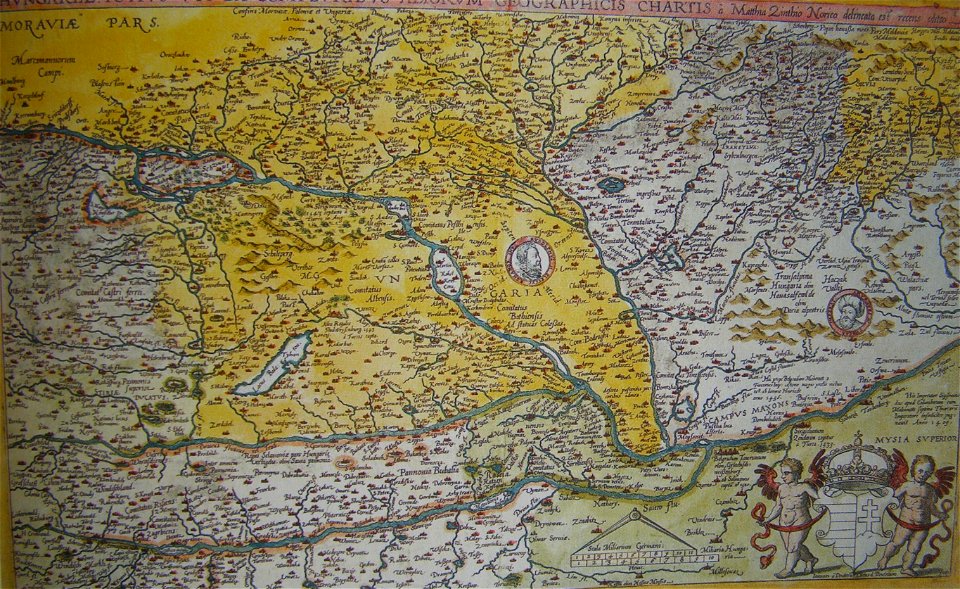
old maps of the history of hungary
old maps of the ottoman empire
old maps of greece
old maps of crete
illustrations of cosmographia (münster)
old map
old maps of europe
elementarwerk
maps of 18th-century europe
latin-language maps
maps made in the 18th century
old maps of europe
old maps of europe
diogo homem
moluccan
1614
old maps of the dutch east india company
1775
old maps of europe
1789 maps
dillingen
saarland
maps by john thomson
1814 maps
caricatures of wilhelm ii of germany
cornell university library
maps
sea
maps made in the 18th century
old maps of europe
africa
maps
fortified farms
nicolas de fer
german-language maps showing history of europe
maps by brockhaus
maps made in the 18th century
old maps of europe
travels in various countries of europe
asia and africa
old maps of the dutch east india company
1598
18th-century maps of italy
johann baptist homann
old maps of the british isles
karl spruner von merz
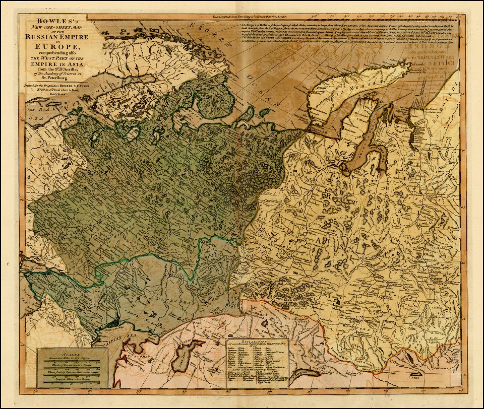
old maps of the russian empire
carrington bowles
maps of the ottoman empire in the 19th century
maps by joseph hutchins colton
david rumsey historical map collection
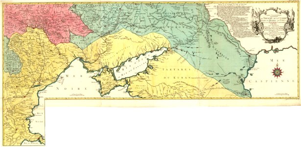
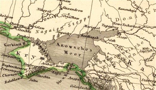
old maps of the sea of azov
maps made in the 18th century
johann baptist homann
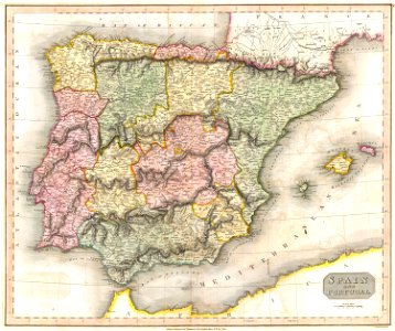
old maps of the iberian peninsula
maps by john thomson
johann baptist homann
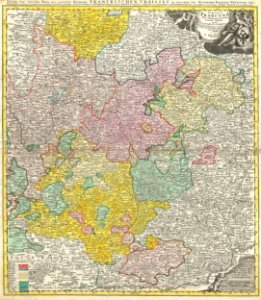
maps of franconia
maps made in the 18th century
old maps of europe
maps
sea
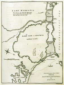
old maps of alexandria
asia and africa
australia
maps
old maps of europe
printing
globe
maps
old maps of india
old maps of tibet
maps
sea
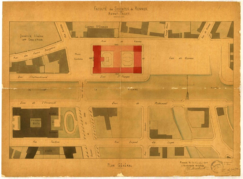
jean-baptiste martenot
1888 in bretagne
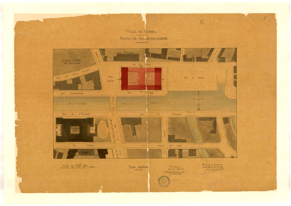
jean-baptiste martenot
1888 in bretagne
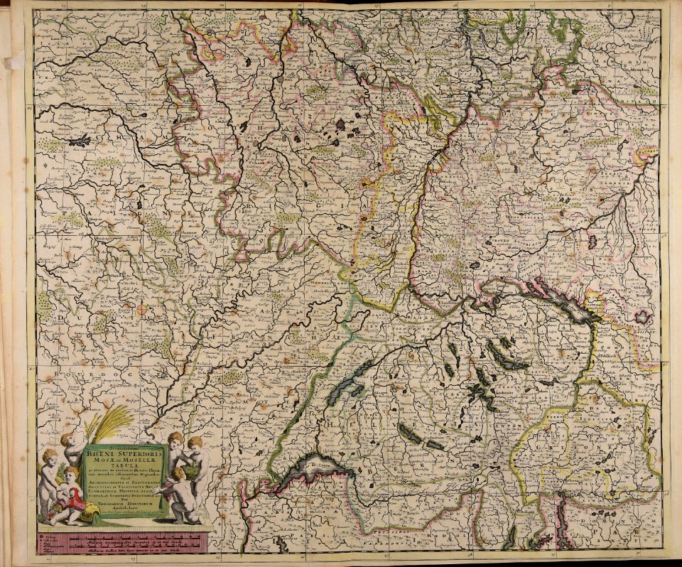
maps made in the 17th century
old maps of europe
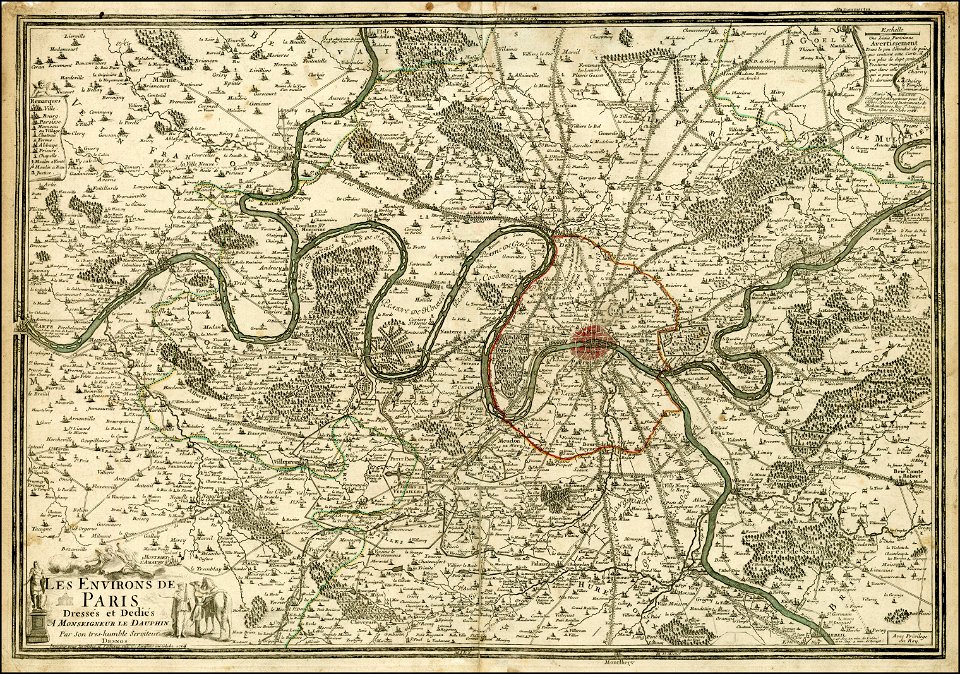
maps of paris from the barry lawrence ruderman antique maps inc.
maps of paris in the 1760s
new market square in rzeszów
maps of 18th-century europe
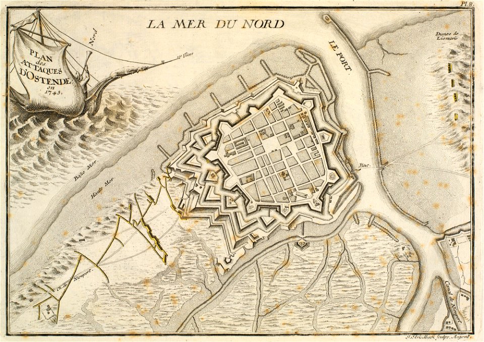
prints in the royal collection of the united kingdom
history of ostend
maps made in the 18th century
old maps of europe
coats of arms of galicia (spain)
holy roman empire
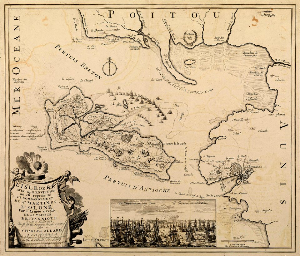
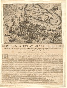
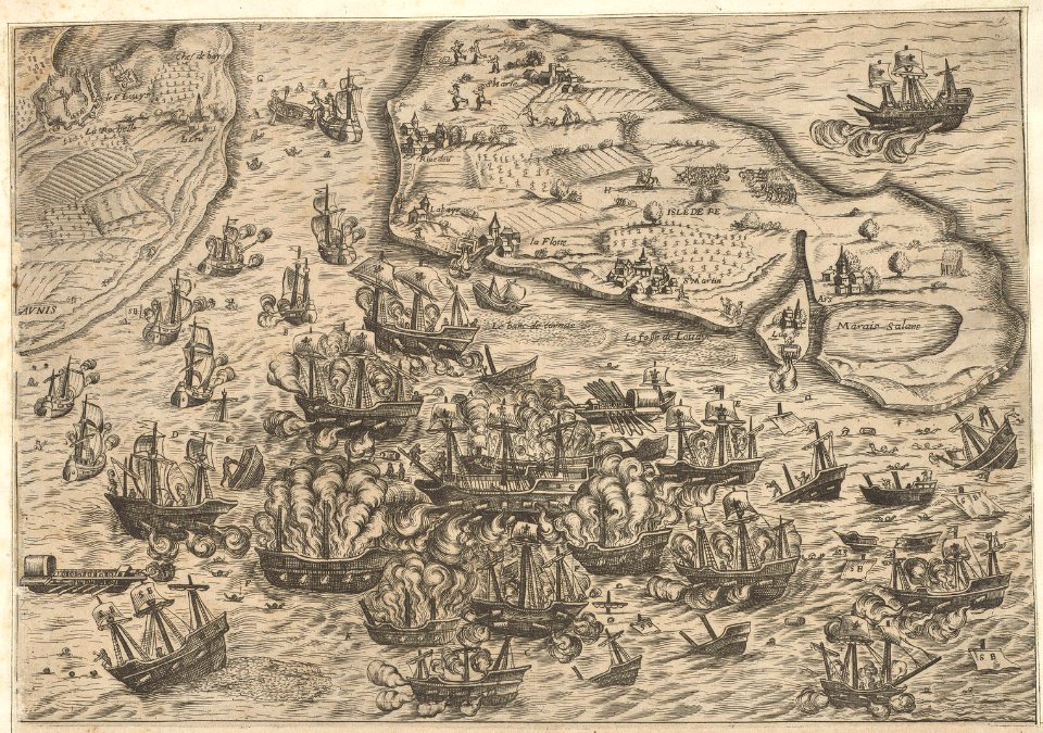
sainte-marie-de-ré
bombardment
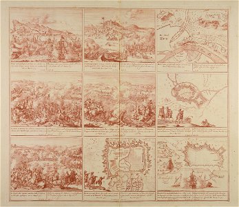
maps made in the 18th century
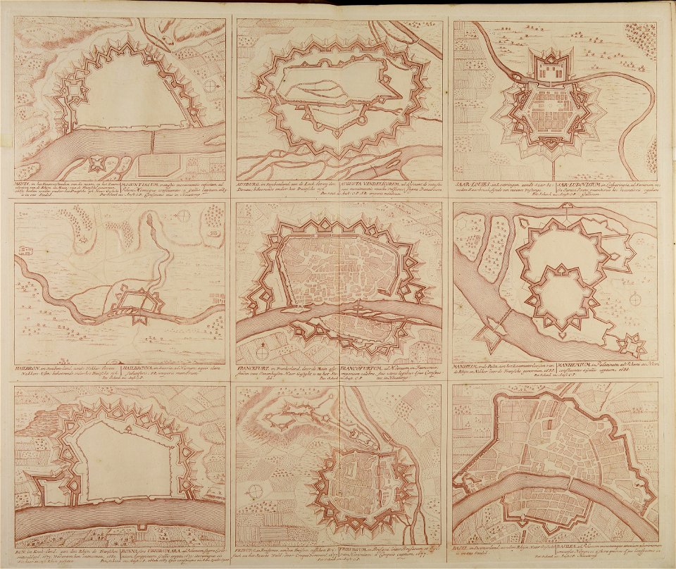
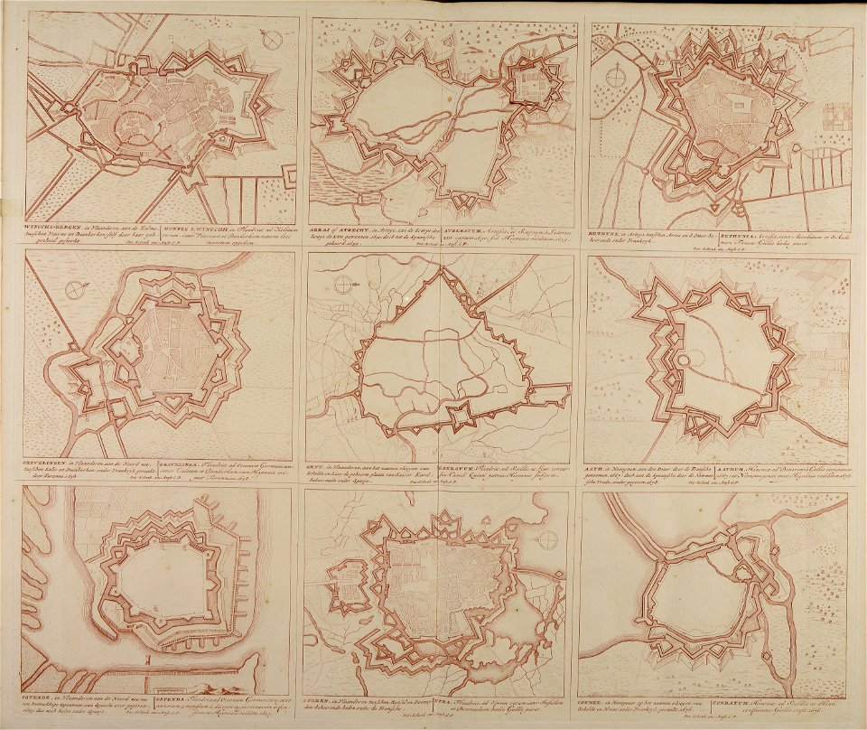
18th-century engravings
maps made in the 18th century
18th-century engravings
maps made in the 18th century
18th-century engravings
maps made in the 18th century
18th-century engravings
maps made in the 18th century
18th-century engravings
maps made in the 18th century
18th-century engravings
maps made in the 18th century
18th-century engravings
maps made in the 18th century
18th-century engravings
maps made in the 18th century
18th-century engravings
travels in various countries of europe
asia and africa
vintage
maps
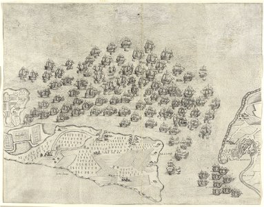
historical images of île de ré
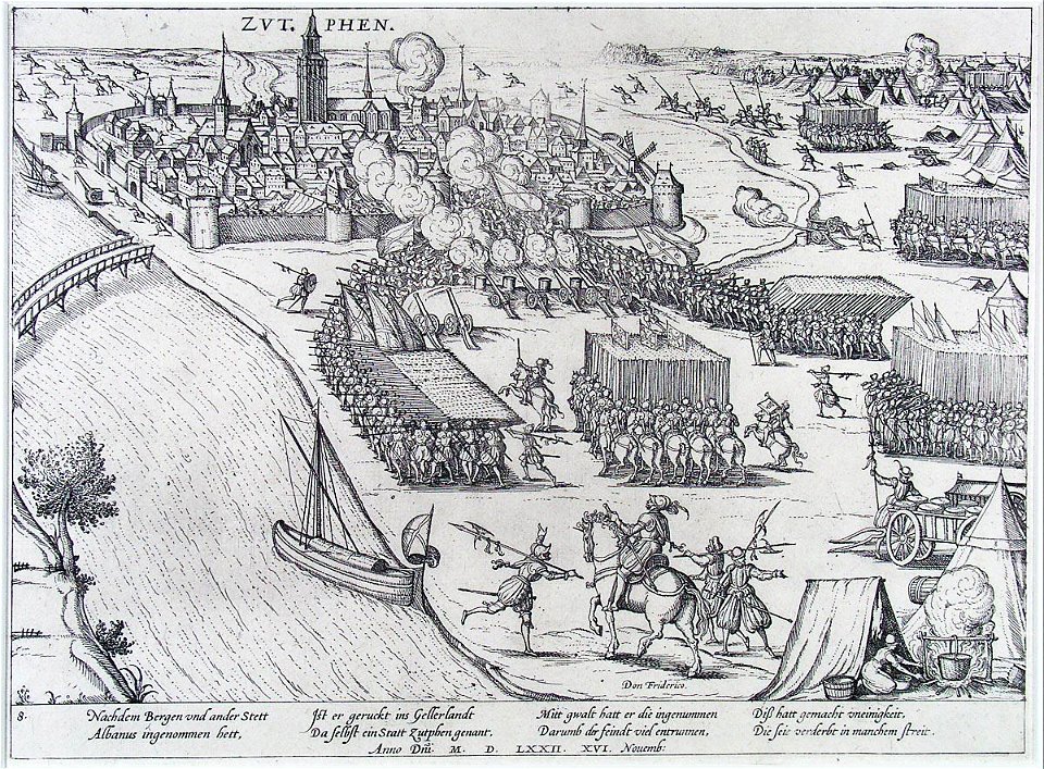
siege of la rochelle
historical images of île de ré
siege of la rochelle
russo-turkish war (1877–1878)
old maps of europe
historical images of île de ré
siege of la rochelle
historical images of île de ré
siege of la rochelle
prints in the museum boijmans van beuningen
frans hogenberg
historical images of île de ré
siege of la rochelle
artworks without wikidata item
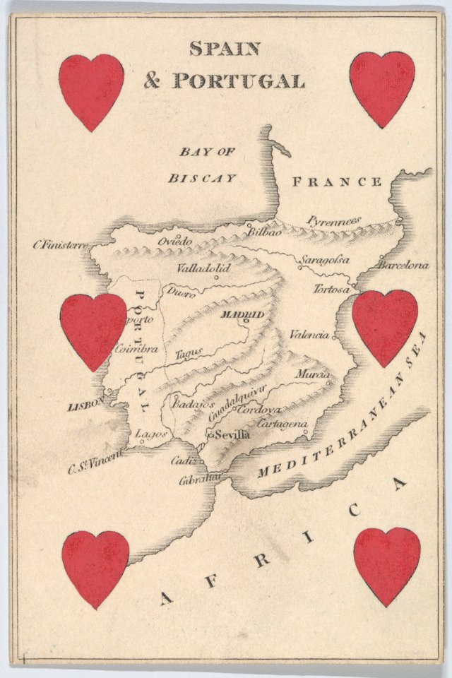
6 of hearts
old maps of banská štiavnica
danubius pannonico-mysicus
russo-turkish war (1877–1878) in art
great eastern crisis (1875–78)
maps by john cary
county of tyrol
old cartoon maps of europe
1870 cartoons
1550s maps of the iberian peninsula
renaissance
jean étienne guettard
philippe buache
maps by cornelis anthonisz.
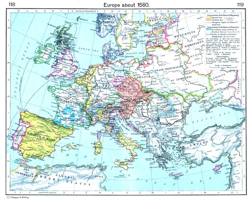
1560 maps of europe
17th-century maps of the black sea
maps by willem and johannes blaeu
1801 maps of europe
maps by john cary
jean étienne guettard
philippe buache
old maps showing history
1820s maps of europe
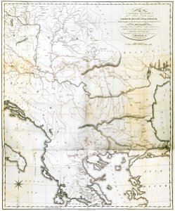
1690s maps of eastern europe
maps by carolus allard
maps by willem and johannes blaeu
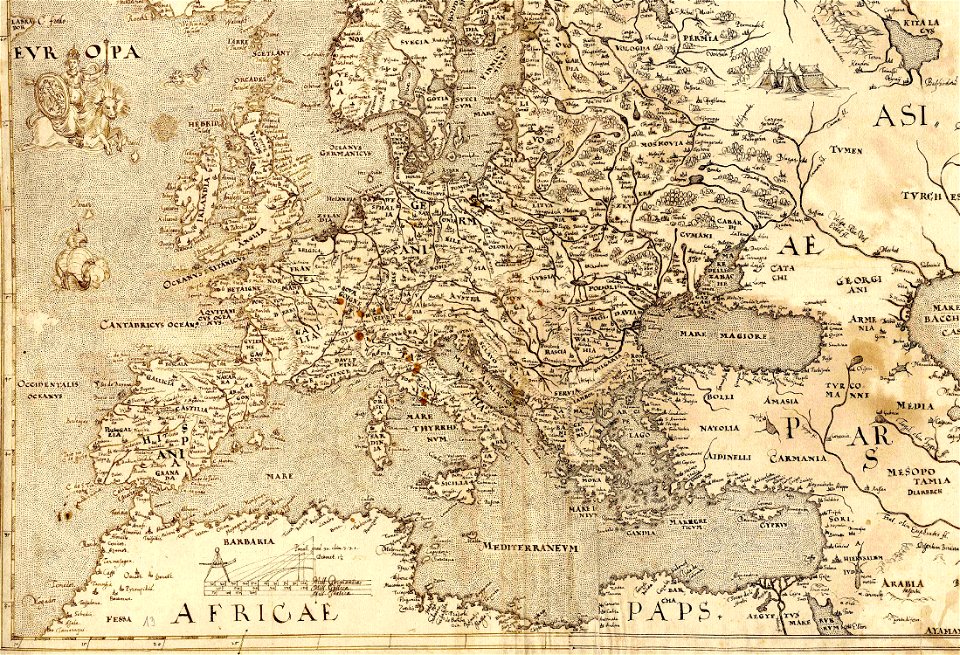
17th-century maps of europe
media from the national library of finland
classicism
media from the national library of finland
classicism
1 - 100 of 202
Next page
/ 3