Log in
All resources
Create a design
65 Free Artworks of Maps Of Holstein
bibliothèque nationale de france
18th-century maps of schleswig-holstein
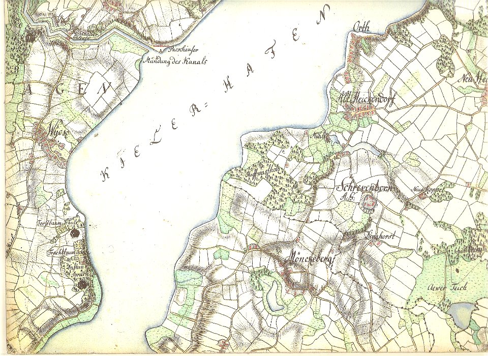
old maps of kiel
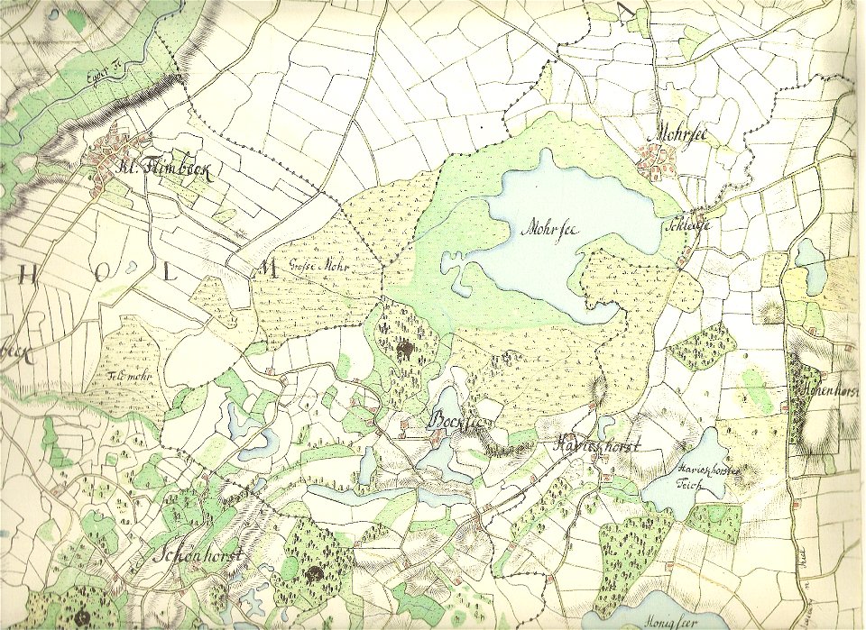
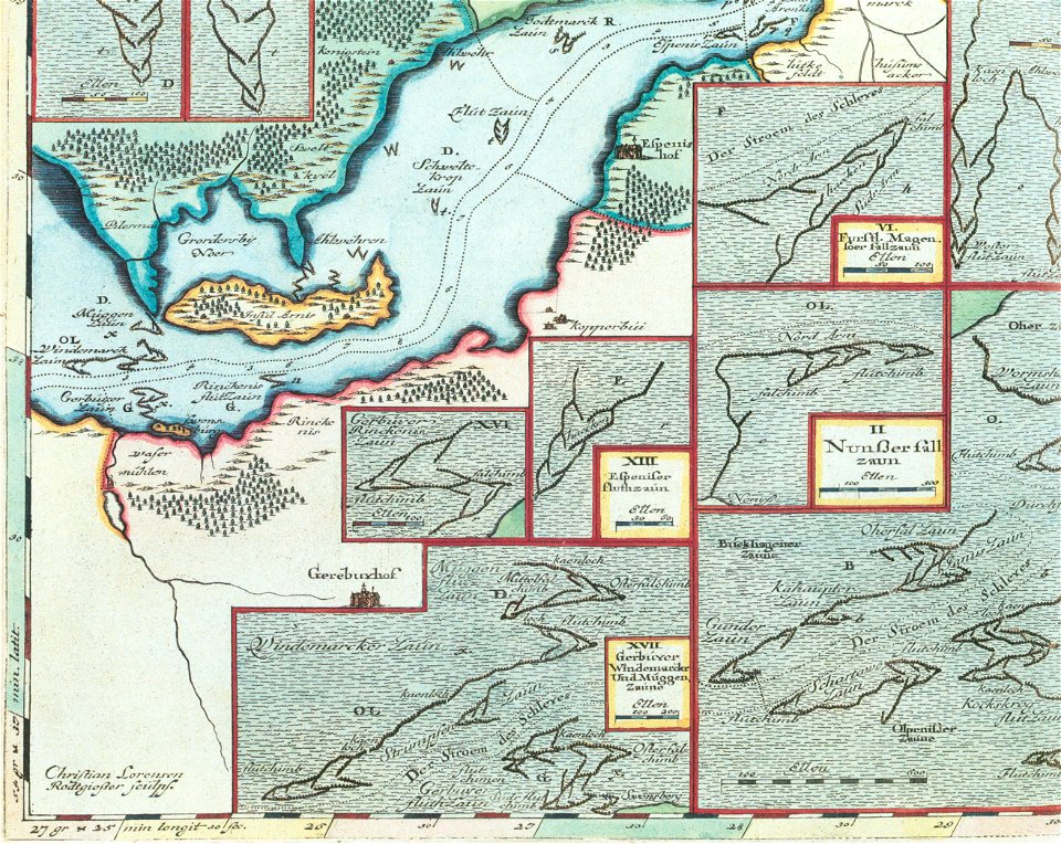
maps by gustav adolf von varendorf
17th-century maps of schleswig-holstein
schleswig-holstein meerumschlungen in wort und bild
maps by willem and johannes blaeu
atlantis magni tomus primus (biblioteca comunale di trento)
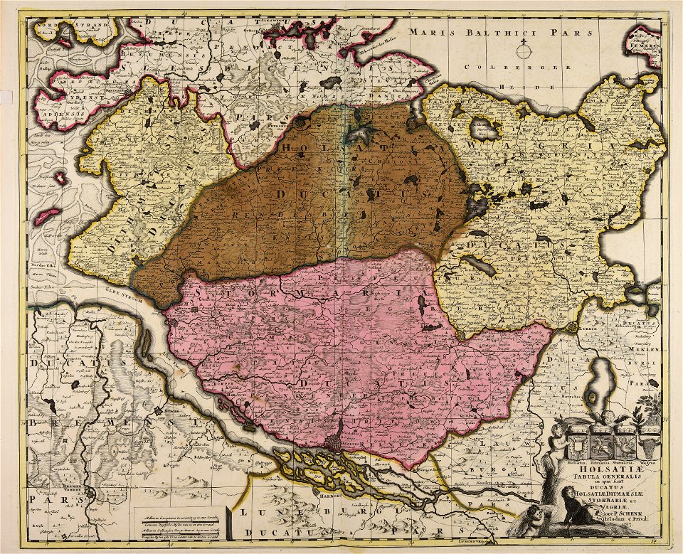
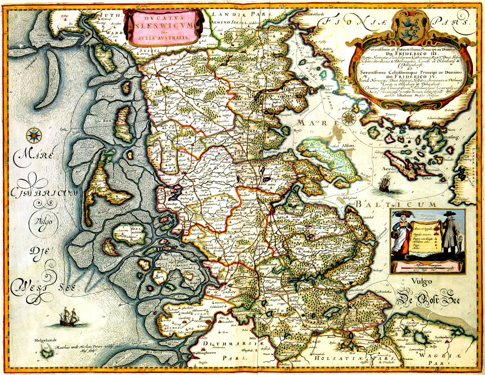
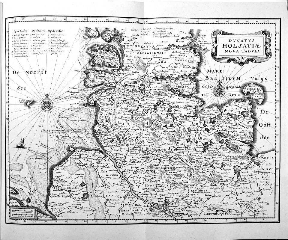
ducatus holsatiæ nova tabula
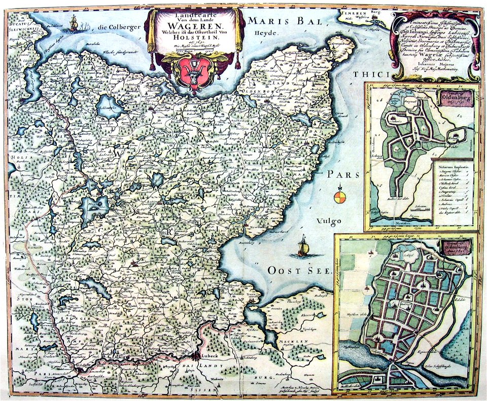
maps by johannes mejer
maps of the elbe
alster (river)
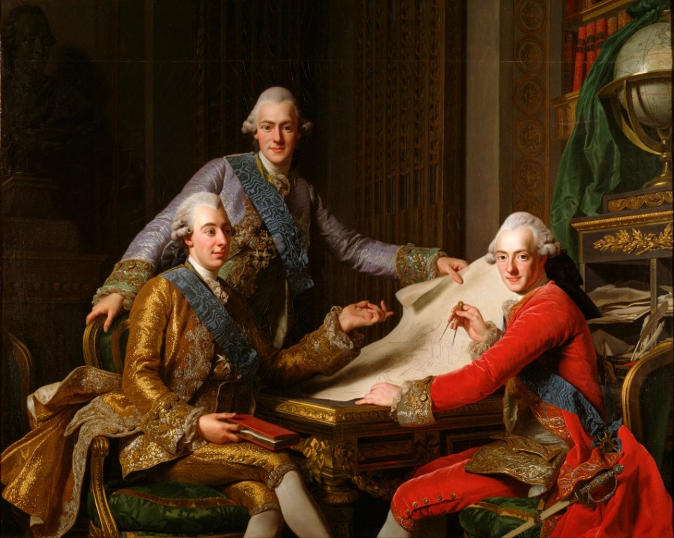
king gustav iii of sweden and his brothers (alexander roslin - nationalmuseum stockholm)
rococo
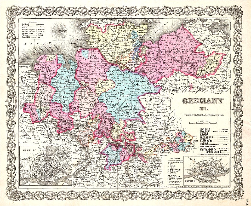
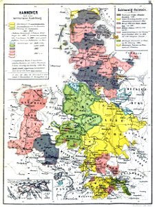
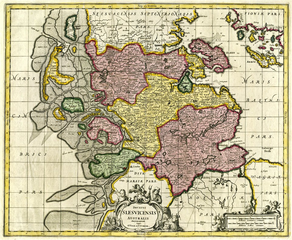
19th-century maps of lower saxony
old maps of mecklenburg
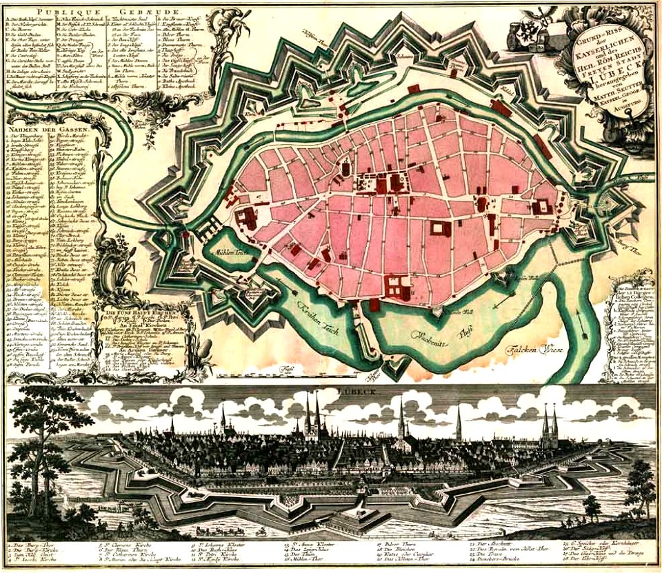
maps by matthäus seutter
lübeck-altstadt
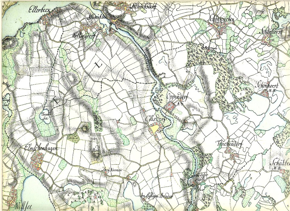
18th-century maps of schleswig-holstein
maps by gustav adolf von varendorf
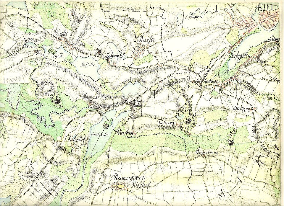
18th-century maps of schleswig-holstein
maps by gustav adolf von varendorf
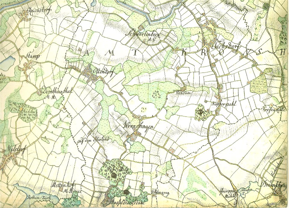
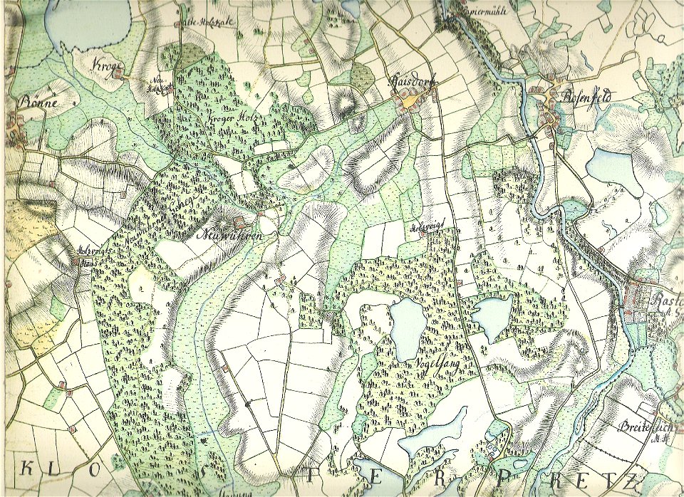
18th-century maps of schleswig-holstein
maps by gustav adolf von varendorf
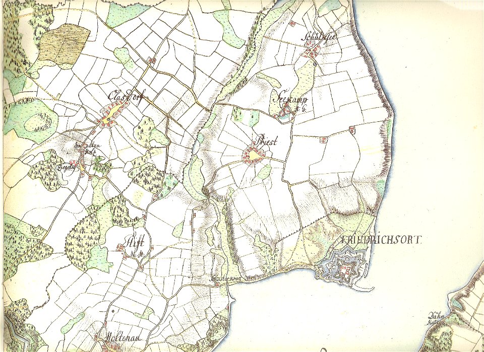
18th-century maps of schleswig-holstein
maps by gustav adolf von varendorf
18th-century maps of schleswig-holstein
maps by pieter schenk (i)
18th-century maps of schleswig-holstein
maps by gustav adolf von varendorf
18th-century maps of schleswig-holstein
maps by gustav adolf von varendorf
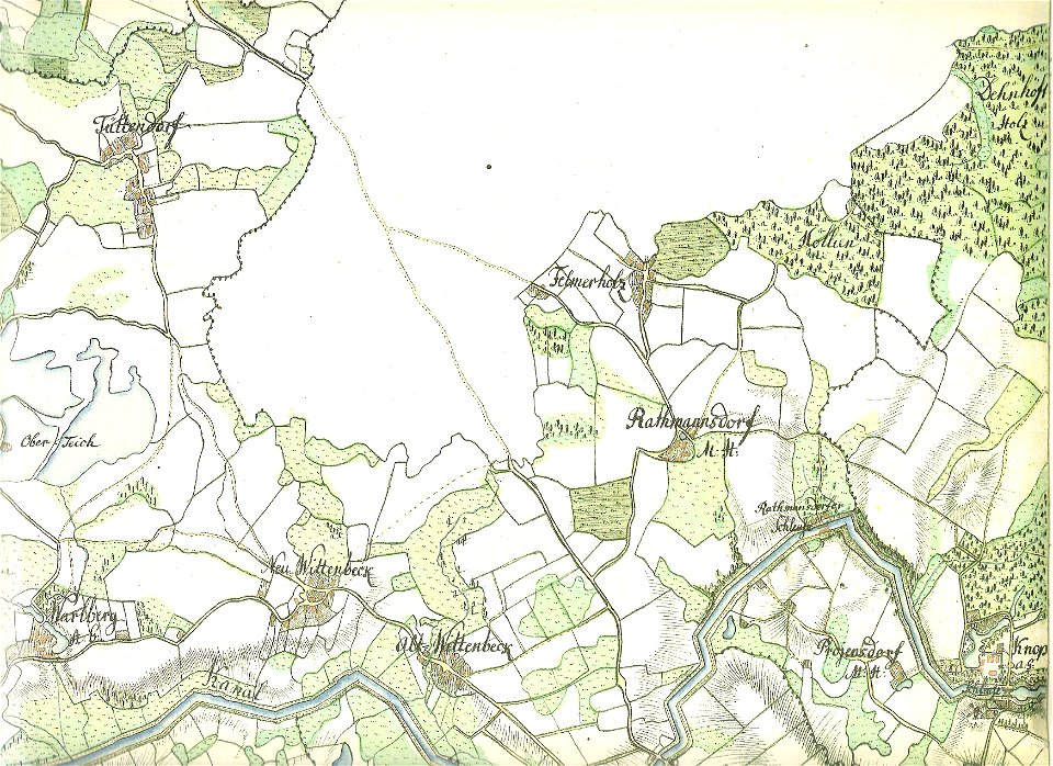
18th-century maps of schleswig-holstein
maps by gustav adolf von varendorf
18th-century maps of schleswig-holstein
maps by gustav adolf von varendorf
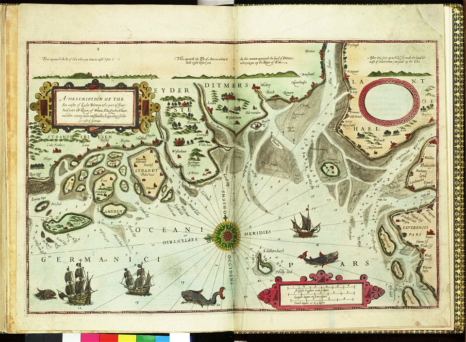
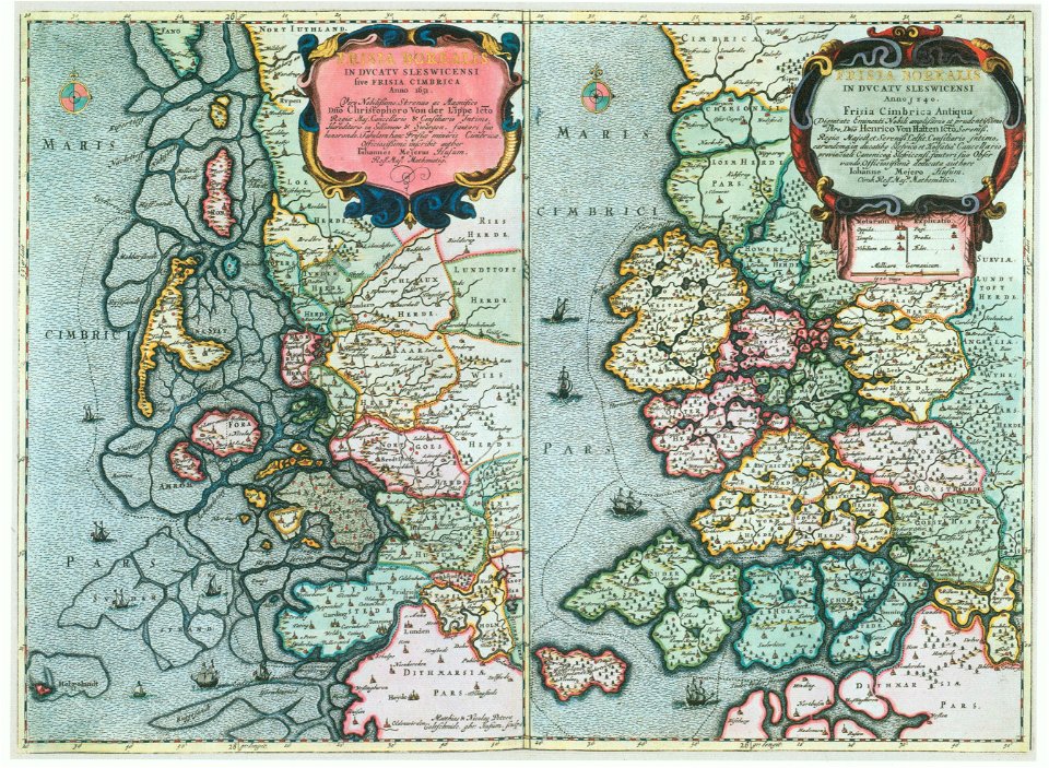
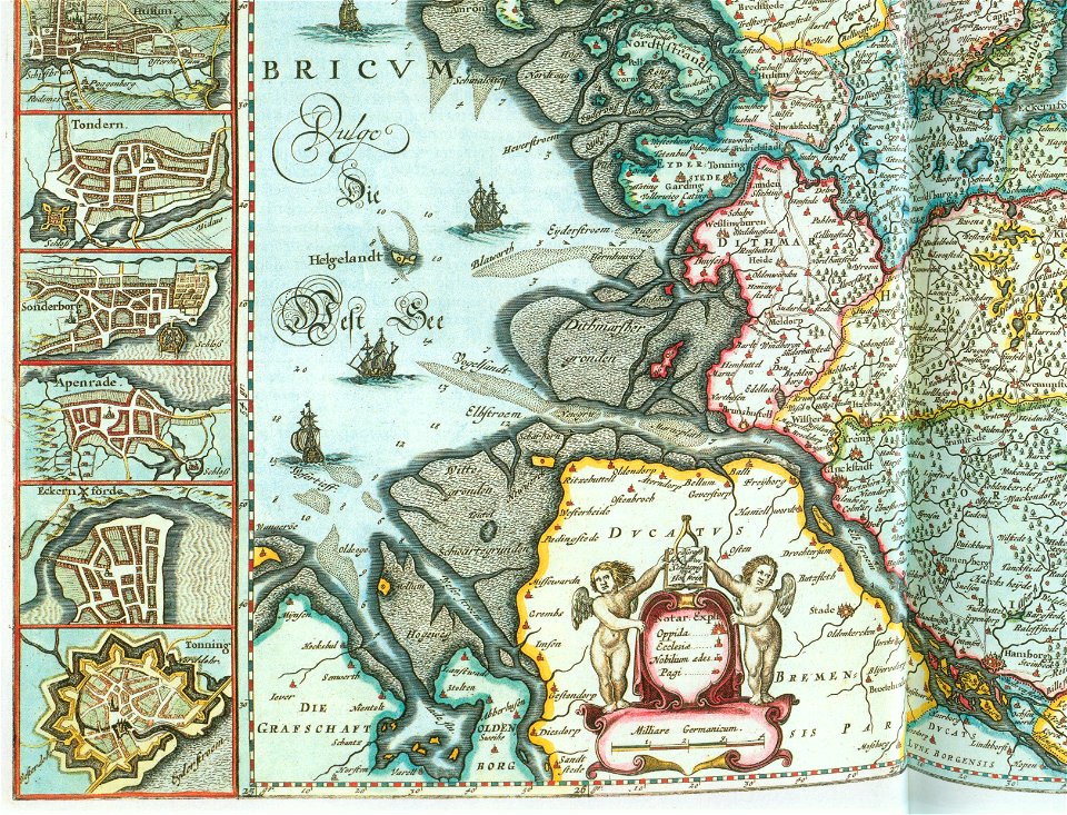
17th-century maps of schleswig-holstein
tönning
atlantis magni tomus primus (biblioteca comunale di trento)
17th-century maps of schleswig-holstein
atlantis magni tomus primus (biblioteca comunale di trento)
17th-century maps of schleswig-holstein
grand
bill
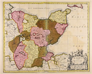
maps with cartouches
atlas van der hagen
atlantis magni tomus primus (biblioteca comunale di trento)
maps made in the 17th century
maps from the mechanical curator collection
1869 maps
german bight
1588 maps
17th-century maps of schleswig-holstein
peninsulas of germany
17th-century maps of schleswig-holstein
nordstrand
engravings of topographia saxoniae inferioris
baroque
atlas novus (blaeu)
ships on maps
maps of schleswig-holstein in the atlas maior
maps by johannes mejer
17th-century maps of schleswig-holstein
maps of kreis nordfriesland
maps by willem and johannes blaeu
old maps of friesland
maps of territories in the lower saxony circle
maps by john cary
maps, prints and photographs in royal danish library
old maps of kiel
schleswig-holstein meerumschlungen in wort und bild
historical images of schleswig-holstein
nova & accurata ducatuum slesvici et holsatiae tabula
old maps of neuwerk
17th-century maps of schleswig-holstein
maps by pieter schenk (i)
maps by willem and johannes blaeu
ducatus holsatiæ nova tabula
maps of schleswig-holstein in the atlas maior
maps by johannes mejer
maps by willem and johannes blaeu
ducatus holsatiæ nova tabula
nova & accurata ducatuum slesvici et holsatiae tabula
maps in the library of congress
1870 cartoons
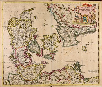
1800s maps of denmark
1801 maps of europe
maps of eckernförde by braun & hogenberg
1620 in schleswig-holstein
maps of bremen by braun & hogenberg
maps of stade by braun & hogenberg
maps of hamburg by braun & hogenberg
maps of lübeck by braun & hogenberg
parts of old maps of hamburg
maps of hamburg-sternschanze
schleswig-holstein meerumschlungen in wort und bild
schleswig-holstein meerumschlungen in wort und bild
schleswig-holstein meerumschlungen in wort und bild
schleswig-holstein meerumschlungen in wort und bild
schleswig-holstein meerumschlungen in wort und bild
schleswig-holstein meerumschlungen in wort und bild
accuratissima sliae fluminis descriptio
maps by johannes mejer
schleswig-holstein meerumschlungen in wort und bild
løgumkloster kirke
maps of flensburg by braun & hogenberg
maps of itzehoe by braun & hogenberg
maps of hamburg by braun & hogenberg
maps of lübeck by braun & hogenberg
maps of tönning by braun & hogenberg
maps of husum by braun & hogenberg
nova & accurata ducatuum slesvici et holsatiae tabula
old maps of kiel
maps of tönning by braun & hogenberg
maps of husum by braun & hogenberg
maps of haderslev by braun & hogenberg
maps of husum by braun & hogenberg
atlas sive cosmographicae (gerardus mercator, 1623)
maps of holstein by gerardus mercator
lucas janszoon waghenaer
maps facing east
maps of tønder by braun & hogenberg
maps of eutin by braun & hogenberg
atlas sive cosmographicae (gerardus mercator, 1630)
maps of holstein by gerardus mercator
maps of meldorf by braun & hogenberg
maps of heide by braun & hogenberg
maps of meldorf by braun & hogenberg
maps of heide by braun & hogenberg
maps of eckernförde by braun & hogenberg
bibliothèque nationale de france
maps of heide by braun & hogenberg
bibliothèque nationale de france
1 - 65 of 65
/ 1