Log in
All resources
Create a design
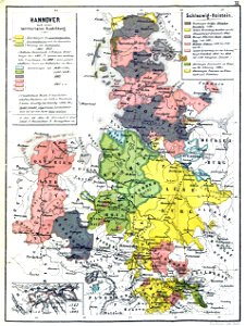
Hannover nach seiner territorialen Ausdehnung
Download
Edit image
Published by:
Creazilla
Author:
Fix W.
Source:
commons.wikimedia.org
Loading...
0 downloads
Print it
Copy image
Loading...
maps from the mechanical curator collection
1869 maps
im auschluss an zehn historische karten übersichtlich dargestellt von fix w.
die territorialgeschichte des brandenburgisch preussischen staates
1860s maps of lower saxony
1860s maps of schleswig-holstein
lower saxony in the 1810s
MORE LIKE THIS