Log in
All resources
Create a design
26,489 Free Artworks of Map
bibliothèque nationale de france
maps by willem and johannes blaeu
maps in the library of congress
latin-language maps
gemeente atlas van nederland - south holland
1860s maps of south holland
maps of paris from paris musées
turgot map of paris, musée carnavalet
maps of paris by paul dujardin
atlas des anciens plans de paris by imprimerie nationale, 1880 from the musée carnavalet
old maps of regions of france
daniel de la feuille
landais & oberthur
maps from gallica
atlas geographico del reyno de españa e islas adjacentes (1757)
1757 maps of spain
curt teich postcard archives
postcard collecting
latin-language maps
bologna ptolemy
old submaps of paris 1er arrondissement
paris in the 18th century
19th-century maps of bohemia
1870s maps of czechia
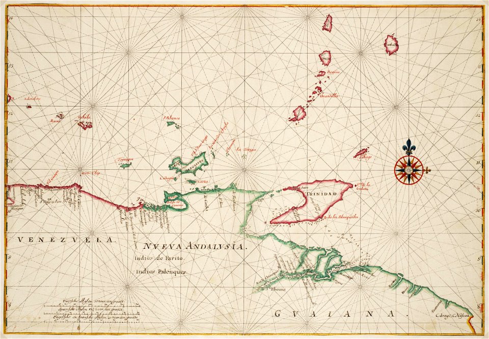
maps of the west-indische compagnie
1665
maps of paris from bibliothèque nationale de france
nouveau plan de paris by louis brion de la tour
gemeente atlas van nederland - south holland
maps of heenvliet
fire and sword in the sudan (1896) by slatin
maps from the mechanical curator collection
amérique méridionale (1748, d'anville)
rococo
eran laor cartographic collection
edward weller
bernhard von breydenbach
erhard reuwich
nieuwe en beknopte hand-atlas (1754)
old maps of the strait of gibraltar
print room of the university of antwerp
citadel van antwerpen
maps of canterbury by braun & hogenberg
william smith (herald and playwright)
maps of paris from bibliothèque nationale de france
bird's eye view maps of paris
maps in the library of congress
1670 maps
1640s maps of the tsardom of russia
17th-century maps of circassia
maps from the earth and its inhabitants, vol. vi
1891 maps of georgia
illustrations from découverte de la terre
19th-century maps of cities
sanborn maps of manhattan published in 1903
gramercy park
maps of paris from the barry lawrence ruderman antique maps inc.
plan de turgot
petit atlas pittoresque des 48 quartiers de la ville de paris, bhvp
proletarian literature
latin-language maps
german renaissance
gemeente atlas van nederland - north holland
maps of haarlemmermeer
maps from the earth and its inhabitants, vol. xii
africa in the 1890s
gemeente atlas van nederland - south holland
old maps of gorinchem
gemeente atlas van nederland - south holland
old maps of dordrecht
gemeente atlas van nederland - south holland
maps of maassluis
guide joanne espagne et portugal-1915
1915 maps
maps in the british museum
1780s maps of france
17th-century maps of sri lanka
robert knox
maps made in the 16th century
theodor de bry
18th-century maps of new orleans
maps in the library of congress
maps of cities in venezuela
maps by juan lopez
j. l. k. van dort
maps of colombo
collection des cent
gil baër
old maps of north brabant
1645 maps of belgium
maps of frankfurt (main) by braun & hogenberg
frankfurt-altstadt
english-language maps of asia
maps by john cary
maps by pieter schenk (i)
maps by gerard valck
maps of paris from paris musées
plan de turgot
flood of paris in 1740
philippe buache
latin-language maps
bologna ptolemy
latin-language maps
bologna ptolemy
latin-language maps
bologna ptolemy
maps by willem and johannes blaeu
atlas van loon
woodcuts in the universitätsbibliothek salzburg
wolf-dietrich-klebeband städtebilder
maps by willem and johannes blaeu
1649 maps
maps by alexis-hubert jaillot
old maps of poland
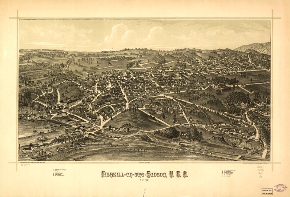
maps in the library of congress
1886 maps of new york (state)
maps in the library of congress
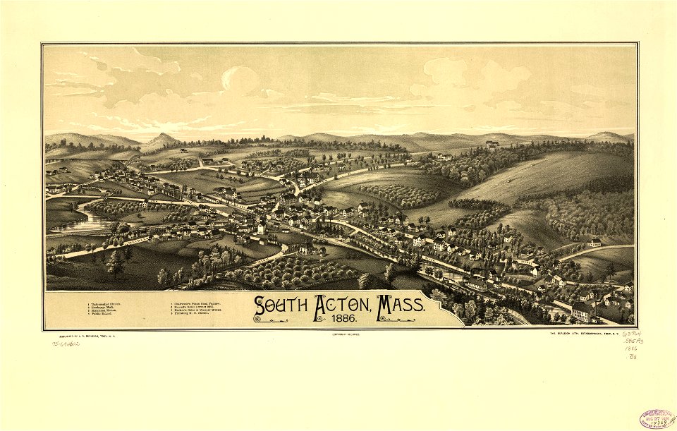
1887 maps of massachusetts
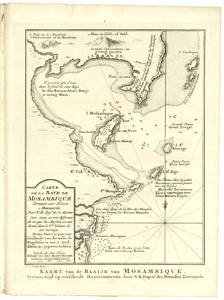
old maps of mozambique
1750 maps of africa
maps in the library of congress
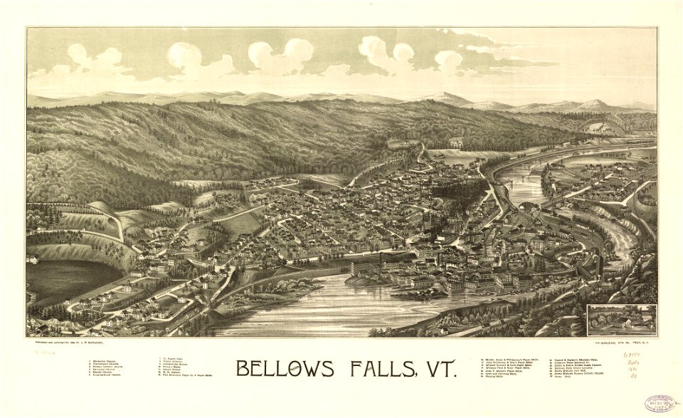
1886 maps of vermont
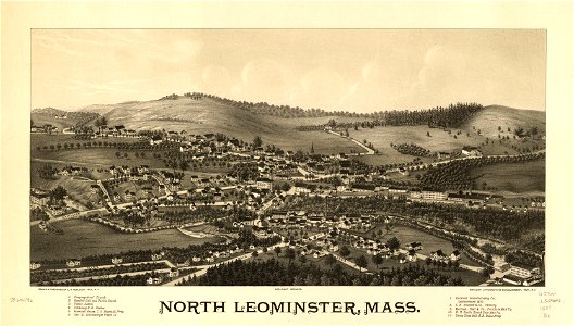
maps in the library of congress
1886 maps of massachusetts
beschreibung der städt der welt - braun & hogenberg - btv1b52512111k
maps of wissembourg by braun & hogenberg
17th-century maps of lorraine
old maps of pays messin
17th-century maps of lower saxony
maps of the duchy of oldenburg
landais & oberthur
maps from gallica
maps of westminster by john norden (1593)
maps by pieter van der keere
beschreibung der städt der welt - braun & hogenberg - btv1b52512111k
maps of nuremberg by braun & hogenberg
beschreibung der städt der welt - braun & hogenberg - btv1b52512111k
maps of wittenberg by braun & hogenberg
18th-century maps of switzerland
daniel de la feuille
asia noviter delineata
native indonesians
1810 maps of north america
1810 maps of mexico
lawrence h. slaughter collection of english maps, charts, globes, books and atlases
nypl lionel pincus and princess firyal map division
1740s maps of the caucasus
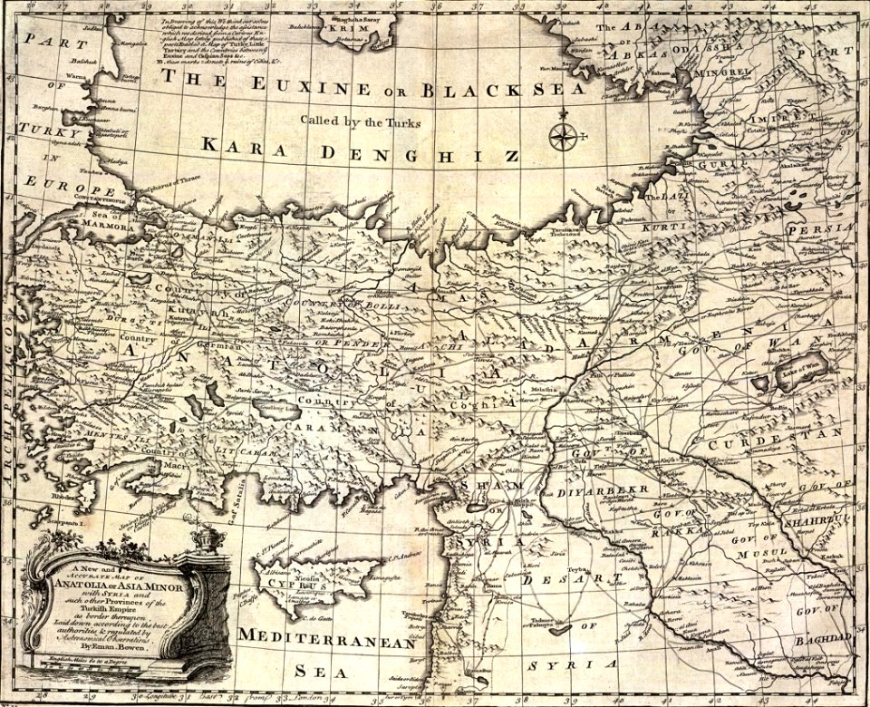
maps by emanuel bowen
maps by willem and johannes blaeu
1635 maps of africa
1660s maps of spain
1667 maps
maps by emanuel bowen
robert sayer
tourism advertising posters of germany
spanish-language maps
ordnance survey 1:25000 maps (full sheets)
uphall, west lothian
mannheim in the 17th century
baroque
1640s maps of north rhine-westphalia
maps by willem and johannes blaeu
18th-century maps of zeeland
maps by isaak tirion
maps from the earth and its inhabitants, vol. xi
algeria in the 1800s
spanish-language maps
1935 maps of germany
maps of the umayyad caliphate (damascus)
old maps of the caliphate
maps by willem and johannes blaeu
seventeen provinces
atlas schoemaker-noord-holland, amsterdam
old maps of amsterdam
old maps of cities in france
old maps of dunkerque
romanticism
1557 maps
turgot map of paris, musée carnavalet
maps of paris from paris musées
turgot map of paris, musée carnavalet
maps of paris from paris musées
turgot map of paris, musée carnavalet
maps of paris from paris musées
turgot map of paris, musée carnavalet
maps of paris from paris musées
works by georg matthäus vischer
1678 maps
17th-century maps of slovenia
17th-century maps of istria
maps from the mechanical curator collection available to georeference
maps from the mechanical curator collection
maps in the rijksmuseum amsterdam
1820s maps of europe
gemeente atlas van nederland - south holland
strevelshoek
maps from the earth and its inhabitants, vol. vii
charles eugène perron
maps from the earth and its inhabitants, vol. iv
chorley, england
victor levasseur - maps of the world
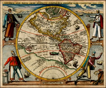
old maps of north america
leicester square
leicester house
maps from the earth and its inhabitants, vol. xii
maps of africa
17th-century maps of istanbul
maps by jan janssonius
maps from the earth and its inhabitants, vol. xii
maps of africa
2201 - 2300 of 26,489
Next page
/ 265