Log in
All resources
Create a design
324 Free Artworks of 17th Century Maps Of France
bibliothèque nationale de france
maps with cartouches
atlas van der hagen
atlas van der hagen (volume 3)
maps made in the 17th century
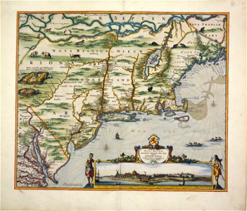
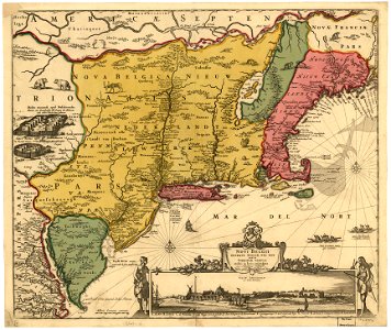
old maps of new france
maps by pieter van der keere
maps by willem and johannes blaeu
adriaen van der donck
1685 maps
maps in musée de la compagnie des indes
17th-century engravings
maps made in the 17th century
maps by nicolas sanson
maps made in the 17th century
johann christoph steinberger
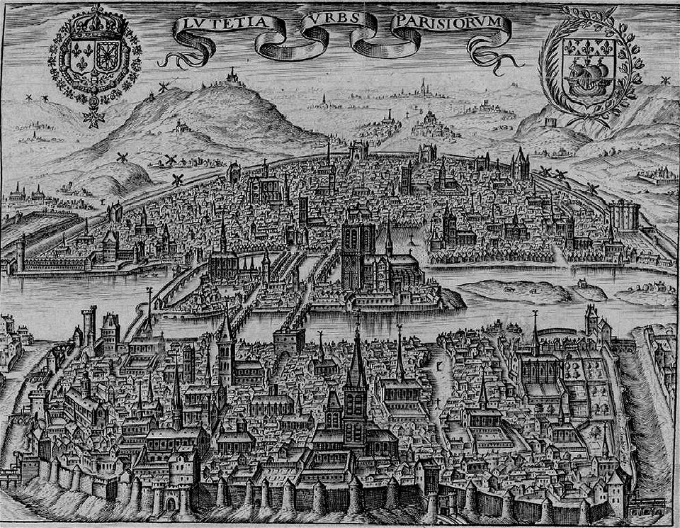
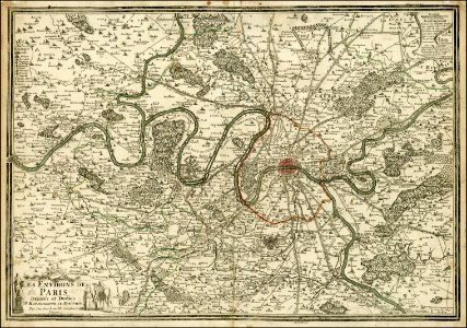
paris in the 17th century
claude chastillon
maps of the dutch republic
nicolaes van geelkercken
rue de siam (brest
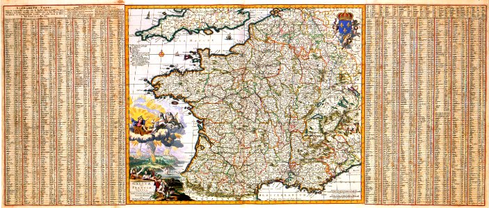
france
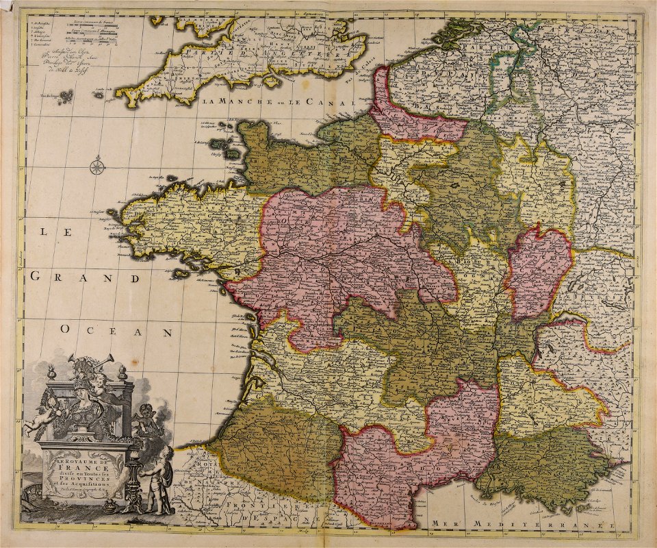
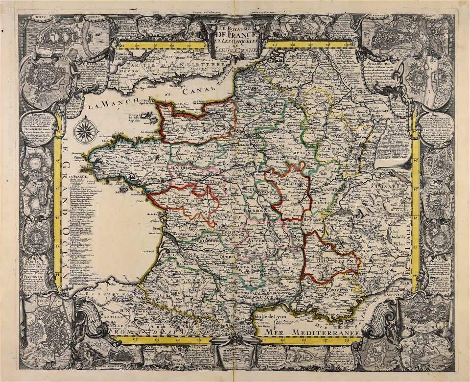
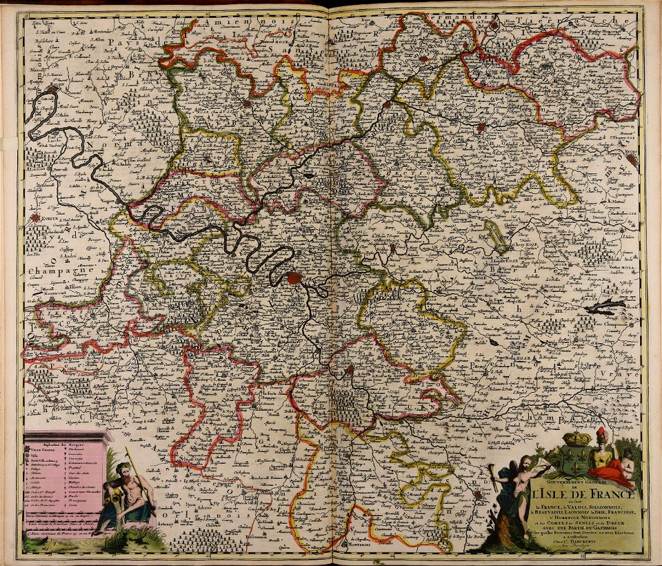
17th-century maps of france
maps with cartouches
maps made in the 17th century
cornelis danckerts (i)
17th-century maps of france
maps with cartouches
17th-century maps of france
maps with cartouches
17th-century maps of france
maps with cartouches
maps with cartouches
vercelli
17th-century maps of france
maps with cartouches
maps of paris from the barry lawrence ruderman antique maps inc.
maps of paris in the 1760s
brest (france) in the 17th century
1696 in bretagne
1696 in bretagne
1696 maps
17th-century maps of france
maps with cartouches
maps with cartouches
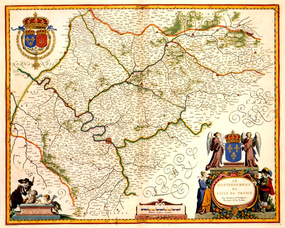
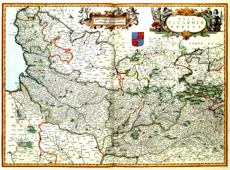
history of picardie
17th-century maps of france
maps with cartouches
historical images of orléans
maps with cartouches
17th-century maps of france
maps with cartouches
17th-century maps of france
maps with cartouches
17th-century maps of france
maps with cartouches
17th-century maps of france
maps with cartouches
17th-century maps of france
maps with cartouches
17th-century maps of france
maps with cartouches
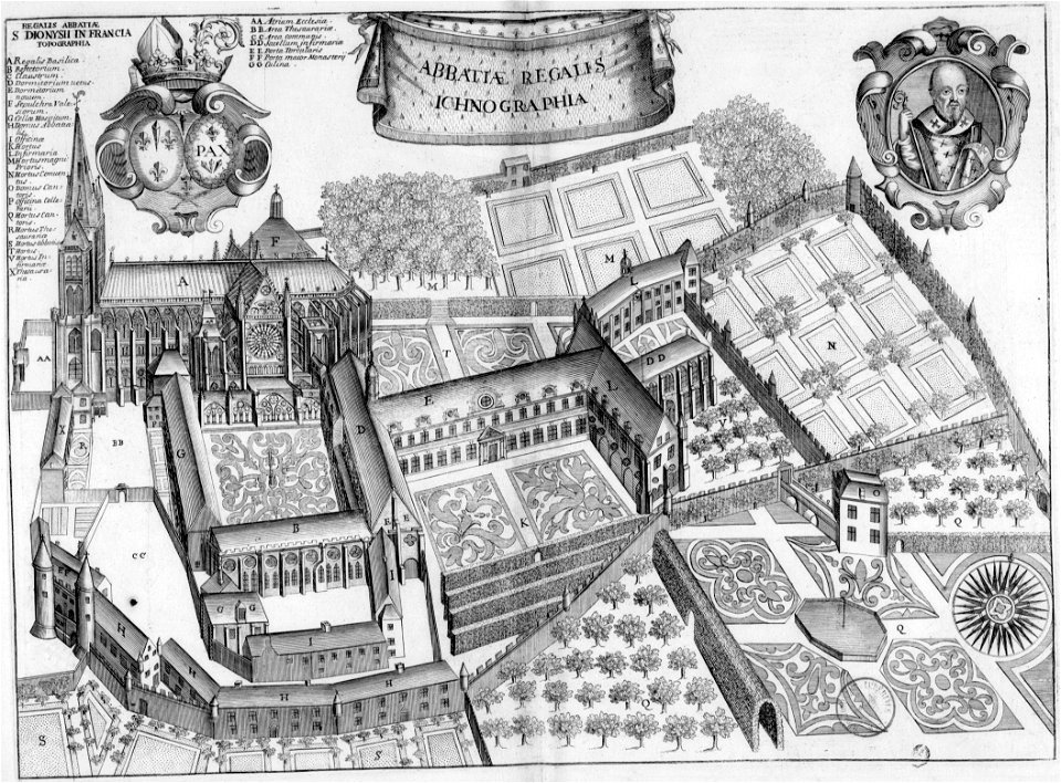
maps of saint-denis (seine-saint-denis)
17th-century works in france
maps made in the 17th century
adriaen van der donck
democritus by velazquez
baroque
17th-century maps of the black sea
maps by pieter van der keere
sanson maps of asia
company land
maps in the library of congress
adriaen van der donck
maps in the library of congress
adriaen van der donck
borders of andorra-france
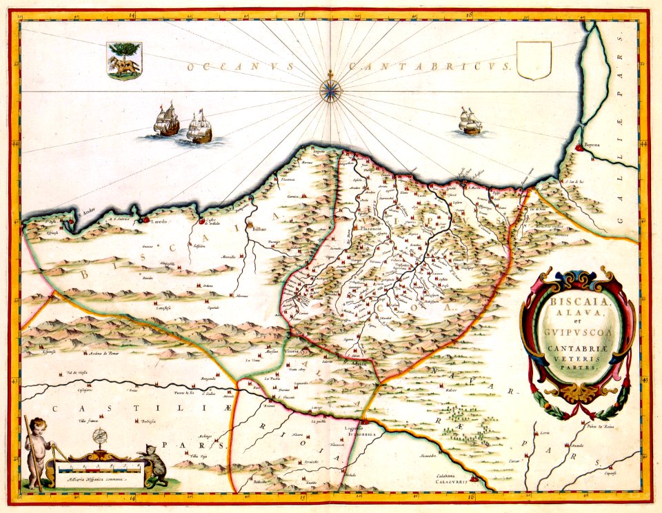
maps of borders of spain
17th-century maps of asia
maps from gallica
17th-century paintings of soldiers
lambert de hondt (ii)
pierre i lepautre
claude perrault
maps in the library of congress
adriaen van der donck
maps of the west-indische compagnie
1800 maps of the united states
novus atlas sinensis
old maps of shandong
1650s maps of china
1655 maps of asia
maps in the library of congress
adriaen van der donck
maps by pieter van der keere
maps by abraham ortelius
17th-century maps of africa
maps from gallica
old maps of geneva
baroque
lawrence h. slaughter collection of english maps, charts, globes, books and atlases
maps of nieuw nederland
maps by pieter van der keere
details of old maps
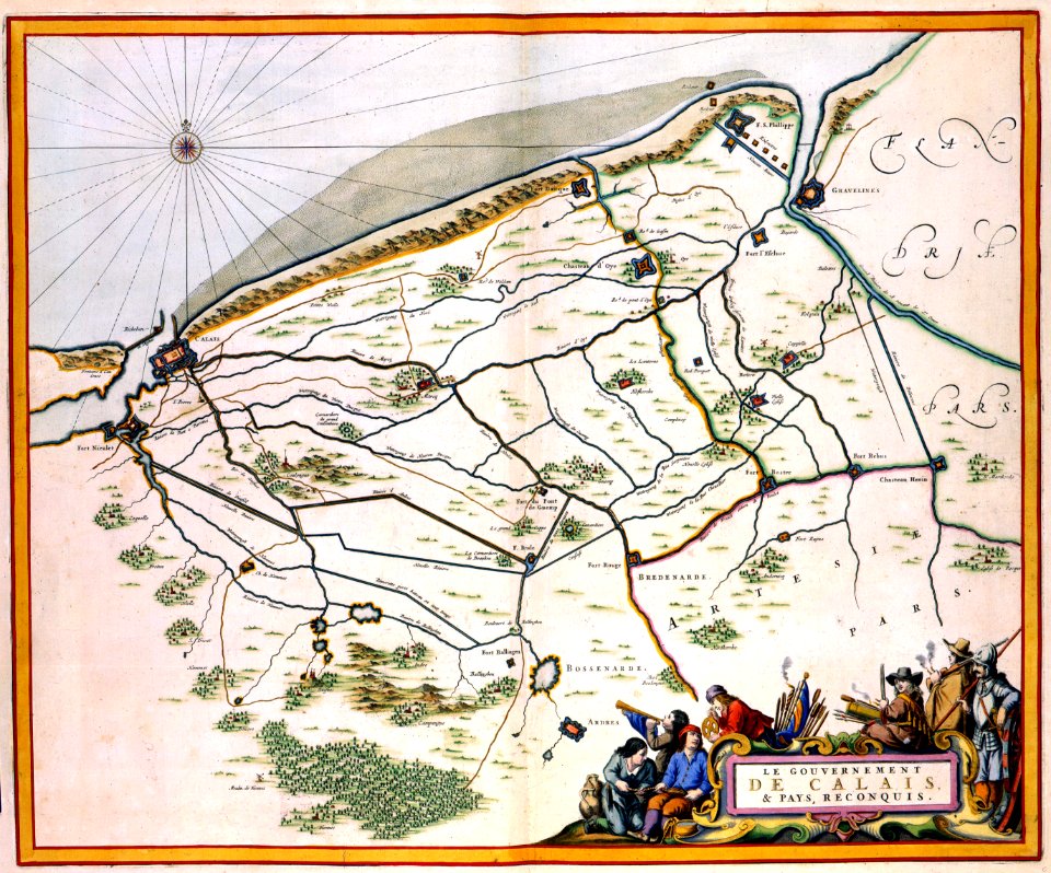
siege of gravelines (1644)
atlas van loon
maps of the ottoman empire by mercator-hondius
eran laor cartographic collection
maps by pieter van der keere
maps by abraham ortelius
pierre i lepautre
claude perrault
maps of ancient italy by philipp clüver
maps of ancient sicily
tresor des cartes geographiques (1659)
1650s maps of india
maps by guillaume sanson
maps by nicolas sanson
coats of arms of the abbey of saint-denis
drawings of basilique saint-denis
17th-century maps of mecklenburg-vorpommern
johann lauremberg
tresor des cartes geographiques (1659)
17th-century maps of siberia
17th-century maps of the americas
maps from gallica
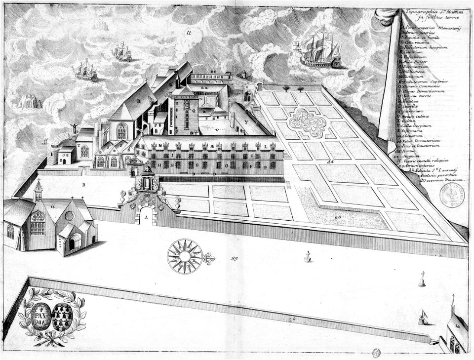
abbaye de saint-mathieu de fine-terre
plougonvelin in art
maps of the ottoman empire by mercator-hondius
eran laor cartographic collection
maps by pieter van der keere
old maps of basel
1645 maps of belgium
tournaisis
maps by pieter van der keere
old maps of north brabant
maps of the ottoman empire by mercator-hondius
eran laor cartographic collection
turgot map of paris, norman b. leventhal map center
sheet 19 of the turgot map of paris
maps by pieter van der keere
ships on maps
17th-century maps of europe
maps by carolus allard
maps of île-de-france by françois de la guillotière
context files from gallica
maps by willem and johannes blaeu
17th-century maps of sumatra
17th-century maps of the indian ocean
maps by willem and johannes blaeu
maps by willem and johannes blaeu
chami empire
17th-century maps of the americas
maps by jodocus hondius
maps of brest from bibliothèque nationale de france
brest (france) in the 1700s
17th-century maps of the americas
maps by jodocus hondius
maps by willem and johannes blaeu
17th-century maps of asia
17th-century maps of the americas
maps by jodocus hondius
17th-century maps of the americas
maps by willem and johannes blaeu
17th-century maps of the americas
maps by willem and johannes blaeu
maps of the ottoman empire by mercator-hondius
eran laor cartographic collection
maps of the ottoman empire by mercator-hondius
eran laor cartographic collection
maps of dunkerque by braun & hogenberg
maps of bourbourg by braun & hogenberg
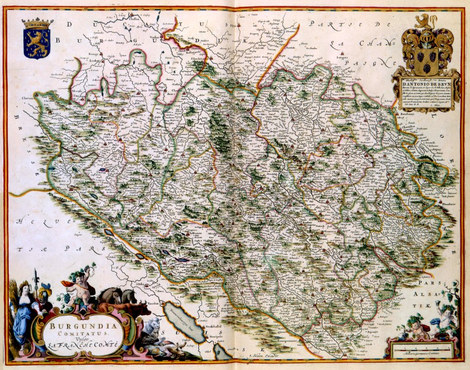
17th-century maps of bourgogne
17th-century maps of france
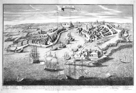
maps of brest, france by antoine aveline
17th-century maps of brest
17th-century maps of the mediterranean sea
portolan charts made in the 17th century
maps of paris from the david rumsey historical map collection
maps of paris by caspar merian
17th-century maps of bretagne
1690s maps of france
châlons-en-champagne in the 17th century
hugues picart
engravings by israël silvestre
spain in the 17th century
old maps of clermont-ferrand
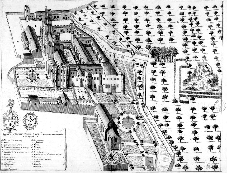
monasticon gallicanum
17th-century maps of the holy roman empire
maps by pieter van der keere
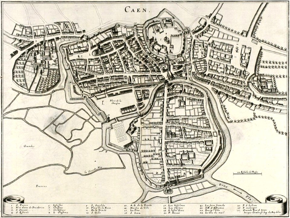
old maps of caen
baroque
dessin du château de brest
old maps of brest harbours
17th-century maps of xaintonge
maps by jodocus hondius
18th-century maps of north america
1708 maps of north america
17th-century maps of cambridgeshire
old county maps of cambridgeshire
tresor des cartes geographiques (1659)
17th-century maps of silesia
17th-century maps of marseille
baroque
old maps of gdańsk
baroque
17th-century maps of crete
old maps of candia
maps by willem and johannes blaeu
1640 maps of africa
1 - 100 of 324
Next page
/ 4


![Siciliae antiquae descriptio. 15; Corsicae antiquae descriptio. 16; Sardiniae antiquae descriptio / auctore Phil[ippo] Cluverio; Henry le Roy fecit, 1624](https://cdn.creazilla.com/illustrations/10001349357/siciliae-antiquae-descriptio-15-corsicae-antiquae-descriptio-16-sardiniae-antiquae-descriptio-auctore-phil-ippo-cluverio-henry-le-roy-fecit-1624-sm.jpg)
![Treasure of geographical maps of the main states of the universe [...], 1659](https://cdn.creazilla.com/illustrations/10001176343/treasure-of-geographical-maps-of-the-main-states-of-the-universe-1659-md.jpg)


![Treasure of geographical maps of the main states of the universe [...], 1659](https://cdn.creazilla.com/illustrations/10000859170/treasure-of-geographical-maps-of-the-main-states-of-the-universe-1659-md.jpg)

