Log in
All resources
Create a design
14 Free Artworks of 17th Century Maps Of Sumatra
maps by willem and johannes blaeu
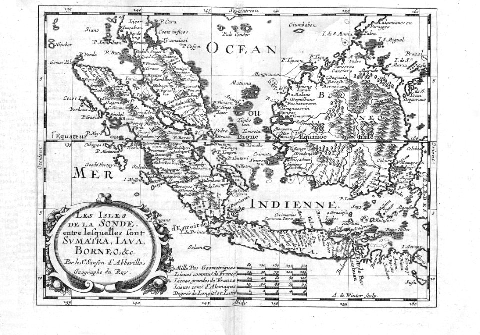
17th-century maps of the indian ocean
bibliothèque nationale de france
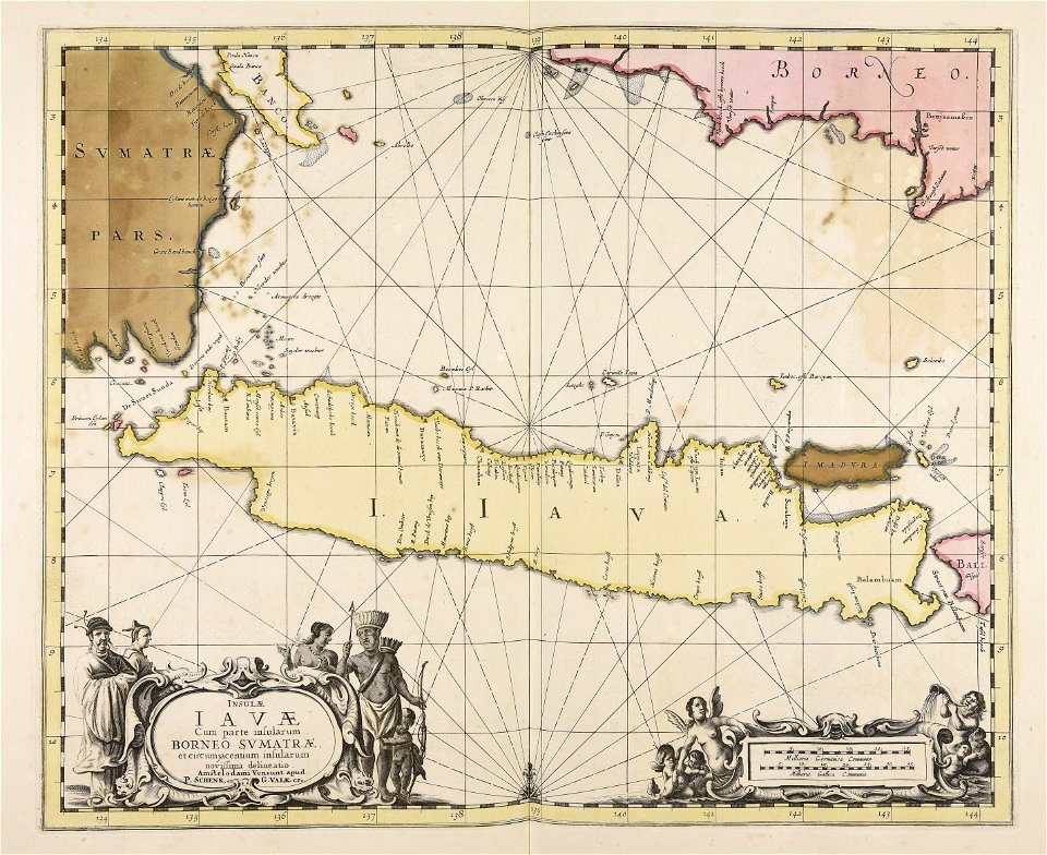
gerard valck
atlantis magni tomus quintus (biblioteca comunale di trento)
maps by pieter schenk (i)
maps made in the 17th century
history of sumatra
portolan charts by willem and johannes blaeu
old maps of the dutch east india company
17th-century maps of sri lanka
description de l'universe
maps made in the 17th century
gerard valck
17th-century maps of indonesia
1614
maps made in the 17th century
gerard valck
van langren map of southeast asia
1619 maps of asia
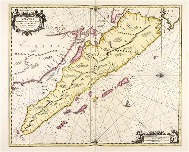
17th-century maps of sumatra
maps by gerard valck
portolan charts by willem and johannes blaeu
dutch east india company
media from atlas of mutual heritage on dutch east india company
portolan charts by willem and johannes blaeu
maps by willem and johannes blaeu
17th-century maps of sumatra
17th-century maps of the indian ocean
maps by willem and johannes blaeu
17th-century maps of the indian ocean
maps by willem and johannes blaeu
17th-century maps of the indian ocean
maps by willem and johannes blaeu
cartography
maps
17th-century engravings in the rijksmuseum amsterdam
old maps of banten
1 - 14 of 14
/ 1