Log in
All resources
Create a design
14 Free Artworks of 17th Century Maps Of The Holy Roman Empire
bibliothèque nationale de france
maps by pieter van der keere
sanson map of the german empire (17th century)
sanson maps of the circles of germany
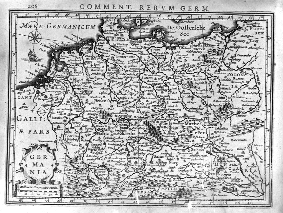
17th-century maps of lower saxony
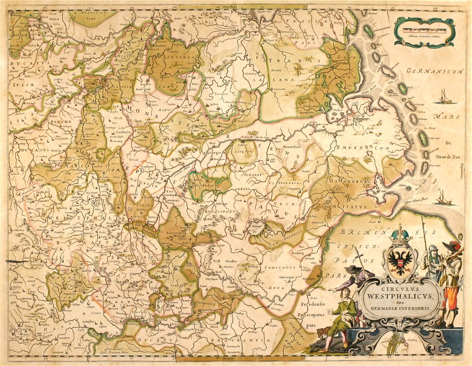
atlas novus (blaeu)
jacques surhon
17th-century maps of luxembourg
cartography
europe
17th-century maps of lower saxony
atlas novus (blaeu)
kingdom of bohemia (1627-1740)
17th-century maps of bohemia
17th-century maps of the holy roman empire
maps by pieter van der keere
maps by willem and johannes blaeu
1640 maps
sanson map of the german empire (17th century)
sanson maps of the circles of germany
sanson map of the german empire (17th century)
sanson maps of the circles of germany
sanson map of the german empire (17th century)
sanson maps of the circles of germany
1610s maps of the holy roman empire
jacques surhon
17th-century maps of luxembourg
maps by pieter van der keere
cartography
maps
17th-century maps of the holy roman empire
maps by pieter van der keere
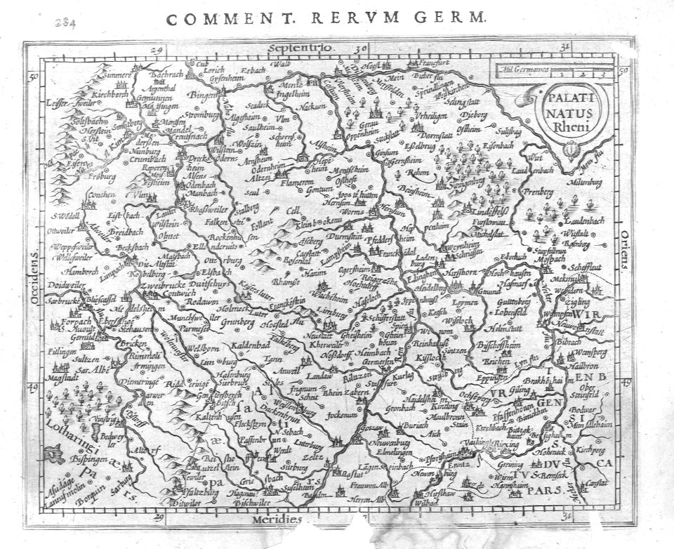
maps of the course of the rhine by guillaume sanson
bibliothèque nationale de france
maps of the course of the rhine by guillaume sanson
bibliothèque nationale de france
cartography
maps
1 - 14 of 14
/ 1