Log in
All resources
Create a design
27,441 Free Images of Maps
bibliothèque nationale de france
maps in the library of congress
maps by willem and johannes blaeu
eran laor cartographic collection
miniature speed atlas (1627) pieter van den keere
pieter van den keere
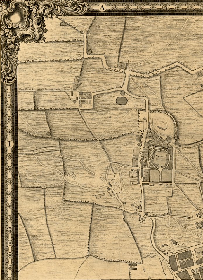
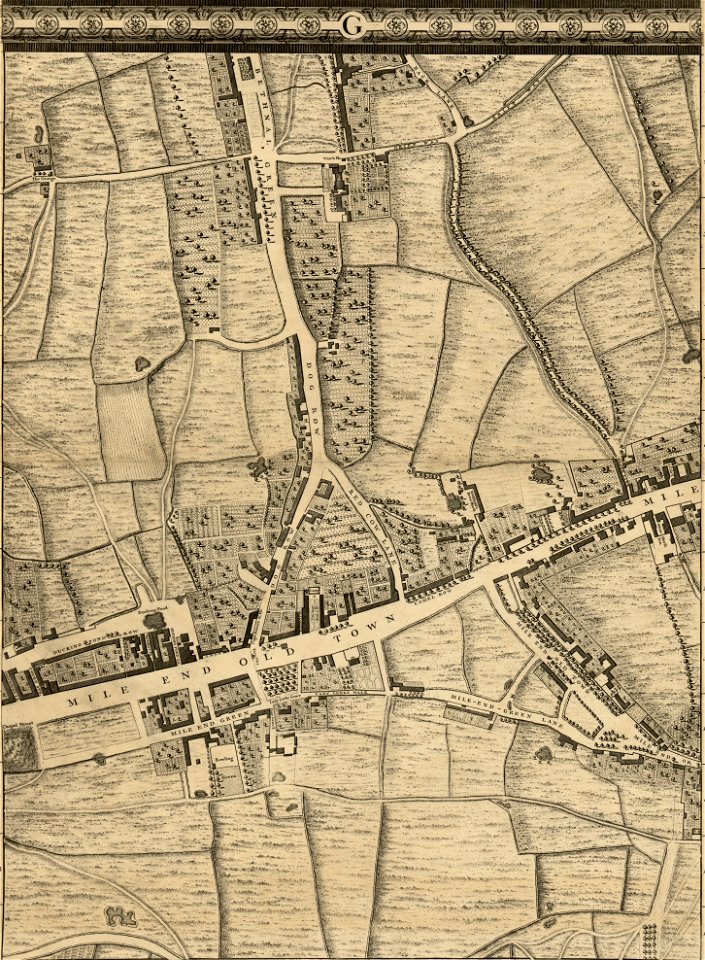
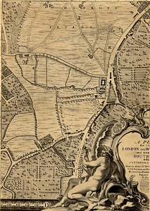
john rocque 1746 crops from library of congress
john rocque's maps of london
john rocque
joan blaeu
maps by willem and johannes blaeu
maps of wachtendonk
maps by willem and johannes blaeu
maps made in the 17th century
drawings in the museu antônio parreiras
paper and graphite
eran laor cartographic collection
édouard hocquart
istanbul in the 1780s
maps by tomas lopez
drawings in the museu antônio parreiras
paper and graphite
eran laor cartographic collection
johannes van den aveelen
old maps of the kingdom of naples
lago patria
brazilian paintings in the museu antônio parreiras
firmino monteiro
maps by alexis-hubert jaillot
old maps of toulouse
africa and its inhabitants, vol. ii
charles eugène perron
eran laor cartographic collection
joan blaeu
eran laor cartographic collection
edward weller
eran laor cartographic collection
german renaissance,humanism
eran laor cartographic collection
cornelis de bruyn
maps of trenton, new jersey
gregory anthony perdicaris
eran laor cartographic collection
edward weller
maps by willem and johannes blaeu
17th-century maps of sumatra
from edinburgh to the antarctic. an artist's notes and sketches during the dundee antarctic expedition of 1892-93
expedition maps
17th-century maps of the indian ocean
maps by willem and johannes blaeu
west-indische compagnie
1671
de praecipvis totivs vniversi vrbibvs, liber secvndvs (1575)
maps of methoni by braun & hogenberg
chorographia britanniae (1741-1742)
18th-century maps of cornwall
de praecipvis totivs vniversi vrbibvs, liber secvndvs (1575)
maps of dunkerque by braun & hogenberg
chorographia britanniae (1741-1742)
18th-century maps of kent
17th-century maps of dorset
maps by john speed
maps in the library of congress
1863 maps of the united states
old maps of groningen (city)
egbert haubois
victor levasseur - maps of the world
historical images of arecaceae
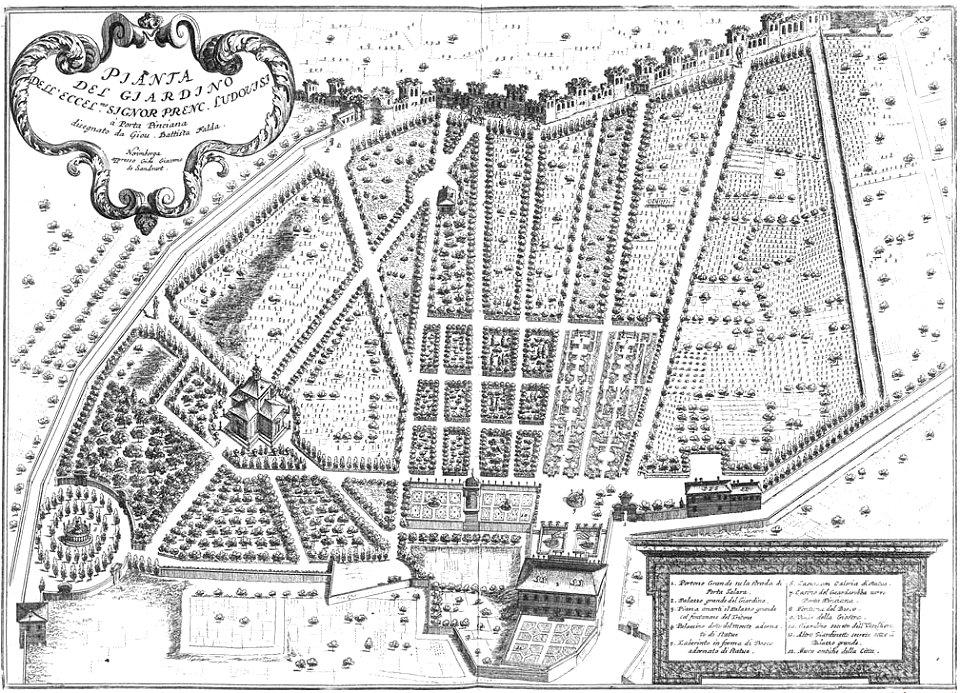
giovanni battista falda
1683 etchings
the worst journey in the world (1922, cherry-garrard)/volume 1
the worst journey in the world (1922, cherry-garrard)
eran laor cartographic collection
caspar merian
old maps of dutch brazil
recife in the 1660s
a map of the british empire in america with the french and spanish settlements adjacent thereto
maps in the library of congress
a map of the british empire in america with the french and spanish settlements adjacent thereto
maps in the library of congress
a map of the british empire in america with the french and spanish settlements adjacent thereto
maps in the library of congress
old maps of suriname
elias spanier
saltsjöbadens sjukhus
saltsjöbaden, maps
gemeente atlas van nederland - drenthe
maps of borger-odoorn
magni ducatus lithuaniae
maps of polesia
1480s maps of constantinople
romanticism
engravings of topographia superioris saxoniae, thüringiae, misniae et lusatiae (merian)
baroque
map of paris by claes jansz. visscher - derivate files
17th-century people of paris
map of paris by claes jansz. visscher - derivate files
17th-century people of paris
st. augustine, florida in the 18th century
1783 maps of north america
hamburgische elbkarte von melchior lorichs
parts of old maps of hamburg
maps of paris from bibliothèque nationale de france
carte particulière des environs de paris
1858 in illinois
1858 maps
turgot map of paris, kyoto university library – derivative files
hôtel de villeroy (rue de varenne)
asia noviter delineata
1617 drawings
asia noviter delineata
muscovy
maps by willem and johannes blaeu
old maps of westphalia
asia noviter delineata
sumatra in art
miniature speed atlas (1627) pieter van den keere
old county maps of huntingdonshire
miniature speed atlas (1627) pieter van den keere
old county maps of gloucestershire
miniature speed atlas (1627) pieter van den keere
old county maps of leicestershire
miniature speed atlas (1627) pieter van den keere
old maps of the hebrides
miniature speed atlas (1627) pieter van den keere
old county maps of derbyshire
gemeente atlas van nederland - north holland
old maps of haarlem
dr. wilh. junker's reisen in afrika 1875-1886
1889 maps of africa
maps in the biblioteca federiciana
maps by willem and johannes blaeu
maps of lindau (bodensee) by braun & hogenberg
lake constance in bavaria in art
maps of the principality of lüneburg
atlas novus (blaeu)
maps of strait of messina
jean-pierre houël
cartes de franz schrader
old maps of algiers
maps of liège by johannes blaeu - derivative files
outremeuse
bibliothèque municipale de reims, rès. g 153
baroque
maps by willem and johannes blaeu
1635 maps of ukraine
maps by willem and johannes blaeu
details of old maps
maps from university of amsterdam special collections
atlas der neederlanden
maps from university of amsterdam special collections
atlas der neederlanden
gemeente atlas van nederland - zeeland
maps of koewacht (terneuzen)
danubius pannonico-mysicus
1720s maps of hungary
old maps of ely
joan blaeu
siberia and the exile system (1891)
history of zabaykalsky krai
gemeente atlas van nederland - south holland
1860s maps of south holland
map of maastricht by willem and johannes blaeu (1649)
atlas beudeker
maps of spain by tomas lopez
1778 maps of spain
maps of spain by tomas lopez
1778 maps of spain
maps of the west-indische compagnie
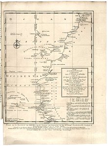
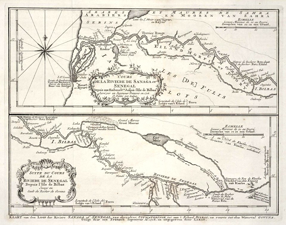
1747 maps of africa
maps of the senegal river
1747 maps of africa
topographischer atlas der schweiz
maps of winterthur quarters
maps made in the 17th century
guelders
maps of impact craters in thaumasia quadrangle
porter (martian crater)
maps of impact craters on mars
sharonov (martian crater)
proletarian literature
plan de vaugondy
coats of arms on maps
1645 maps of belgium
frederic louis norden
maps of nubia
map of amsterdam, 1544
british library
turgot map of paris, david rumsey historical map collection – derivative files
marché aux chevaux
truscott map of st-petersburg 1753
ivan sokolov
map of brugse vrije by pieter claeissens de jonge
pieter claeissens
turgot map of paris, david rumsey historical map collection – derivative files
hôpital sainte-anne
turgot map of paris, david rumsey historical map collection – derivative files
couvent des cordelières
turgot map of paris, david rumsey historical map collection – derivative files
cimetière de clamart
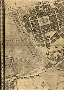
john rocque 1746 crops from library of congress
maps in the library of congress
john rocque 1746 crops from library of congress
maps in the library of congress
john rocque 1746 crops from library of congress
maps in the library of congress
john rocque 1746 crops from library of congress
maps in the library of congress
john rocque 1746 crops from library of congress
maps in the library of congress
7201 - 7300 of 27,441
Next page
/ 275