Log in
All resources
Create a design
27,441 Free Images of Maps
bibliothèque nationale de france
description de l'universe
alain manesson mallet
maps of spain by tomas lopez
maps from the earth and its inhabitants, vol. x
1890 maps of africa
copper engraving print
british library
joan blaeu
19th-century maps of east africa
victor levasseur - maps of france
old maps of gironde
19th-century maps of loire-atlantique
pierre cambronne
pierre terrail de bayard
casimir pierre perier
19th-century maps of loire (department)
coats of arms of cities in loire
georg friedrich schmidt
samuel von schmettau
maps of liège by johannes blaeu
henry constable
old maps of el hierro
history of el hierro
maps from the earth and its inhabitants, vol. iv
1880s maps of england
atlas maior, vol 1 (northern europe, norway, and denmark) - joan blaeu, 1667 - bl 114.h(star).1
17th-century maps of iceland
atlas maior, vol 5 (england) - joan blaeu, 1667 - bl 114.h(star).5
17th-century maps of yorkshire
atlas maior, vol 2 (sweden, russia, poland, eastern europe, and greece) - joan blaeu, 1667 - bl 114.h(star).2
17th-century maps of prussia
atlas maior, vol 2 (sweden, russia, poland, eastern europe, and greece) - joan blaeu, 1667 - bl 114.h(star).2
17th-century maps of scandinavia
atlas maior, vol 2 (sweden, russia, poland, eastern europe, and greece) - joan blaeu, 1667 - bl 114.h(star).2
old maps of macedonia
atlas maior, vol 5 (england) - joan blaeu, 1667 - bl 114.h(star).5
17th-century maps of yorkshire
atlas maior, vol 5 (england) - joan blaeu, 1667 - bl 114.h(star).5
17th-century maps of yorkshire
atlas maior, vol 7 (france i) - joan blaeu, 1667 - bl 114.h(star).7
1667 maps
miniature speed atlas (1627) pieter van den keere
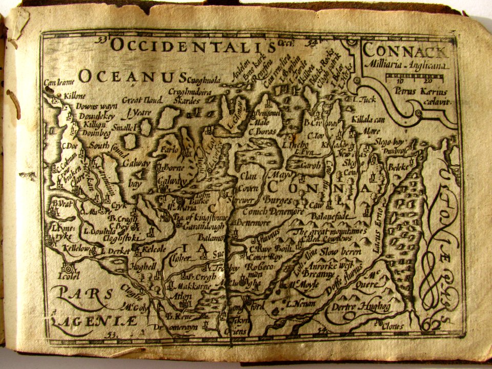
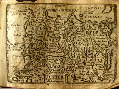
maps of ireland by john speed
miniature speed atlas (1627) pieter van den keere
maps of scotland by john speed
miniature speed atlas (1627) pieter van den keere
maps of ireland by john speed
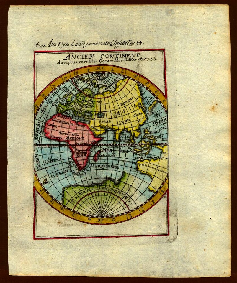
description de l'universe
1680s maps of ethiopia
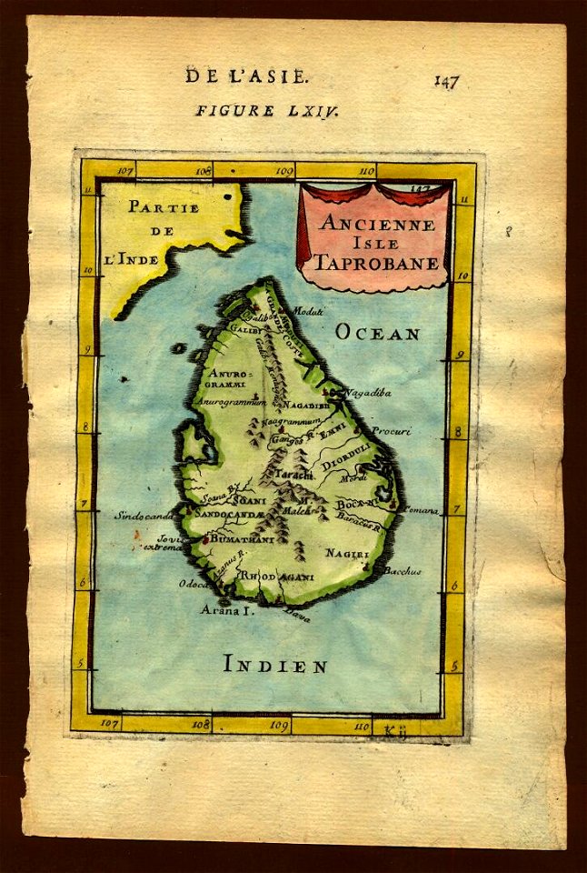
18th-century maps of sri lanka
description de l'universe
17th-century maps of sri lanka
description de l'universe
description de l'universe
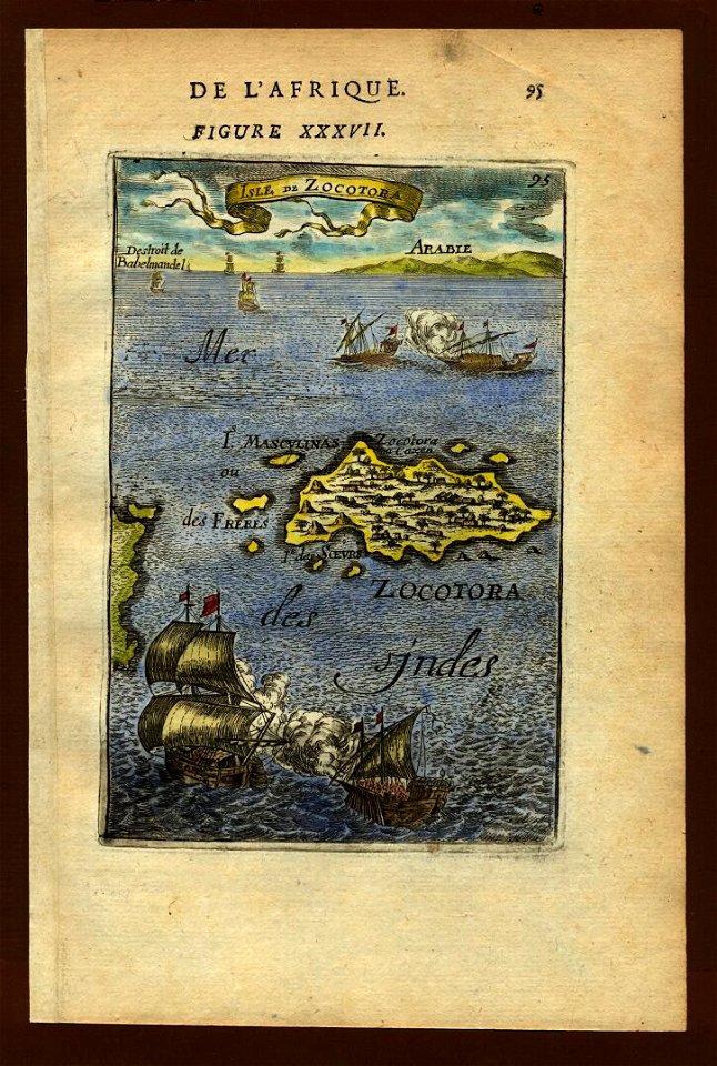
maps of socotra
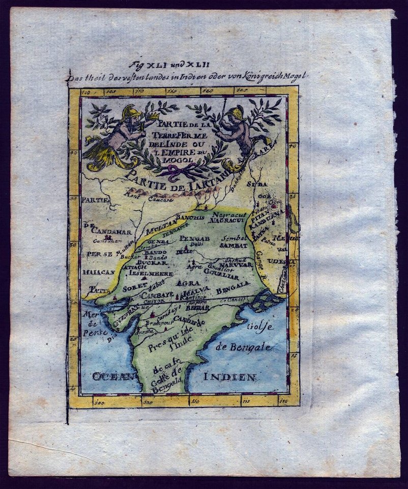
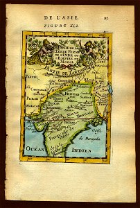
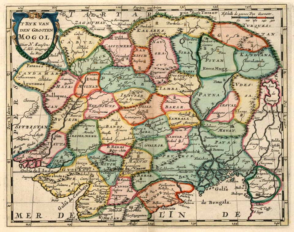
old maps of the mughal empire
description de l'universe
description de l'universe
1719 maps of africa
old maps of the eastern hemisphere
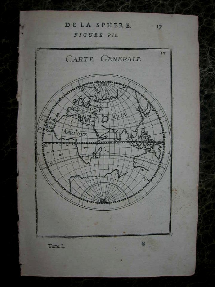
1710s maps of the world
description de l'universe
1680s maps of the world
old maps of the eastern hemisphere
1710s maps of the world
old maps of the mughal empire
description de l'universe
miniature speed atlas (1627) pieter van den keere
maps of scotland by john speed
description de l'universe
1680s maps of india
description de l'universe
1683 maps of africa
description de l'universe
1680s maps of the world
old maps of the eastern hemisphere
1710s maps of the world
maps of the dutch east india company - india
1705
dr. wilh. junker's reisen in afrika 1875-1886
19th-century maps of south sudan
ferrariae ducatus (galleria delle carte geografiche)
siege of mirandola (1510)
maps of the west-indische compagnie
1705
eran laor cartographic collection
pierre françois tardieu
1574 maps of africa
1570s maps of egypt
maps in the library of congress
1876 maps of pennsylvania
maps of spain by tomas lopez
1766 maps of spain
maps of spain by tomas lopez
1783 maps of spain
maps of spain by tomas lopez
1783 maps of spain
maps of spain by tomas lopez
old maps of castile and león
maps of spain by tomas lopez
old maps of castile and león
maps of spain by tomas lopez
old maps of extremadura
maps of the province of ávila
maps of spain by tomas lopez
maps of spain by tomas lopez
1766 maps of spain
maps of spain by tomas lopez
old maps of extremadura
maps of groningen by braun & hogenberg
maps of gorinchem by braun & hogenberg
maps of spain by tomas lopez
1783 maps of spain
maps of spain by tomas lopez
old maps of castile and león
maps of spain by tomas lopez
1783 maps of spain
maps of spain by tomas lopez
old maps of castile and león
africa and its inhabitants, vol. ii
charles eugène perron
maps by willem and johannes blaeu
old maps of groningen (city)
map of the german empire by louis stanislas d'arcy de la rochette
1782 maps of the holy roman empire
the cruise of the alice may in the gulf of st. lawrence and adjacent waters (1885) by benjamin
maps from the mechanical curator collection
1760s maps of the americas
1764 maps
maps in the library of congress
1776 maps of new jersey
atlas vingboons
1665
maps of dunkerque by braun & hogenberg
maps of bourbourg by braun & hogenberg
vrbivm praecipvarvm totivs mvndi (1612)
maps of urbino by braun & hogenberg
17th-century maps of the mediterranean sea
ships on maps
maps of adelaide
william light
untrodden peaks and unfrequented valleys (1873)
old maps of the alps
steendrukkerij p. blommers
old maps of kalimantan
untrodden peaks and unfrequented valleys (1873)
maps of south tyrol
maps from the earth and its inhabitants, vol. vii
treaty ports
the comprehensive history of england (1876)
english-language maps showing history
the comprehensive history of england (1876)
english-language maps showing history
the comprehensive history of england (1876)
english-language maps showing history
the comprehensive history of england (1876)
english-language maps showing history
charles william meredith van de velde
eran laor cartographic collection
the comprehensive history of england (1876)
english-language maps showing history
the comprehensive history of england (1876)
english-language maps showing history
admiralty charts 2601-2800
sligo bay
maps from the earth and its inhabitants, vol. x
1890 maps of africa
gemeente atlas van nederland - south holland
1860s maps of south holland
maps by pieter mortier
covens en mortier
maps from the earth and its inhabitants, vol. x
1890 maps of africa
gemeente atlas van nederland - north holland
maps of schoorl
gemeente atlas van nederland - south holland
1860s maps of south holland
maps from the earth and its inhabitants, vol. x
1890 maps of africa
maps from the earth and its inhabitants, vol. x
1890 maps of africa
gemeente atlas van nederland - south holland
maps of warmond
gemeente atlas van nederland - south holland
maps of gouderak
maps from the earth and its inhabitants, vol. x
1890 maps of africa
maps from the earth and its inhabitants, vol. x
1890 maps of africa
charles eugène perron
old maps of rijeka
maps from the earth and its inhabitants, vol. x
1890 maps of africa
croppings from pianta di roma (pérac-lafréry)
old maps of rome
maps from the earth and its inhabitants, vol. x
1890 maps of africa
maps from the earth and its inhabitants, vol. x
1890 maps of africa
maps from the earth and its inhabitants, vol. x
1890 maps of africa
tresor des cartes geographiques (1659)
1650s maps of eastern europe
beschreibung und contrafactur der vornembster stät der welt, liber primus civitates orbis terrarum
maps of siena by braun & hogenberg
beschreibung und contrafactur der vornembster stät der welt, liber primus civitates orbis terrarum
maps of málaga by braun & hogenberg
beschreibung und contrafactur der vornembster stät der welt, liber primus civitates orbis terrarum
maps of stade by braun & hogenberg
6001 - 6100 of 27,441
Next page
/ 275