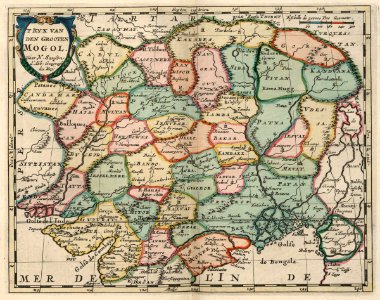
Map of the northern part of India and the Himalayas, circa 1705
Map of the northern part of india and the himalayas. 't ryk van den grooten mogol. Date: circa 1705. Dimensions: height: 20 cm (7.8 in); width: 25 cm (9.8 in). Medium: coloured engraving on paper. Collection: Koninklijke Bibliotheek.