Log in
All resources
Create a design
9 Free Artworks of 17th Century Maps Of Scandinavia
dutch-language maps
baptista van doetecum
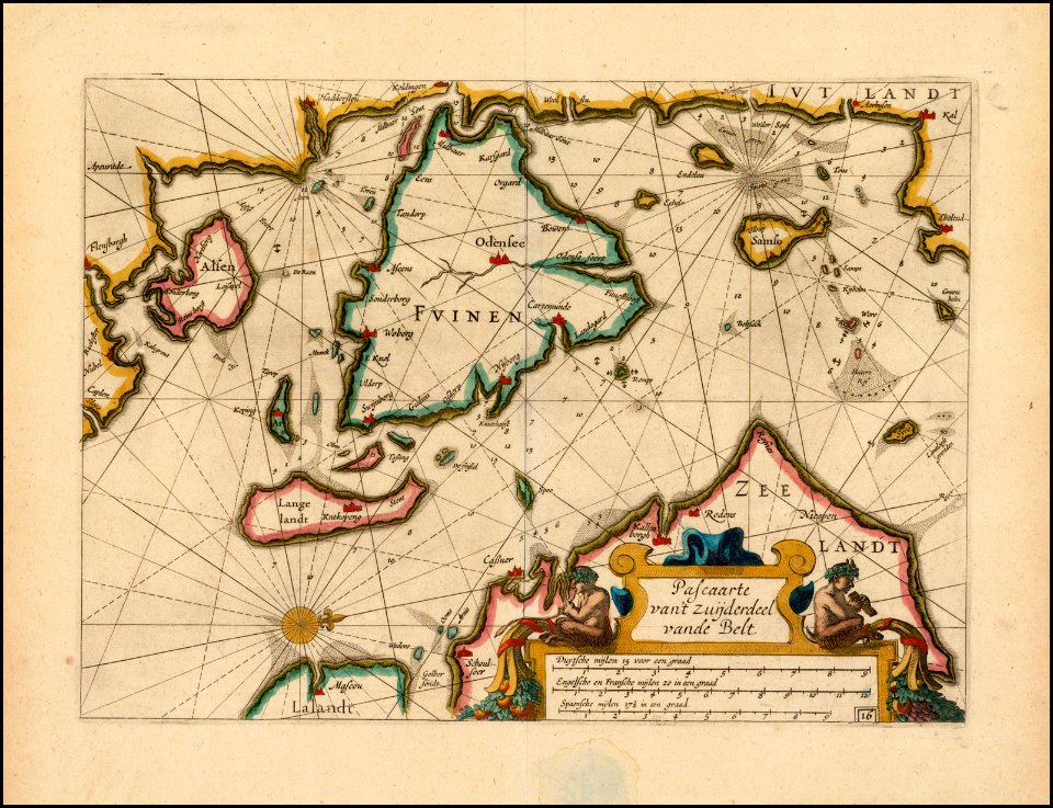
17th-century maps of the baltic sea
atlas maior, vol 2 (sweden, russia, poland, eastern europe, and greece) - joan blaeu, 1667 - bl 114.h(star).2
17th-century maps of sweden
copper engraving print
british library
joan blaeu
the voyage of the vega round asia and europe
third voyage of willem barentsz
17th-century maps of the baltic sea
17th-century maps of scandinavia
maps by willem and johannes blaeu
17th-century maps of scandinavia
17th-century maps of scandinavia
description de l'universe
portolan charts by willem and johannes blaeu
17th-century maps of scandinavia
atlas maior, vol 2 (sweden, russia, poland, eastern europe, and greece) - joan blaeu, 1667 - bl 114.h(star).2
17th-century maps of scandinavia
tresor des cartes geographiques (1659)
17th-century maps of scandinavia
atlas maior, vol 2 (sweden, russia, poland, eastern europe, and greece) - joan blaeu, 1667 - bl 114.h(star).2
17th-century maps of scandinavia
atlas ou representation du monde universel t. 1 (1633)
17th-century maps of scandinavia
1 - 9 of 9
/ 1