Log in
All resources
Create a design
27,441 Free Images of Maps
eran laor cartographic collection
bibliothèque nationale de france
koninklijke bibliotheek
maps in the library of congress
latin-language maps
africa in the 1890s
maps of africa
engraving on paper
french-language maps
maps from the earth and its inhabitants, vol. xiii
maps of the dutch east india company - south africa
1682
maps of the dutch east india company - indonesia
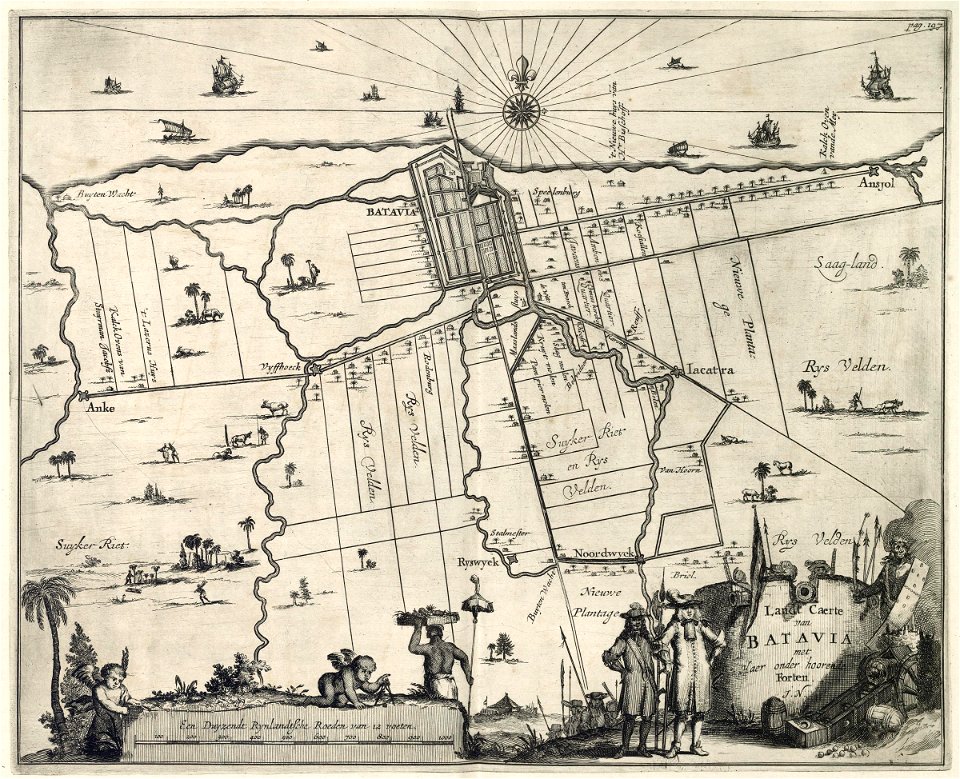
17th-century maps of batavia
maps of the west-indische compagnie
1668
maps in the library of congress
civitates orbis terrarvm
1610s maps of the iberian peninsula
maps by jodocus hondius
history of yokohama
maps of yokohama
eran laor cartographic collection
willem albert bachiene
eran laor cartographic collection
william henry toms
eran laor cartographic collection
engravings by frans hogenberg
eran laor cartographic collection
joseph franz kaiser
nicolaas samuel crucquius
old maps of delfland
eran laor cartographic collection
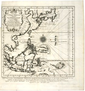
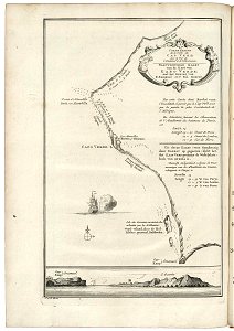
sanson maps of asia
david hodgson (artist)
david hodgson
eran laor cartographic collection
tranquillo mollo
old images of crete under venetian rule
old maps of chania
1594 in aschaffenburg
1594 maps of bavaria
maps of antwerp by braun & hogenberg
city map
engravings in the museum plantin-moretus
maps of antwerp by braun & hogenberg
maps of mombasa by braun & hogenberg
maps of cefala by braun & hogenberg
old maps of the dutch east india company
1705
maps by pieter van der keere
maps by abraham ortelius
eran laor cartographic collection
pierre françois tardieu
old maps of hindeloopen
baroque
maps of valenciennes city walls
old maps of valenciennes
gemeente atlas van nederland - south holland
maps of monster, netherlands
hamburgische elbkarte von melchior lorichs
maps of hamburg-moorburg
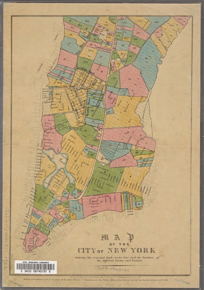
manual of the corporation of the city of new york (1852)
george hayward
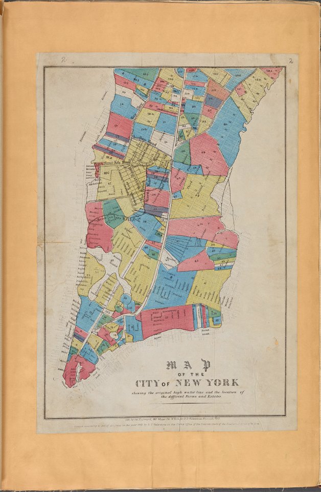
manual of the corporation of the city of new york (1853)
maps from valentine's manual
map of bruges by marcus gheeraerts (i)
1562 maps
19th-century satirical maps
augusto grossi
old maps of the dutch east india company
1747 maps of asia
maps of the west-indische compagnie
1747 maps of africa
geocentric model
1730 maps
map of brugse vrije by pieter claeissens de jonge
oil on canvas
maps by gerardus mercator
kempen (region)
maps of the ural mountains
russia (1913)
maps of polders in south holland
18th-century maps of rotterdam
maps of brest from bibliothèque nationale de france
brest (france) in the 1700s
maps from the earth and its inhabitants, vol. xiii
africa in the 1890s
turgot map of paris – derivative files
couvent des grands-augustins
maps from the earth and its inhabitants, vol. xiii
africa in the 1890s
maps from the earth and its inhabitants, vol. xiii
africa in the 1890s
maps from the earth and its inhabitants, vol. xiii
africa in the 1890s
hendrik van langren map of south asia
1600 maps of asia
maps by thomas conder
1778 maps of africa
miniature speed atlas (1627) pieter van den keere
old county maps of lincolnshire
turgot map of paris, david rumsey historical map collection – derivative files
église saint-sulpice on old maps
avenionensis ditio et venaisinus comitatus (galleria delle carte geografiche)
18th-century maps of the canary islands
maps of spain by tomas lopez
1770s maps of the world
maps by tomas lopez
maps by thomas kitchin
1750s maps of germany
1780s maps of the caribbean
maps in the british museum
maps by thomas kitchin
1750s maps of germany
18th-century maps of the canary islands
maps of spain by tomas lopez
17th-century maps of cape verde
art of cape verde
dripps maps of manhattan published in 1867
neoclassicism
history of attendorn
kloster ewig
maps by frederick william beechey
northwest passage
old geological maps by jean-etienne guettard
jean étienne guettard
maps in the library of congress
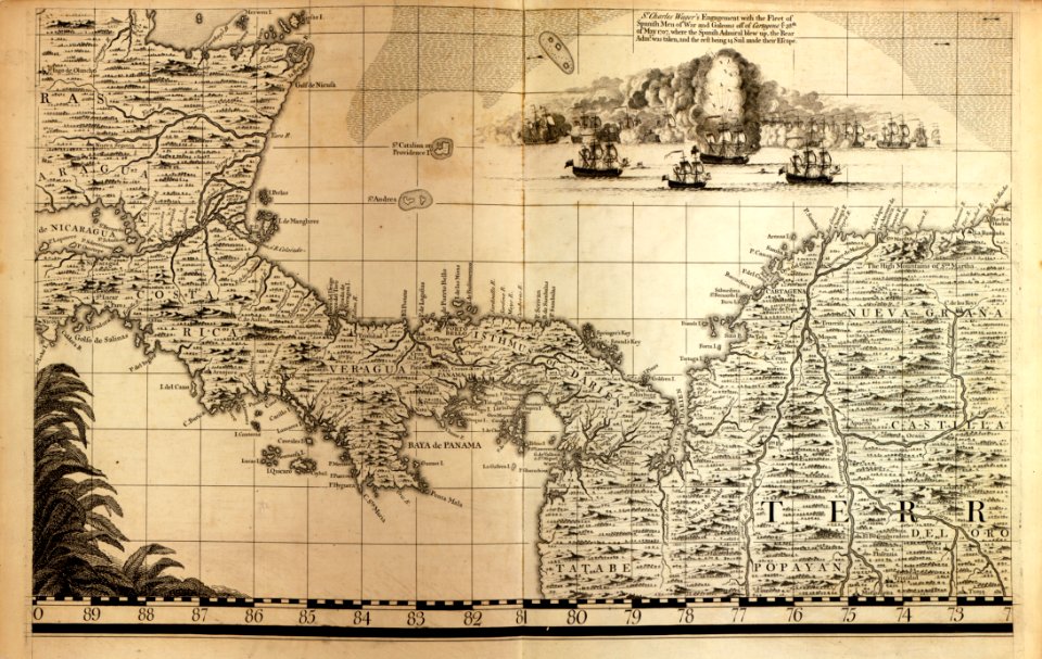
18th-century maps of jamaica
1900s maps of alaska
silver
maps from the mechanical curator collection available to georeference
maps from the mechanical curator collection
fire and sword in the sudan (1896) by slatin
maps from the mechanical curator collection
maps of delft by braun & hogenberg
bibliotheek, tu delft
maps of the west-indische compagnie
1682
palau in the 18th century
old maps of palau
old maps of samegrelo
cornelis de jode
gemeente atlas van nederland - utrecht
maps of oudewater
perris maps of manhattan published 1852–1853
neoclassicism
carte de moscovie by guillaume de l'isle (1706)
eran laor cartographic collection
arnold van langren map of southwest africa
1596 maps of africa
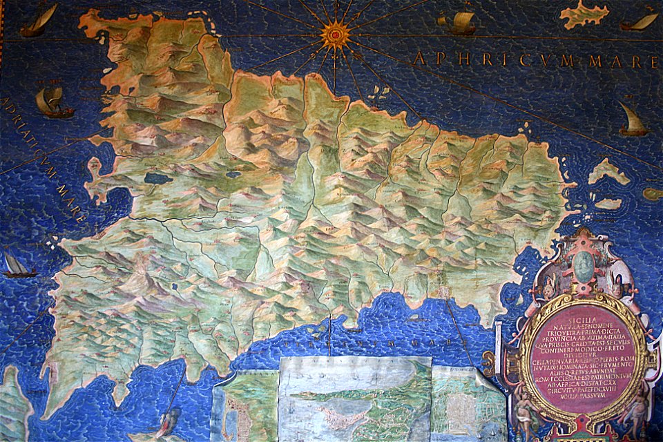
sicilia (galleria delle carte geografiche)
old maps of sicily
gemeente atlas van nederland - south holland
maps of nieuwenhoorn
old maps of myanmar
red karen
maps from the earth and its inhabitants, vol. xii
africa in the 1890s
herenpoort (leiden)
old maps of leiden
maps of saratoga county, new york
lithographs
maps from the earth and its inhabitants, vol. xii
africa in the 1890s
maps from the earth and its inhabitants, vol. xi
algeria in the 1800s
maps by petrus schenk
1743 maps of germany
maps of alsace by guillaume sanson
1660s maps of baden-württemberg
fra mauro map by sector
nouvel atlas de la chine
claas condet
paintings by antônio parreiras in the museu antônio parreiras
1910s paintings by antônio parreiras
paintings by antônio parreiras in the museu antônio parreiras
paul et virginie
drawings in the museu antônio parreiras
crayon
map of moscow by matthäus merian
baroque
maps from the earth and its inhabitants, vol. iv
geological maps of the united kingdom
1600s maps of bremen (state)
17th-century maps of bremen
maps of ancient italy by philipp clüver
eran laor cartographic collection
maps of florence by braun & hogenberg
eran laor cartographic collection
maps of genoa by braun & hogenberg
eran laor cartographic collection
16th-century maps of ireland
copper engravings
gemeente atlas van nederland - south holland
maps of spijkenisse
media from regionaal archief alkmaar
old maps of schagen
maps in the library of congress
1718 maps
maps in the stadsarchief amsterdam
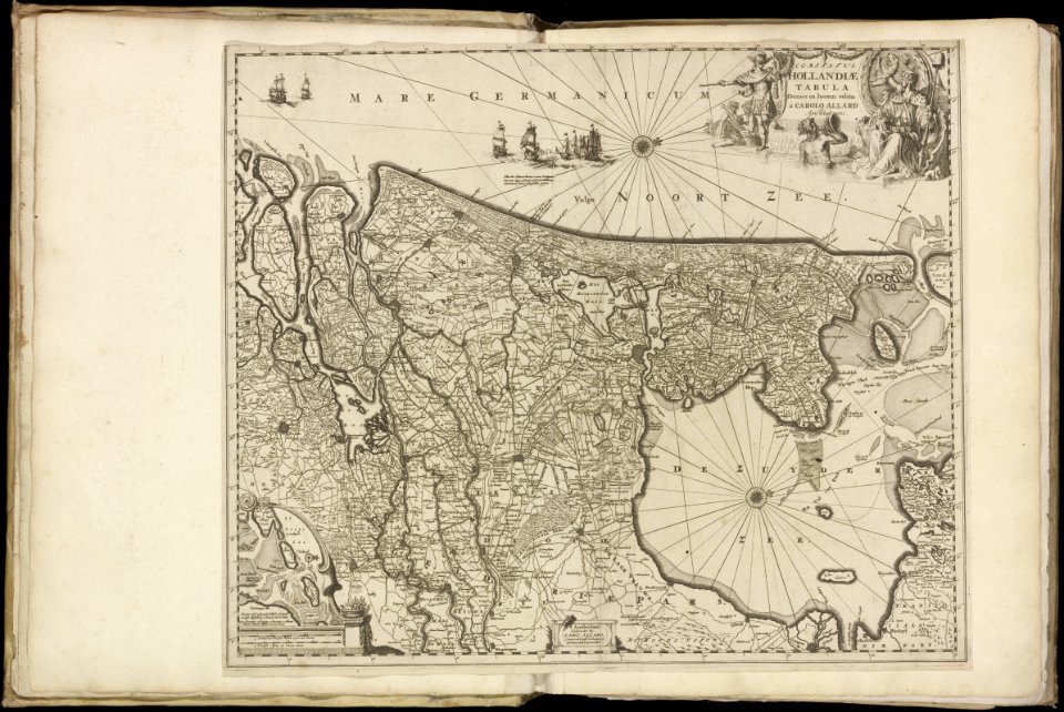
maps by carolus allard
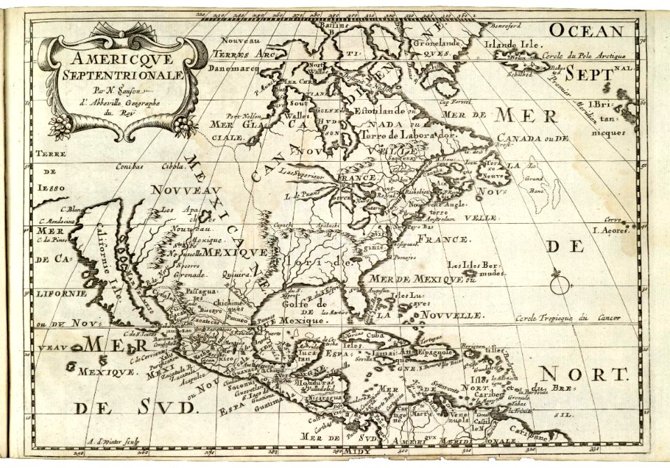
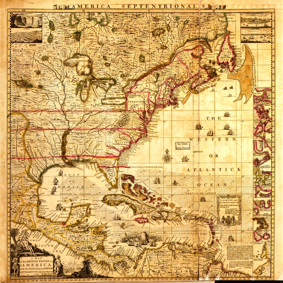
a map of the british empire in america with the french and spanish settlements adjacent thereto
maps in the library of congress
a map of the british empire in america with the french and spanish settlements adjacent thereto
maps in the library of congress
a map of the british empire in america with the french and spanish settlements adjacent thereto
maps in the library of congress
4401 - 4500 of 27,441
Next page
/ 275