Log in
All resources
Create a design
1,888 Free Images of Maps Of Africa
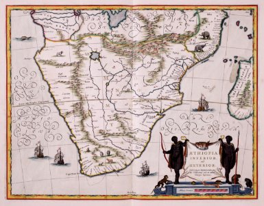
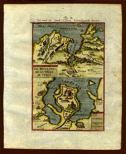
description de l'universe
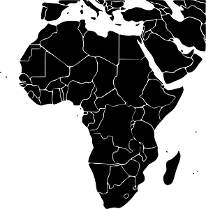
africa map
continent
old maps of africa
geography
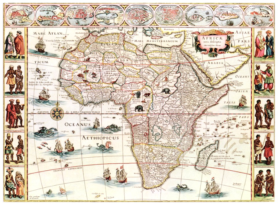
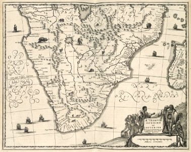
1683 maps of africa
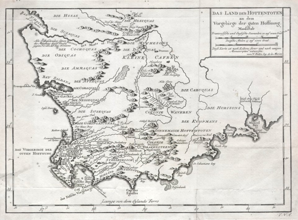
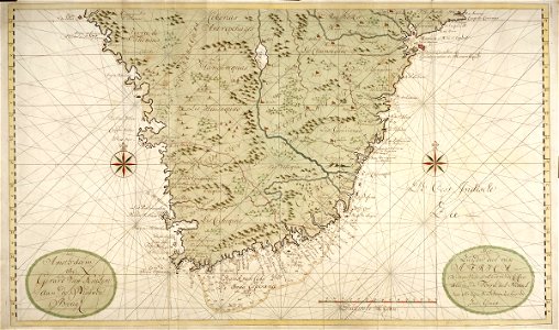
maps of the dutch east india company - south africa
old maps of south africa
old maps of the dutch east india company - africa
earth
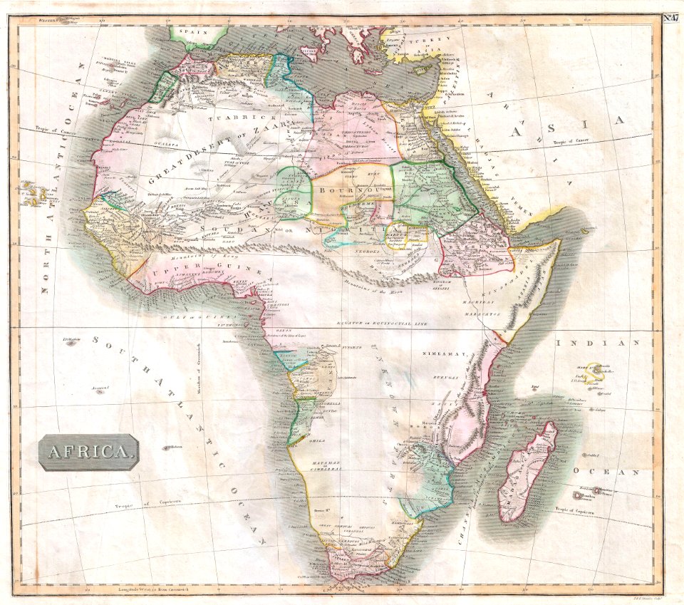
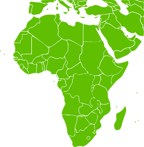
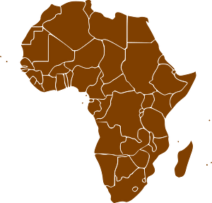
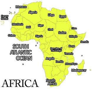
africa
maps
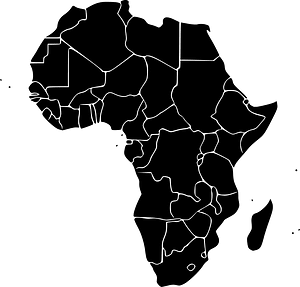
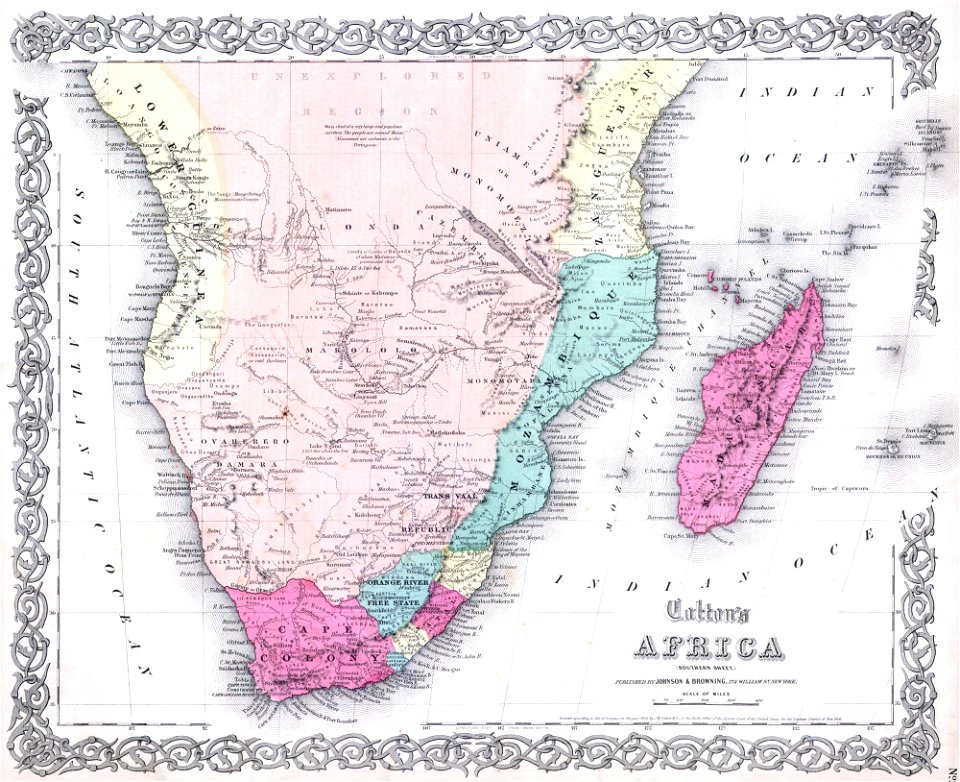
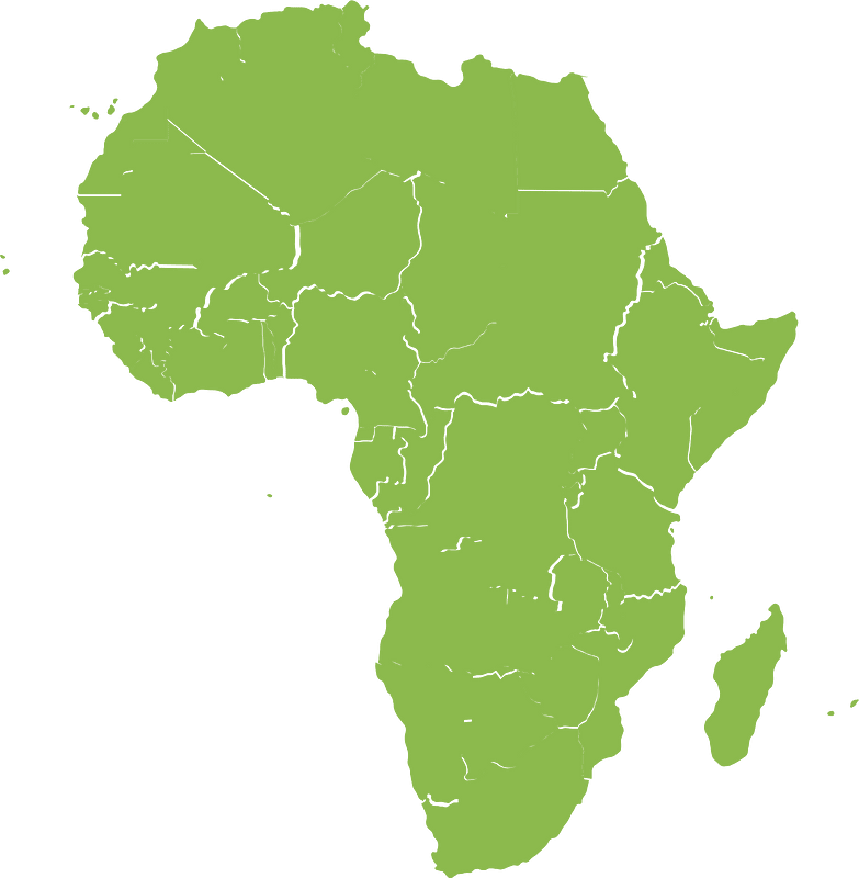
africa
maps
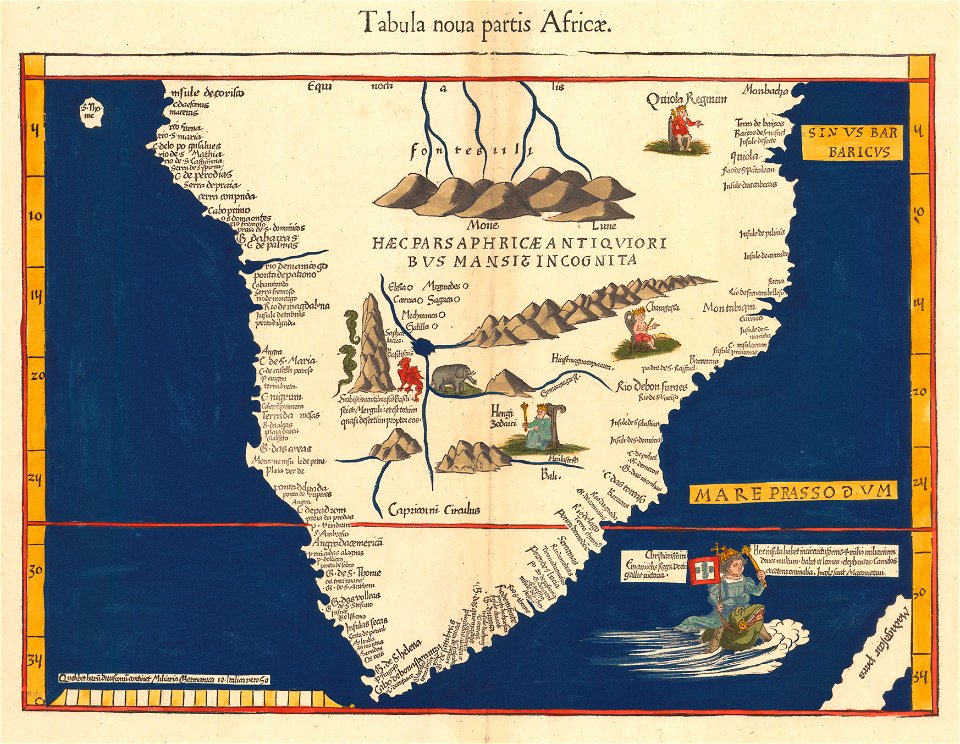
africa
maps
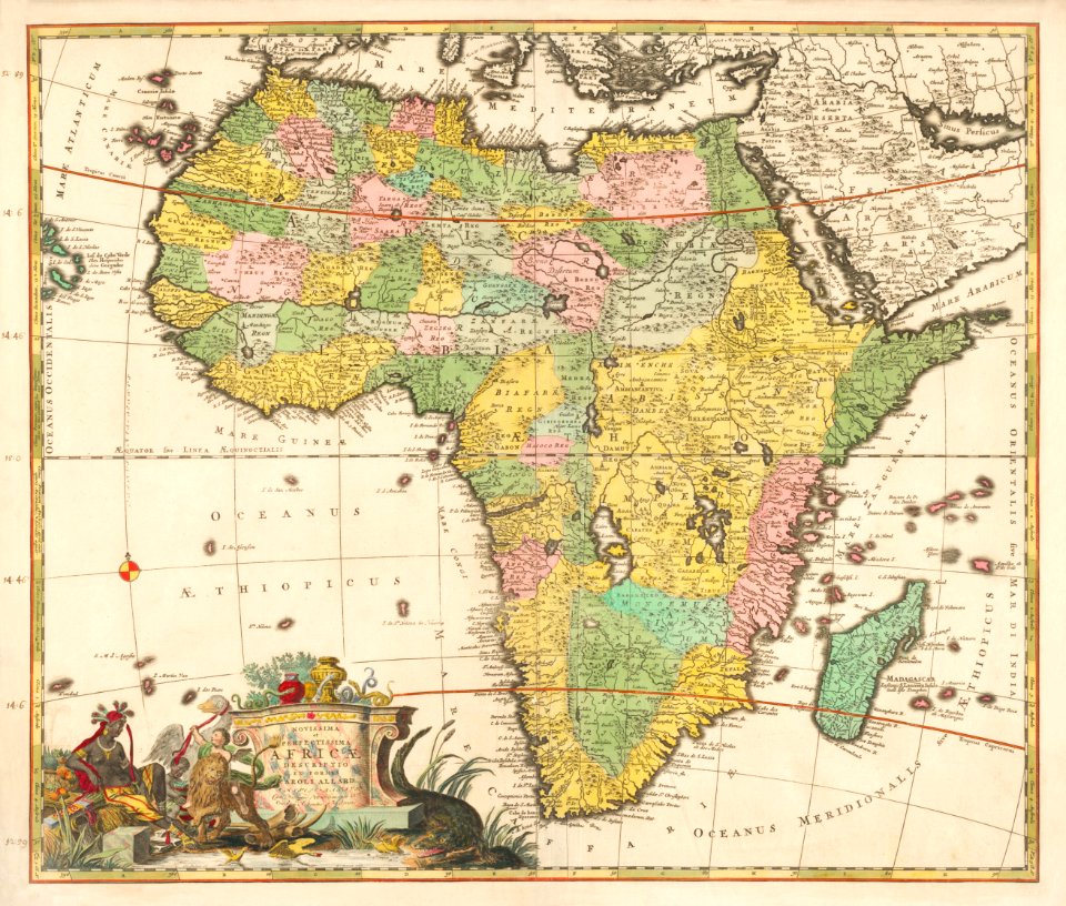
africa
maps
illustration
city
africa
map
science
maps
background
maps
landscape
maps
background
maps
africa
maps
africa
maps
africa
maps
africa
maps
africa
maps
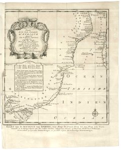
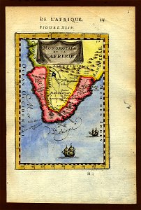
old maps of south africa
german-language maps
illustrations of cosmographia (münster)
1550s maps of africa
european exploration of africa
maps by john thomson
maps in the library of congress
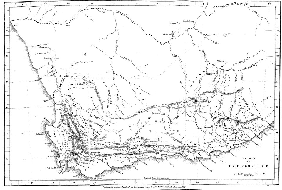
old maps of south africa
maps in the library of congress
old maps of south africa
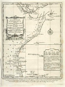
maps of rivers of south africa
english-language maps
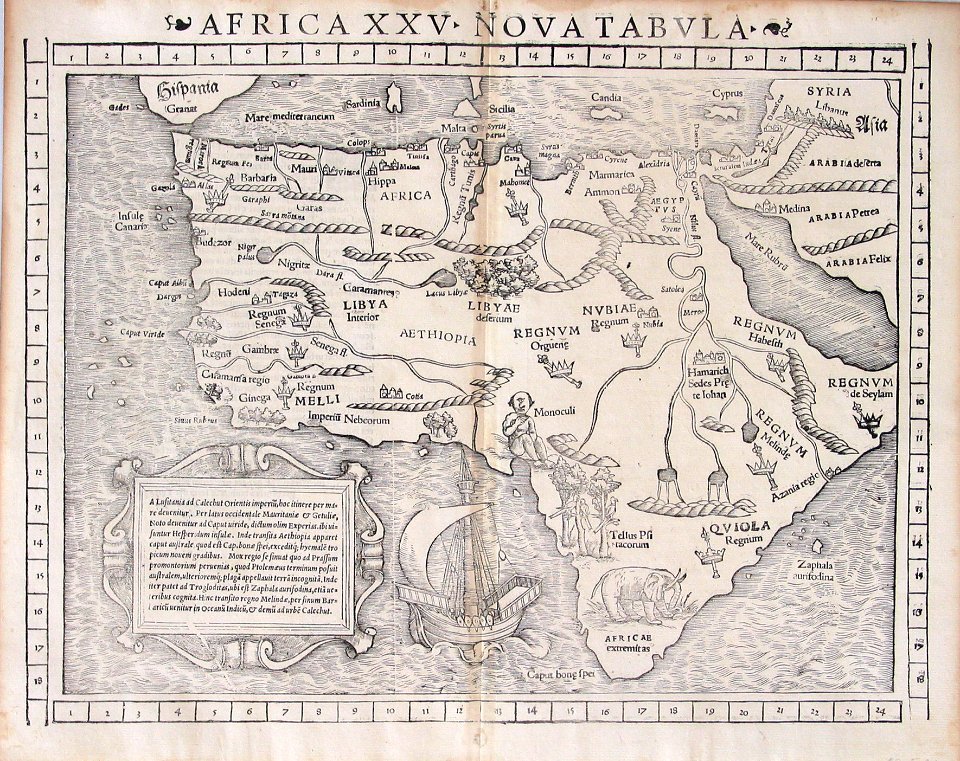
maps by martin waldseemüller
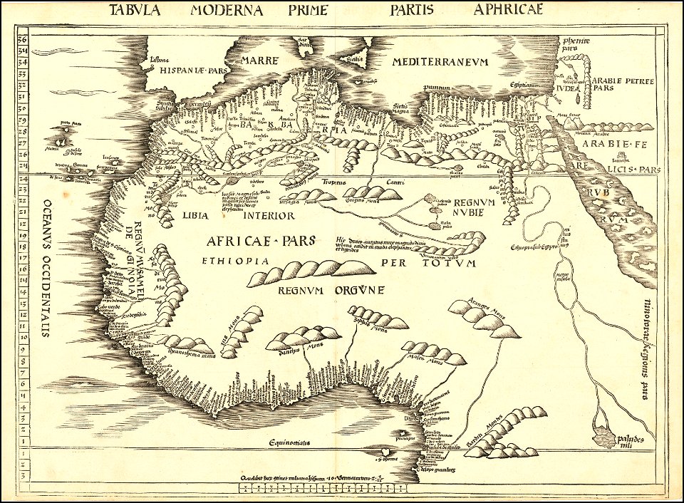
1540s maps of africa
africa
maps
illustration
maps
old maps of south africa
tobias conrad lotter
17th-century maps of africa
1635
maps by gerardus mercator
maps by jodocus hondius
maps by martin waldseemüller
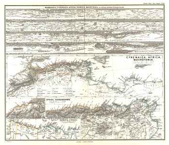
maps of north africa
hatched coats of arms
atlantic ocean
africa
maps
africa
maps
africa
maps
maps by martin waldseemüller
1510s maps of africa
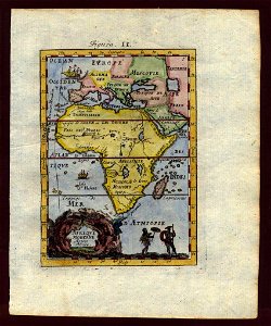
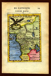
description de l'universe
1683 maps of africa
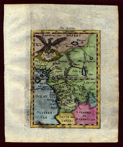
description de l'universe
1719 maps of africa
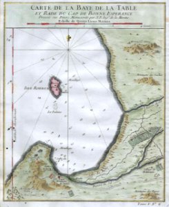
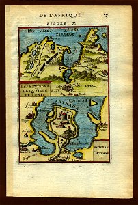
old maps of south africa
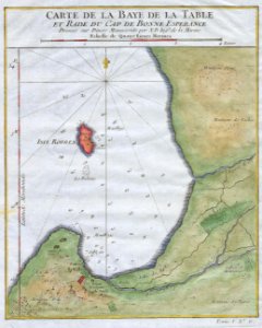
table bay
maps by martin waldseemüller
1513 maps
maps of rivers of south africa
mountains of south africa
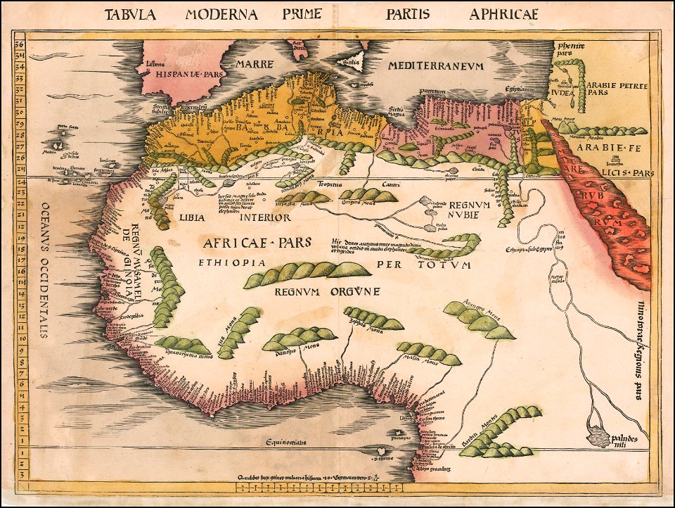
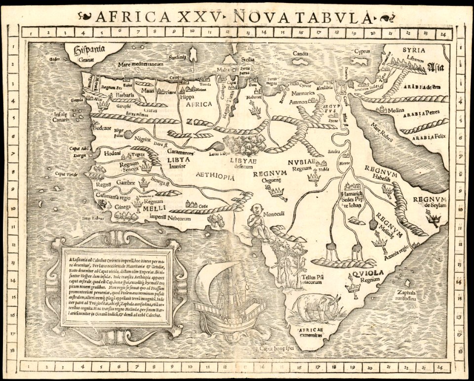
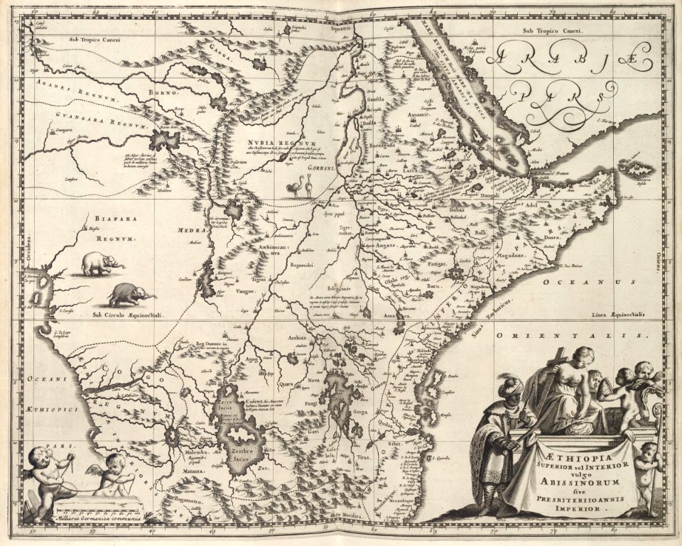
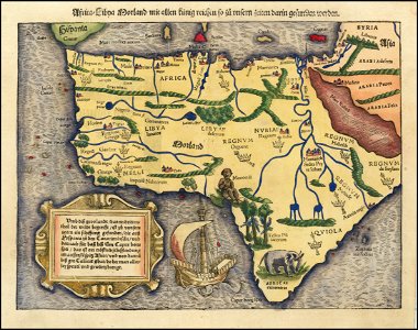
maps by sebastian münster
1550s maps of africa
16th-century maps of brazil
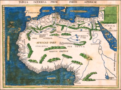
old maps of africa
cosmographia (1600) by sebastian münster
1600s maps of africa
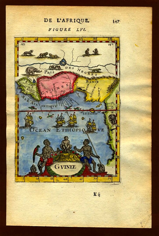
description de l'universe
1683 maps of africa
description de l'universe
old maps of africa
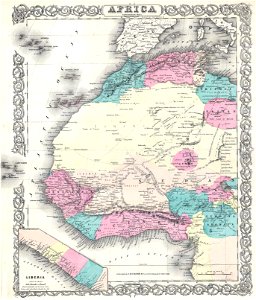
maps by joseph hutchins colton
1855 maps of africa
old maps of the german colonies
old maps of colonial africa
old maps of the middle east
1855 maps
africa
maps
illustrations of cosmographia (münster)
old maps of africa
maps of the dutch east india company - south africa
1720s
old maps of the dutch east india company - africa
1668
old maps of the dutch east india company - africa
1665
maps of the dutch east india company - south africa
1668
old maps of the dutch east india company - africa
1747)
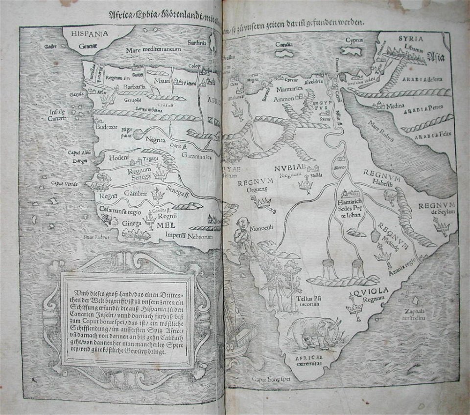
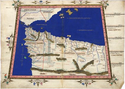
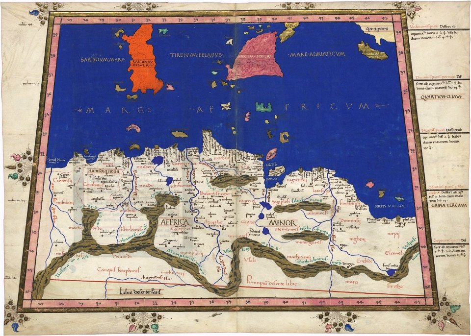
cosmographia claudii ptolomaei alexandrini
ptolemy's 1st african map
maps from the mechanical curator collection
1868 maps
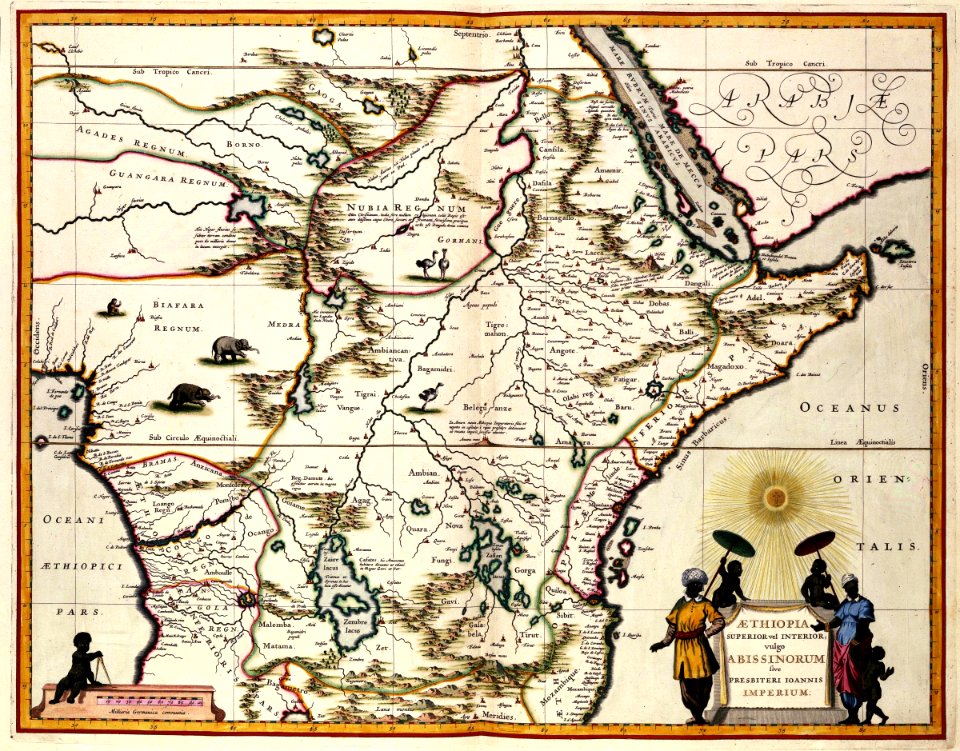
1670s maps of africa
maps by john speed
ptolemy's 3rd african map
latin-language maps
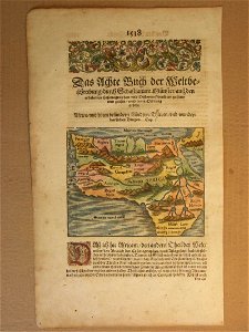
maps by sebastian münster
1550 maps
old maps of the dutch east india company - africa
1747)
1630s maps of africa
matthäus merian
maps of the dutch east india company - south africa
1682)
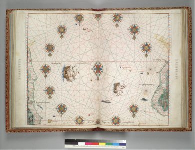
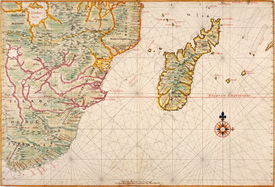
maps of the dutch east india company - madagascar
1665
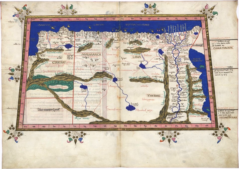
ptolemy's 2nd african map
latin-language maps
africa
maps
19th-century maps of africa
1865 maps
maps
sea
africa
maps
maps by sebastian münster
1590s maps of asia
karl spruner von merz
1855 maps of africa
atlantis magni tomus quintus (biblioteca comunale di trento)
maps by pieter schenk (i)
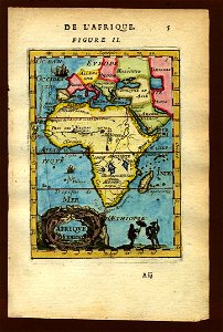
description de l'universe
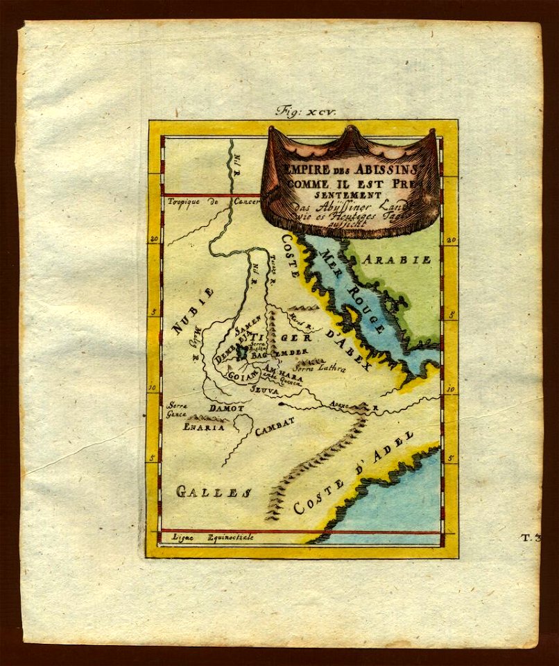
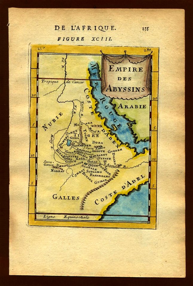
maps of nubia
description de l'universe
maps of nubia
karl spruner von merz
1855 maps of africa
karl spruner von merz
1855 maps of africa
old maps of south africa
table bay
maps of the dutch east india company - madagascar
1635
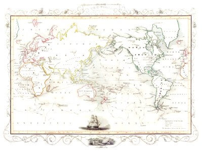
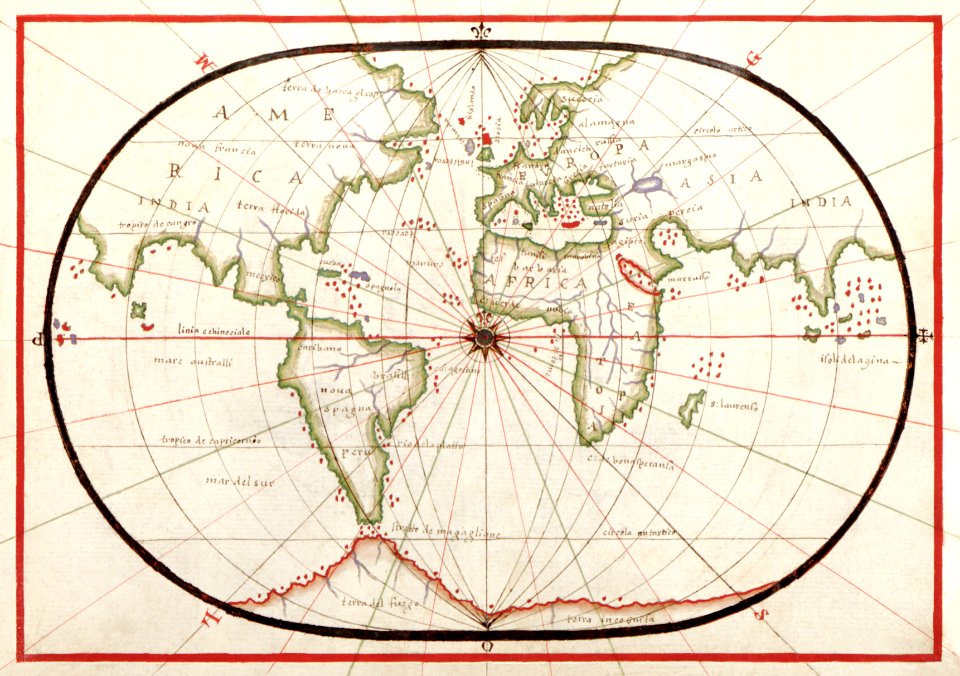
world
maps
description de l'universe
1719 maps of africa
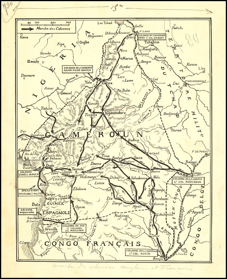
hand-drawn maps and views of world war i battlefields by h.m.
old maps of cameroon
maps by sebastian münster
1580s maps of africa
description de l'universe
old maps of africa
maps by jacques-nicolas bellin
19th-century maps of africa
description de l'universe
1683 maps of africa
description de l'universe
old maps of africa
description de l'universe
1683 maps of africa
description de l'universe
1683 maps of africa
files from the bodleian libraries
old maps of africa
old maps of the dutch east india company
1747)
old maps of the dutch east india company - africa
johannes van keulen
description de l'universe
1719 maps of africa
description de l'universe
1683 maps of africa
maps of world war ii in europe
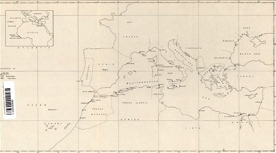
maps of the mediterranean sea
description de l'universe
old maps of africa
description de l'universe
old maps of africa
description de l'universe
old maps of africa
description de l'universe
old maps of africa
old maps of south africa
boer
description de l'universe
1719 maps of africa
description de l'universe
1683 maps of africa
description de l'universe
old maps of africa
1 - 100 of 1,888
Next page
/ 19