Log in
All resources
Create a design
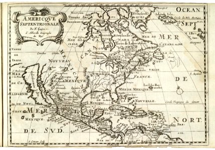
Map of North America and the Caribbean, 1682
Map of north america and the caribbean. Americque septentrionale. Date: 1682. Dimensions: height: 28 cm (11 in); width: 19.5 cm (7.6 in). Medium: engraving on paper. Collection: Koninklijke Bibliotheek.
Download
Edit image
Published by:
Creazilla
Author:
Nicolas Sanson
Source:
commons.wikimedia.org
Loading...
0 downloads
Print it
Copy image
Loading...
maps of the west-indische compagnie
1682
anthonie de winter
engraving on paper
koninklijke bibliotheek
MORE LIKE THIS