Log in
All resources
Create a design
144 Free Artworks of Maps Of The Caribbean
bibliothèque nationale de france
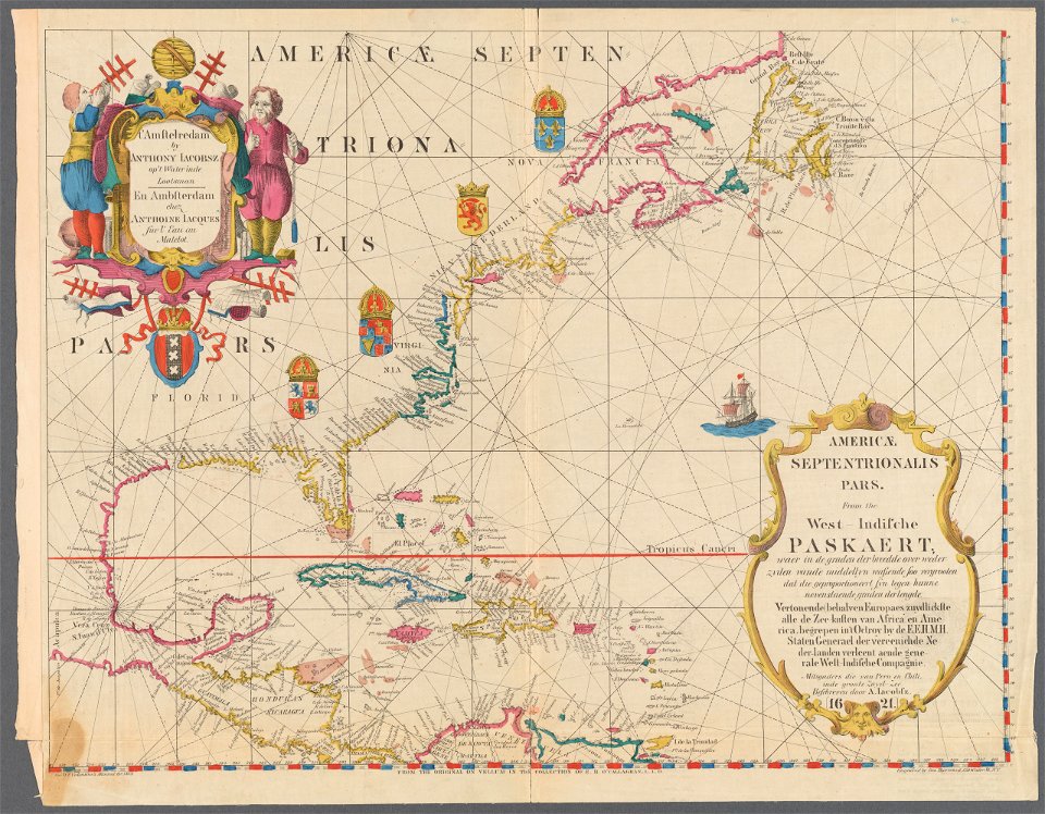
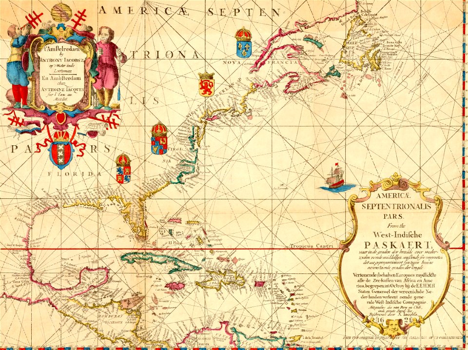
maps of the west-indische compagnie
maps by tomas lopez
18th-century maps of the caribbean
maps in the library of congress
1780s maps of the caribbean
1750s maps of the caribbean
maps by juan lopez
17th-century maps of the caribbean
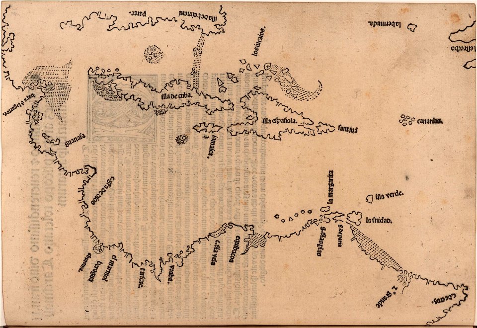
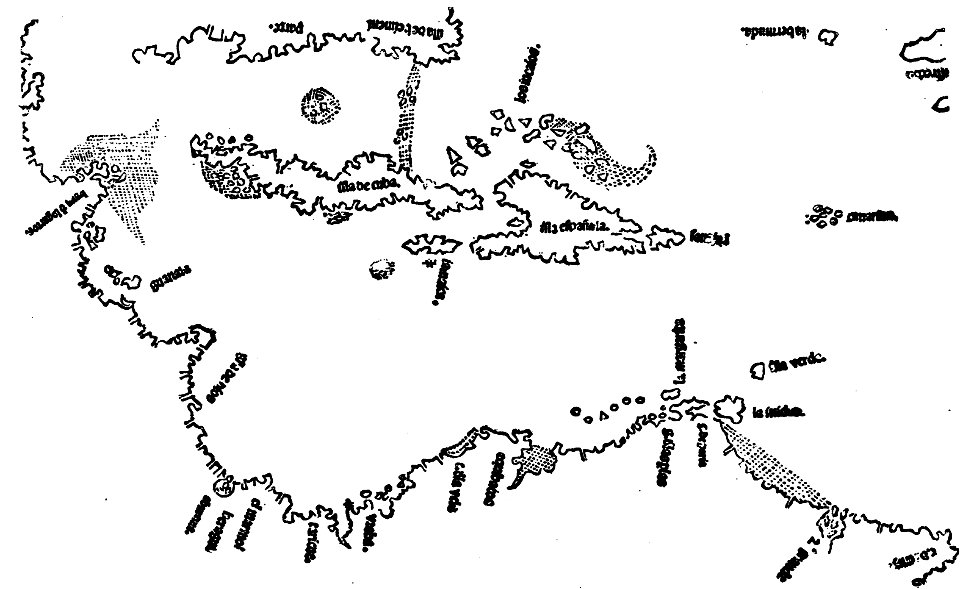
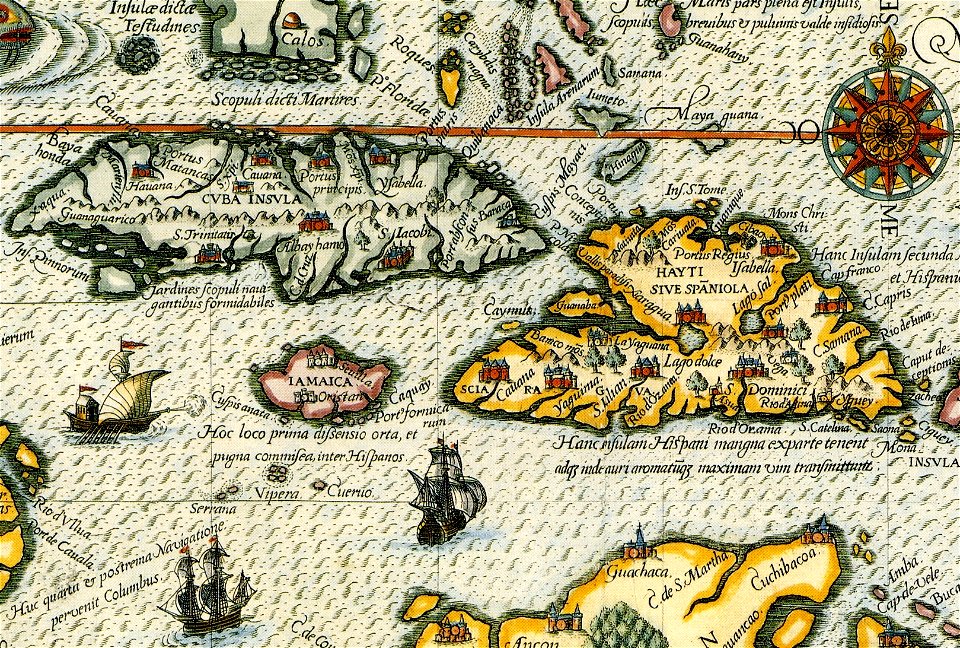
16th-century maps of hispaniola
20th-century maps of the caribbean
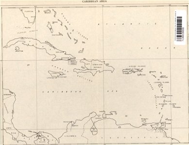
maps of the caribbean
16th-century maps of hispaniola
waldseemüller map
images from the john carter brown library
1510s maps of the caribbean
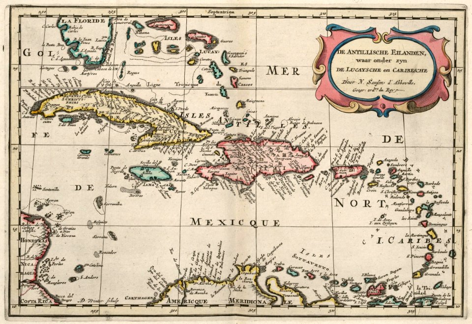
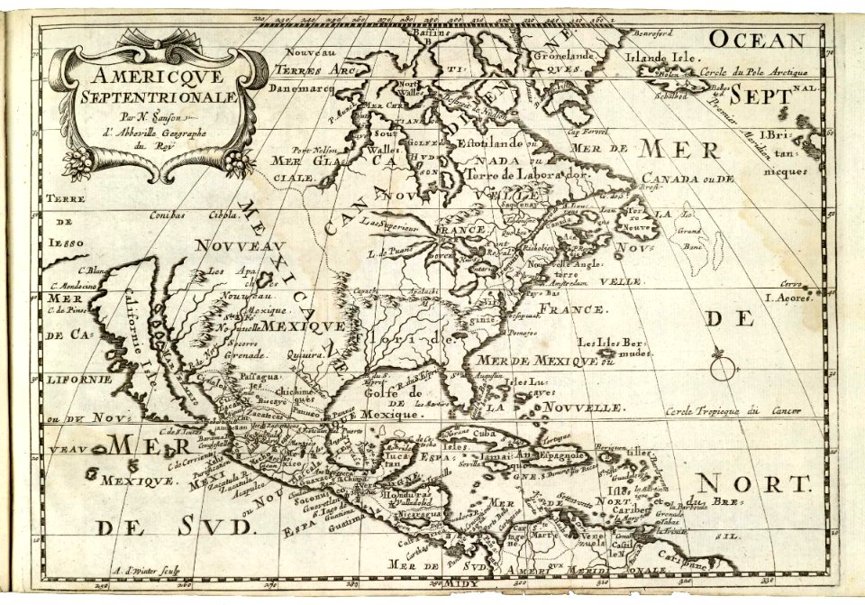
maps by nicolas sanson
1705
1790s maps of the caribbean
1797 maps
17th-century maps of the caribbean
1671
maps of the west-indische compagnie
1777
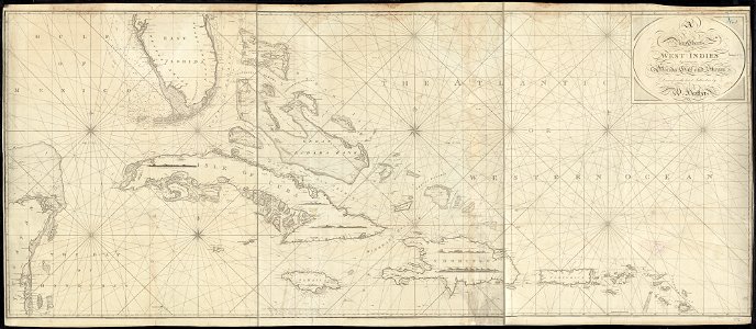
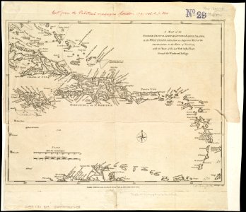
charts and maps of the royal museums greenwich
1572 maps
nicolaes visscher ii
1681
17th-century maps of the caribbean
1622
maps by joseph hutchins colton
1855 maps
images from the john carter brown library
1500s maps of the caribbean
maps in the library of congress
1650 maps
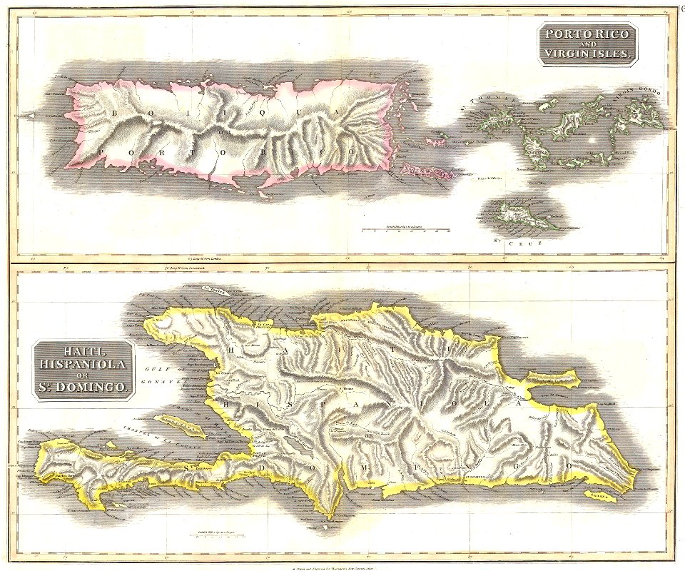
18th-century maps of puerto rico
18th-century maps of cuba
16th-century maps of the caribbean
theodor de bry
18th-century maps of hispaniola
1780s maps of the caribbean
latin-language maps
1725 maps
dutch-language maps
johannes ratelband
old maps of colombia
theodor de bry
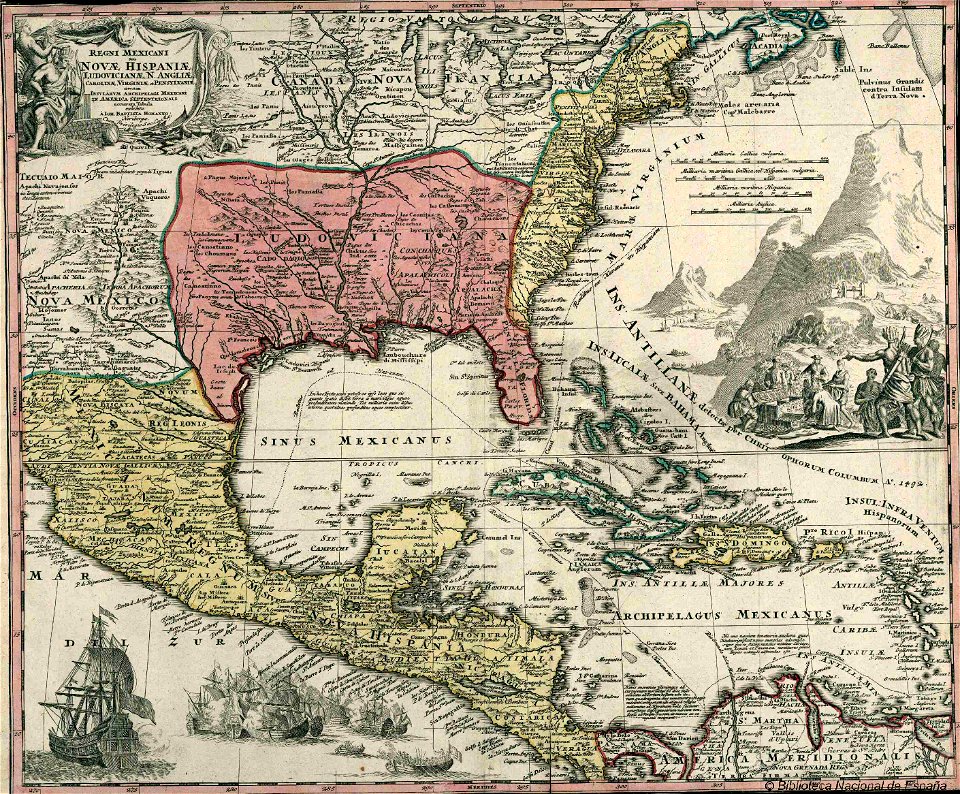
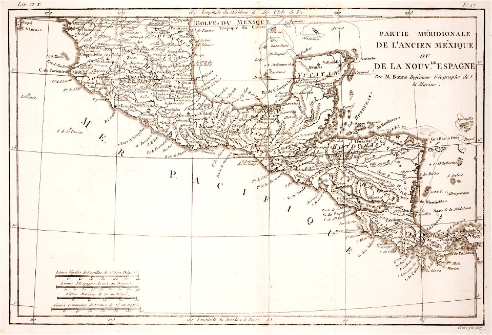
old maps of mexico
covens en mortier
english-language maps
1814 maps
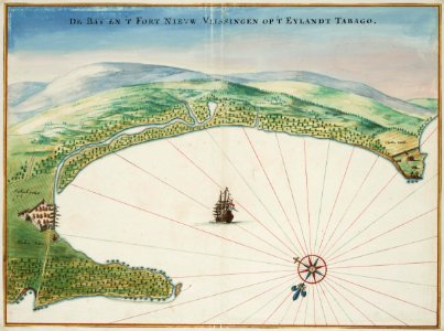
tobago
1665
old maps of guatemala
old maps of colombia
maps of the west-indische compagnie
1682)
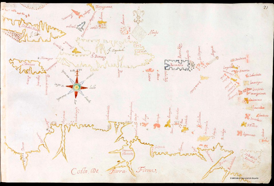
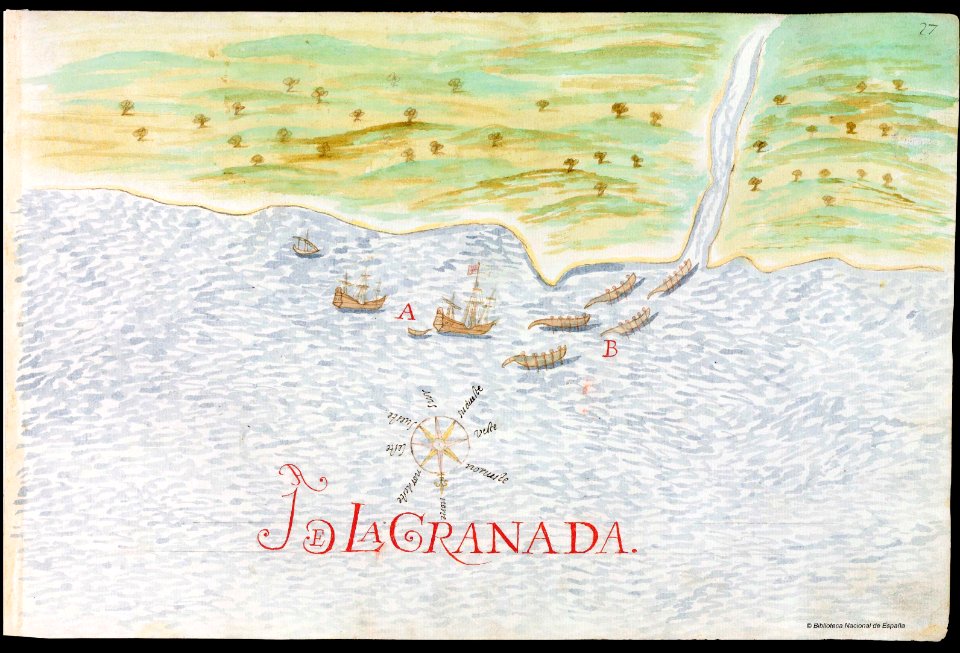
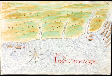
old manuscript maps
pictorial maps
veracruz
florida
maps by jacques-nicolas bellin
1768
theatrum orbis terrarum (london 1606)
files from the bodleian libraries
maps by willem and johannes blaeu
1662
maps of the west-indische compagnie
abraham goos
maps by jacques-nicolas bellin
1768
16th-century maps of the americas
maps by martin waldseemüller
volume 2 of le tour du monde
maps by alexandre vuillemin
maps in the library of congress
1650 maps
images from the new york public library
francis d'avignon
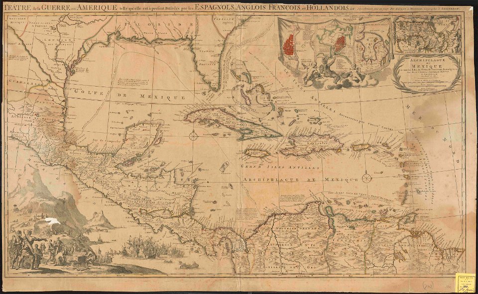
a map of the british empire in america with the french and spanish settlements adjacent thereto
maps in the library of congress
a map of the british empire in america with the french and spanish settlements adjacent thereto
maps in the library of congress
18th-century maps of hispaniola
18th-century maps of cuba
english-language maps
maps by john thomson
francis d'avignon
george hayward
fonds ancely - bibliothèque municipale de toulouse - maps
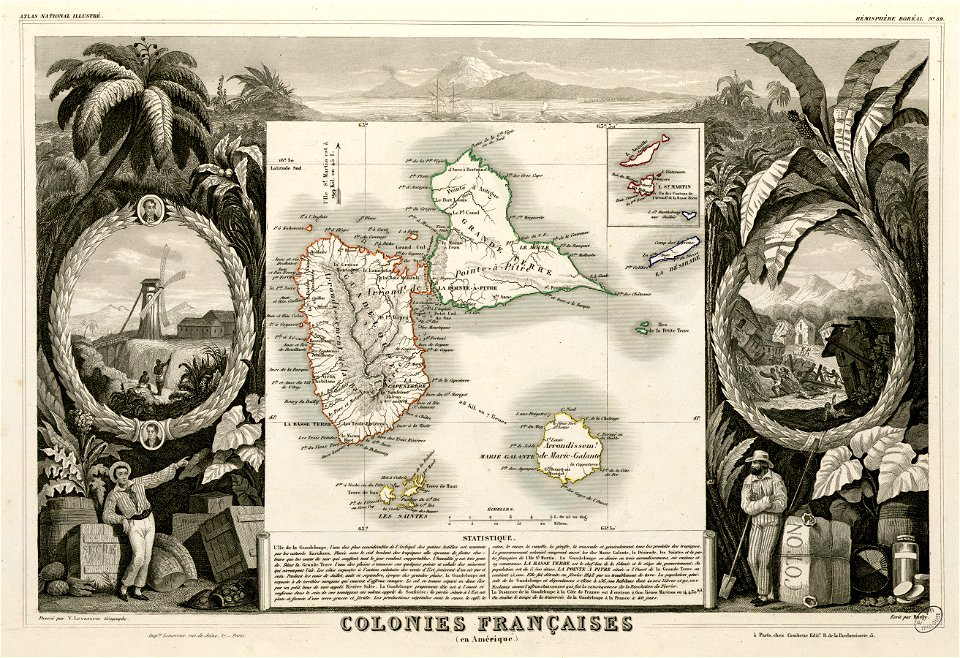
victor levasseur - maps of the world
maps made in the 17th century
gerard valck
francis d'avignon
george hayward
maps made in the 17th century
nicolaes visscher ii
francis d'avignon
north america
18th-century maps of nicaragua
1780 in central america
18th-century maps of hispaniola
1780 in the caribbean
old manuscript maps
pictorial maps
history of saint vincent and the grenadines
pictorial maps
1780 in the caribbean
virgin islands
maps by jacques-nicolas bellin
old maps of saint lucia
history of antwerp
renaissance
jacques le moyne de morgues
1591
1660s maps of the caribbean
tobago
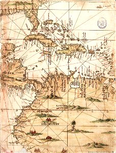
americae 1562 by diego gutiérrez and hieronymus cock
renaissance
1560s maps of north america
paolo forlani
old maps of the new kingdom of granada
17th-century maps of guyana
maps of ciudad colonial
caribbean sea in art
maps in the library of congress
1750s maps of central america
18th-century maps of central america
1760s maps of the caribbean
1780s maps of the caribbean
maps in the british museum
1754 maps of the bahamas
1754 maps of florida
1720s maps of the caribbean
maps by pieter mortier
1780s maps of the caribbean
maps by tomas lopez
1780s maps of the caribbean
maps by tomas lopez
juan de la cruz cano y olmedilla
maps by tomas lopez
juan de la cruz cano y olmedilla
maps by tomas lopez
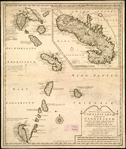
maps of the caribbean by mercator-hondius
maps in the library of congress
1780s maps of the caribbean
a map of the british empire in america with the french and spanish settlements adjacent thereto
1730s maps of the caribbean
1690s maps of the caribbean
1690s maps of the americas
maps of the turks and caicos islands
1782 maps of the caribbean
maps of the caribbean by mercator-hondius
details of old maps
1782 maps of the caribbean
maps by juan lopez
18th-century maps of barbados
1780 maps of the caribbean
old maps of the bahamas
lucayas
18th-century maps of north america
1708 maps of north america
1770s maps of the caribbean
maps by thomas kitchin
caribbean maps in leiden university library
files uploaded at wiki techstorm 2019
caribbean maps in leiden university library
files uploaded at wiki techstorm 2019
1780s maps of the caribbean
maps by juan lopez
juan de la cruz cano y olmedilla
1755 maps of north america
1782 maps of the caribbean
maps by juan lopez
1780 maps of the caribbean
maps by juan lopez
a map of the british empire in america with the french and spanish settlements adjacent thereto
1730s maps of the caribbean
atlas minor gerardi mercatoris (1621, maps)
maps of the caribbean by mercator-hondius
maps in the library of congress
1750s maps of the caribbean
le neptune francois
1700 maps of cuba
maps in the rijksmuseum amsterdam
published by frans buffa & zonen
maps in the rijksmuseum amsterdam
published by frans buffa & zonen
a map of the british empire in america with the french and spanish settlements adjacent thereto
1730s maps of the caribbean
1750s maps of central america
maps by tomas lopez
a popular history of the mexican people (1888)
reconstructions of old maps
1782 maps of the caribbean
maps by juan lopez
cartouches by sanson family
pierre mariette i
1890s maps of central america
1890s maps of the caribbean
maps by louis brion de la tour
1782 maps of the caribbean
arnold's geographical handbook (1899)
1899 maps of the caribbean
maps from the earth and its inhabitants, vol. xvi
1870s maps of panama
1876 maps of north america
1876 maps of the caribbean
1 - 100 of 144
Next page
/ 2