Log in
All resources
Create a design
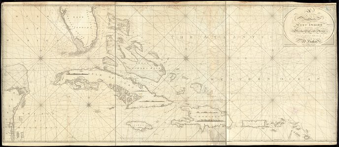
Nautical chart of the West Indies 1797
Download
Edit image
Published by:
Creazilla
Author:
Norman B. Leventhal Map Center at the BPL
Source:
commons.wikimedia.org
Loading...
0 downloads
Print it
Copy image
Loading...
1797 maps
1790s maps of the caribbean
1797 in the caribbean
maps by william heather
MORE LIKE THIS