Log in
All resources
Create a design
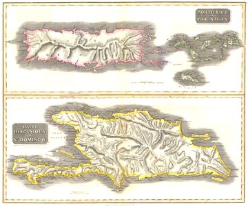
1815 Thomson Map of Porto Rico, Virgin Islands, Haiti, Dominican Republic - Geographicus - PortoRico-t-1815
Download
Edit image
Published by:
Creazilla
Author:
John Thomson (1777–1840)
Source:
commons.wikimedia.org
Loading...
0 downloads
Print it
Copy image
Loading...
english-language maps
maps by john thomson
old maps of the dominican republic
19th-century maps of haiti
1815 maps of the caribbean
19th-century maps of puerto rico
old maps of the virgin islands
MORE LIKE THIS