Log in
All resources
Create a design
26,489 Free Artworks of Map
bibliothèque nationale de france
eran laor cartographic collection
maps by willem and johannes blaeu
maps from university of amsterdam special collections
atlas der neederlanden
copperplate print
special collections of the university of amsterdam
maps in the library of congress
atlas der neederlanden deel ix: algemeene kaarten & coloniën
maps by jakob van der schley
maps from university of amsterdam special collections
atlas der neederlanden
maps from university of amsterdam special collections
atlas der neederlanden
maps from university of amsterdam special collections
atlas der neederlanden
maps from university of amsterdam special collections
atlas der neederlanden
maps from university of amsterdam special collections
atlas der neederlanden
maps from university of amsterdam special collections
atlas der neederlanden
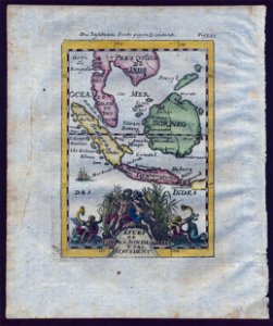
18th-century maps of southeast asia
description de l'universe
daniel de la feuille
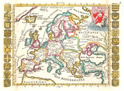
1706 maps of europe
old maps of the batavian republic
cornelis van baarsel
old maps of the republic of genoa
baroque
eran laor cartographic collection
richard william seale
maps by tomas lopez
1791 maps of europe
maps by tomas lopez
1769 maps of europe
hamburgische elbkarte von melchior lorichs
parts of old maps of hamburg
hamburgische elbkarte von melchior lorichs
parts of old maps of hamburg
maps in the library of congress
1734 maps of north america
hamburgische elbkarte von melchior lorichs
parts of old maps of hamburg
17th-century maps of xaintonge
maps by jodocus hondius
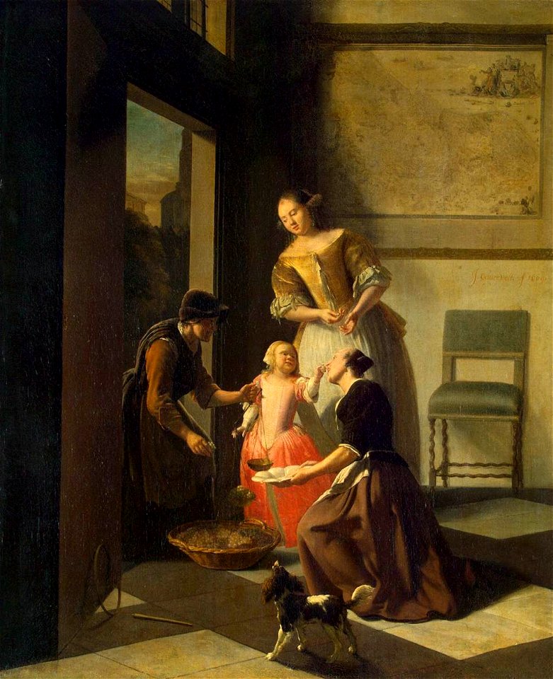
dutch paintings in the hermitage
jacob ochtervelt
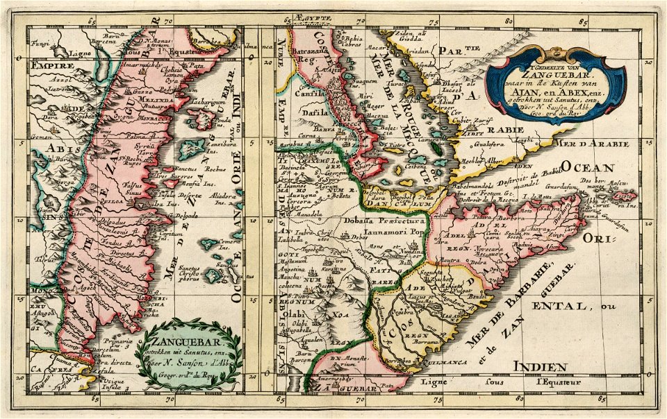
old maps of the dutch east india company - africa
1705
1570s maps of africa
1570s maps of egypt
plan routier de la ville et faubourg de paris by jean lattré
maps of paris from the stanford libraries
vrbivm praecipvarvm mvndi theatrvm qvintvm (1617)
maps of zell (mosel) by braun & hogenberg
maps by willem and johannes blaeu
chami empire
vrbivm praecipvarvm mvndi theatrvm qvintvm (1617)
maps of los palacios by braun & hogenberg
plan de la ville et faubourg de paris, divisé en ses 48 sections by mondhare & jean
maps of paris from the stanford libraries
description de l'universe
old maps of greece
map of ghent by jan blaeu
flandria illustrata
john rocque's 1748 map of london and adjacent country
maps in the british museum
maps of haarlemmerhout
old maps of haarlem
maps in the library of congress
1753 maps
maps of flensburg by braun & hogenberg
city gates in flensburg
maps by emanuel bowen
old maps of peru
old submaps of paris 5e arrondissement
turgot map of paris – derivative files
bibliothèque municipale de reims, rès. g 153
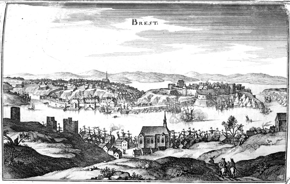
brest (france) in the 1650s
abbaye de longchamp
bac de suresnes
illustrations from césar cascabel by george roux
1890s maps of asia
lucas janszoon waghenaer
old maps of the arctic
turgot map of paris, kyoto university library – derivative files
hôtel de mortemart
turgot map of paris, david rumsey historical map collection – derivative files
bastille
old maps of oldenzaal
atlas van loon
maps of ghent by hendrik hondius
old maps of spanjaardenkasteel
maps by willem and johannes blaeu
old maps of diksmuide
maps by willem and johannes blaeu
maps of wachtendonk
maps by willem and johannes blaeu
maps made in the 17th century
drawings in the museu antônio parreiras
paper and graphite
eran laor cartographic collection
édouard hocquart
istanbul in the 1780s
maps by tomas lopez
drawings in the museu antônio parreiras
paper and graphite
eran laor cartographic collection
johannes van den aveelen
old maps of the kingdom of naples
lago patria
brazilian paintings in the museu antônio parreiras
firmino monteiro
maps by alexis-hubert jaillot
old maps of toulouse
africa and its inhabitants, vol. ii
charles eugène perron
eran laor cartographic collection
joan blaeu
eran laor cartographic collection
edward weller
eran laor cartographic collection
german renaissance,humanism
eran laor cartographic collection
cornelis de bruyn
maps of trenton, new jersey
gregory anthony perdicaris
eran laor cartographic collection
edward weller
maps by willem and johannes blaeu
17th-century maps of sumatra
from edinburgh to the antarctic. an artist's notes and sketches during the dundee antarctic expedition of 1892-93
expedition maps
17th-century maps of the indian ocean
maps by willem and johannes blaeu
west-indische compagnie
1671
de praecipvis totivs vniversi vrbibvs, liber secvndvs (1575)
maps of methoni by braun & hogenberg
chorographia britanniae (1741-1742)
18th-century maps of cornwall
de praecipvis totivs vniversi vrbibvs, liber secvndvs (1575)
maps of dunkerque by braun & hogenberg
chorographia britanniae (1741-1742)
18th-century maps of kent
17th-century maps of dorset
maps by john speed
maps in the library of congress
1863 maps of the united states
old maps of groningen (city)
egbert haubois
victor levasseur - maps of the world
historical images of arecaceae
giovanni battista falda
1683 etchings
the worst journey in the world (1922, cherry-garrard)/volume 1
the worst journey in the world (1922, cherry-garrard)
eran laor cartographic collection
caspar merian
old maps of dutch brazil
recife in the 1660s
a map of the british empire in america with the french and spanish settlements adjacent thereto
maps in the library of congress
a map of the british empire in america with the french and spanish settlements adjacent thereto
maps in the library of congress
a map of the british empire in america with the french and spanish settlements adjacent thereto
maps in the library of congress
old maps of suriname
elias spanier
saltsjöbadens sjukhus
saltsjöbaden, maps
gemeente atlas van nederland - drenthe
maps of borger-odoorn
magni ducatus lithuaniae
maps of polesia
1480s maps of constantinople
romanticism
engravings of topographia superioris saxoniae, thüringiae, misniae et lusatiae (merian)
baroque
map of paris by claes jansz. visscher - derivate files
17th-century people of paris
map of paris by claes jansz. visscher - derivate files
17th-century people of paris
st. augustine, florida in the 18th century
1783 maps of north america
hamburgische elbkarte von melchior lorichs
parts of old maps of hamburg
maps of paris from bibliothèque nationale de france
carte particulière des environs de paris
1858 in illinois
1858 maps
turgot map of paris, kyoto university library – derivative files
hôtel de villeroy (rue de varenne)
asia noviter delineata
1617 drawings
asia noviter delineata
muscovy
maps by willem and johannes blaeu
old maps of westphalia
asia noviter delineata
sumatra in art
miniature speed atlas (1627) pieter van den keere
old county maps of huntingdonshire
miniature speed atlas (1627) pieter van den keere
old county maps of gloucestershire
miniature speed atlas (1627) pieter van den keere
old county maps of leicestershire
miniature speed atlas (1627) pieter van den keere
old maps of the hebrides
6401 - 6500 of 26,489
Next page
/ 265