Log in
All resources
Create a design
26,489 Free Artworks of Map
maps from the earth and its inhabitants, vol. x
1890 maps of africa
19th-century maps of east africa
gemeente atlas van nederland - south holland
1860s maps of south holland
gemeente atlas van nederland - north holland
1860s maps of north holland
maps of the dutch east india company - sri lanka
bibliothèque nationale de france
maps from university of amsterdam special collections
maps from the earth and its inhabitants, vol. vi
charles eugène perron
maps from the earth and its inhabitants, vol. xvii
maps of louisville, kentucky
the comprehensive history of england (1876)
english-language maps showing history
charles william meredith van de velde
eran laor cartographic collection
chicago and the midwest, newberry library
old maps of the mississippi river
eran laor cartographic collection
thomas kitchin
maps from the earth and its inhabitants, vol. iv
boston, england
eran laor cartographic collection
emanuel bowen
hierosolyma clarissima totius map by braun & hogenberg
latin-language maps showing history
maps made in the 17th century
angoumois (ducato)
maps of municipalities in the district of dielsdorf
historical images of regensberg zh
johannes nessel
1656 maps
maps from the mechanical curator collection available to georeference
maps from the mechanical curator collection
1760s maps of the americas
jean janvier
landais & oberthur
maps from gallica
media from stadsarchief rotterdam
baroque
maps of the dutch east india company - sri lanka
1787
maps of the dutch east india company - sri lanka
1787
de praecipvis totivs vniversi vrbibvs, liber secvndvs (1612)
maps of wissembourg by braun & hogenberg
maps in the british museum
clément-pierre marillier
maps of the west-indische compagnie
old maps of gorée
maps of the dutch east india company - sri lanka
1750
de praecipvis totivs vniversi vrbibvs, liber secvndvs (1612)
maps of neuss by braun & hogenberg
de praecipvis totivs vniversi vrbibvs, liber secvndvs (1612)
maps of kleve by braun & hogenberg
maps of the dutch east india company - sri lanka
1753 maps
philippe de la rué
maps of troas
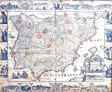
1640s maps of the iberian peninsula
maps by nicolaes visscher i
old maps of deventer
schipbrug deventer
eran laor cartographic collection
rémy hausermann
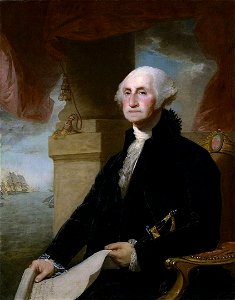
lansdowne portrait of george washington
neoclassicism
maps from the mechanical curator collection
australia (1873) by booth
maps from the mechanical curator collection
australia (1873) by booth
lithographs of paris
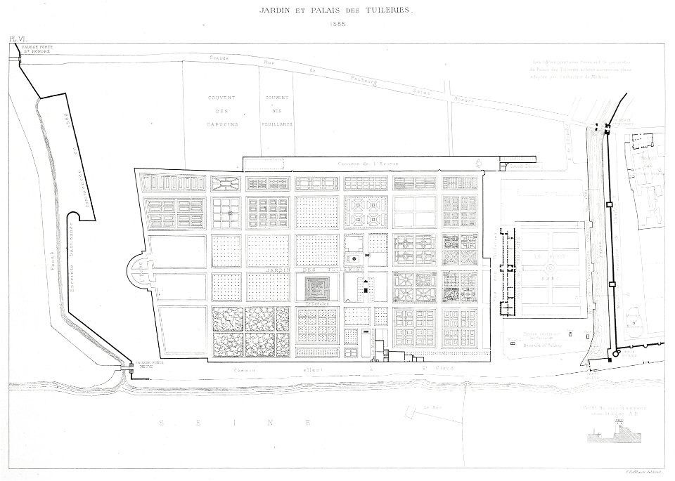
floor plans of paris
1780s maps of the world
german renaissance
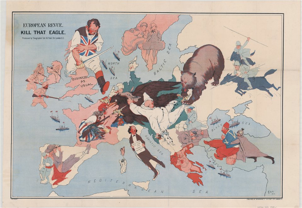
20th-century satirical maps
1914 maps of europe
maps from the earth and its inhabitants, vol. x
1890 maps of africa
gemeente atlas van nederland - south holland
1860s maps of south holland
gemeente atlas van nederland - south holland
maps of wassenaar
maps from the earth and its inhabitants, vol. x
1890 maps of africa
gemeente atlas van nederland - north holland
old maps of haarlem
maps from the earth and its inhabitants, vol. x
1890 maps of africa
maps of ireland by baptista boazio
maps in the library of congress
gemeente atlas van nederland - south holland
maps of kedichem
maps from the earth and its inhabitants, vol. x
1890 maps of egypt
17th-century maps of the black sea
maps by willem and johannes blaeu
maps from the earth and its inhabitants, vol. x
1890 maps of africa
gemeente atlas van nederland - south holland
1860s maps of south holland
gemeente atlas van nederland - south holland
1860s maps of south holland
gemeente atlas van nederland - north holland
maps of muiden
maps from the earth and its inhabitants, vol. x
1890 maps of africa
maps of ireland by baptista boazio
maps in the library of congress
gemeente atlas van nederland - north holland
maps of texel
gemeente atlas van nederland - south holland
1860s maps of south holland
maps from the earth and its inhabitants, vol. x
1890 maps of africa
maps from the earth and its inhabitants, vol. x
1890 maps of africa
maps from the earth and its inhabitants, vol. x
1890 maps of africa
maps from the earth and its inhabitants, vol. x
1890 maps of africa
maps from the earth and its inhabitants, vol. x
1890 maps of africa
maps from the earth and its inhabitants, vol. x
1890 maps of africa
gemeente atlas van nederland - south holland
1860s maps of south holland
maps from the earth and its inhabitants, vol. x
1890 maps of africa
gemeente atlas van nederland - north holland
maps of bloemendaal
maps from the earth and its inhabitants, vol. x
1890 maps of africa
gemeente atlas van nederland - north holland
maps of uithoorn
gemeente atlas van nederland - north holland
maps of zandvoort
maps from the earth and its inhabitants, vol. x
1890 maps of africa
topographia westphaliae (merian)
baroque
daniel de la feuille
1706 maps of italy
considérations géographiques et physiques sur les nouvelles découvertes au nord de la grande mer
isla de los estados
maps in the library of congress
1670s maps of brazil
drawings in the museu antônio parreiras
paper and charcoal
drawings in the museu antônio parreiras
paper and graphite
brazilian paintings in the museu antônio parreiras
textile and oil painting on canvas
drawings in the museu antônio parreiras
paper and graphite
gemeente atlas van nederland - south holland
1860s maps of south holland
maps from university of amsterdam special collections
atlas der neederlanden
maps from university of amsterdam special collections
atlas der neederlanden
joseph lemercier
auguste logerot
maps from university of amsterdam special collections
atlas der neederlanden
maps from university of amsterdam special collections
atlas der neederlanden
maps from university of amsterdam special collections
atlas der neederlanden
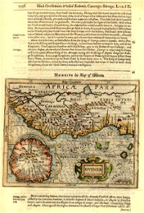
1727 maps of africa
1720s maps of egypt
1727 maps of africa
1720s maps of egypt
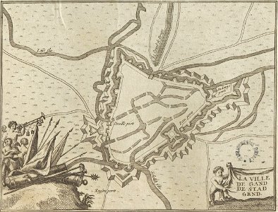
map of ghent by folkema, harrewijn, 1785
jacobus harrewijn
maps of guinea by mercator-hondius
jodocus hondius i
maps of brugse vrije by pieter pourbus
pieter pourbus
old maps of coevorden
atlas van loon
maps of the malay archipelago by mercator-hondius
map of bruges by marcus gheeraerts (i)
sint-gilliskwartier
carte du mexique et de la floride by guillaume delisle (1703)
french-language maps of mexico
maps by willem and johannes blaeu
1617 maps of africa
illustrations from letters from england
maps of ireland
rococo,neoclassicism
elementarwerk
historisk atlas (stockholm, norstedt & söner, 1880)
maps of 13th-century germany
maps of amersfoort by braun & hogenberg
maps by willem and johannes blaeu
typus orbis terrarum
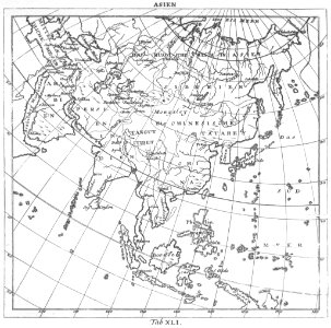
1570 maps of asia
merian plan of paris
baroque
charles william meredith van de velde
belad bechara
colonial wars of portugal
maps of goa by linschoten
maps of cambrai city walls
old maps of cambrai
4801 - 4900 of 26,489
Next page
/ 265