Log in
All resources
Create a design
26,489 Free Artworks of Map
maps by willem and johannes blaeu
gemeente atlas van nederland - south holland
1860s maps of south holland
bibliothèque nationale de france
turgot map of paris, david rumsey historical map collection – derivative files
maps by john cary
john cary
maps by nicolas sanson
sanson maps of north america
island of california
hamburgische elbkarte von melchior lorichs
parts of old maps of hamburg
1805 maps of the united states
maps by john cary
coats of arms of cities in haute-marne
charles-guillaume étienne
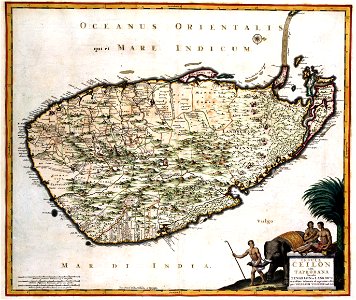
maps of ceylon by nicolaes visscher
sri lanka in the 17th century
1744 maps of quebec
saguenay river
lawrence h. slaughter collection of english maps, charts, globes, books and atlases
1700s maps of north america
english-language maps of africa
maps by emanuel bowen
lithographs of paris
floor plans of paris
sanson maps of north america
maps by nicolas sanson
sanson maps of north america
maps by nicolas sanson
maps made in the 17th century
bourbonnais (ducato)
beschreibung der städt der welt - braun & hogenberg - btv1b52512111k
maps of trier by braun & hogenberg
sanson maps of north america
maps by nicolas sanson
sanson maps of north america
maps by nicolas sanson
maps made in the 17th century
beauvais (contea)
german renaissance,northern renaissance
the ambassadors (holbein)
maps of rivers of india
1886 maps of india
a map of the valdichiana (rcin 912278)
high renaissance,renaissance
eran laor cartographic collection
caspar merian
jan karel donatus van beecq
hernán cortés
old maps of emden
baroque
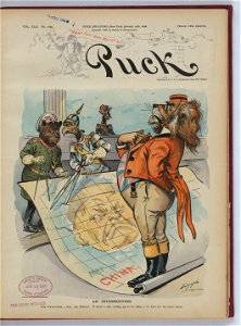
1898 covers of puck magazine
drawings of scissors
1910 maps of hamburg
emery walker
curt teich postcard archives
map postcards
maps from the earth and its inhabitants, vol. x
maps of africa
gemeente atlas van nederland - south holland
old maps of leiden
gemeente atlas van nederland - south holland
old maps of gouda
maps of south america by mercator-hondius
maps in the biblioteca nacional do brasil
17th-century maps of slovenia
1642 maps
maps from the earth and its inhabitants, vol. x
maps of africa
german-language maps of the balkans
1910s maps of albania
18th-century maps of zeeland
county of zeeland
old maps of the london borough of southwark
john rocque's 1746 map of london
gemeente atlas van nederland - south holland
old maps of gouda
maps by willem and johannes blaeu
1635 maps
maps by willem and johannes blaeu
1635 maps of ukraine
maps by john cary
1801 maps
maps of kodagu district
edward weller
maps of asia by mercator-hondius
jodocus hondius i
17th-century maps of iceland
iceland map by joris carolus
map of ghent by abraham casteleyn
abraham casteleyn
maps of royal palace of amsterdam
dutch baroque architecture
map of ghent by jan blaeu
1747 persia map by emanuel bowen
1740s maps of central asia
jan van der straet - inferno
mannerism
a map of the british empire in america with the french and spanish settlements adjacent thereto
maps in the library of congress
maps by john cary
1799 maps
david rumsey historical map collection
1790s maps of the holy roman empire
a map of the british empire in america with the french and spanish settlements adjacent thereto
maps in the library of congress
maps by willem and johannes blaeu
old maps of arnhem
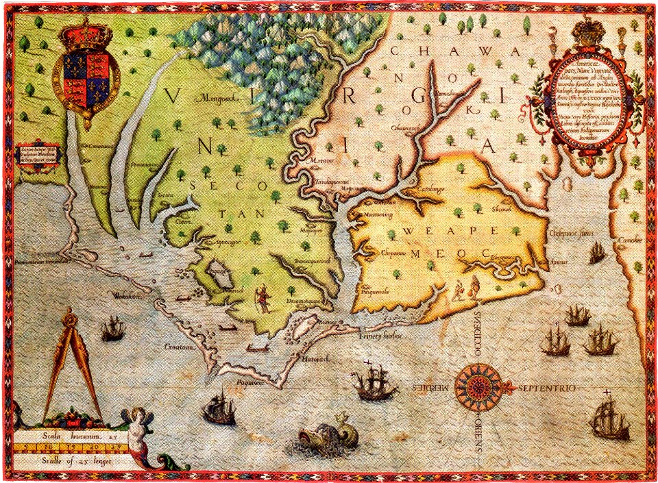
16th-century maps of north carolina
16th-century maps of virginia
oulu in the 1820s
classicism
hendrik van langren map of south asia
1596 maps of asia
16th-century double hemisphere world maps
1590s maps of the world
turgot map of paris, david rumsey historical map collection – derivative files
historical images of place des vosges
turgot map of paris, david rumsey historical map collection – derivative files
historical images of église saint-sulpice
sanborn maps of manhattan published in 1904
wanamaker's (manhattan)
turgot map of paris, david rumsey historical map collection – derivative files
hôtel de liancourt
old maps of baghdad
matrakçı nasuh
margraviate of moravia (1628-1782)
coats of arms on maps
old maps of delfland
maps of maassluis
art works by johann christian leopold
friedrich bernhard werner
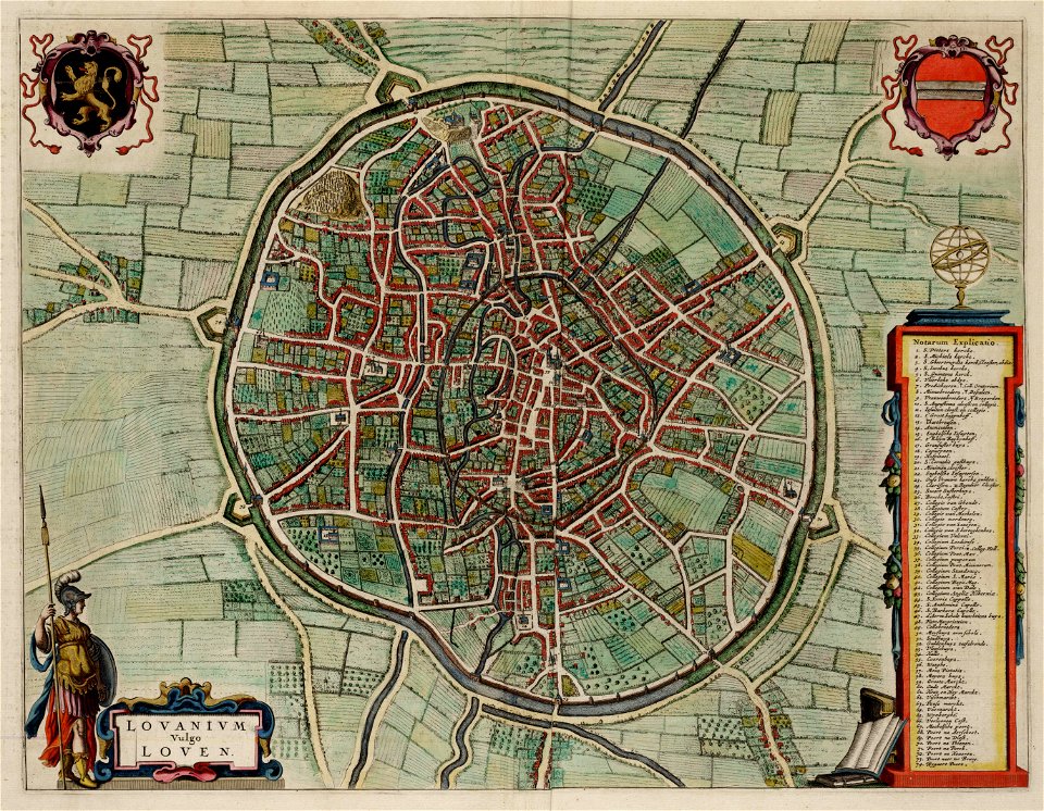
old maps of leuven
atlas van loon
topographia braunschweig lüneburg (merian)
baroque
maps of famagusta by braun & hogenberg
list of cities with defensive walls
old maps of regions of poland
starachowice
rococo,neoclassicism
elementarwerk
rococo,neoclassicism
elementarwerk
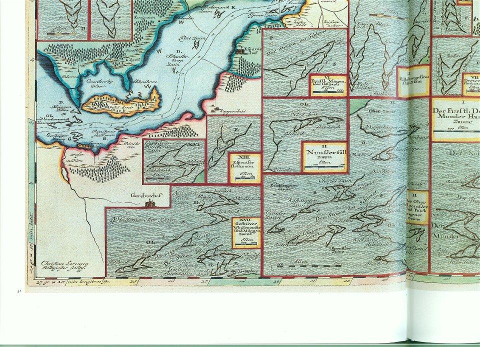
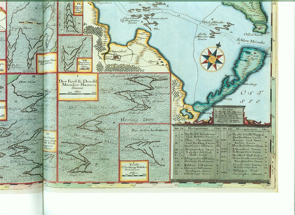
accuratissima sliae fluminis descriptio
maps by johannes mejer
accuratissima sliae fluminis descriptio
maps by johannes mejer
accuratissima sliae fluminis descriptio
maps by johannes mejer
cartes de franz schrader
old maps of the alps
19th-century maps of charente
1842 maps
maps of speyer by braun & hogenberg
maps of worms by braun & hogenberg
maps of málaga by braun & hogenberg
maps of cadiz by braun & hogenberg
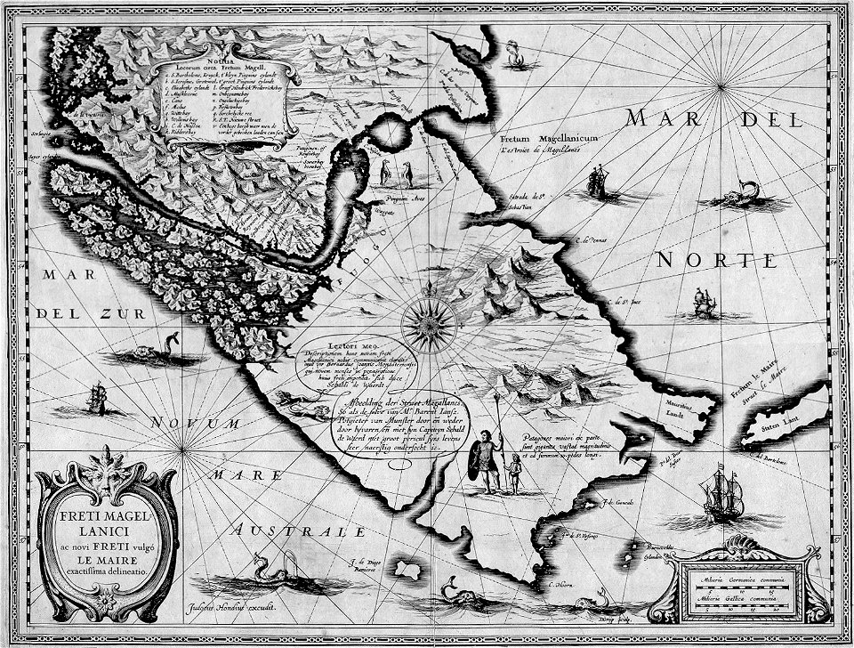
atlas ou representation du monde universel t. 2 (1633)
old maps of the republic of genoa
civitates orbis terrarum. de praecipuis totius universi urbibus. liber secundus
maps of neuss by braun & hogenberg
atlas ou representation du monde universel t. 2 (1633)
maps by hendrik hondius the younger
civitates orbis terrarum. de praecipuis totius universi urbibus. liber secundus
maps of kleve by braun & hogenberg
old maps of the tsardom of russia
volga–don canal
civitates orbis terrarum. de praecipuis totius universi urbibus. liber secundus
maps of wissembourg by braun & hogenberg
turgot map of paris, david rumsey historical map collection – derivative files
île louviers
curt teich postcard archives
map postcards
gemeente atlas van nederland - south holland
maps of loosduinen
maps of ancient italy by philipp clüver
eran laor cartographic collection
the comprehensive history of england (1876)
english-language maps showing history
cary's new itinerary (1815)
1810s maps of england
guide joanne espagne et portugal-1915
1915 maps
maps from the earth and its inhabitants, vol. xii
canary islands in the 1890s
maps from the earth and its inhabitants, vol. xii
canary islands in the 1890s
maps by willem and johannes blaeu
old maps of gorinchem
the loyal west in the times of the rebellion (illinois)
cairo, illinois in the 1860s
maps by willem and johannes blaeu
old maps of dordrecht
gemeente atlas van nederland - south holland
1860s maps of south holland
maps of rotterdam by berckenrode
kolk (rotterdam)
maps from the earth and its inhabitants, vol. xii
canary islands in the 1890s
maps of austro-prussian war
old maps of czechia
gemeente atlas van nederland - south holland
1860s maps of south holland
turgot map of paris, david rumsey historical map collection – derivative files
hôtel de guénégaud (quai de nevers)
maps by jodocus hondius
1628 maps
4701 - 4800 of 26,489
Next page
/ 265