Log in
All resources
Create a design
26,489 Free Artworks of Map
description de l'universe
alain manesson mallet
maps in the library of congress
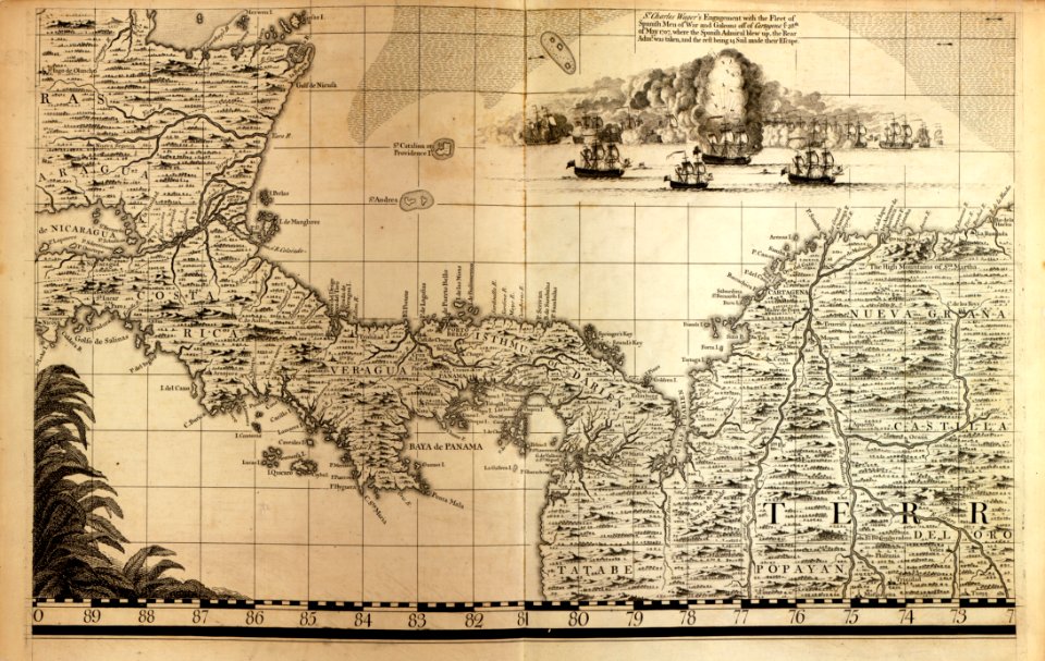
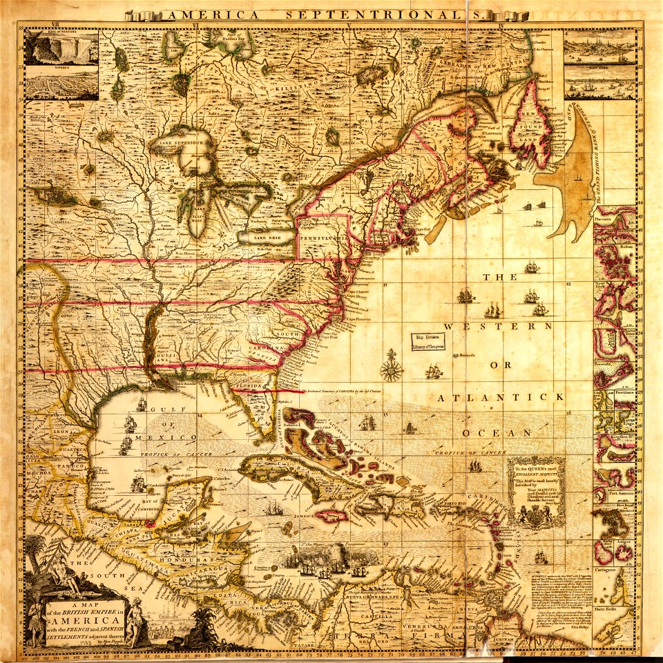
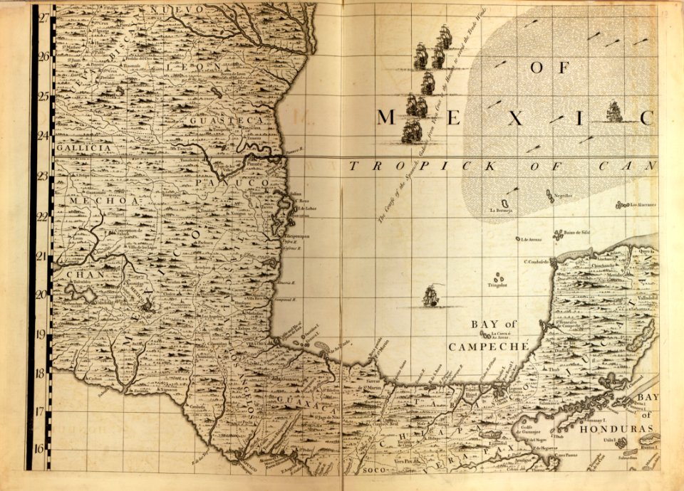
a map of the british empire in america with the french and spanish settlements adjacent thereto
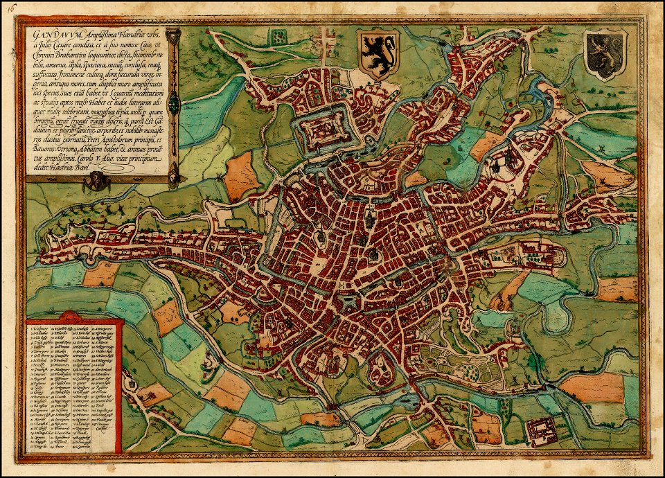
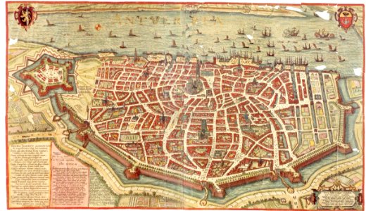
maps of ghent by braun & hogenberg
maps by willem and johannes blaeu
1685 maps of europe
bibliothèque nationale de france
maps from the earth and its inhabitants, vol. xi
africa in the 1890s
maps in the stadsarchief amsterdam
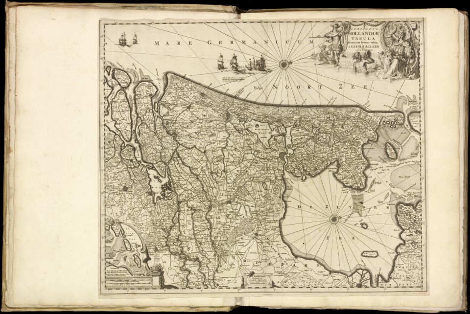
maps by carolus allard
a map of the british empire in america with the french and spanish settlements adjacent thereto
maps in the library of congress
a map of the british empire in america with the french and spanish settlements adjacent thereto
maps in the library of congress
a map of the british empire in america with the french and spanish settlements adjacent thereto
maps in the library of congress
a map of the british empire in america with the french and spanish settlements adjacent thereto
maps in the library of congress
a map of the british empire in america with the french and spanish settlements adjacent thereto
maps in the library of congress
maps in the library of congress
1771 maps of north america
map of paris by claes jansz. visscher - derivate files
17th-century people of paris
map of paris by claes jansz. visscher - derivate files
17th-century people of paris
maps in the staats- und universitätsbibliothek hamburg
1594 maps of hamburg
eran laor cartographic collection
pierre mortier
maps of ghent by braun & hogenberg
maps of brussels by braun & hogenberg
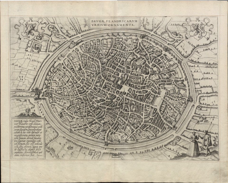
maps of bruges by braun & hogenberg
maps of ghent by braun & hogenberg
maps of ghent by braun & hogenberg
map of ghent by pierre husson
maps of ghent by braun & hogenberg
maps of ghent by i. tirion
maps of ghent by braun & hogenberg
map of ghent by jan blaeu
maps of ghent by petrus schenck
maps of bruges by jacques harrewijn
maps of bruges by jan blaeu
history of whitby, north yorkshire
british library maps collections
maps from the earth and its inhabitants, vol. vi
latin-language maps
maps from the earth and its inhabitants, vol. xvii
anton francesco lucini
dutch 18th-century prints in the rijksmuseum amsterdam
old maps of amsterdam
accuratissima sliae fluminis descriptio
maps by johannes mejer
maps by claude joseph sauthier
old maps of new york (state)
maps by willem and johannes blaeu
maps of steenwijk
maps of bruges by basire
james basire
maps by willem and johannes blaeu
old maps of vlaardingen
maps by willem and johannes blaeu
1665 maps
maps by willem and johannes blaeu
johannes blaeu - map of antwerp
1590s maps of the world
maps by girolamo porro
architectural drawings of luxembourg palace
historical images of luxembourg palace
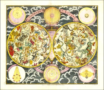
18th-century celestial maps
georg christoph eimmart
ottoman istanbul in art
1570s maps of istanbul
maps from the earth and its inhabitants, vol. xi
africa in the 1890s
maps from the earth and its inhabitants, vol. xi
africa in the 1890s
maps from the earth and its inhabitants, vol. xi
africa in the 1890s
description de l'universe
1683 maps
maps from the earth and its inhabitants, vol. xi
africa in the 1890s
romania in the 17th century
danubius pannonico-mysicus
map of paris by braun & hogenberg - derivative files
rue de braque on maps
1779 maps of new york (state)
old maps of new york (state)
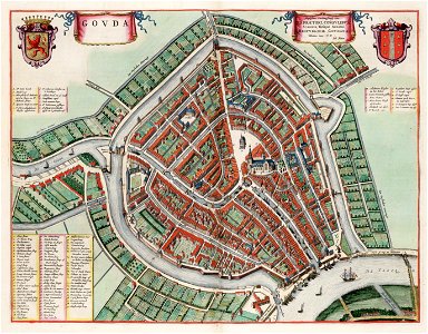
old maps of gouda
atlas van loon
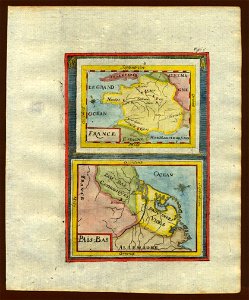
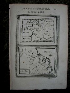
17th-century maps of france
description de l'universe
17th-century maps of france
description de l'universe
old maps of whole wales (alone)
description de l'universe
1680s maps of baden-württemberg
description de l'universe
1680s maps of lower saxony
description de l'universe
17th-century maps of the iberian peninsula
description de l'universe
description de l'universe
1680s maps of scotland
description de l'universe
1680s maps of ireland
17th-century maps of france
description de l'universe
17th-century maps of italy
description de l'universe
maps by wilhelm maximilian carpelan
gröndal, maps
syria in the 1940s
arthur blackburn
maps of krimpenerwaard
atlas novus (blaeu)
media from the national library of finland
classicism
italia - di matteo greuter... - btv1b525056959
old maps of apulia
1880s maps of tunisia
maps from gallica
antoine-françois tardieu
jean-baptiste poirson
maps of antwerp by braun & hogenberg
maps of antwerp
coats of arms of rhône
old maps of rhône
prints published by jacob van meurs in the rijksmuseum amsterdam
prints by jacob van meurs in the rijksmuseum amsterdam
old maps of the hague
old maps of delfland
old maps of lake constance
old maps of swabia
maps of torzhok
erik palmqvist
maps by john cary
john cary
maps from university of amsterdam special collections
atlas der neederlanden
old maps of westphalia
bindenschild
en rejse i rødkarenernes land
old maps of myanmar
maps from the earth and its inhabitants, vol. iv
topographic maps of the united kingdom
maps from the earth and its inhabitants, vol. xv
19th-century maps of british columbia
maps from the earth and its inhabitants, vol. xiii
maps of weather and climate of south africa
old maps of la gomera
1878 maps of spain
maps from the earth and its inhabitants, vol. xii
19th-century maps of senegal
maps from the earth and its inhabitants, vol. iv
topographic maps of ireland
maps from the earth and its inhabitants, vol. xv
19th-century maps of british columbia
maps from the earth and its inhabitants, vol. xiv
1870s maps of new zealand
maps from the earth and its inhabitants, vol. iv
old maps of the lake district
john rocque's 1746 map of london
details of old maps of london
1740s maps of the united kingdom
maps in the british museum
victor levasseur - maps of the world
neoclassicism
maps of the iberian peninsula by guillaume delisle
1700s maps of the iberian peninsula
maps of the iberian peninsula by guillaume delisle
1700s maps of the iberian peninsula
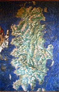
sardinia (galleria delle carte geografiche)
16th-century maps of sardinia
old maps of virginia in the american civil war
1863 maps of west virginia
cityscapes of billings, montana
old maps of cities in montana
maps from the earth and its inhabitants, vol. x
damietta branch
curt teich postcard archives
map postcards
images of places from encyclopædia britannica
old maps of glasgow
images of places from encyclopædia britannica
emery walker
gemeente atlas van nederland - south holland
1860s maps of south holland
gemeente atlas van nederland - south holland
old maps of brielle
gemeente atlas van nederland - south holland
old maps of the hague
16th-century maps of slovenia
1589 maps
3901 - 4000 of 26,489
Next page
/ 265