Log in
All resources
Create a design
10 Free Artworks of Topographic Maps Of The United Kingdom
bibliothèque nationale de france
british library king's topographical collection
robert dodd
john & josiah boydell
maps from the earth and its inhabitants, vol. iv
topographic maps of ireland
1870s maps of the british isles
a topographical map of the county of berks (1761)
naval ships of the united kingdom
josiah boydell
cuninghame, topographized by timothy pont (1876)
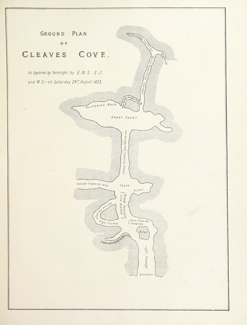
maps of caves in the united kingdom
maps from the earth and its inhabitants, vol. iv
topographic maps of the united kingdom
maps from the earth and its inhabitants, vol. iv
topographic maps of ireland
maps of county armagh
1760s maps of ireland
a topographical map of the county of berks (1761)
bibliothèque nationale de france
a topographical map of the county of berks (1761)
bibliothèque nationale de france
british library king's topographical collection
robert dodd
british library king's topographical collection
robert dodd
british library king's topographical collection
john & josiah boydell
prints, drawings and watercolours of the royal museums greenwich
william henry toms
1 - 10 of 10
/ 1